Originally Posted: March 2025
Southeast Thetis Knoll Ski Tour / Snowshoe Trek
South Thetis Creek Valley
Southeast Thetis Knoll (4120+ ft)
Route Summary
Region: Central Washington Cascades
Sub-Region: Keechelus Mountains
Area: Okanogan–Wenatchee National Forest
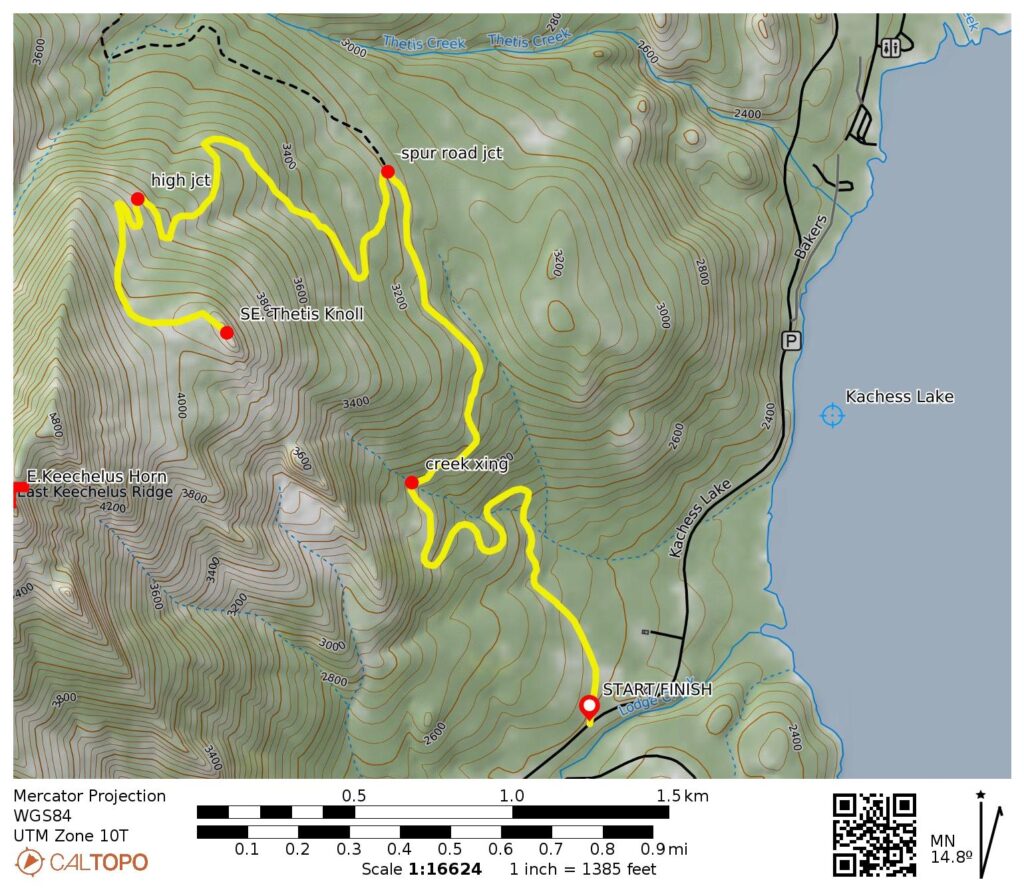
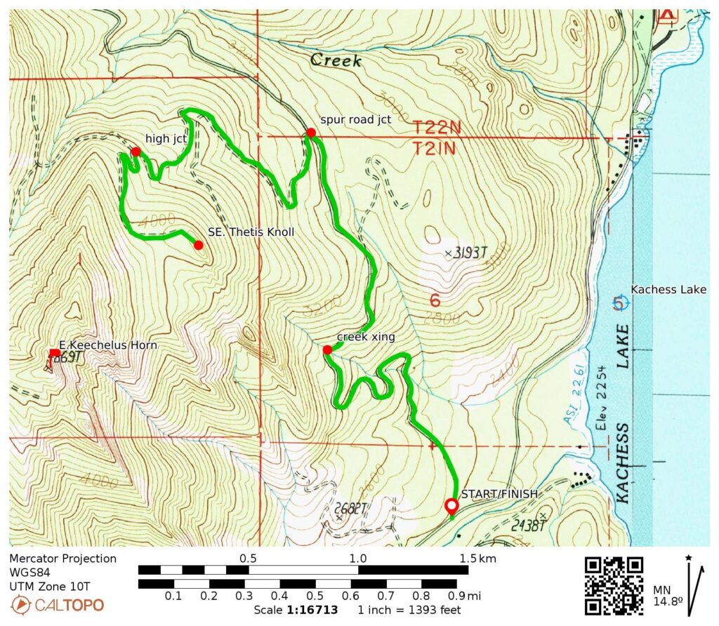
Starting & Ending Point: Kachess Lake Sno-Park on Kachess Lake Road #49 (Elev. 2400 feet)
Way Points: South Fork Thetis Creek spur road junction & Southeast Thetis Knoll spur road junction & Southeast Thetis Saddle & Southeast Thetis Knoll summit (snowshoe trek or ski tour)
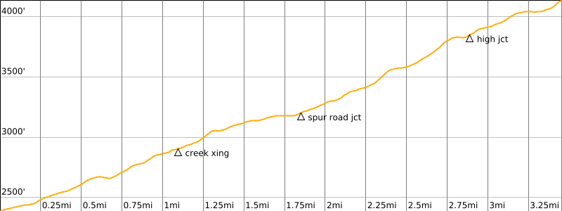
Approximate Stats: 7.0 miles traveled; 1750 feet gained & lost.
Typical Season: late December thru mid April
Information Sources
The following links provide helpful information for planning this ski tour. Even these information sources, however, should not be taken as a substitute for having the fitness, knowledge, equipment, and clothing required for ski touring.
>>> WSDOT road reports for Interstate-90 and Snoqualmie Pass
>>> National Weather Service weather forecast for Snoqualmie Pass area
>>> Northwest Avalanche Center avalanche forecast for Snoqualmie Pass area
>>> Other easy to intermediate ski tours in the I-90 / Snoqualmie Pass corridor
>>> Other easy to intermediate snowshoe treks in the I-90 / Snoqualmie Pass corridor
Route Overview
Southeast Thetis Knoll is a virtually unknown but rewarding wintertime destination in the Keechelus Mountains closely north of Interstate-90. It offers a fine vantage point for the rugged peaks of the Snoqualmie Range and the serene waters of Kachess Lake. Because the entire route described here follows a series of avalanche-safe forest roads, it can reasonably be performed on either snowshoes or backcountry skis and under a wide variety of conditions. There are shorter routes to the knoll summit, but they all involve steeper terrain that has some avalanche risk.
Be aware that the area is very popular with snowmobilers, so it is advisable to avoid weekends and holidays. Even on weekdays, you should expect to encounter snowmobile tracks along the road. For this reason, I prefer using skis only when there is a lot of fresh snow; otherwise, I find snowshoes to be more practical.
Parking Comments
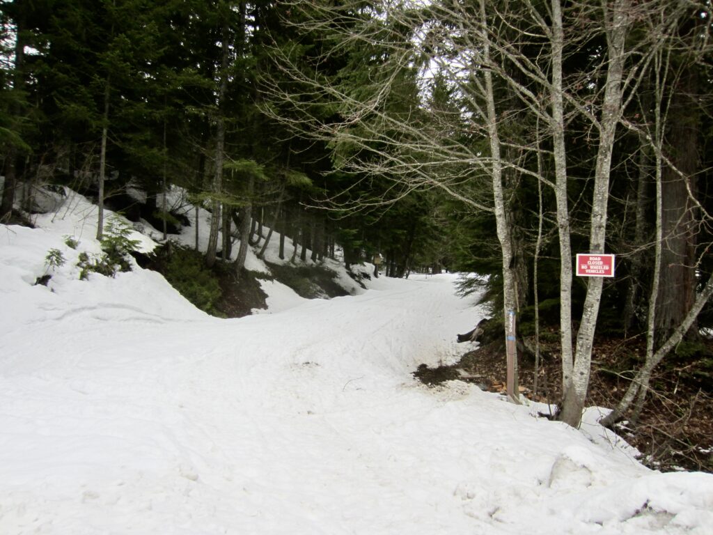
The route described herein begins and ends at the Kachess Lake Sno-Park, which is located on Kachess Lake Road. This sno-park can be reached from Interstate-90 at Exit 62 and driving northward for approximately 3 miles. As you first enter the designated sno-park area, look for Thetis Creek Road #4936 angling off to the left (north). There is usually a snow berm at the roadhead. Park on the south side of Kachess Lake Road. Be aware that parking spots fill up quickly on weekends and holidays, so plan to arrive early during the high season. Furthermore, a Washington State Sno-Park permit is required to park here.
.
Route Description
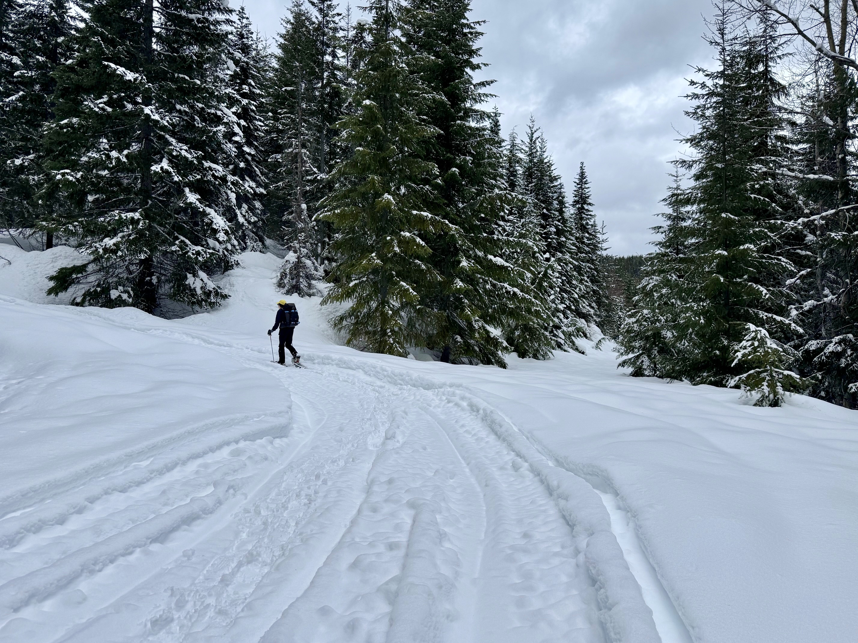
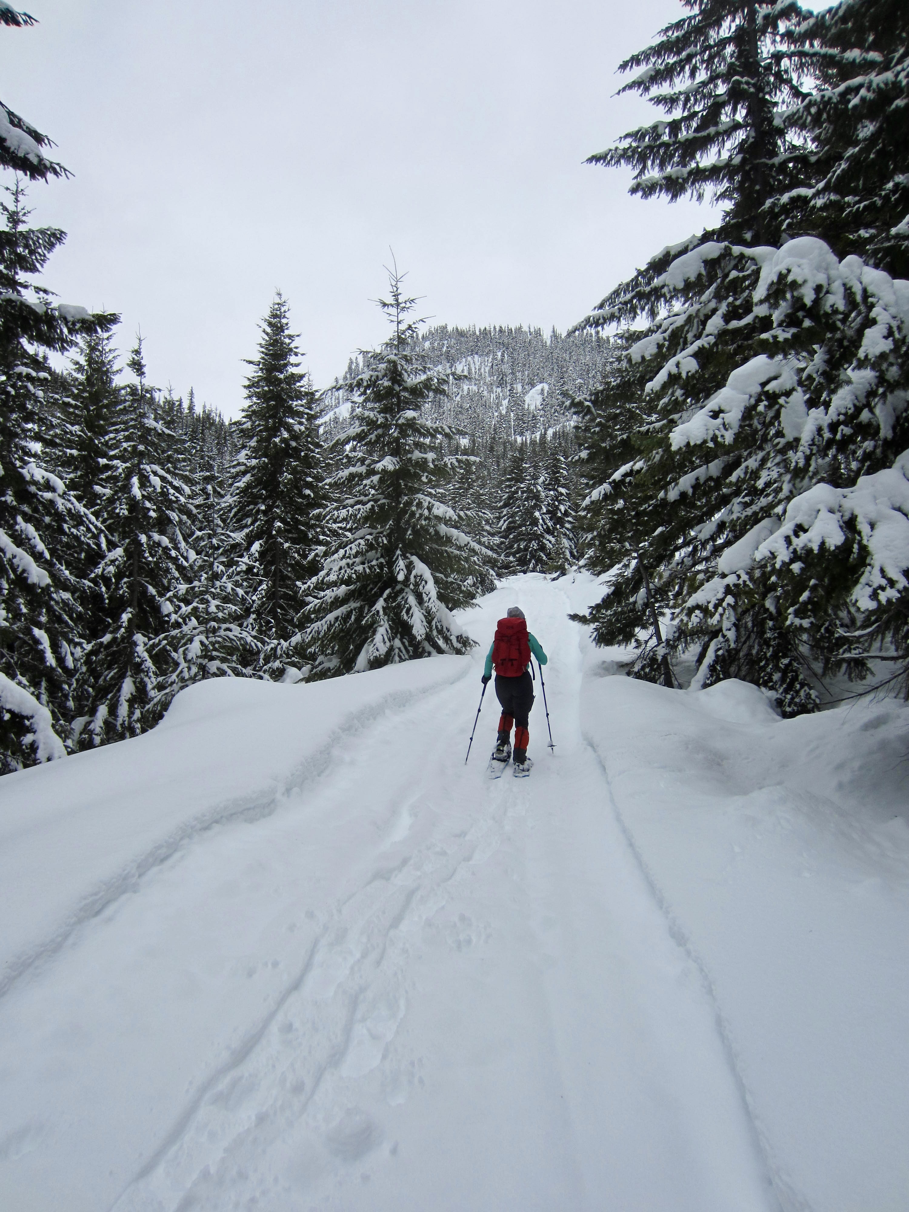
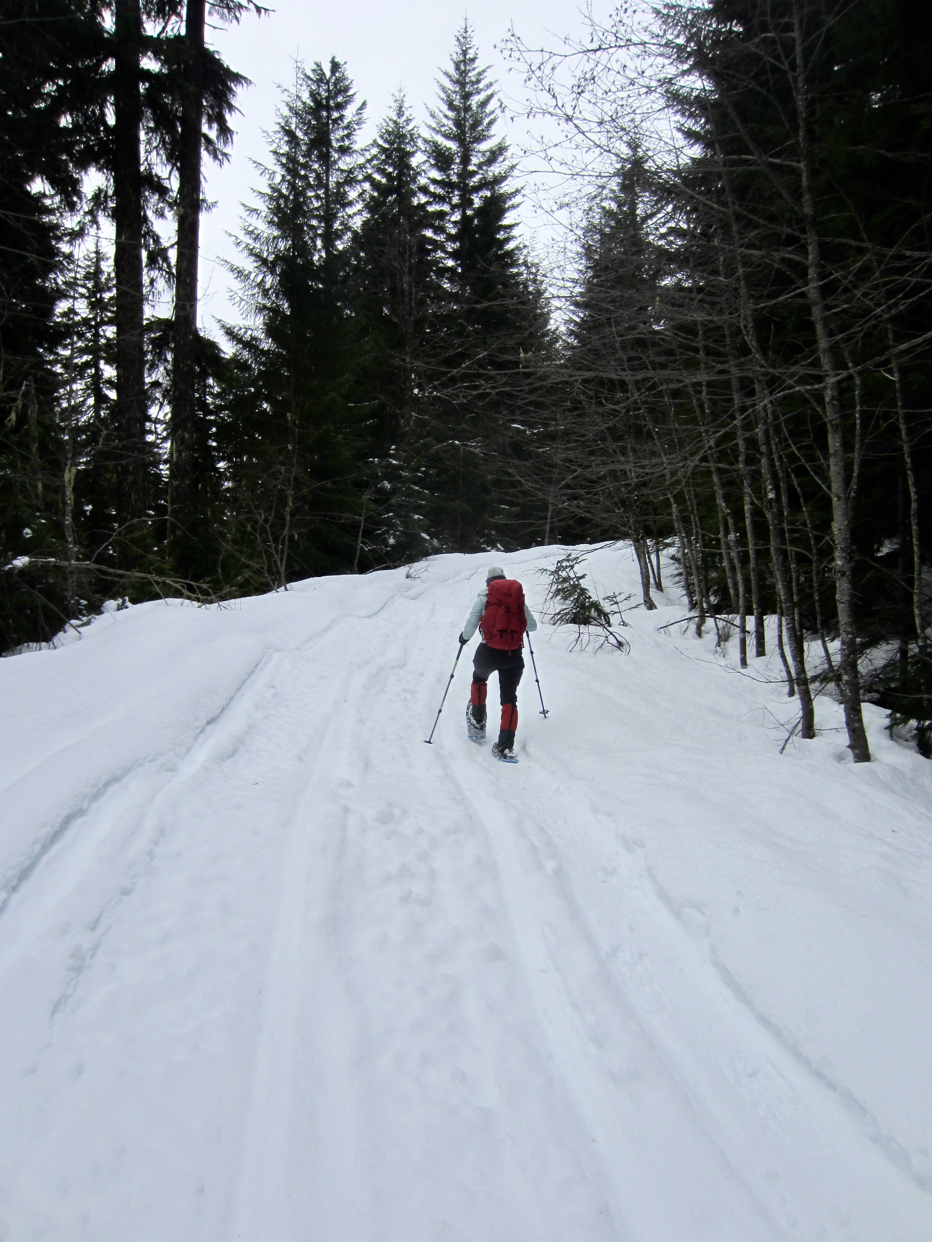
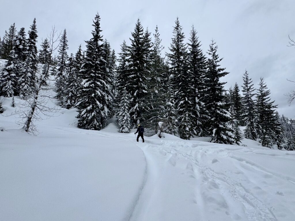
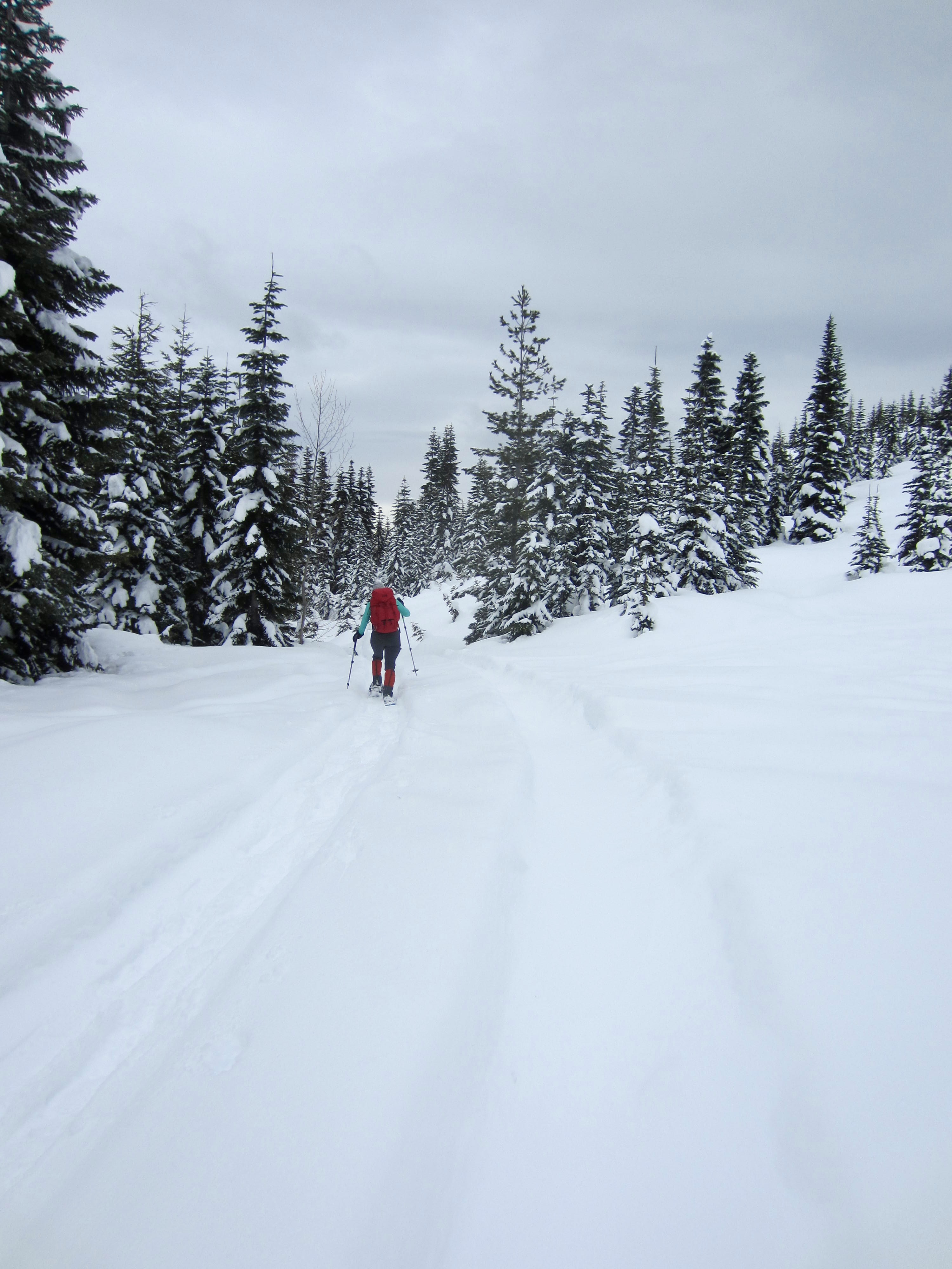
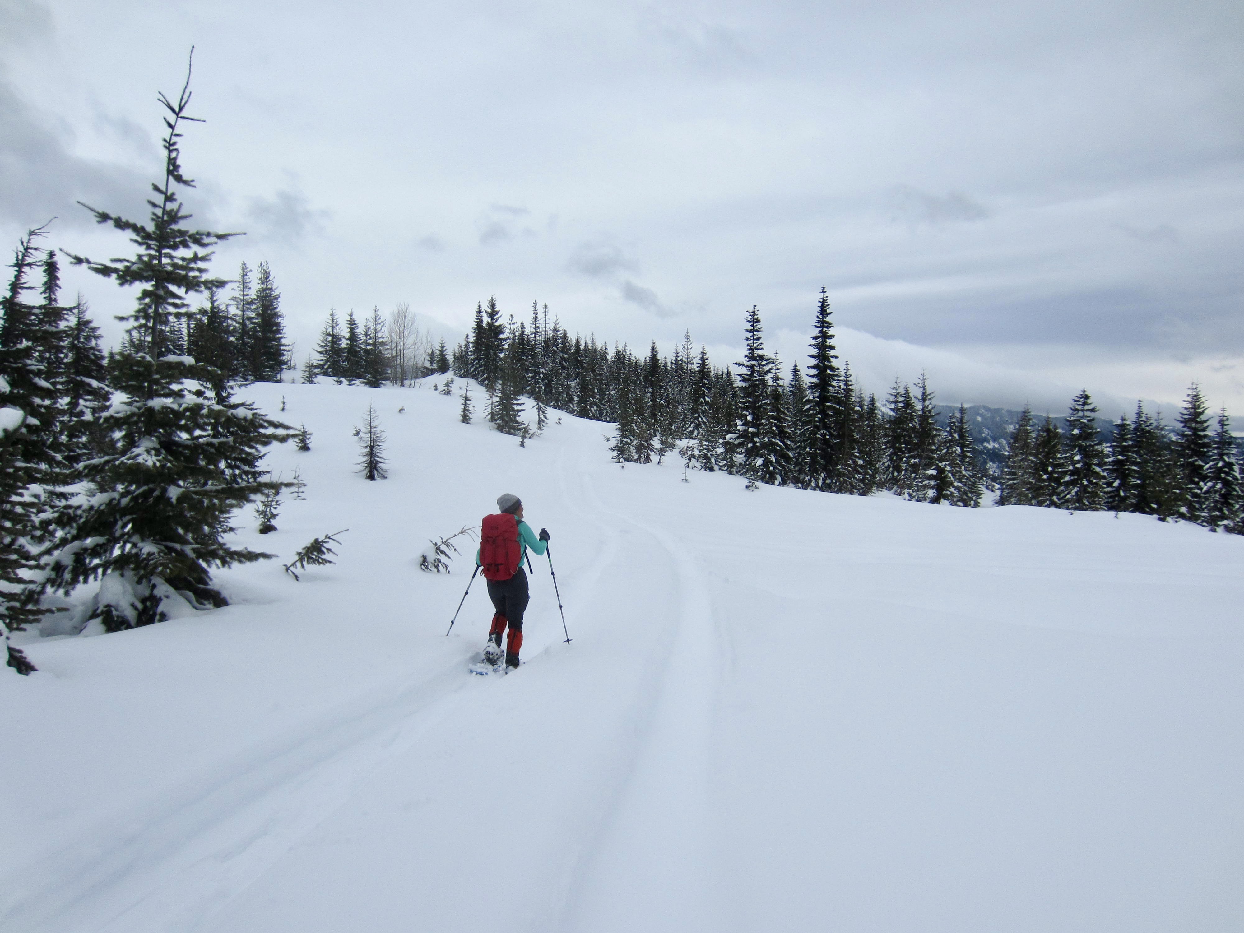
Ski or snowshoe northward on Thetis Creek Road #4936 as it passes between a small cluster of private cabins and then begins a steady ascent of the forested hillslope. Proceed through a series of switchbacks, followed by a low-angle northerly traverse.
.
At a point approximately 2 miles from the sno-park, you will arrive at a junction with an unmarked spur road on the left. Road #4936 continues straight ahead and eventually crosses the main fork of Thetis Creek. The spur road climbs steeply toward the south fork of Thetis Creek. Take this spur road.

.
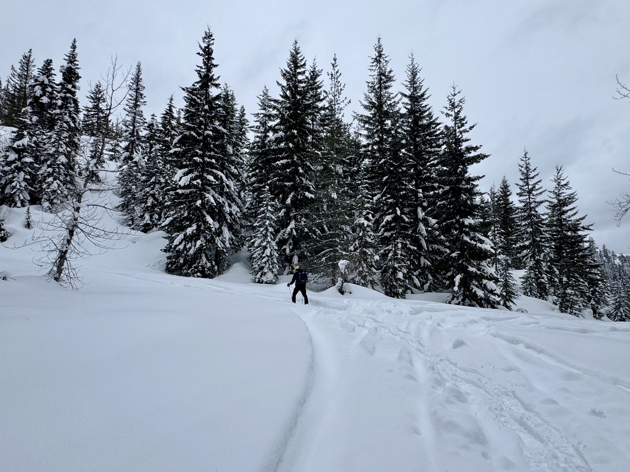
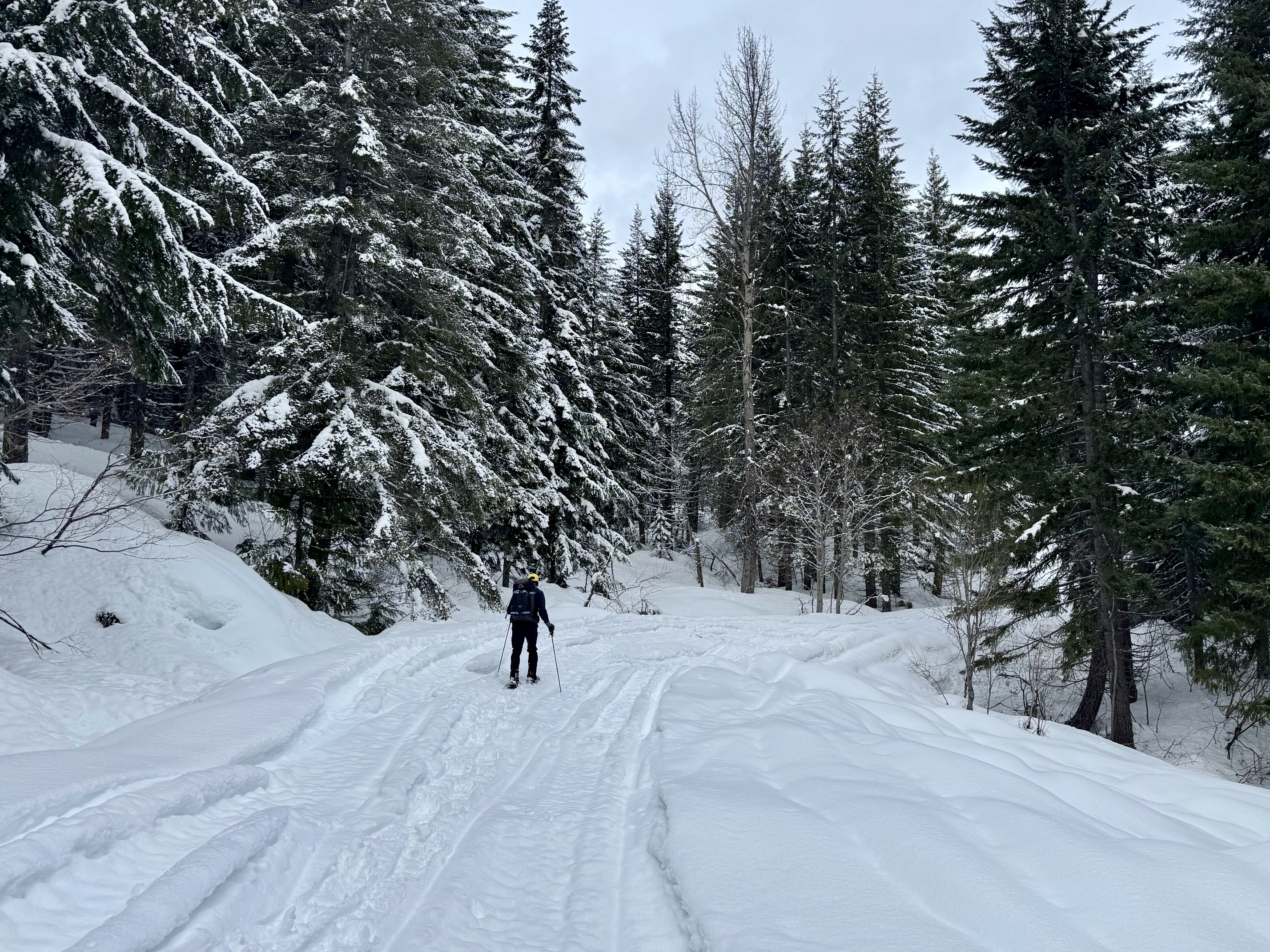
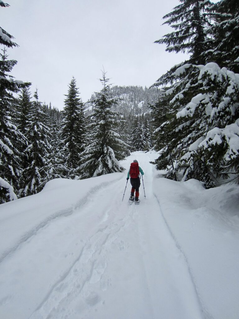
The south fork spur road makes three switchbacks as it ascends the east-facing hillslope. Shortly beyond the third switchback, turn left onto yet another unmarked spur road. This road makes two tight switchbacks and then traverses southward. The forested hump of Southeast Thetis Knoll–your destination–comes into view during the traverse.
.
.
.
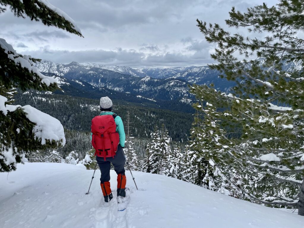
After traversing for ¼ mile, the spur road curves to the left (east) and drops slightly into a broad saddle. Proceed straight ahead to gain the summit of nearby Southeast Thetis Knoll (3.5 miles + 1750 feet from sno-park).
.
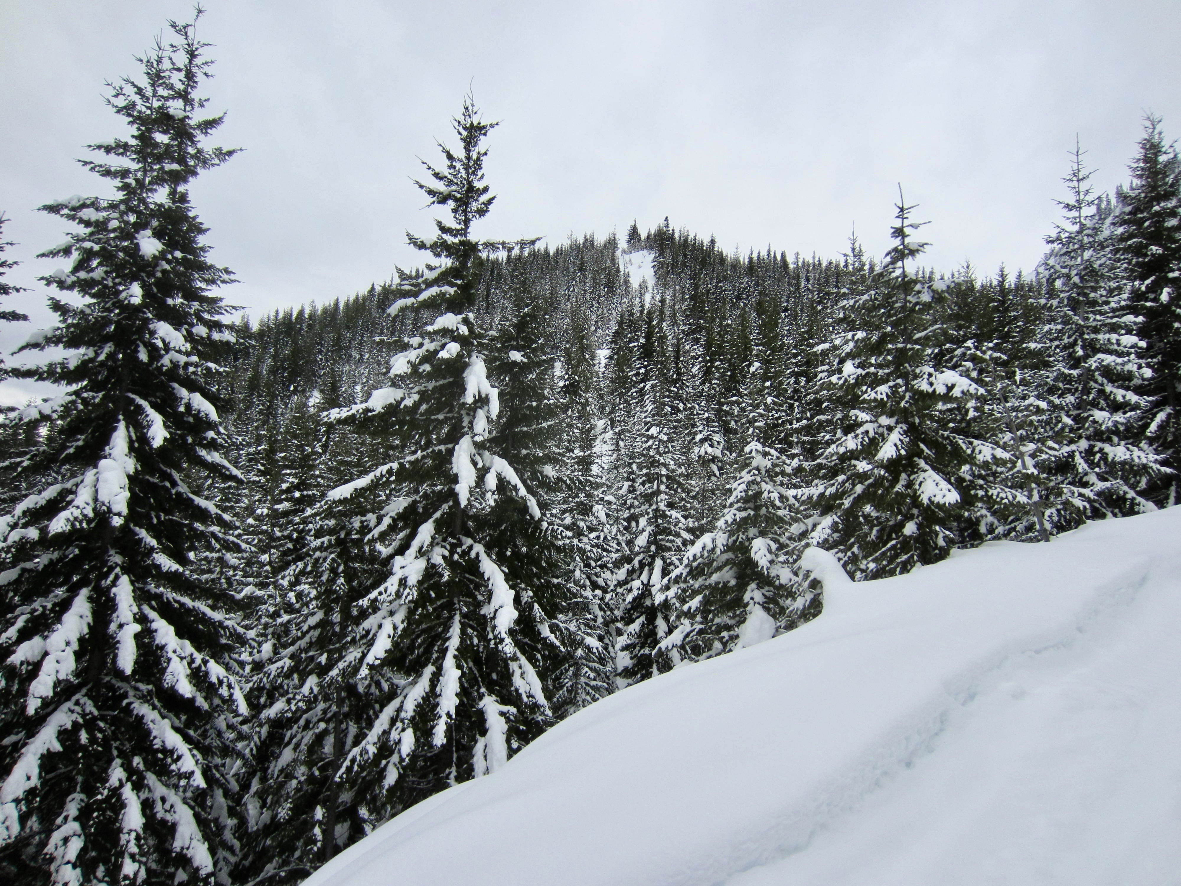
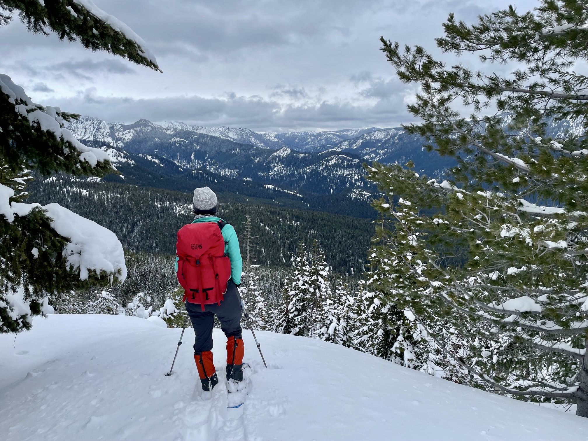
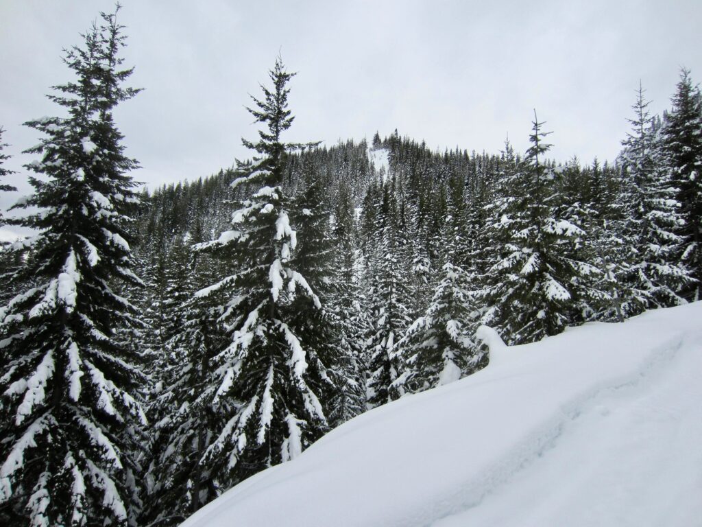
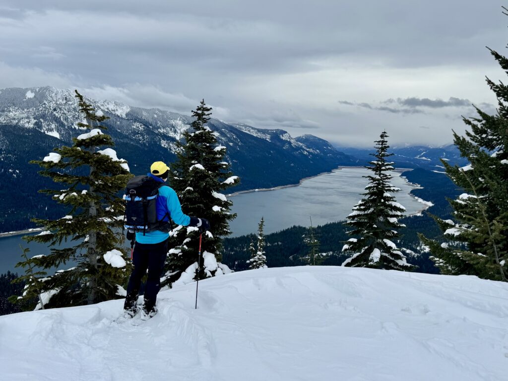
For the best views, continue out to the eastern edge of the summit dome. On a clear day, you can see the rugged Snoqualmie Range stretching out to the north and Kachess Lake extending to the south. Thorp Mountain and French Cabin Mountain stand directly to the east. The rocky point on the ridge closely behind you is East Keechelus Horn.
.
.
Equipment Comments
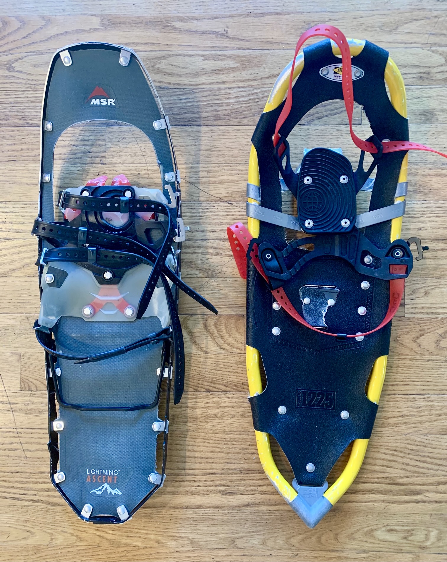
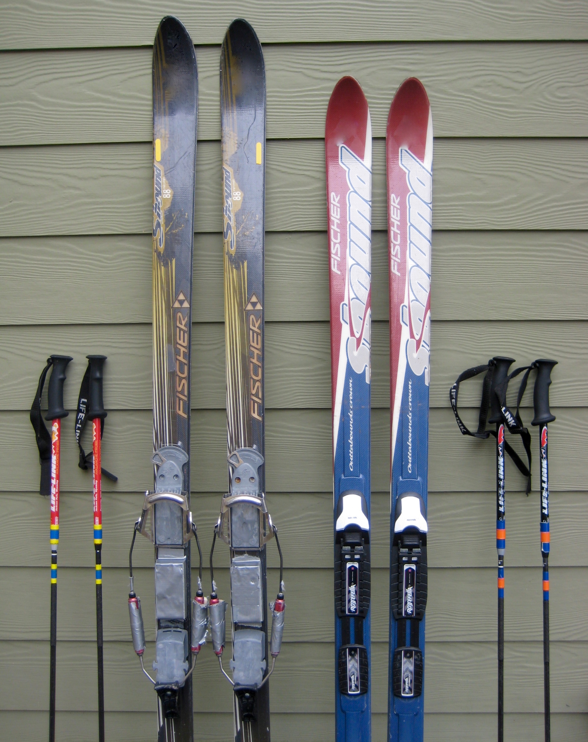
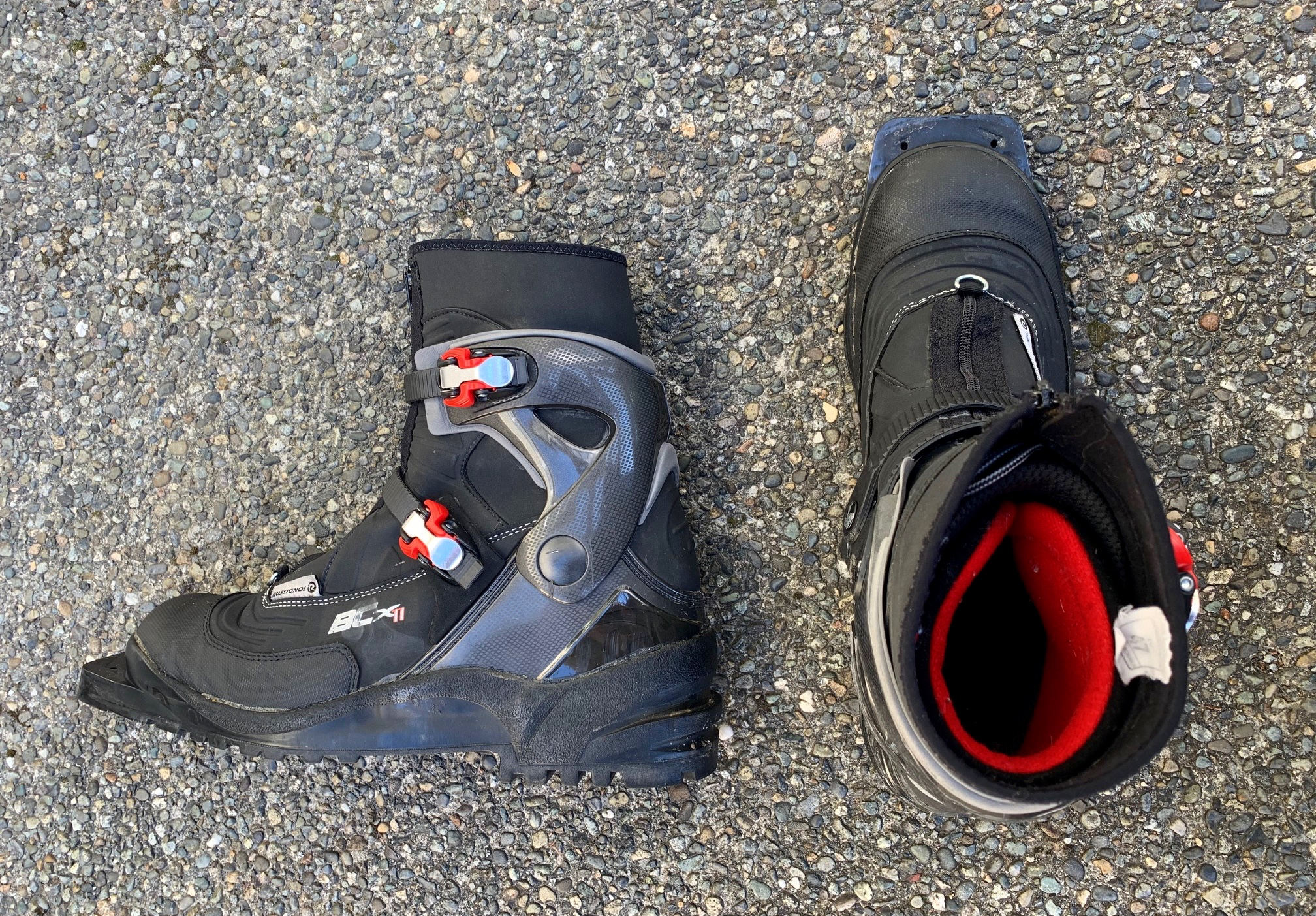
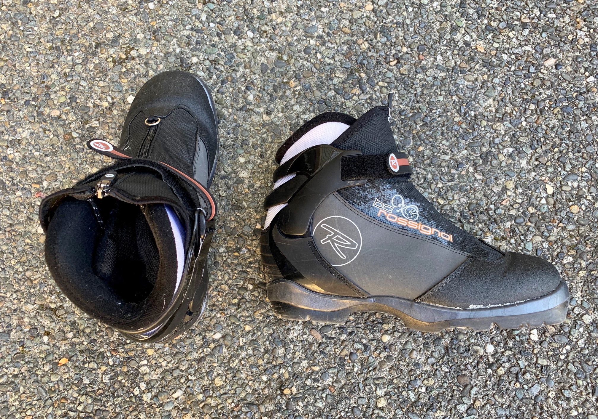
If doing this as a snowshoeing trek, you will find that it is suitable for either trail or mountain snowshoes. If doing it as a ski tour, I recommend using medium-width, fishscale-base, backcountry nordic touring skis, mounted with either 75-mm bindings or NNN-BC bindings. These should be combined with compatible nordic touring boots. I also highly recommend using either partial or full-length climbing skins for the long ascent, as well as adjustable ski poles to maximize touring efficiency over the varied terrain.
For more information regarding the specialized equipment that I use for this particular trip and that I typically use for other trips of this type, see my gear discussions and reviews on the following pages:
>>> Trail & Mountain Snowshoes
>>> Backcountry Nordic Ski Touring Gear
>>> Backcountry Ski & Snowshoe Packs
>>> Wintertime Comfort Accessories
…
Route Maps & Profile
…
…
…
Photo Gallery
Click to enlarge…