Originally Posted: April 2022
Updated: December 2025
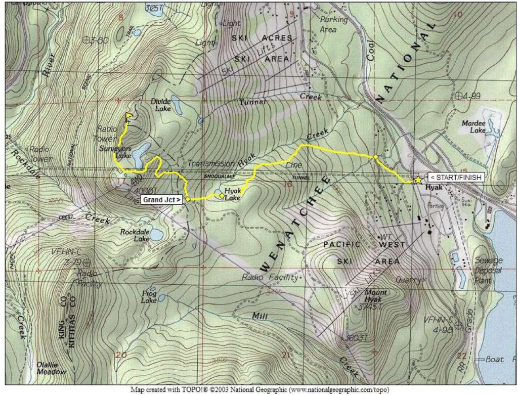
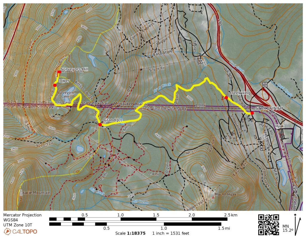
Surveyors Hill Snowshoe Trek / Ski Tour
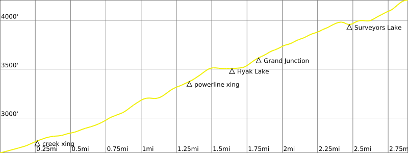
Hyak Lake
Grand Junction
Surveyors Lake
Surveyors Hill (4200+ ft)
Route Summary
Region: Central Washington Cascades
Sub-Region: Iron Horse Mountains
Area: Okanogan–Wenatchee National Forest
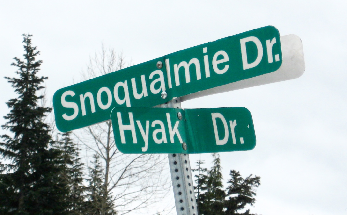
Starting & Ending Point: Snoqualmie Drive / Hyak Drive intersection (Elev. 2640 feet)
Way Points: Snoqualmie Drive / Cascade Place intersection & Nordic Pass Trailhead (road walk); Little Hyak Creek & Hyak Creek & Lower Crossover Ski Trail & InterSummit-90 Ski Trail & Hyak Lake & Grand Junction & Surveyors Lake & Surveyors Hill summit (snowshoe hike or ski tour)
High Point: Surveyors Hill (Elev. 4200+ feet)
Approximate Stats (round trip): 6.0 miles traveled; 1600 feet gained & lost.
Typical Season: mid-December thru late April
Related Posts
>>> Nordic Pass Snowshoe Hike & Ski Loop – detailed route description
>>> Mt. Catherine Snowshoe Climb via West Ridge
Information Sources
The following links provide helpful information for planning this snowshoe trek or ski tour. Even these information sources, however, should not be taken as a substitute for having the fitness, knowledge, equipment, and clothing required for snowshoe trekking or ski touring.
>>> WSDOT road reports for Interstate-90 and Snoqualmie Pass
>>> National Weather Service weather forecast for Snoqualmie Pass area
>>> Northwest Avalanche Center avalanche forecast for Snoqualmie Pass area
>>> Other easy to intermediate ski tours in the I-90 / Snoqualmie Pass corridor
>>> Other easy to intermediate snowshoe treks in the I-90 / Snoqualmie Pass corridor
Route Overview
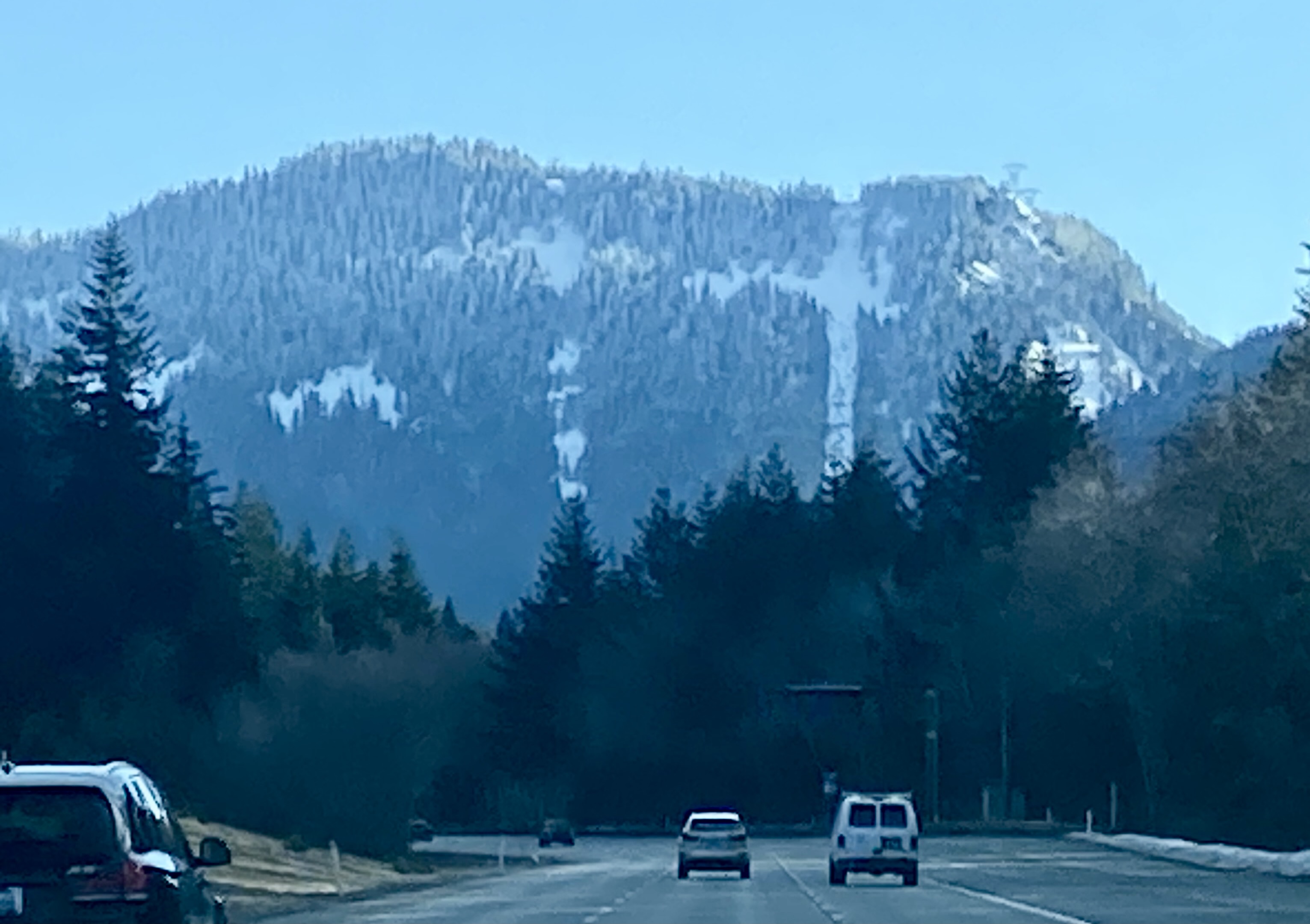
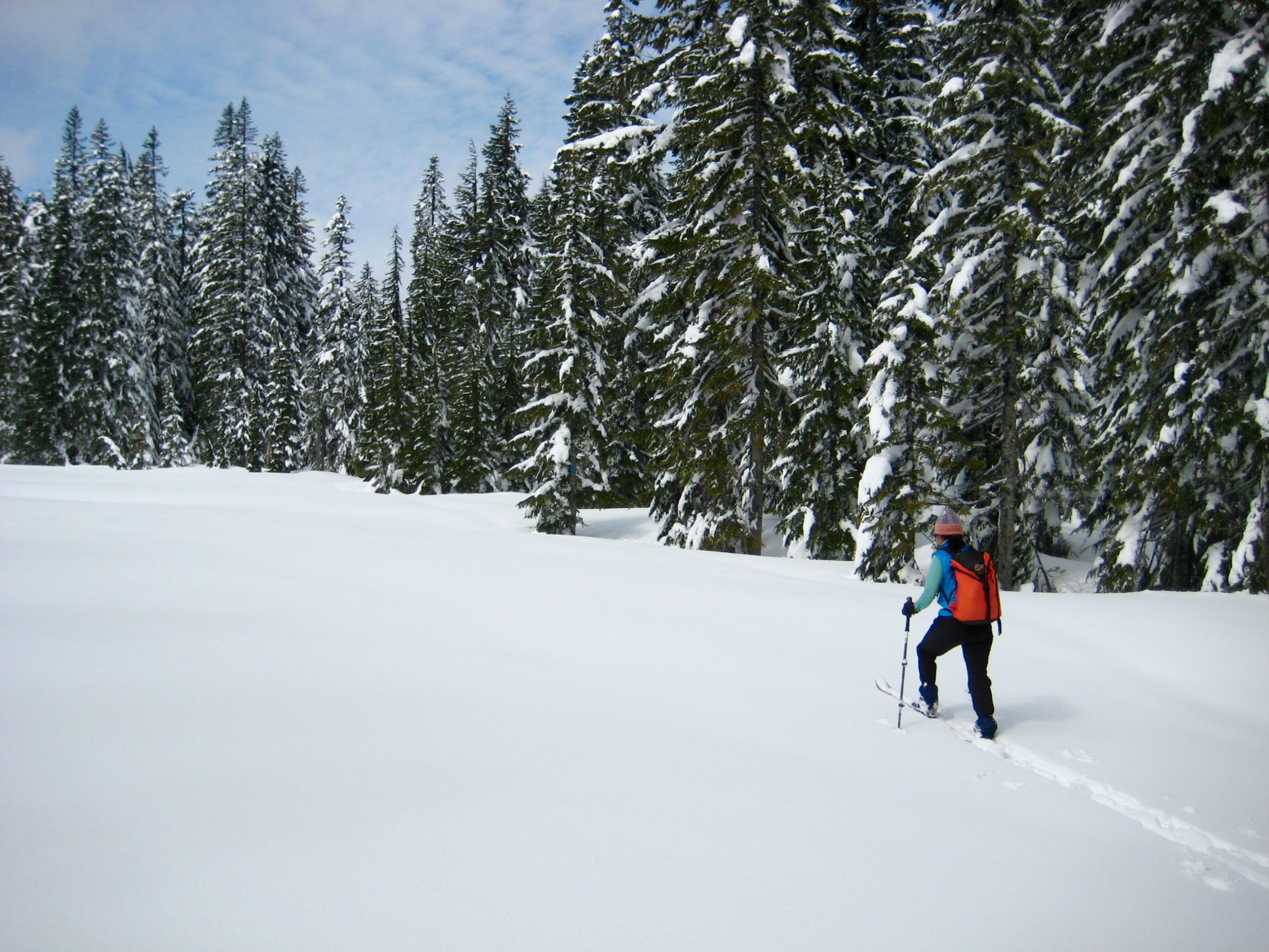
Surveyors Hill is a forested hill located approximately 3 miles south of Snoqualmie Pass. It is clearly visible from eastbound Interstate-90 between Milepost 45 and Milepost 47 and is easily identified by a powerline swath crossing over its shoulder. Despite its proximity to the Summit Central and Summit Nordic ski areas, Surveyors Hill does not seem to be a well-known wintertime destination, yet it makes an excellent snowshoe or ski trek due to varied terrain and interesting navigation. Some maps show the name “Ski Acres Hill” on this summit, as a reference to the former name for Summit Central Ski Area, but “Surveyors Hill” is more appropriate due to its position immediately above Surveyors Lake.

.
The winter route to Surveyors Hill involves a combination of backcountry travel through undeveloped forest land and front-country travel on well-graded forest roads. At several points, the route crosses groomed alpine or nordic ski trails, but none of the route itself is regularly groomed. Because the terrain is not subjected to any significant risk from avalanches, the trip can be done under a wide range of snow and weather conditions. Additionally, the route goes past Hyak Lake, which provides a worthy destination for skiers or snowshoers wanting a shorter trip.
The route described here begins at Hyak and follows the Nordic Pass Trail up to Hyak Lake. An alternative starting point is Silver Fir Outpost, which is located about ¾ mile north of Hyak. From there, the Silver Fir Trail can be followed up to Hyak Lake. I prefer to start at Hyak because there is more parking available and the Nordic Pass Trail is more interesting. The Silver Fir Trail is a bit more direct but parking is very limited during the peak ski season, especially on weekends and holidays. Be aware that both trail options are really just marked backcountry routes and, as such, require good navigation skills.
.
Parking Comments
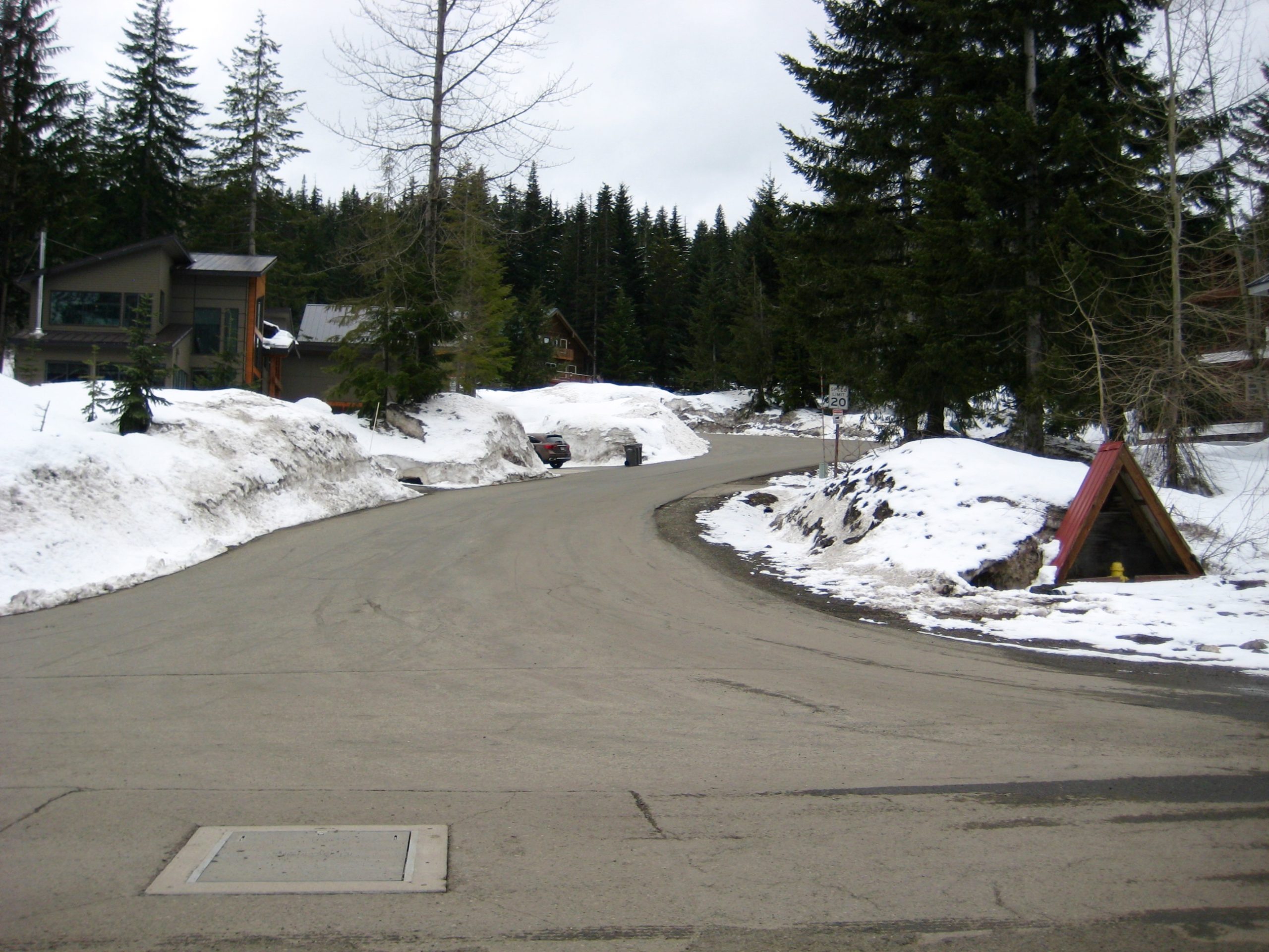
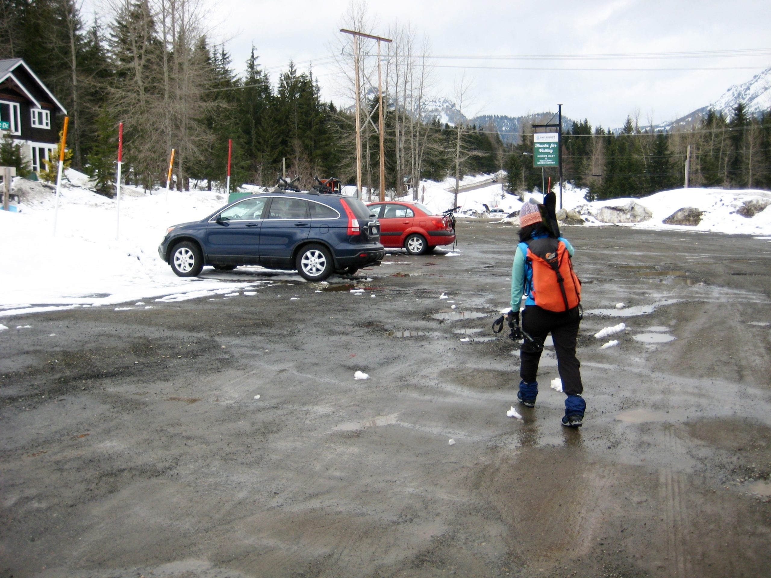
Convenient parking for skiers and snowshoers can be found in the Summit East overflow parking lot (Lot E-2) located near the intersection of Hyak Drive and Snoqualmie Drive. This overflow lot is just north of the main Summit East Ski Area parking lot. No Washington State Sno-Park permit is required here, but starting with the 2025-26 winter season, the ski area has implemented a new parking policy. The good news is that this new policy is less restrictive and less costly than the former policy. The bad news is that it is more convoluted than before. You can read the full official version here, but I will attempt to summarize the key points below.
- Parking costs $15 on every Friday, Saturday, and Sunday throughout the operating season, as well as during Christmas break, MLK Day, and Presidents Day.
- Parking is free on Monday through Thursday throughout the operating season, except for the special days noted above.
- Parking is always free for season-pass holders and lift-ticket holders.
- Parking is always free before the operating season begins and after it ends.
If you must must do the trek on a “fee day” but don’t want to pay for parking, there are a couple reasonable legal options:
- A. Park at the Gold Creek Sno-Park, which is located approximately ¼ mile away on the other side of Interstate-90. This is a decent option if you arrive early, when ample parking is available. Be aware that a Washington State Sno-Park permit is needed here.
- B. Park at the Hyak Sno-Park, which is located approximately ½ mile away on the same side of Interstate-90. Be aware that a Washington State Sno-Park permit and a Special Groomed-Area Sticker are needed here.
.
Route Description
The following route description for this snowshoe trek and ski tour is presented in two parts: (1) from the Hyak parking lot to Hyak Lake, and (2) from Hyak Lake to Surveyors Hill.
Hyak Parking Lot to Hyak Lake
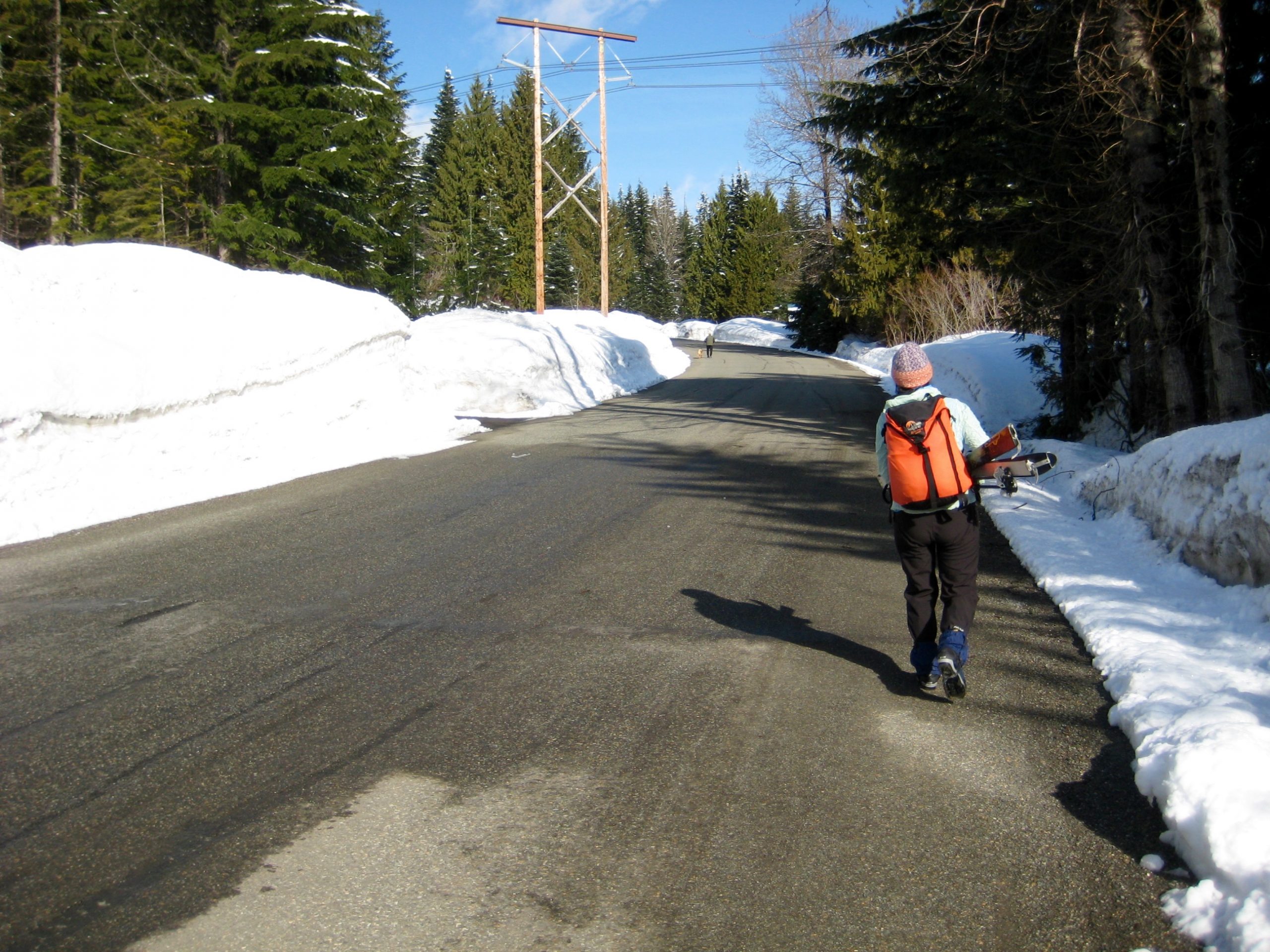
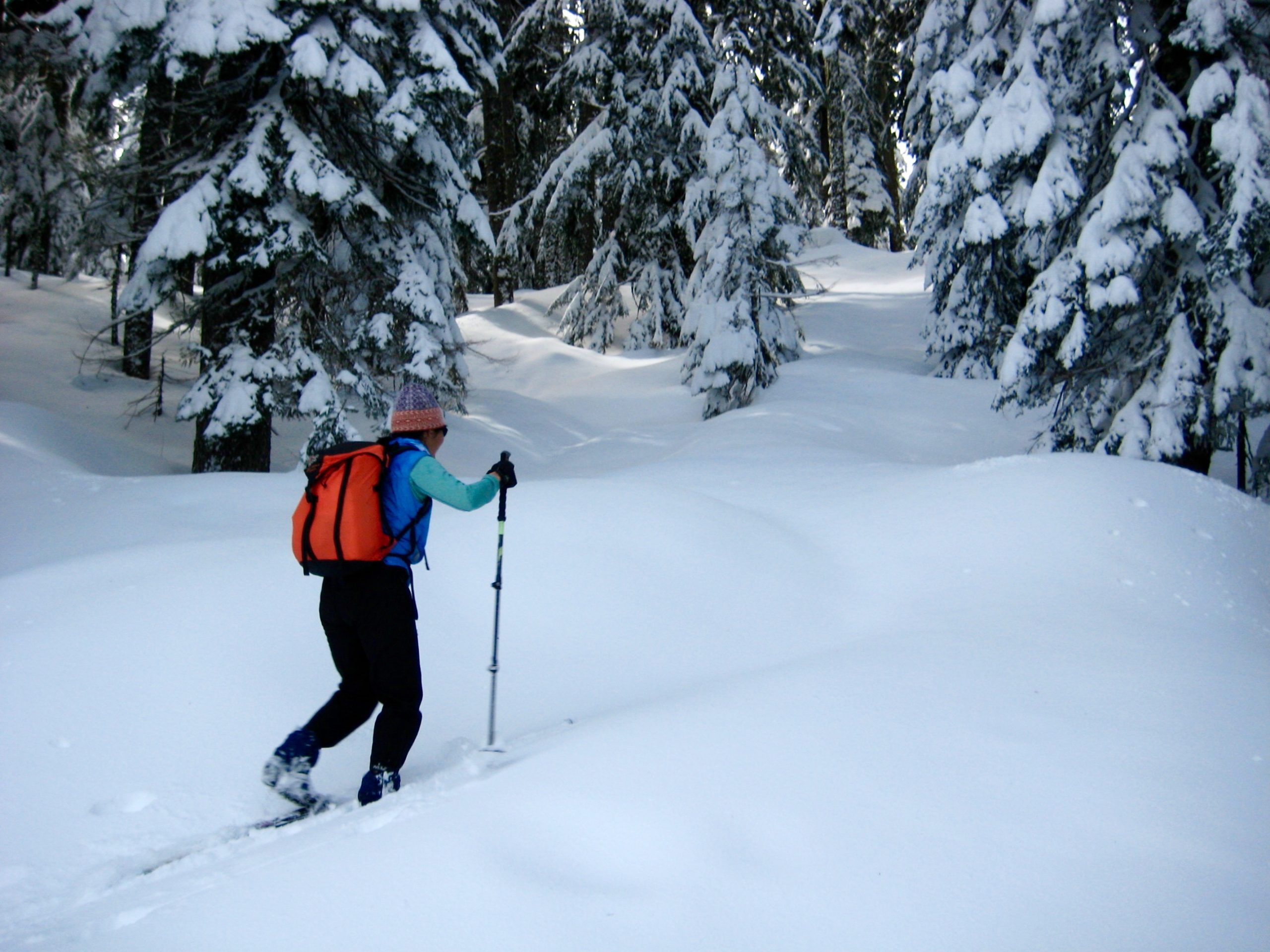
From the intersection of Hyak Drive and Snoqualmie Drive, walk northwesterly up Snoqualmie Drive, staying right at the first fork and left at the second fork. In ¼ mile, where the road makes a tight hairpin turn back to the left, proceed straight ahead by climbing onto the snowbank. The Nordic Pass Trail officially begins at this point. This delightful “trail” was established by a small group of volunteers in the late 1980s to provide skiers and snowshoers with a quasi-wilderness route tucked between the Summit Central and Summit East Ski Areas. Its creation was approved by the U.S. Forest Service, thereby ensuring long-term public access.
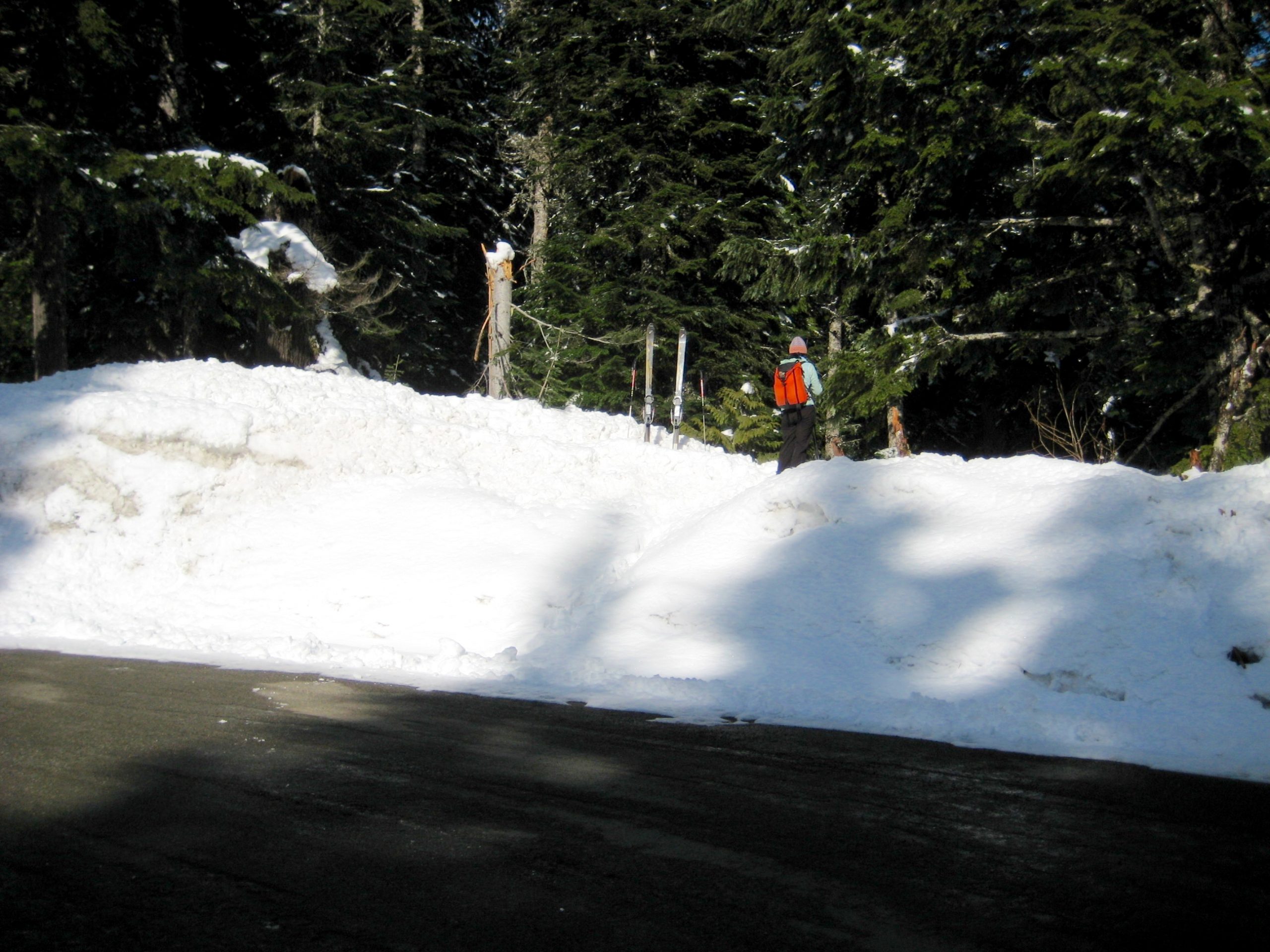
.
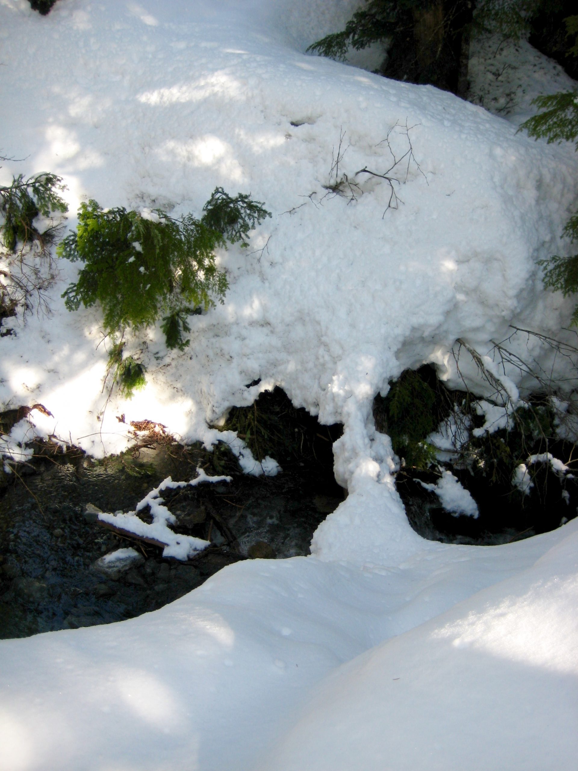
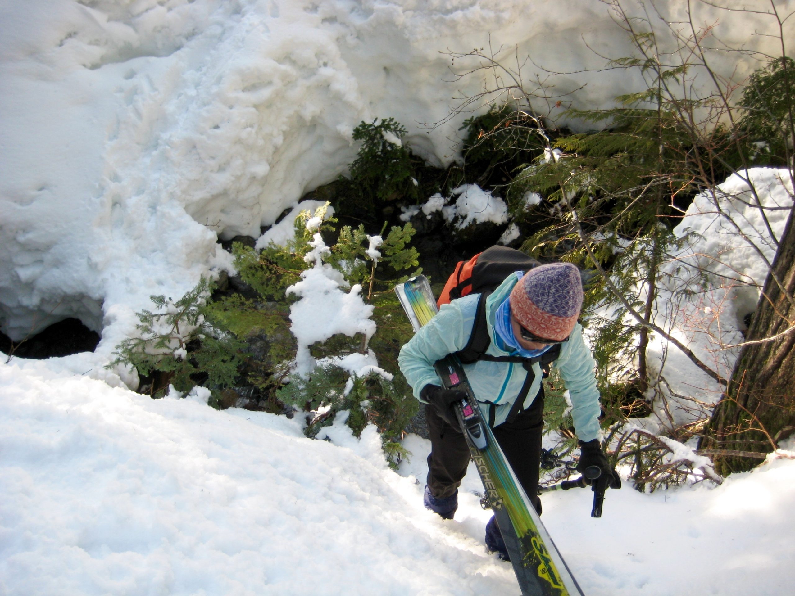
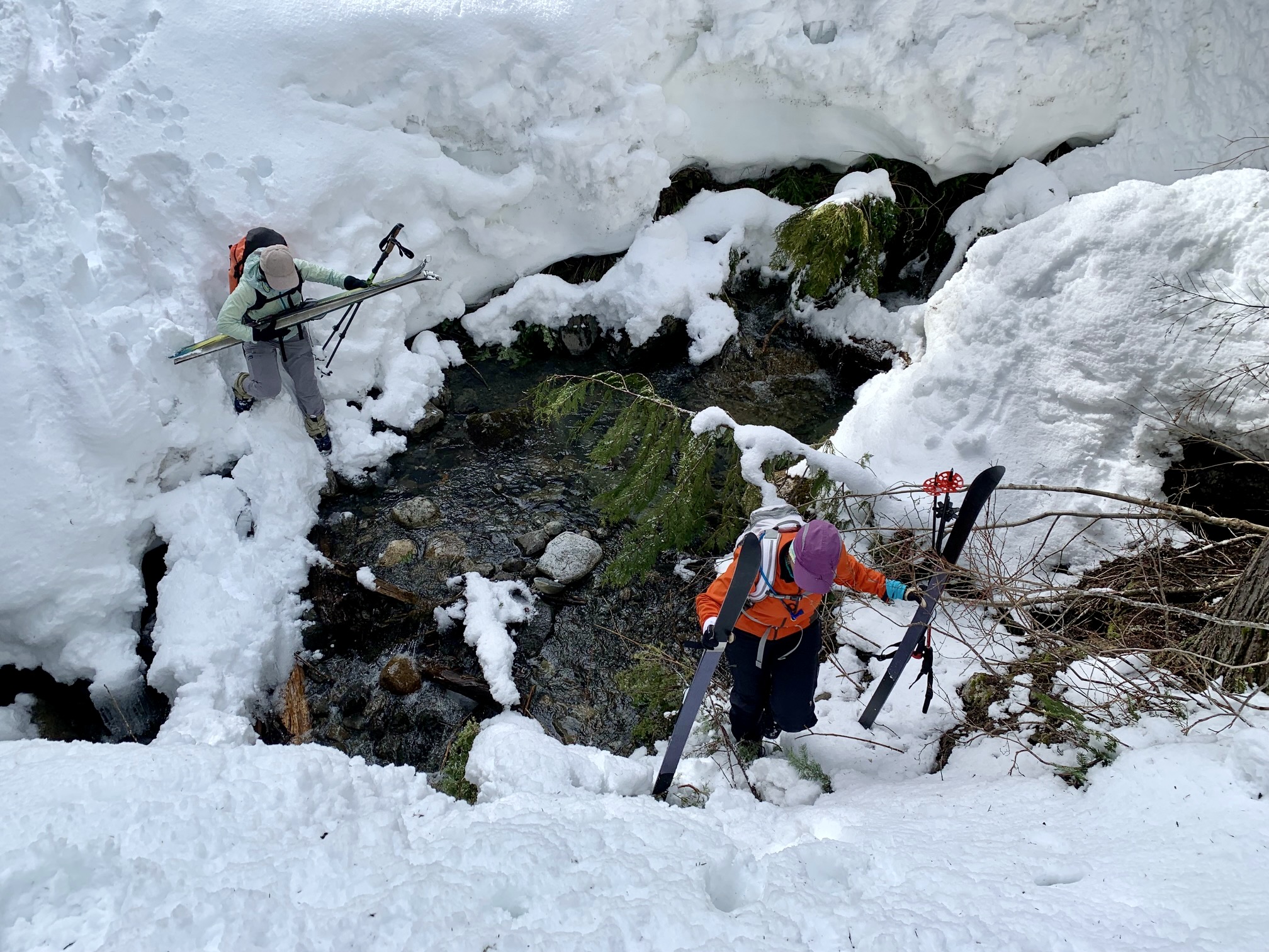
On the opposite side of the snowbank, you will see Little Hyak Creek flowing through a narrow channel. The depth of this channel depends on the snowpack thickness, but the crossing can be a bit tricky under any conditions. Look around for a log or rocks to use, then carefully drop into the channel and climb back up the other side. Most years, this represents the most technically difficult part of the entire trek!
.
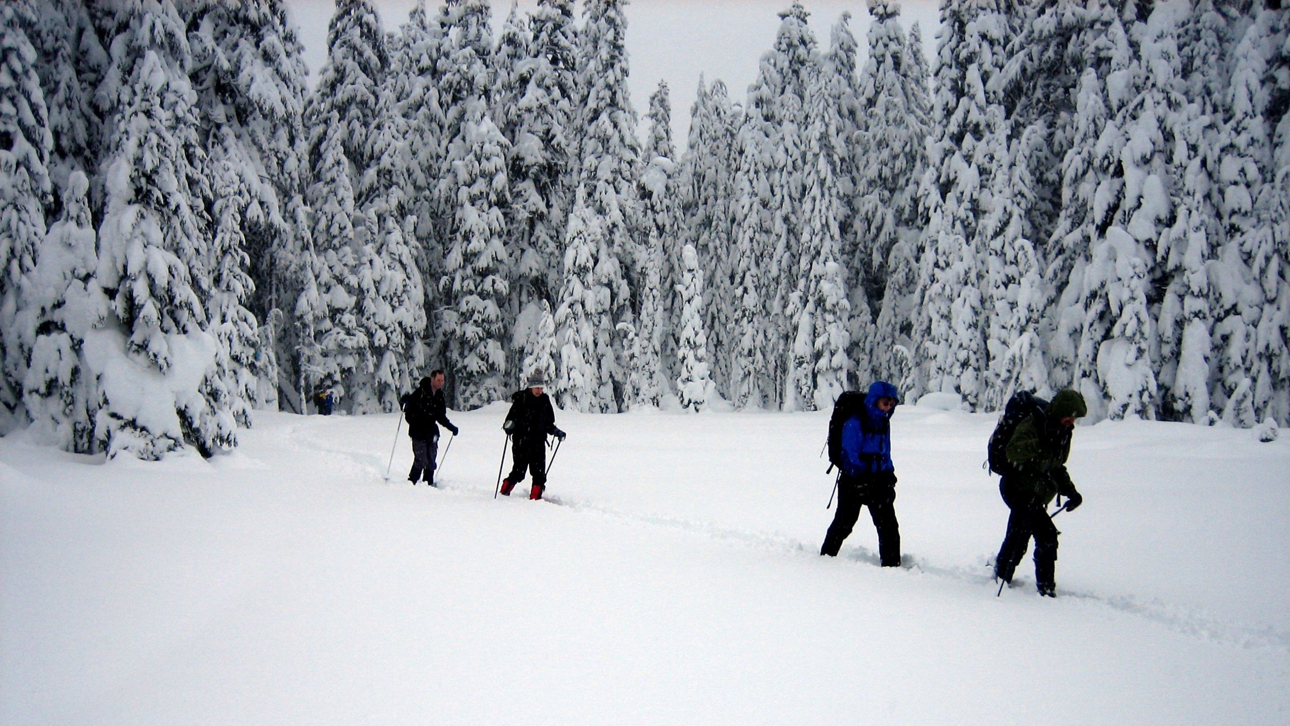
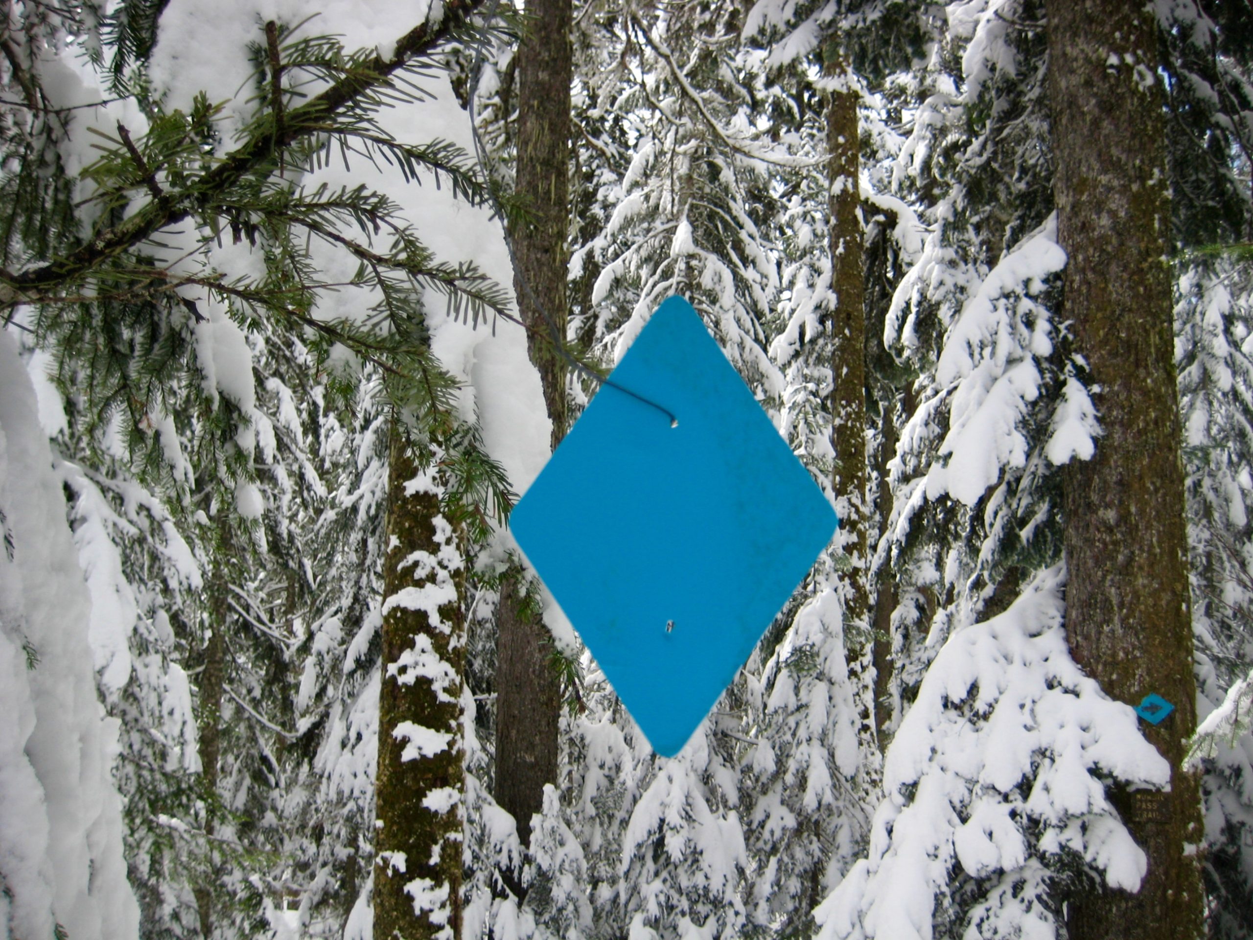
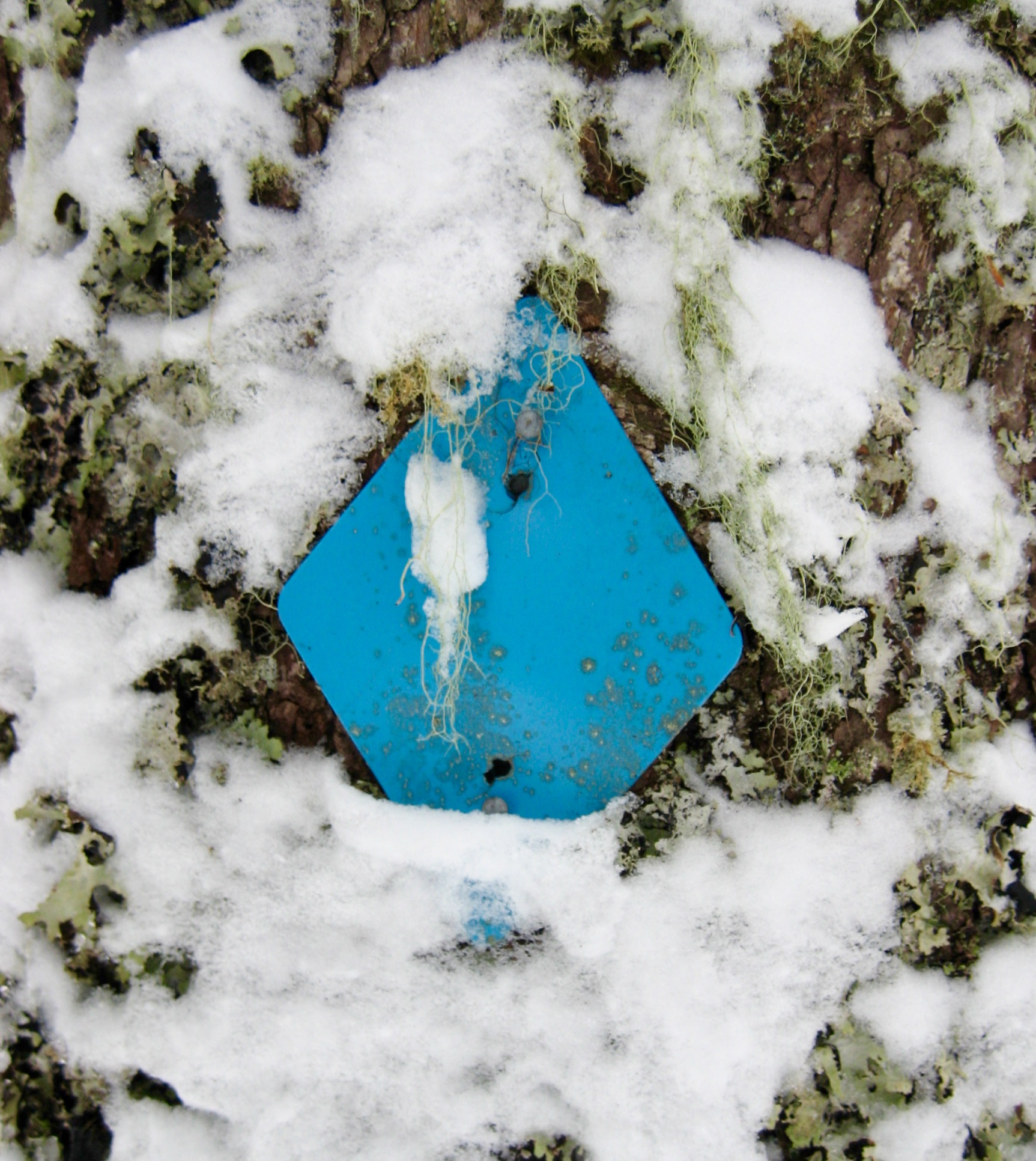
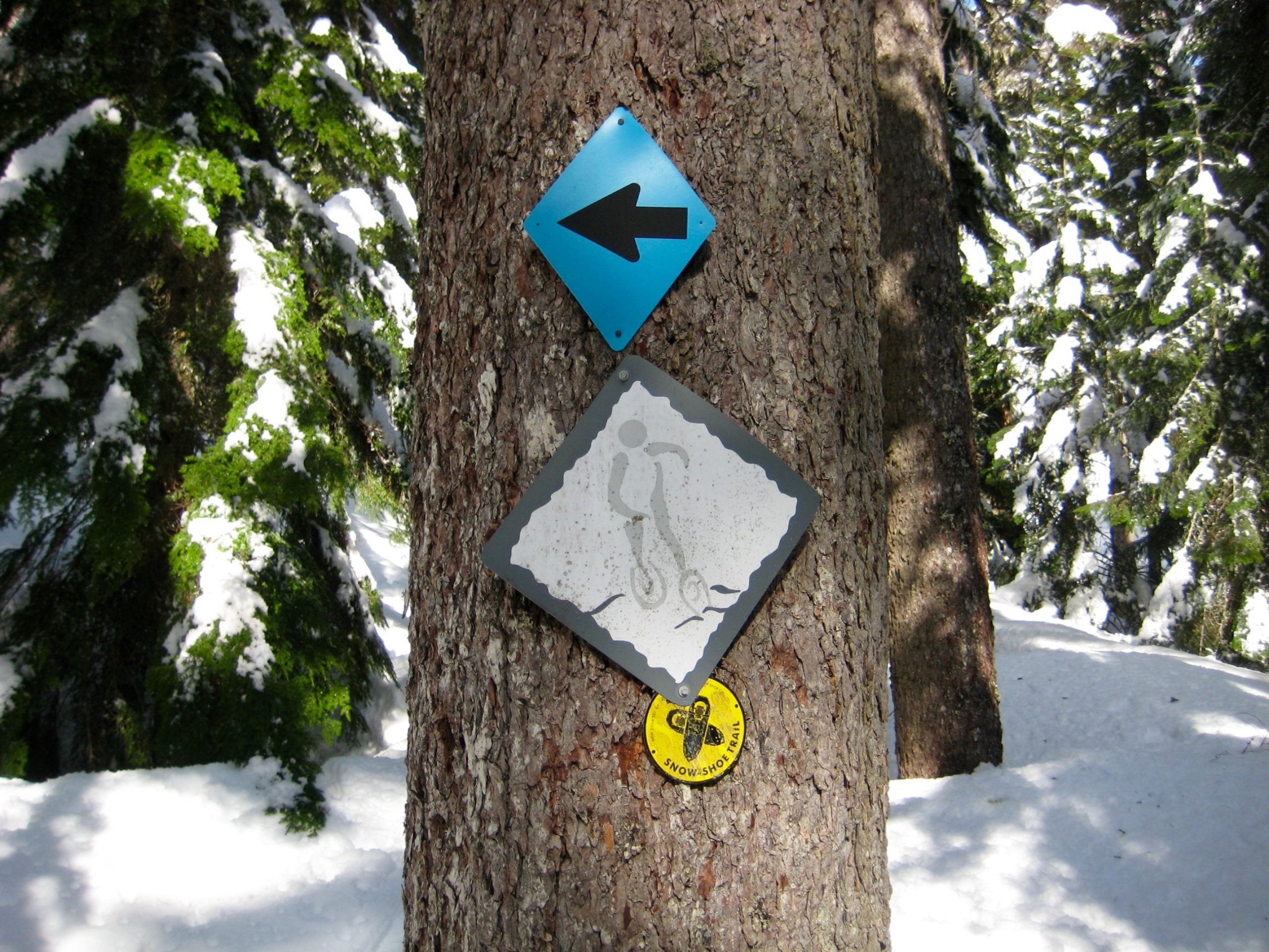
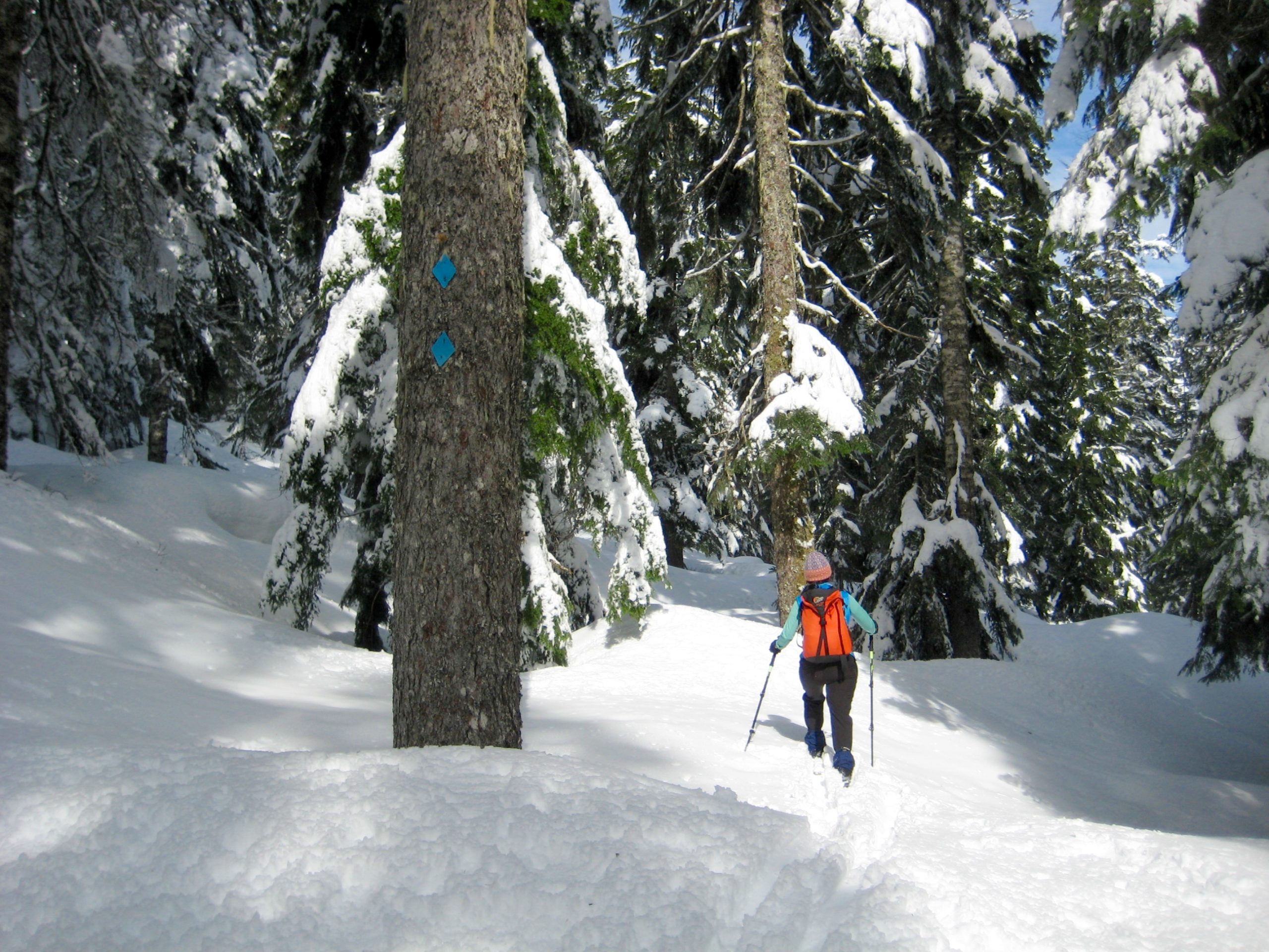
Once across Little Hyak Creek, proceed through the forest in a northwesterly direction. Stay in open areas as best as possible, and keep hunting for blue diamonds attached to tree trunks at sporadic intervals. These diamonds can be particularly difficult to see when the trees are coated with fresh snow. Happy hunting!
.
After several hundred yards, look for directional diamonds guiding you to the left and into a long, narrow corridor through the trees. This corridor is actually part of an old railroad grade, used by trains travelling over Snoqualmie Pass before the historic railroad tunnel was built. Turn right and follow the corridor for about 75 yards, then look closely for blue diamonds directing you off to the left.
.
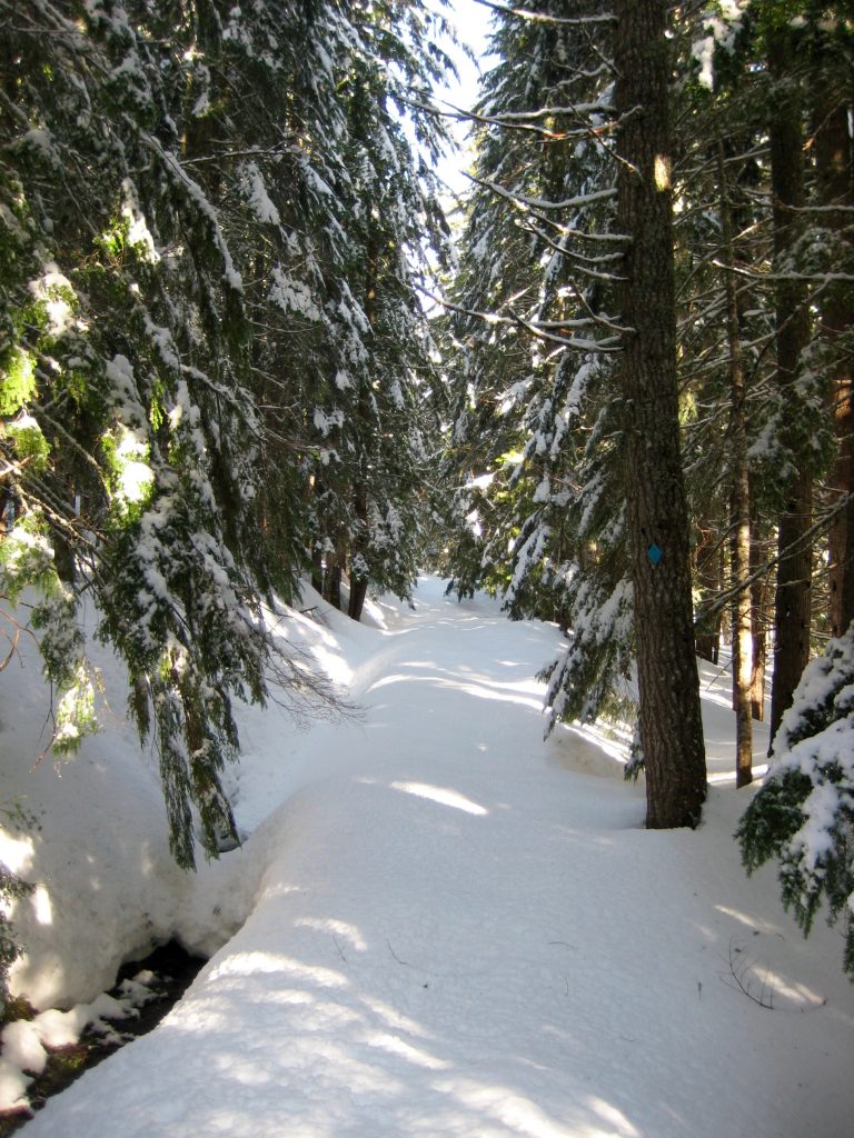
After leaving the old railroad grade, zig-zag up through the forest in a generally westward direction. Soon, you will come to a narrow road (usually grooomed). This is the Lower Crossover ski trail that connects Summit East with Silver Fir Outpost. Look for blue diamonds across the road and keep going.
.
Continue working up through the forest, passing numerous small glades and “meadow holes,” still heading in a westward direction. Eventually, you will reach Hyak Creek, which flows through a deep ravine. Proceed upward a short distance, parallel to the creek, until you arrive at a tree with several different kinds of trail markers. The Silver Fir Trail (marked with yellow circles) goes straight ahead and stays near Hyak Creek, whereas the Nordic Pass Trail (always marked with blue diamonds) turns sharply to the left.

.
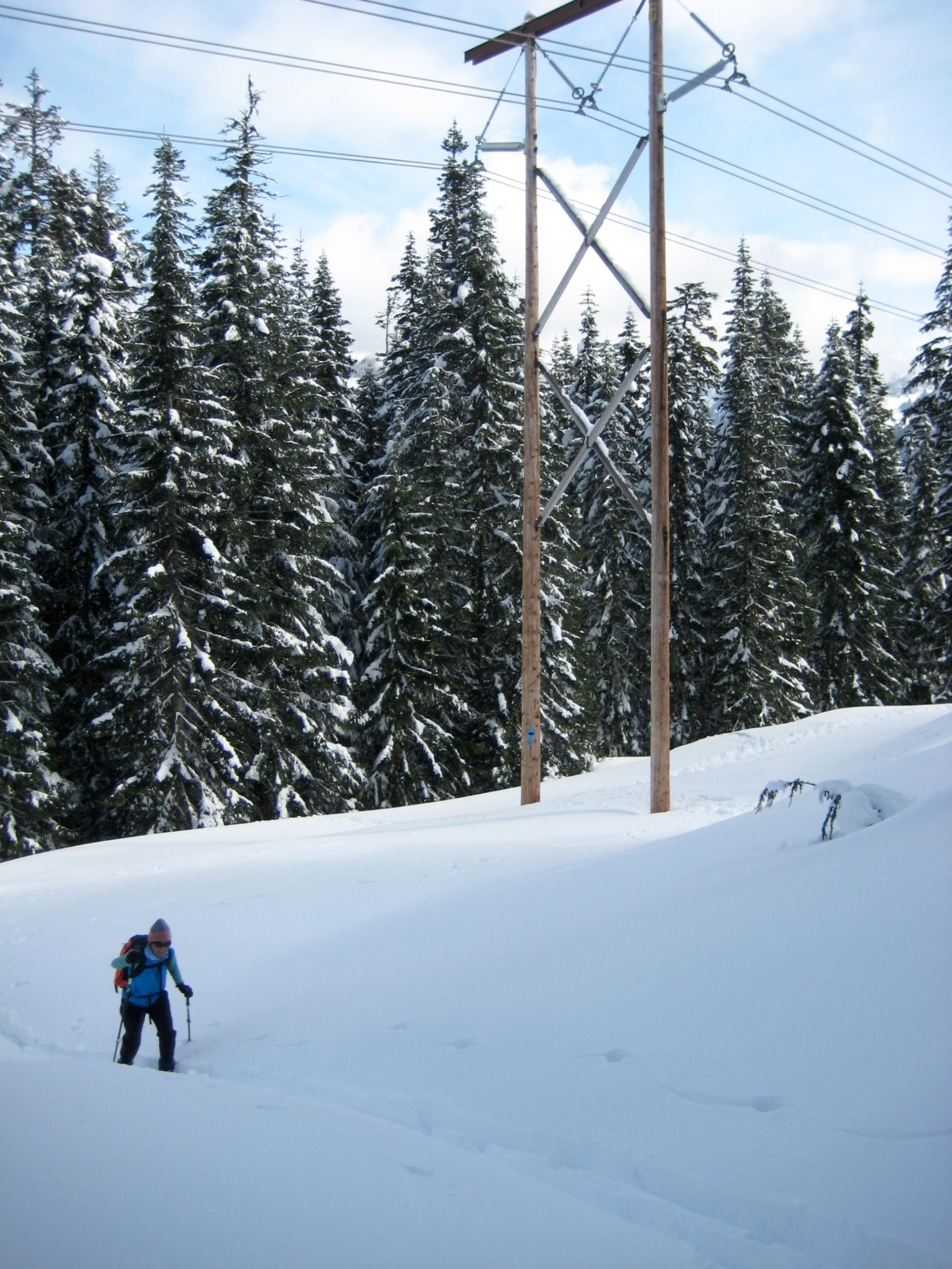
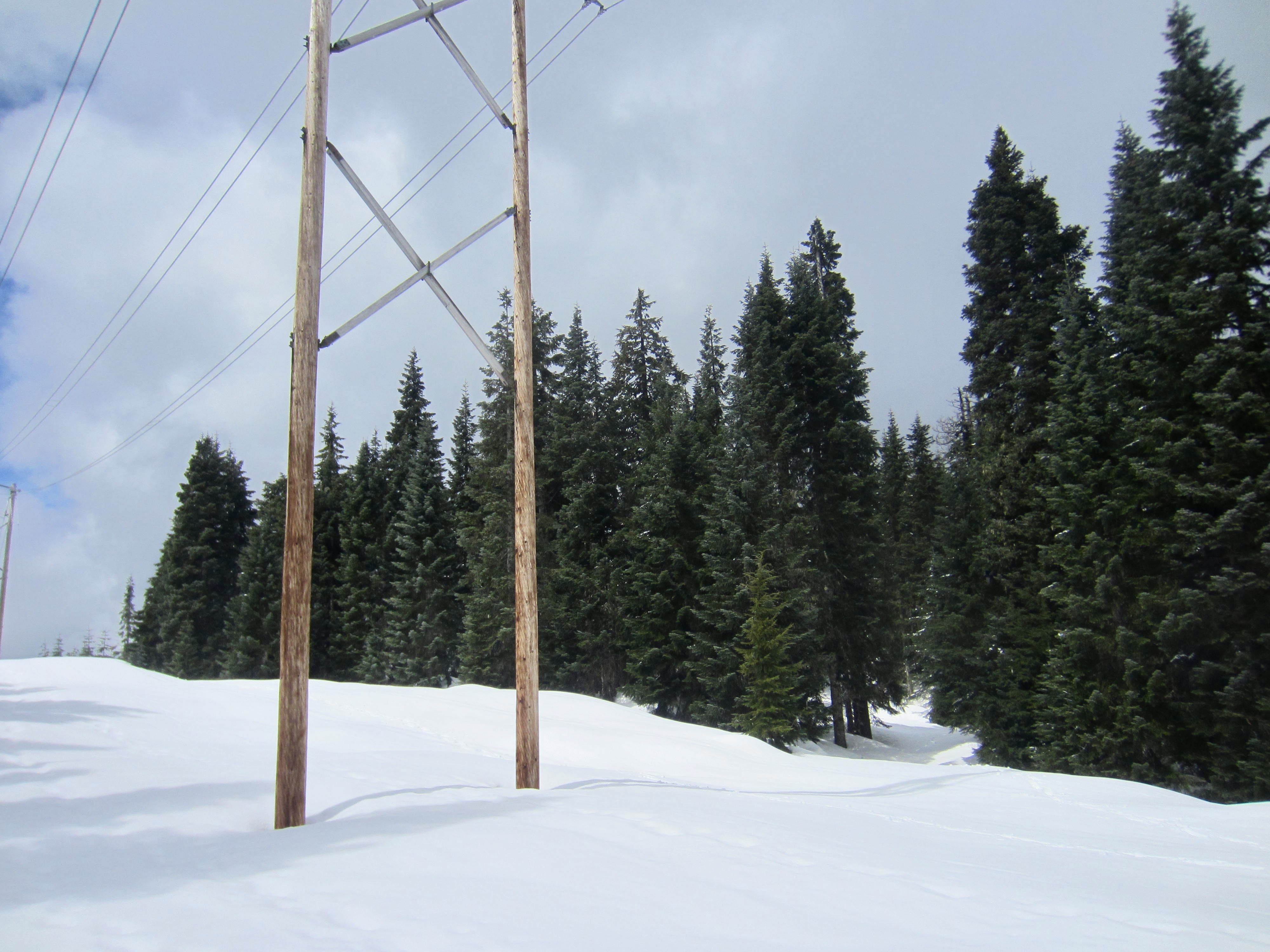
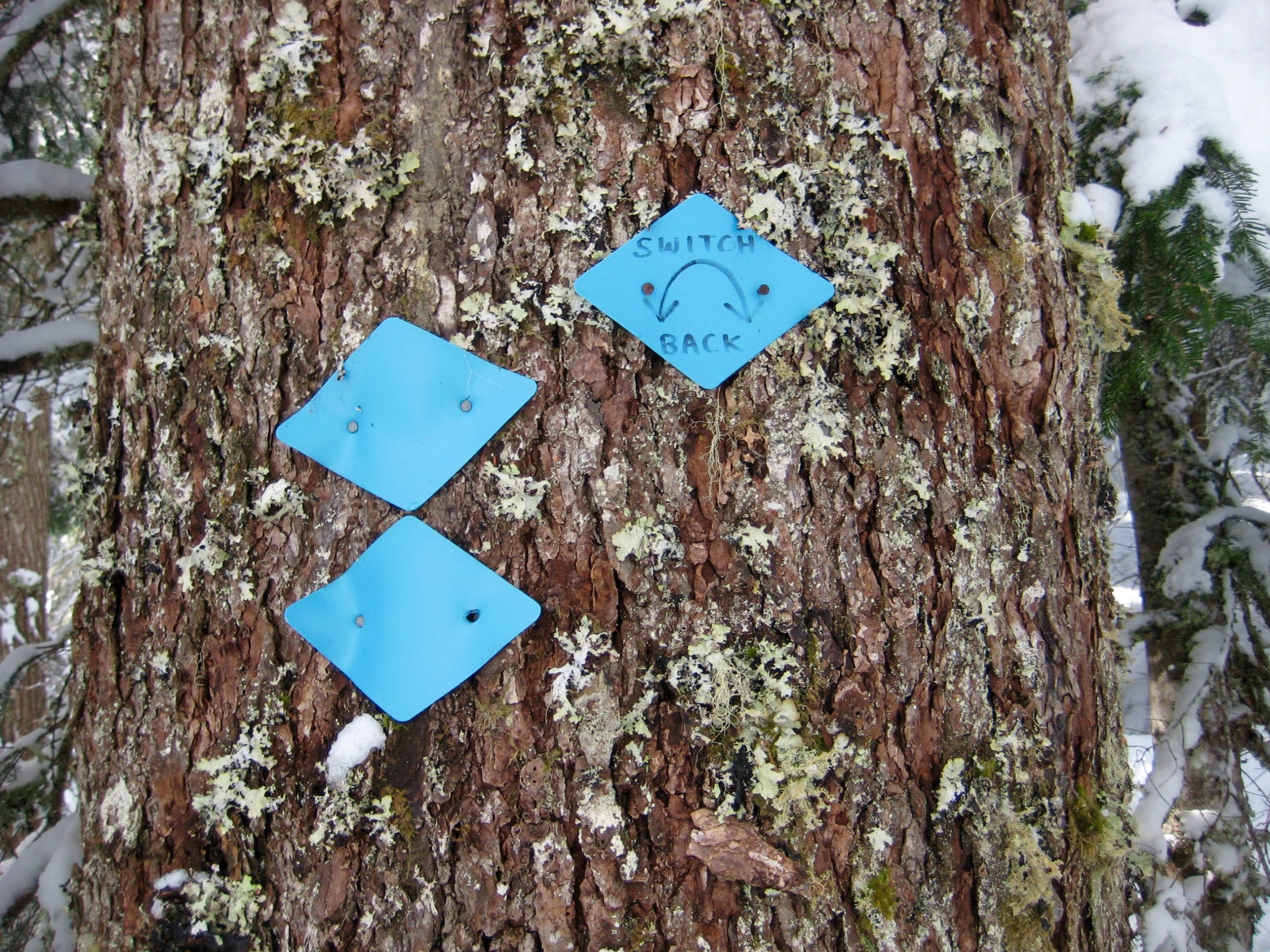
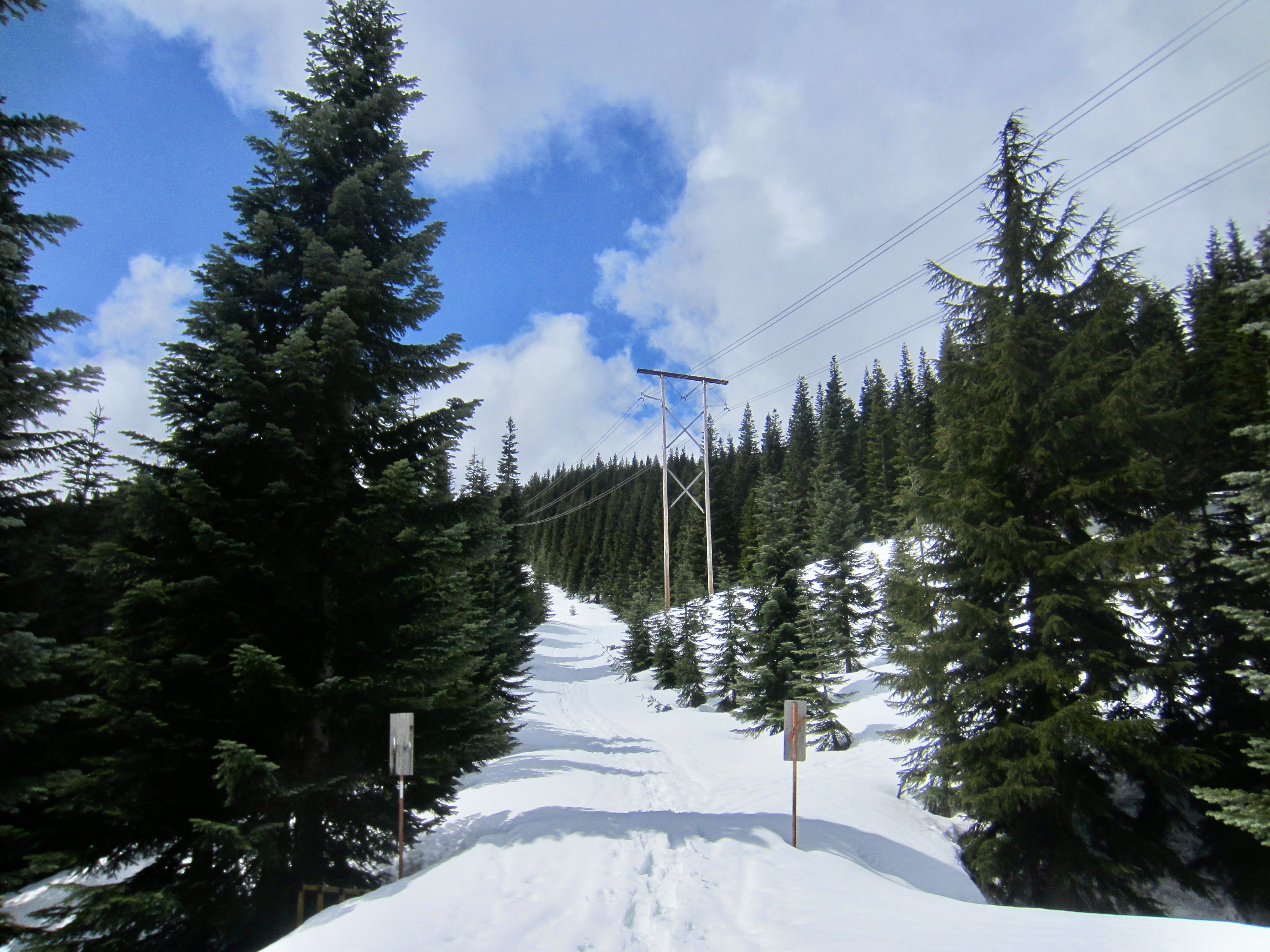
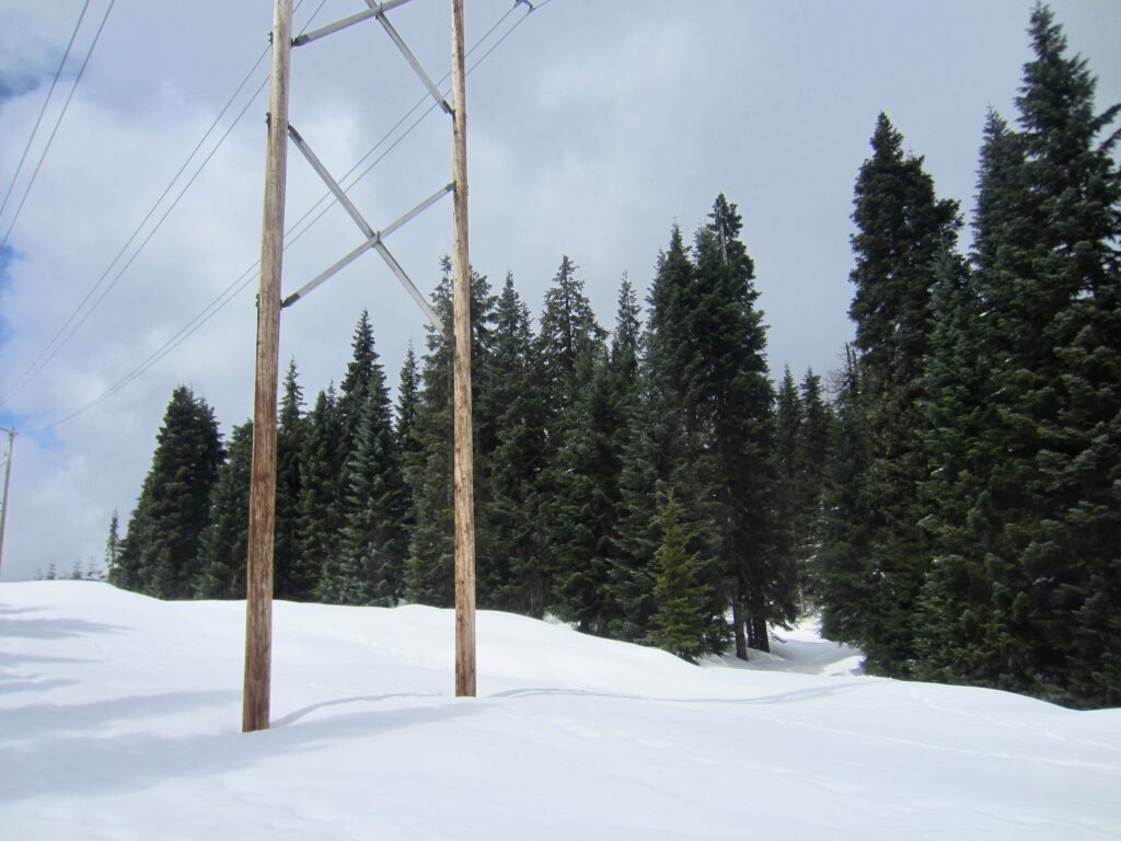
Blue diamonds will lead you on a long traverse to the south, past a huge hemlock tree. Upon encountering a switchback, designated by two or three blue diamonds placed sideways, turn right and make a long, gently rising traverse back to the west. Just before reaching Hyak Creek again, a short, steep ascent takes you up to the InterSummit-90 ski trail, which runs along a row of wooden powerline poles.
.

.
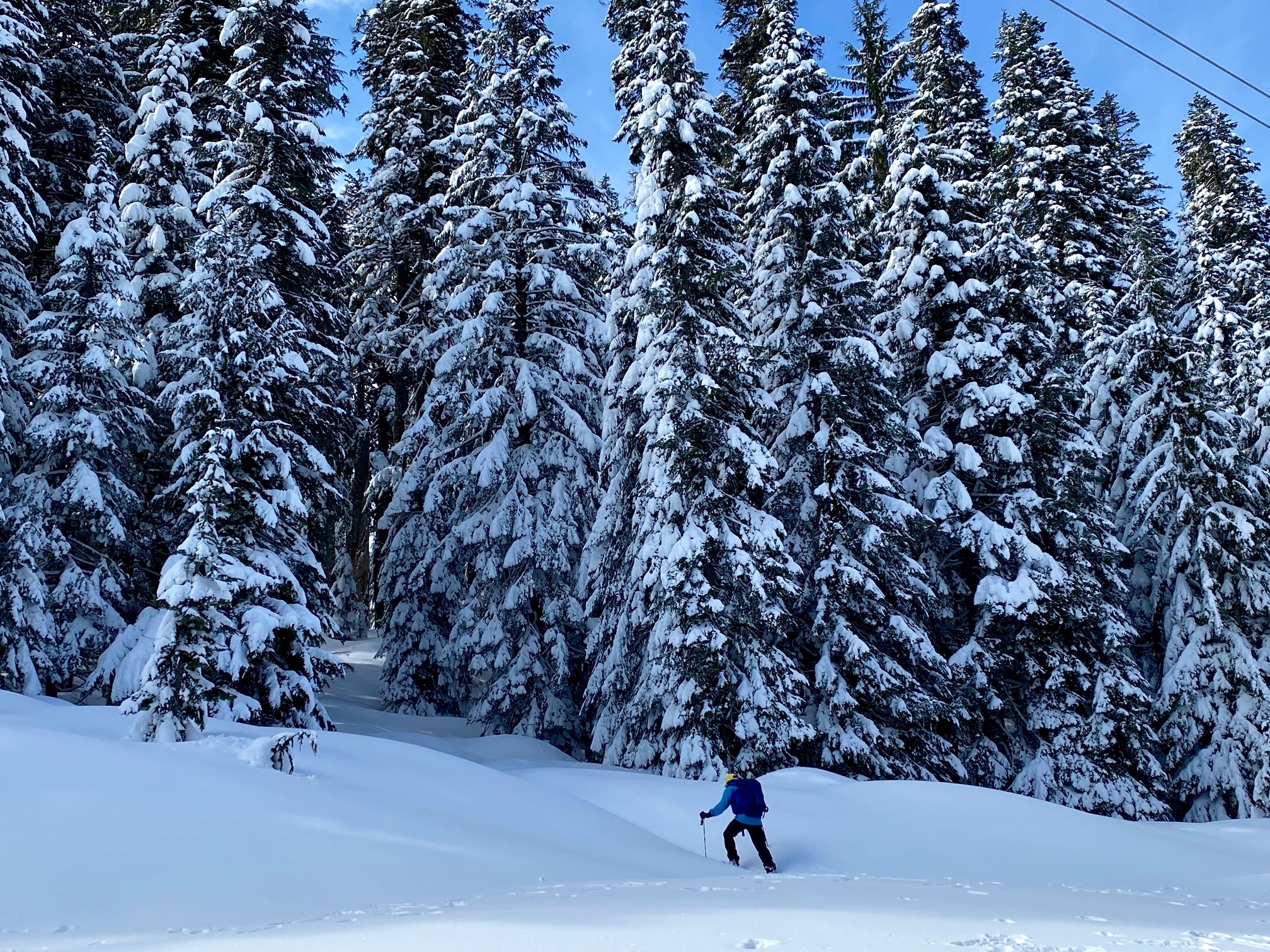
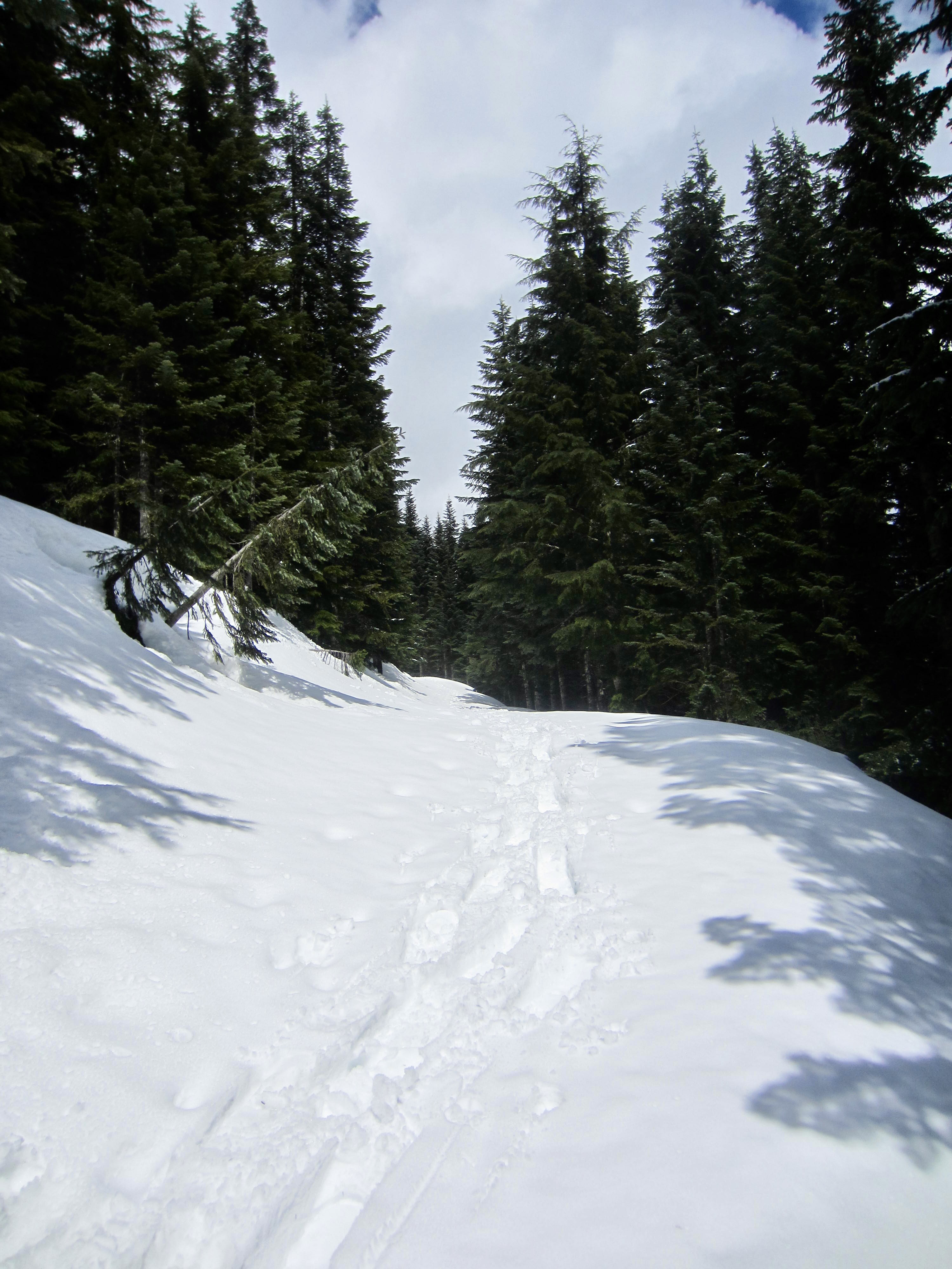
Cross diagonally to the right under the powerlines and look for a short passageway leading into dense forest. Go up through the passageway, making one switchback to the left, then continue southwesterly through milder terrain until arriving at a large clearing.
.
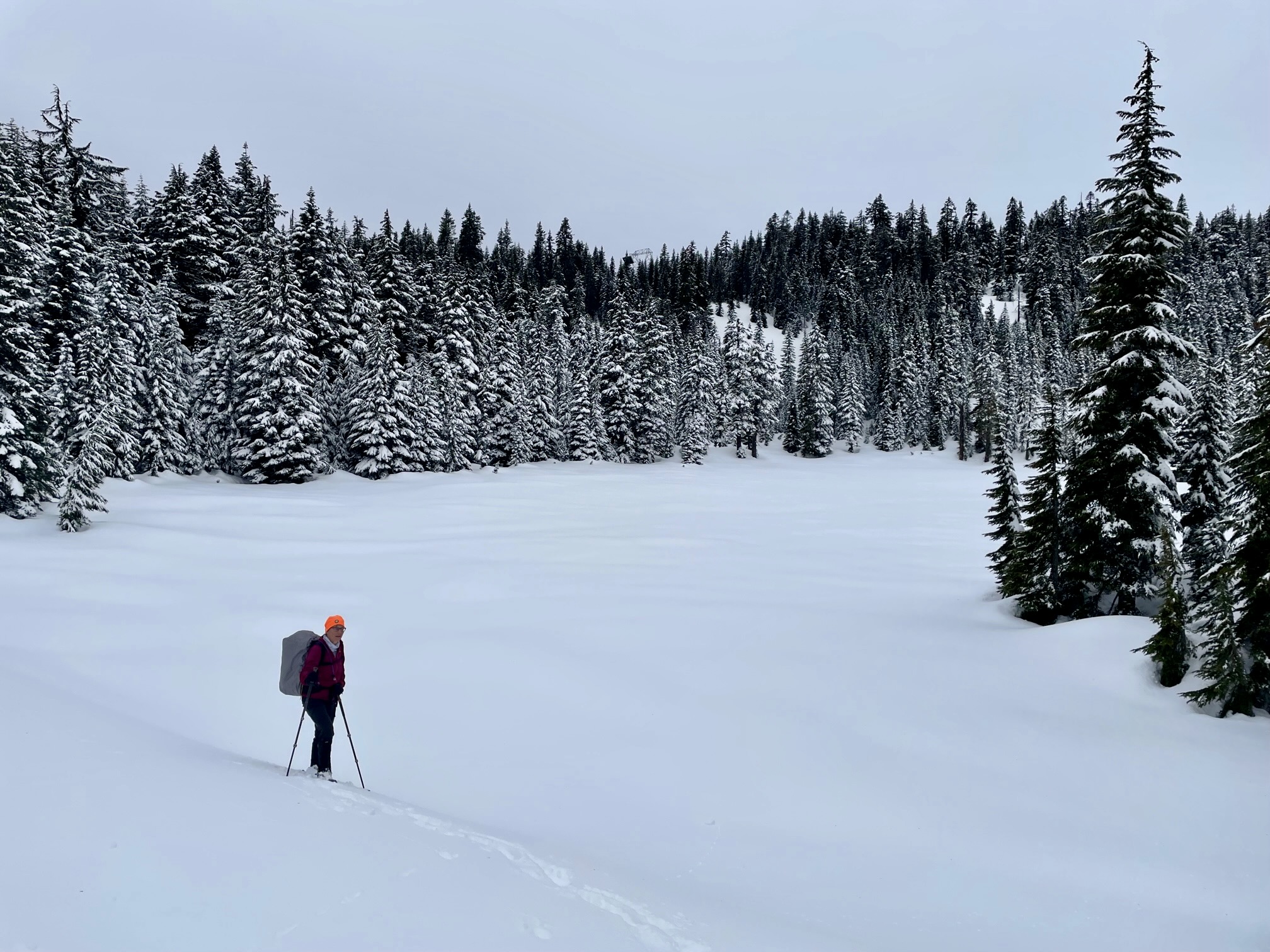
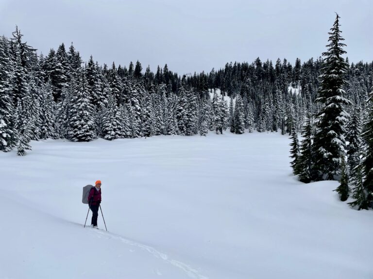
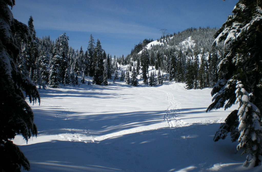
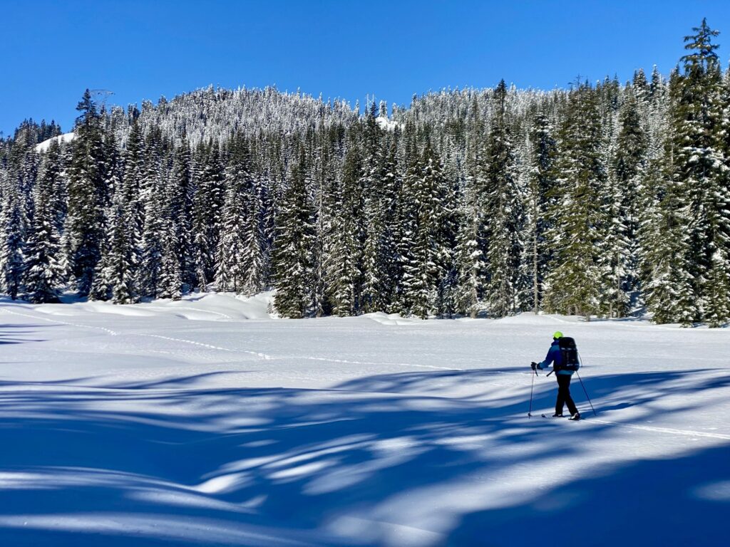
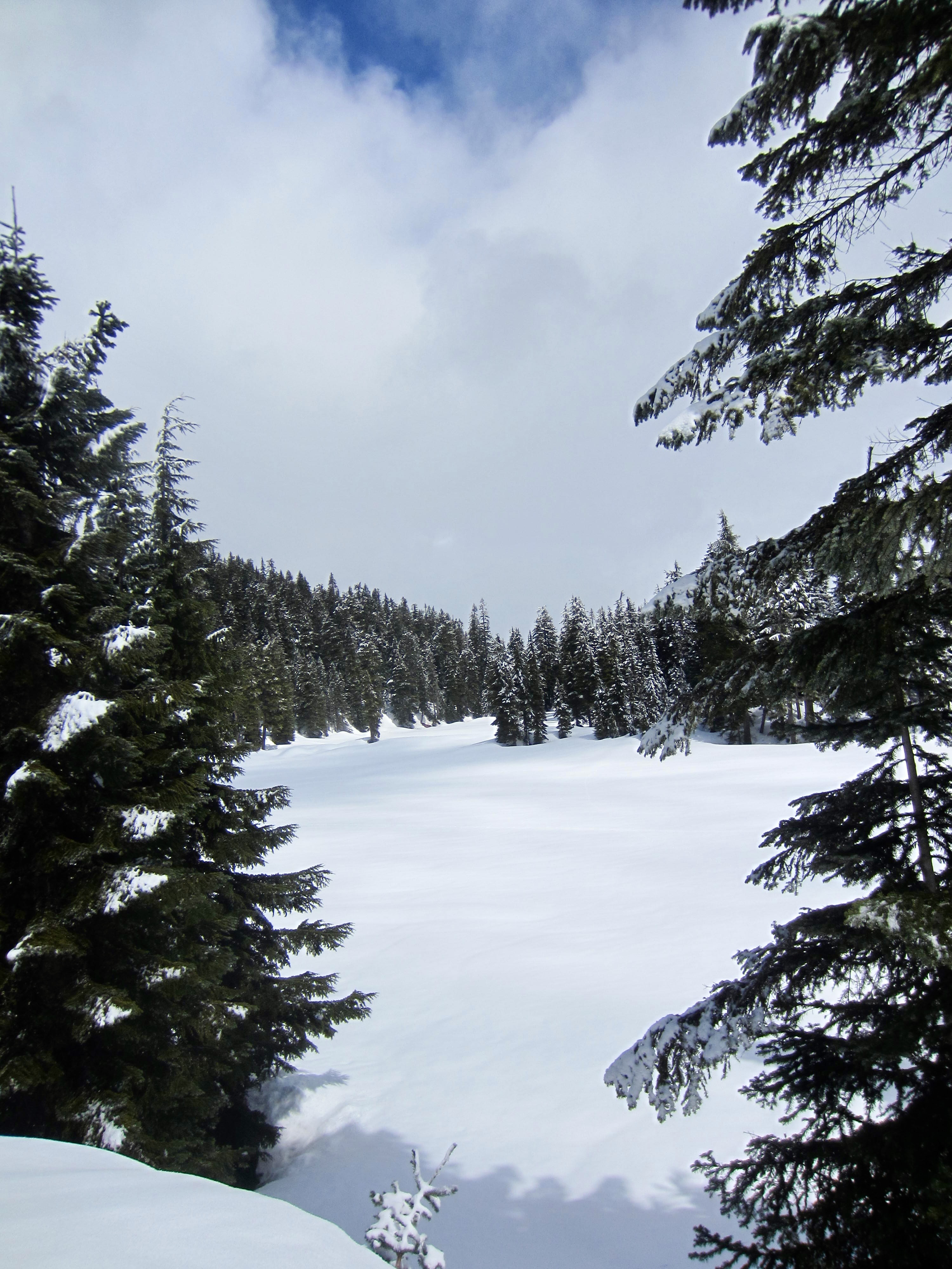
By skirting the right-hand edge of the large clearing, you will come upon Hyak Lake, which really just looks like an even-larger clearing. You are now slightly more than halfway to Surveyors Hill, so this is a good chance to assess your progress.

.
.
.
Hyak Lake to Surveyors Hill
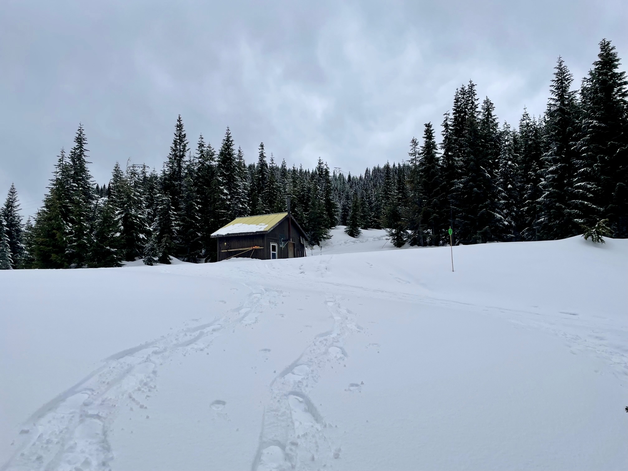
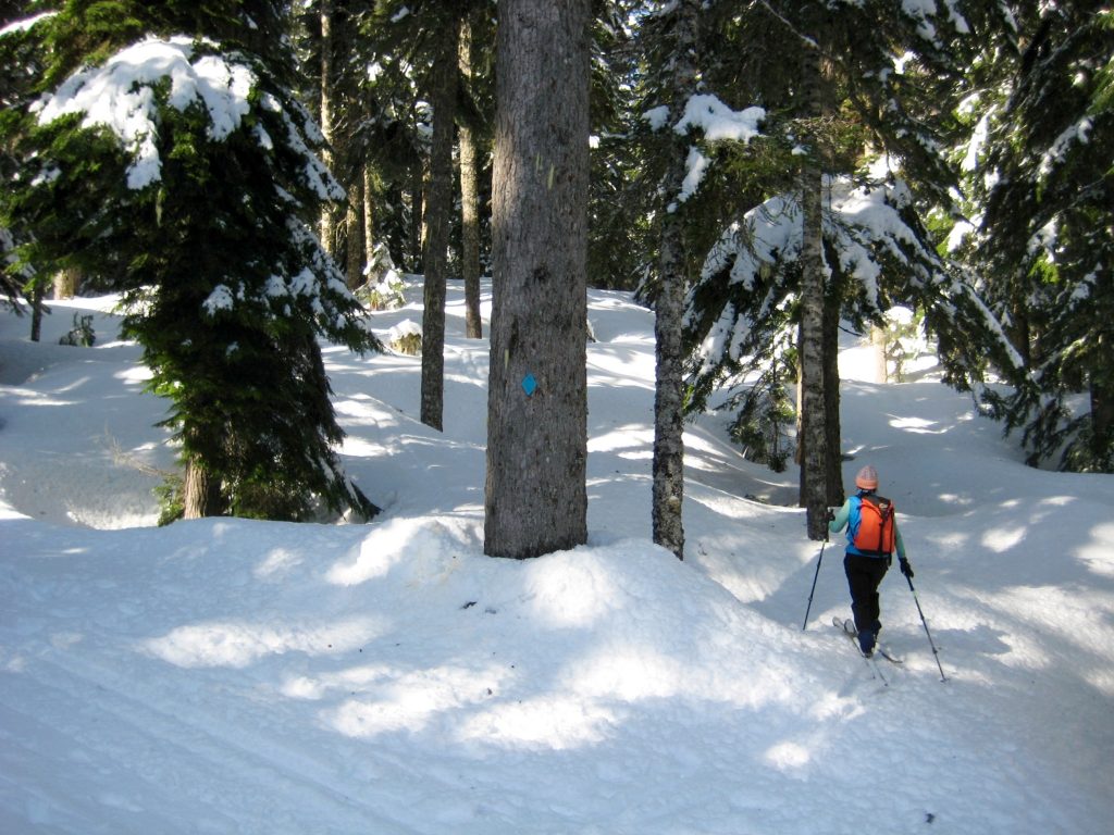
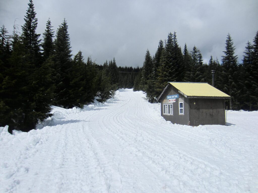
At Hyak Lake, the route to Surveyors Hill diverges from the NPT. Head due west across the lake surface to the far shore, then veer slightly left up a shallow draw. This draw extends upward for 200 yards to the flats of Grand Junction, which forms the hub of numerous radiating ski trails. A warming hut here provides a nice refuge on a stormy day.

.
.
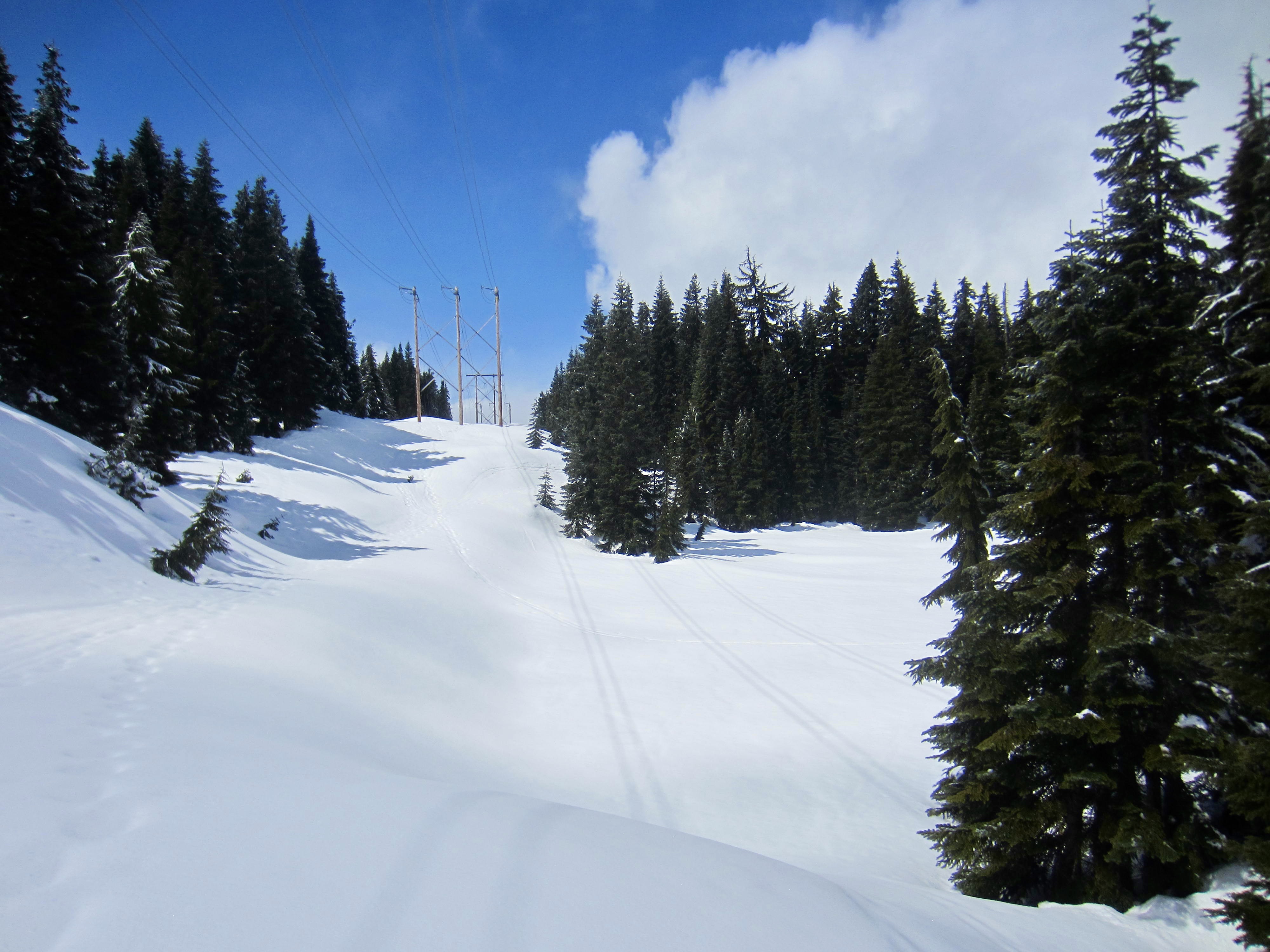
From Grand Junction, proceed uphill in a northwesterly direction on a wide cat road. Go right at the first road fork, then go left at the second road fork, heading toward a wooden powerline support. Continue up this narrow road as it swings back and forth across the powerline swath. A final right-hand turn brings you to the southern tip of Surveyors Lake, directly underneath the powerlines.
.
Looking due west along the powerline swath, you will see three sets of powerline supports. Ascend the swath to reach the middle set, which comprises two wooden poles. Now, look for an obvious corridor through the forest off to your right.
.
.
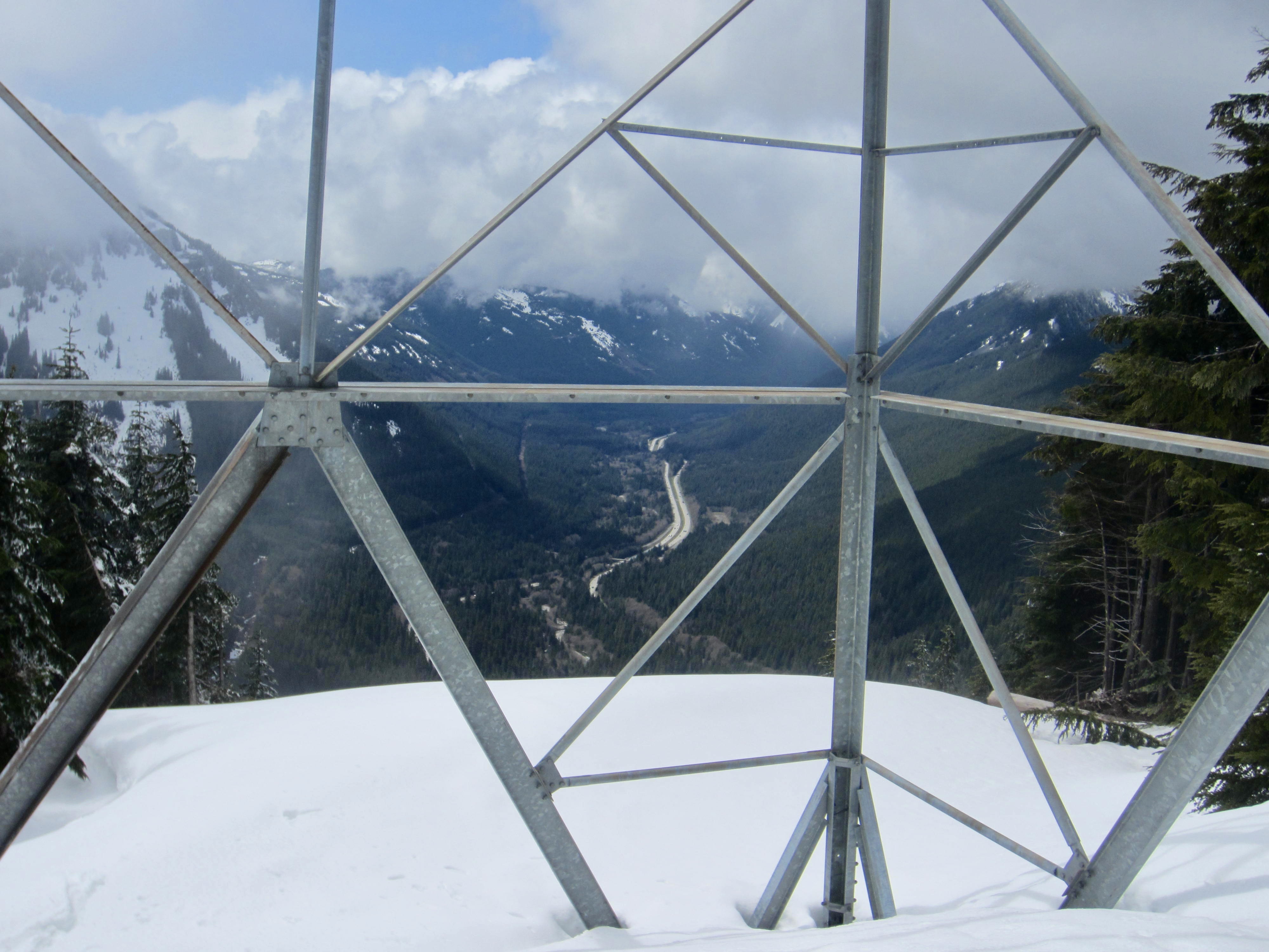
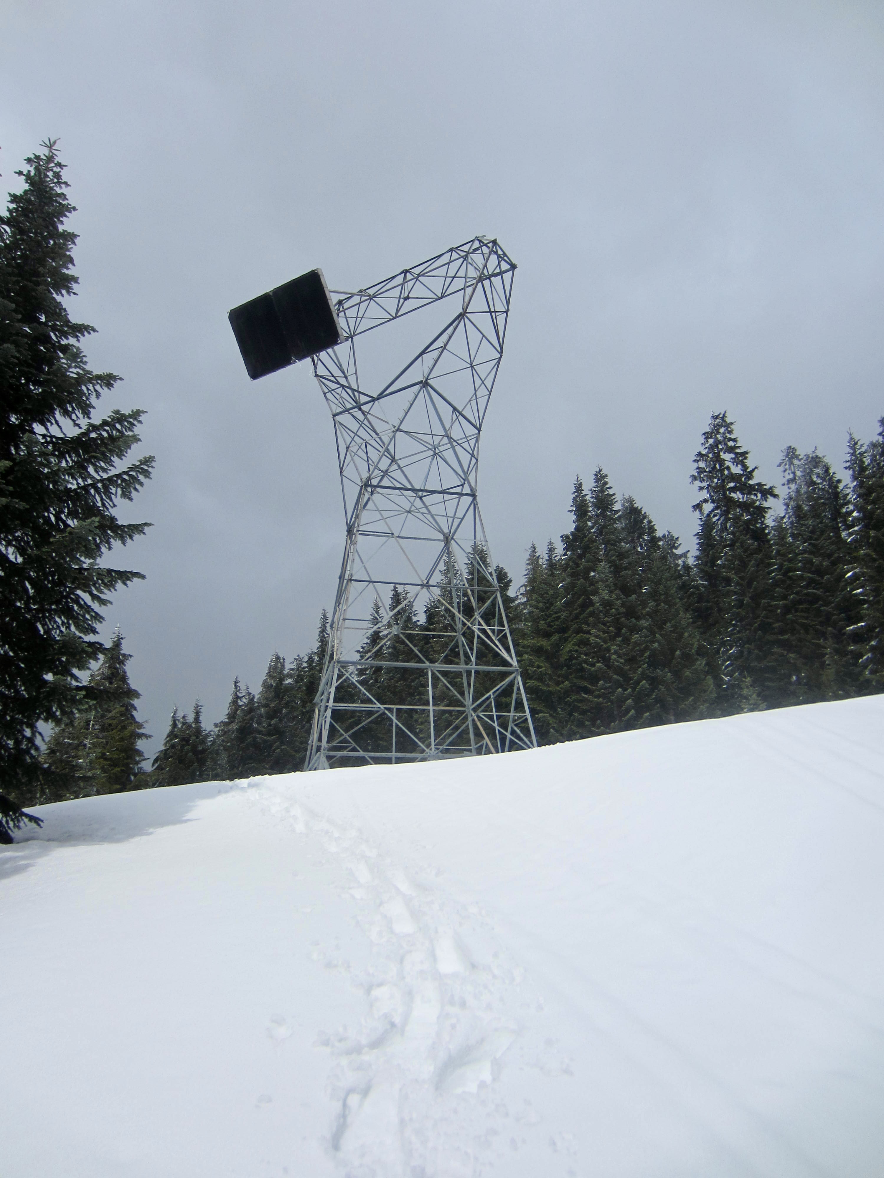
Follow the corridor, which is actually an old access road, northward up to a stubby steel lattice tower perched at the edge of a cliff. Take a moment to look over the edge for an unusual and dramatic view of Interstate-90 in the Snoqualmie River Valley far below.
.

.
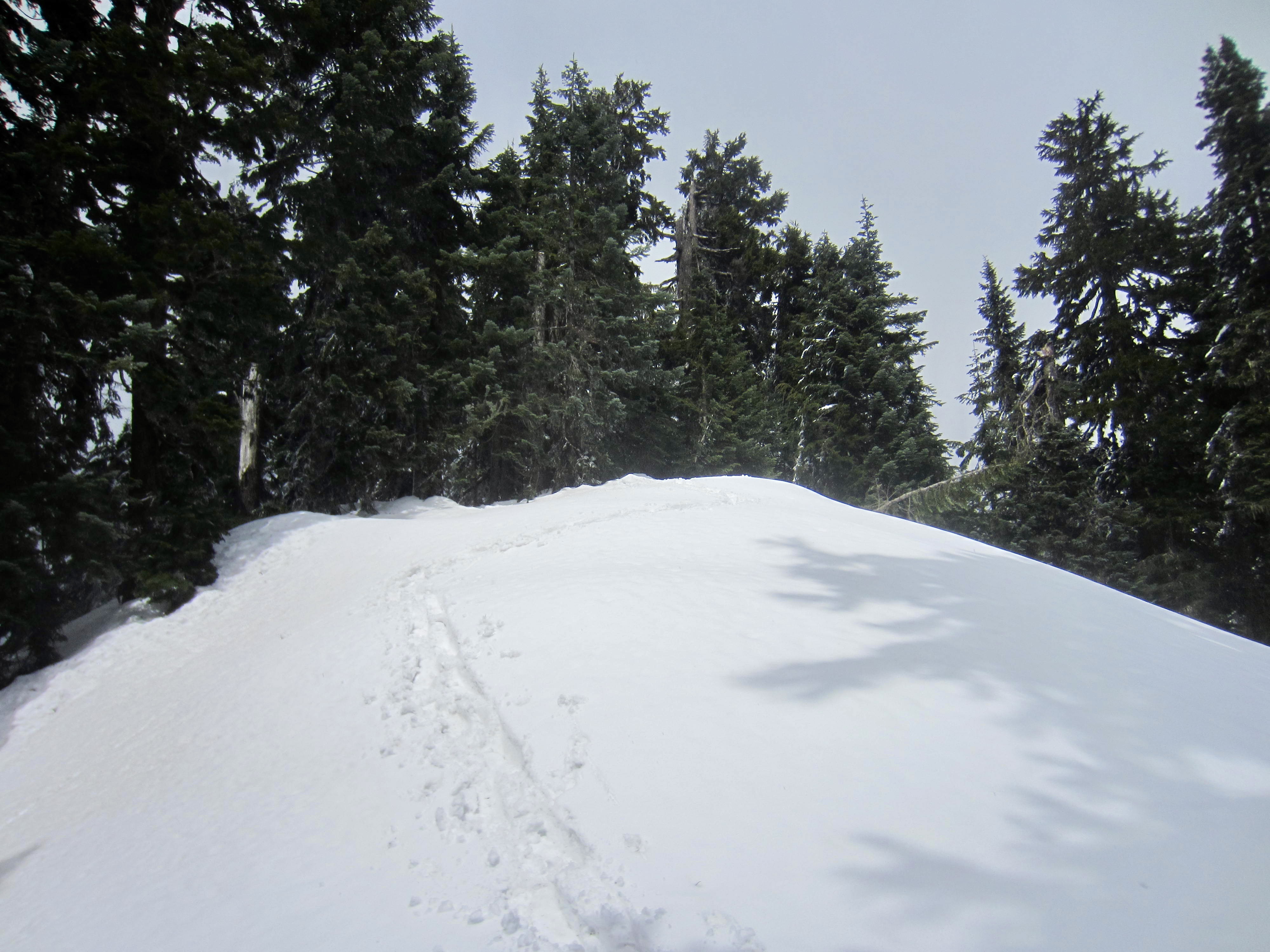
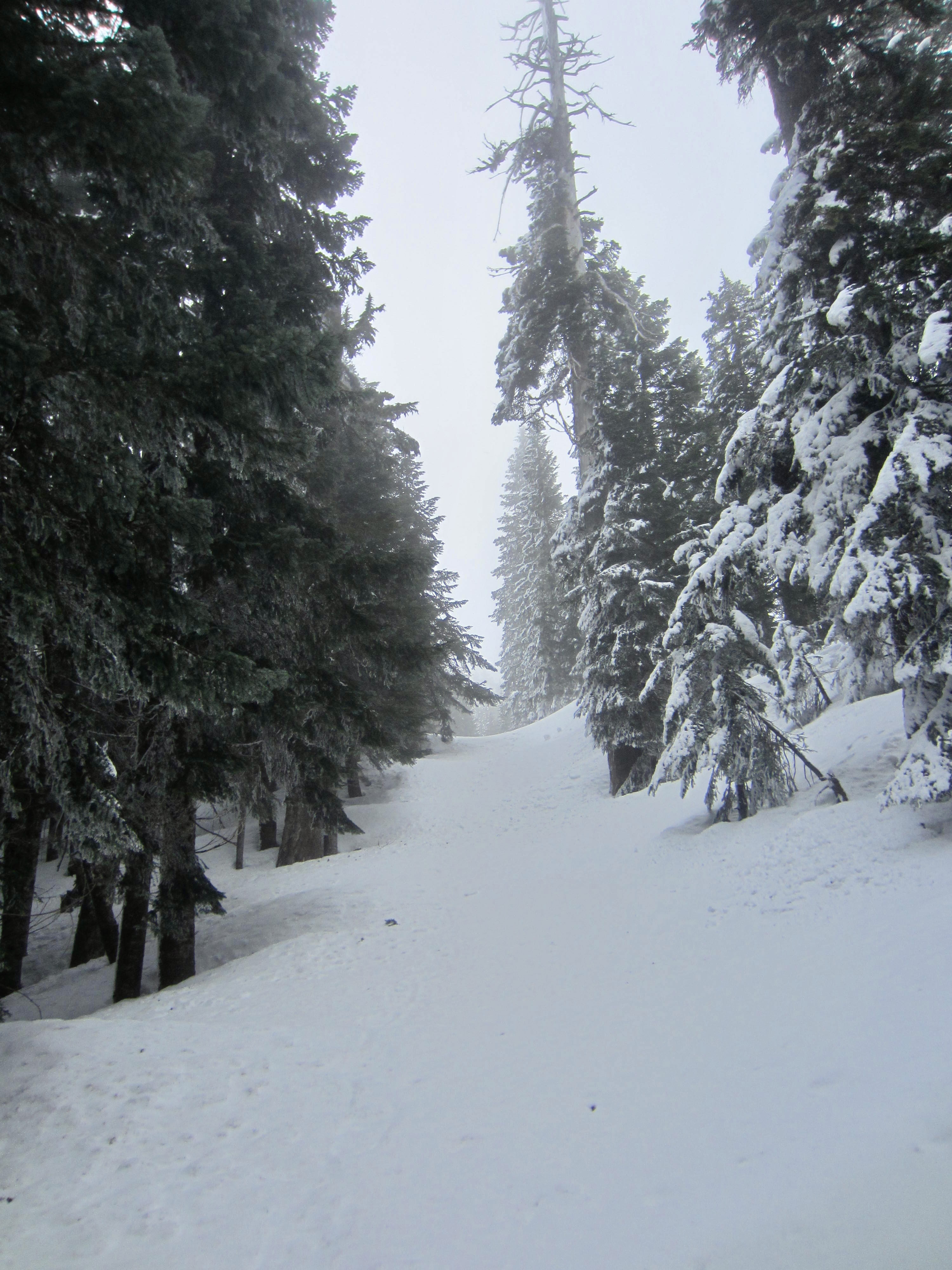
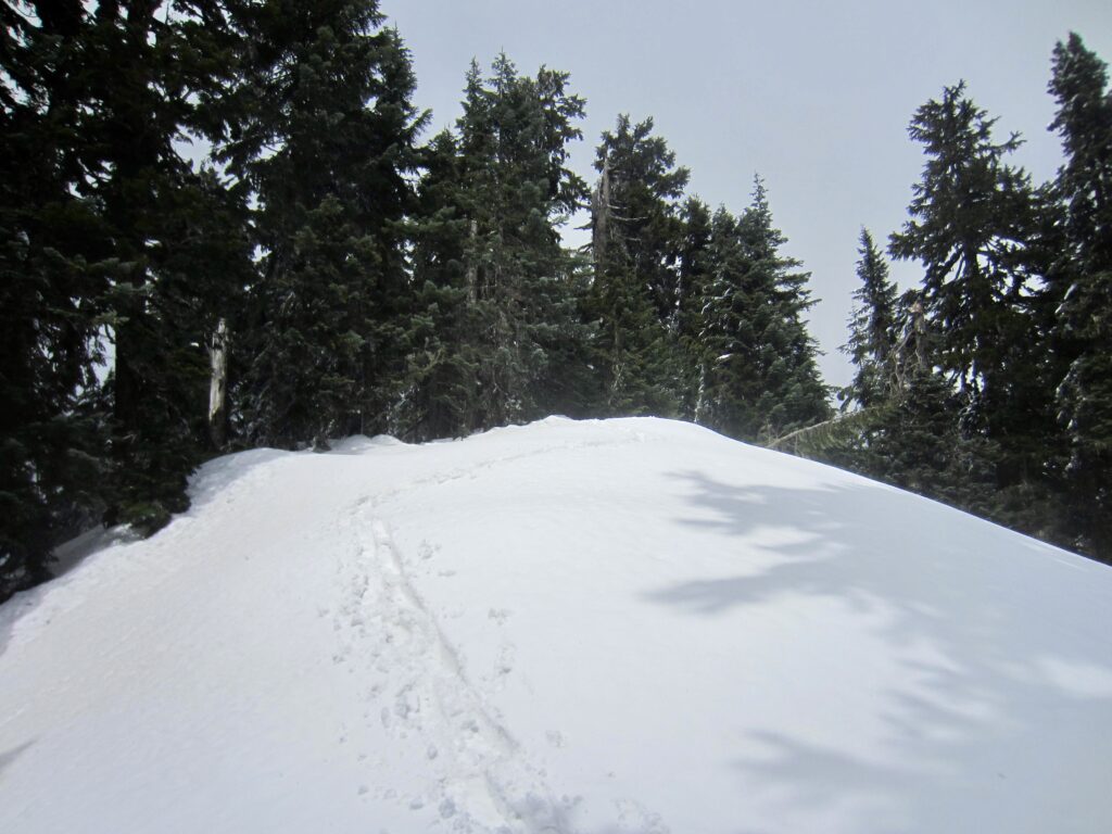
The old access road terminates at the tower, but a narrow passageway behind the tower curves up to a ridge crest. Turn left (north) here and follow this crest uphill through open forest to the 4200-foot summit of Surveyors Hill. The summit is densely wooded and has no view, but there are several adjacent clearings that make a nice lunch spot with peekaboo views.
.
.
For the descent, snowshoers can simply follow their entire up-track back down to the starting point. Skiers, however, would likely find that the Nordic Pass Trail does not offer decent skiing. A more agreeable alternative involves returning to Grand Junction, then turning down to the left (north) in order to intersect the InterSummit-90 ski trail, then following this trail eastward back to the Summit East Ski Area. From the base lodge, make a ¼-mile stroll back to the overflow parking lot.
…
Equipment Comments
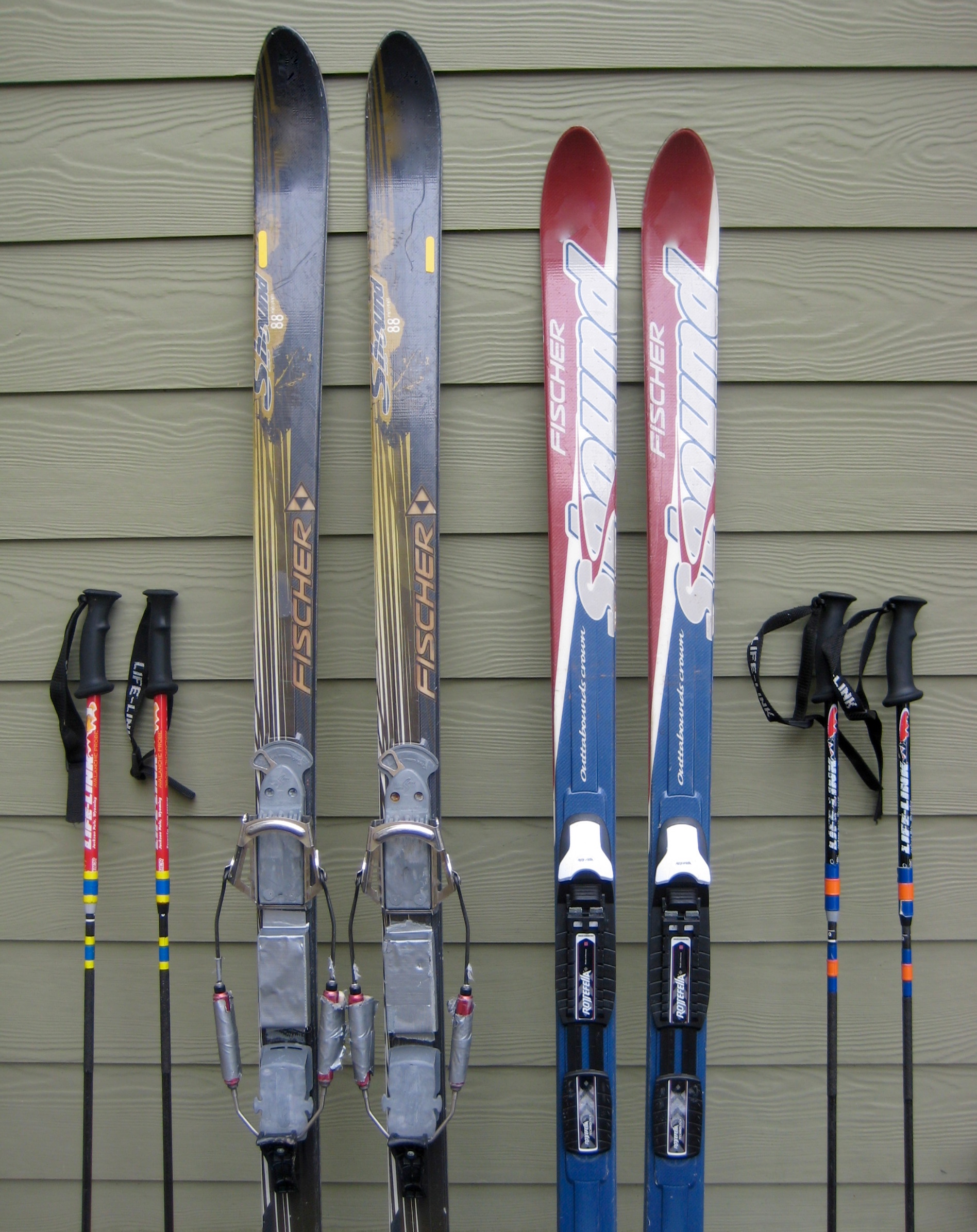
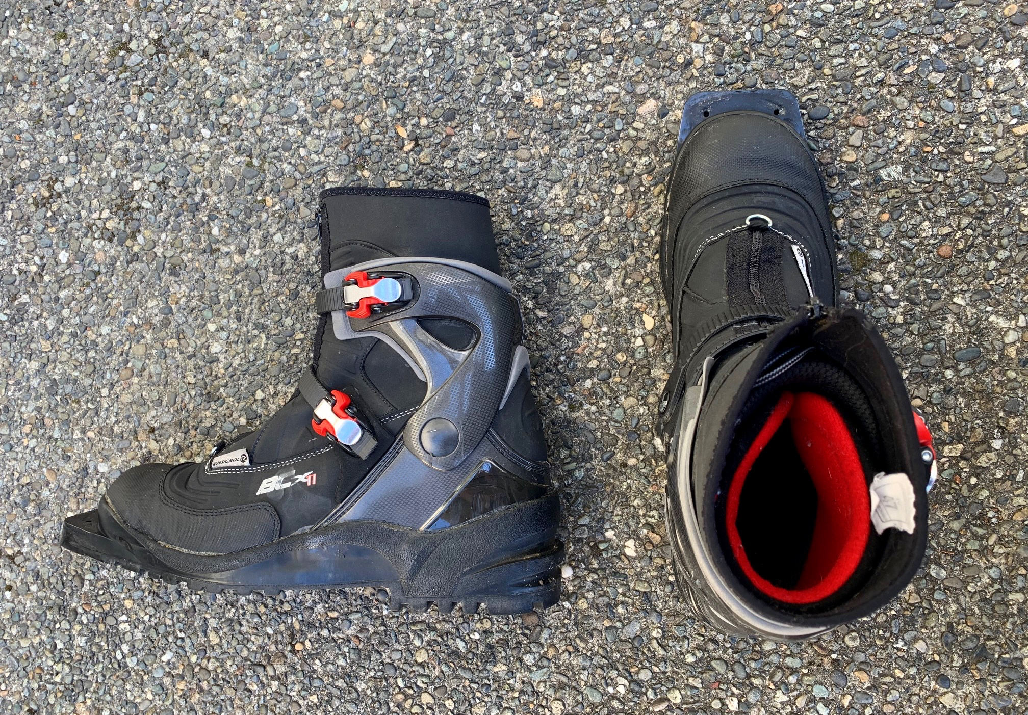
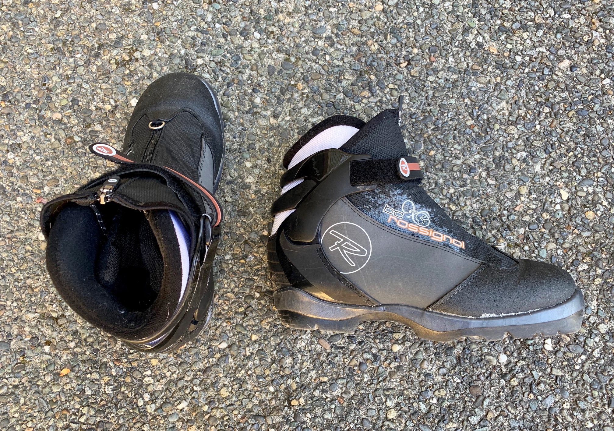
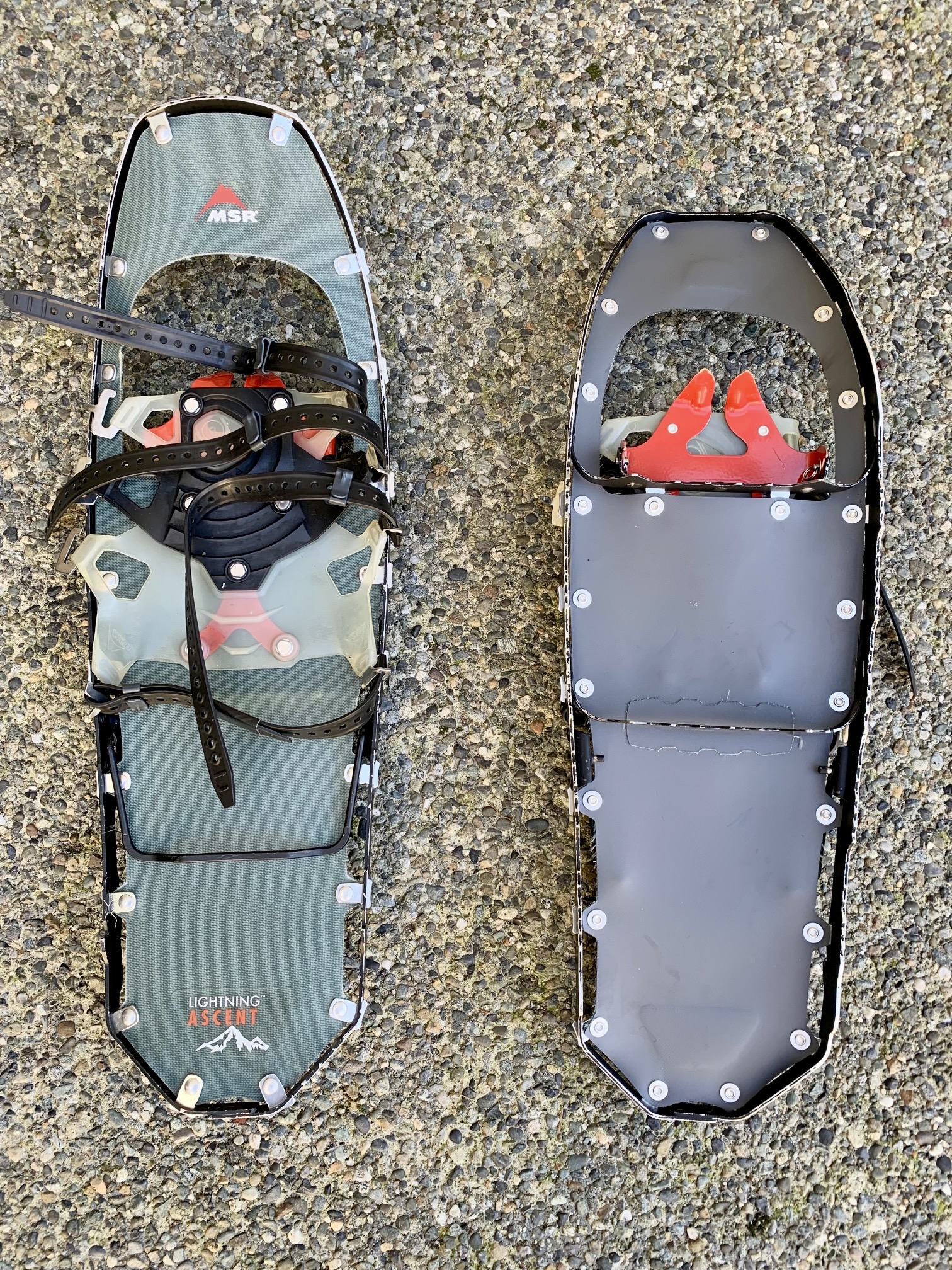
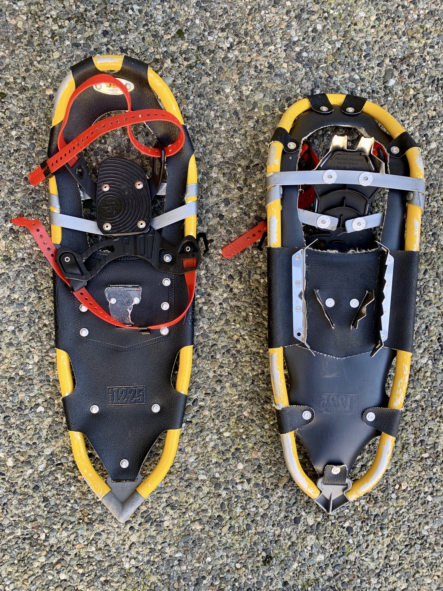
The Surveyors Hill trek is equally well-suited to snowshoes and skis. In the former case, either trail snowshoes or mountain snowshoes could be used. In the latter case, either backcountry nordic touring gear or randonnee (alpine touring, or AT) gear is appropriate. For more information regarding the various equipment that I typically use for this particular trip and for other trips of this type, see my gear discussions and reviews on the following pages:
>>> Trail & Mountain Snowshoes
>>> Backcountry Nordic Ski Touring Gear
>>> Backcountry Ski & Snowshoe Packs
>>> Wintertime Comfort Accessories
…
Route Maps & Profile
…
…
…
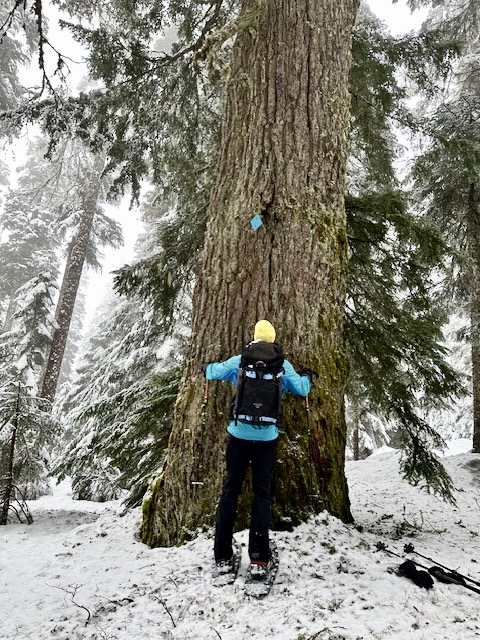
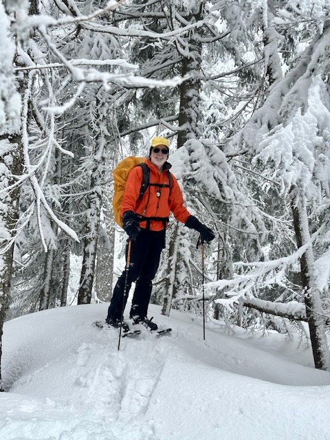
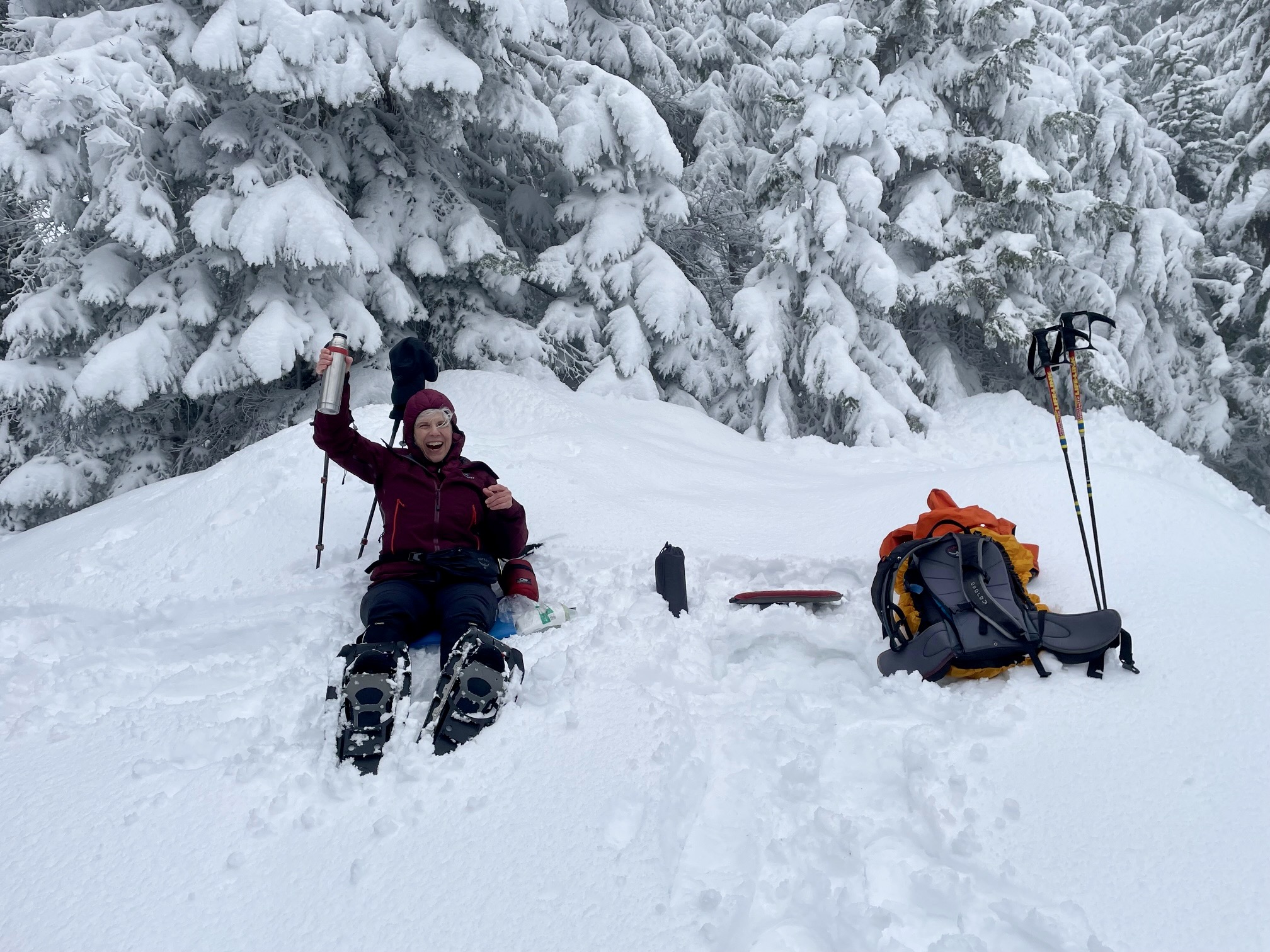
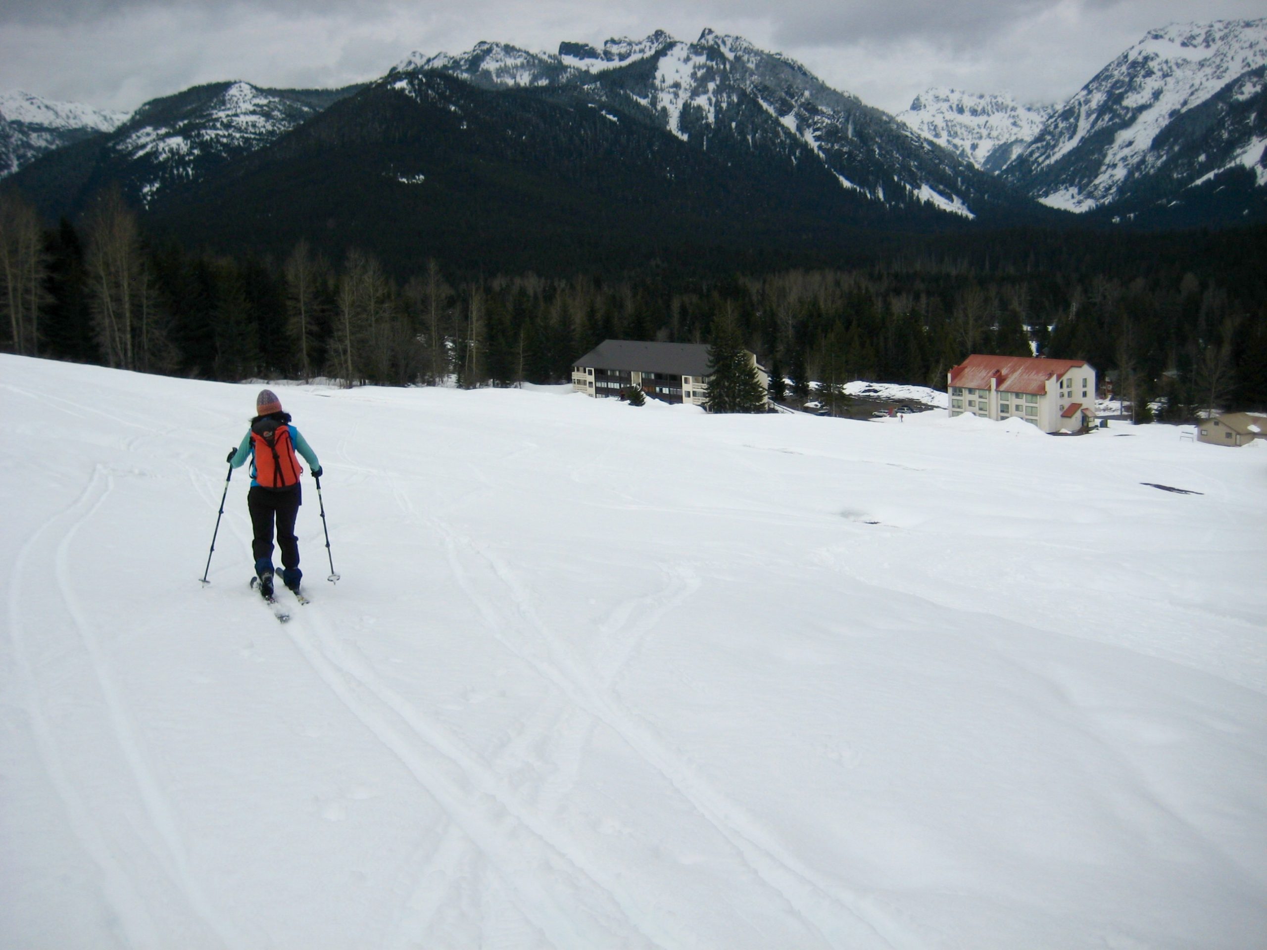
Photo Gallery
Click to enlarge…