Trip Date: September 27, 2015
Red Top Bike Loop: South Ridge to North Ridge
Blue “Y”
Dickey Creek Pass
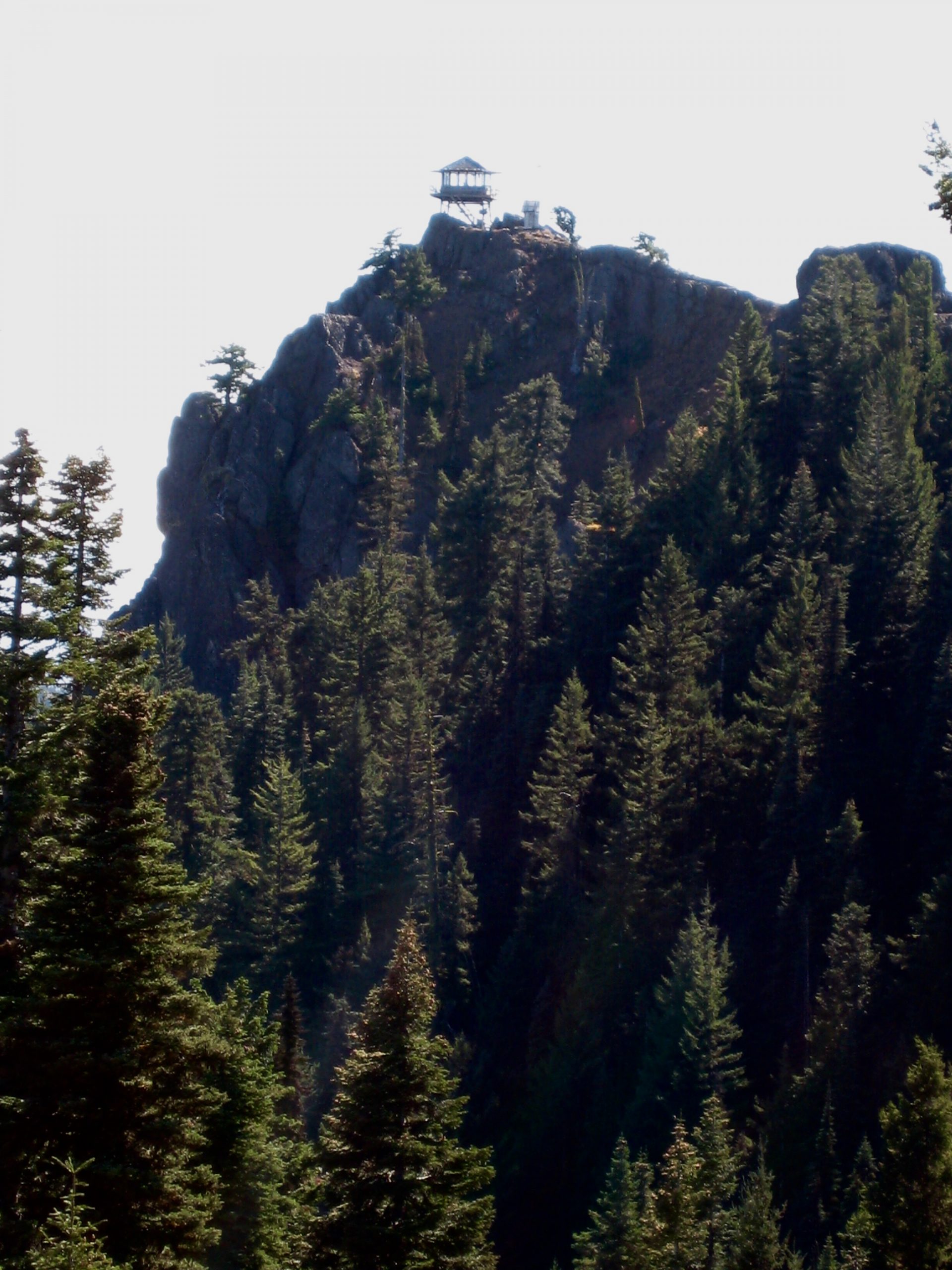
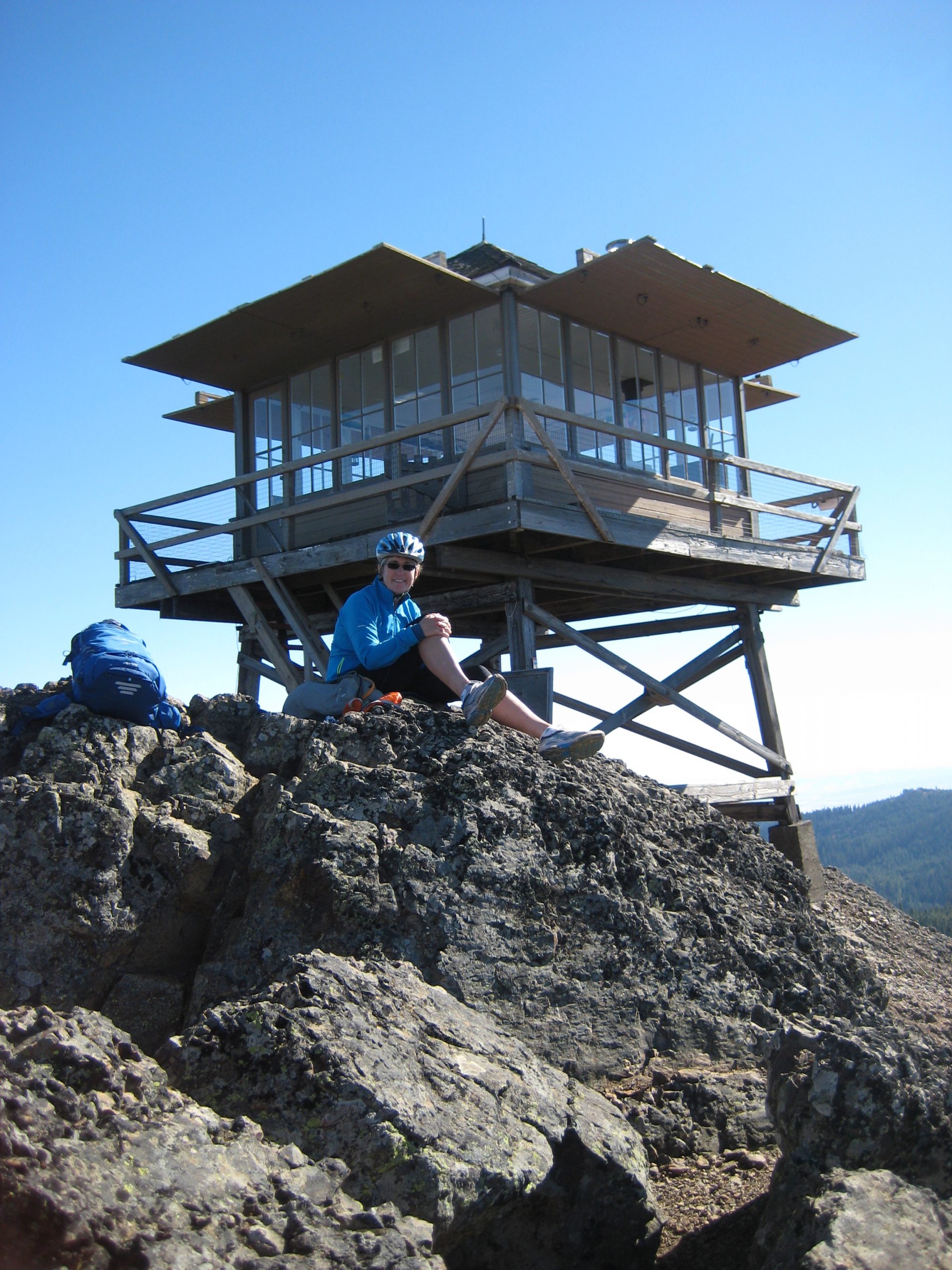
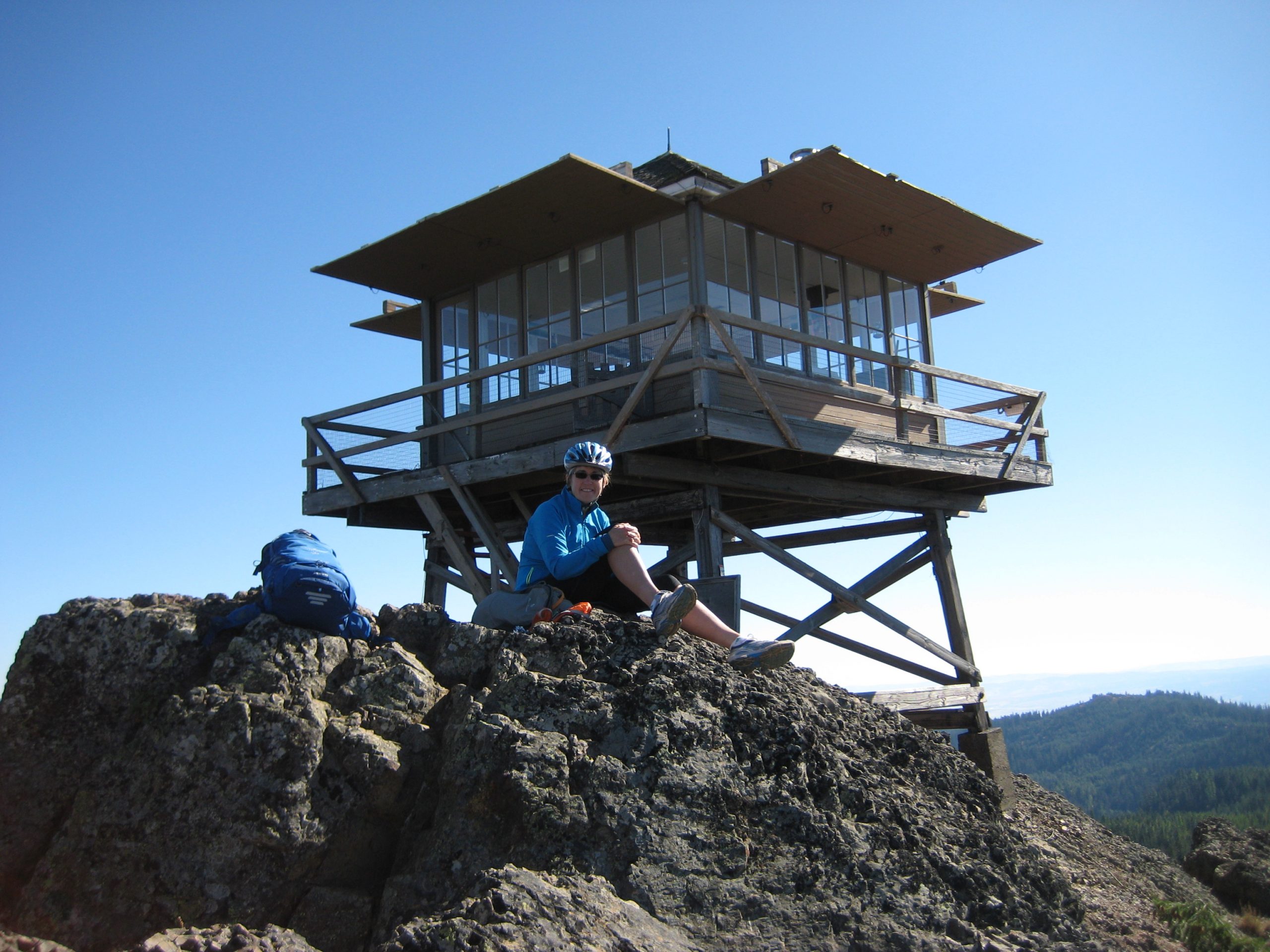
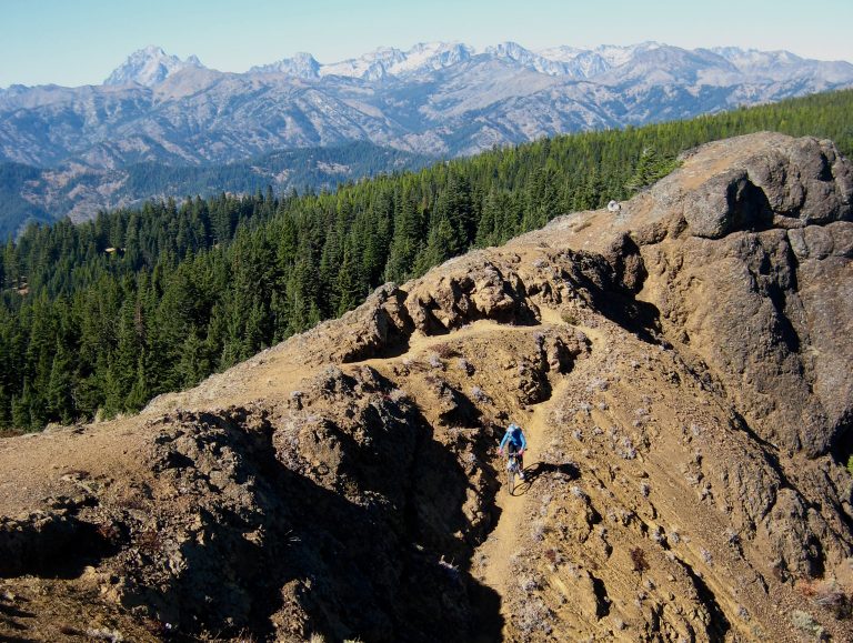
Red Top Mountain / Lookout (5361 ft)
Teanaway Pass
Hovey Creek
Trip Report Summary
Region: Central Washington Cascades
Sub-Region: Teanaway Mountains
Area: Okanogan–Wenatchee National Forest
Starting & Ending Point: Blue Creek Road at MP-1.0 on Highway 97 (Elev. 2950 feet)
Way Points: Blue Creek & Blue “Y” & Upper Medicine Creek & South Teanaway Ridge & Dickey Creek Pass & Red Top Lookout & Agate Beds & North Teanaway Ridge & Teanaway Pass & Hovey Creek & Blue “Y” (bike ride via Road 9738—Road 9702—Trail 1364—Road 9738)
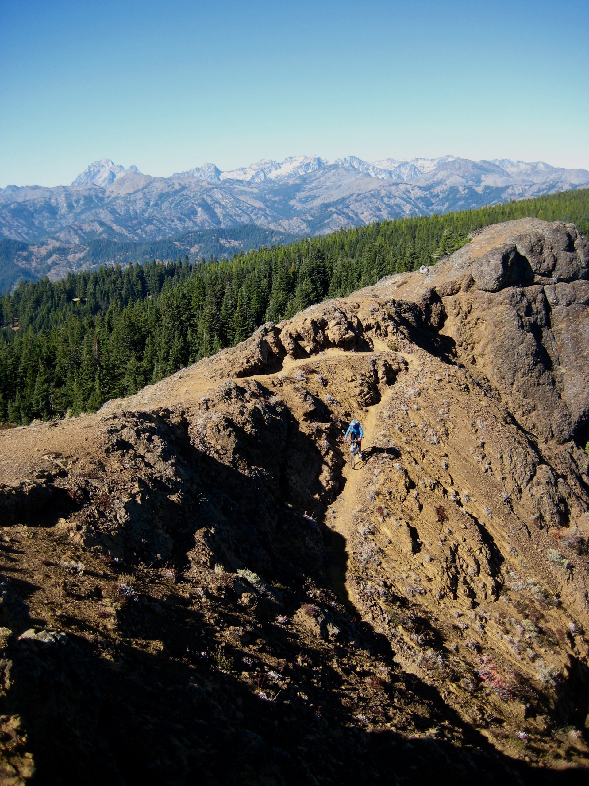
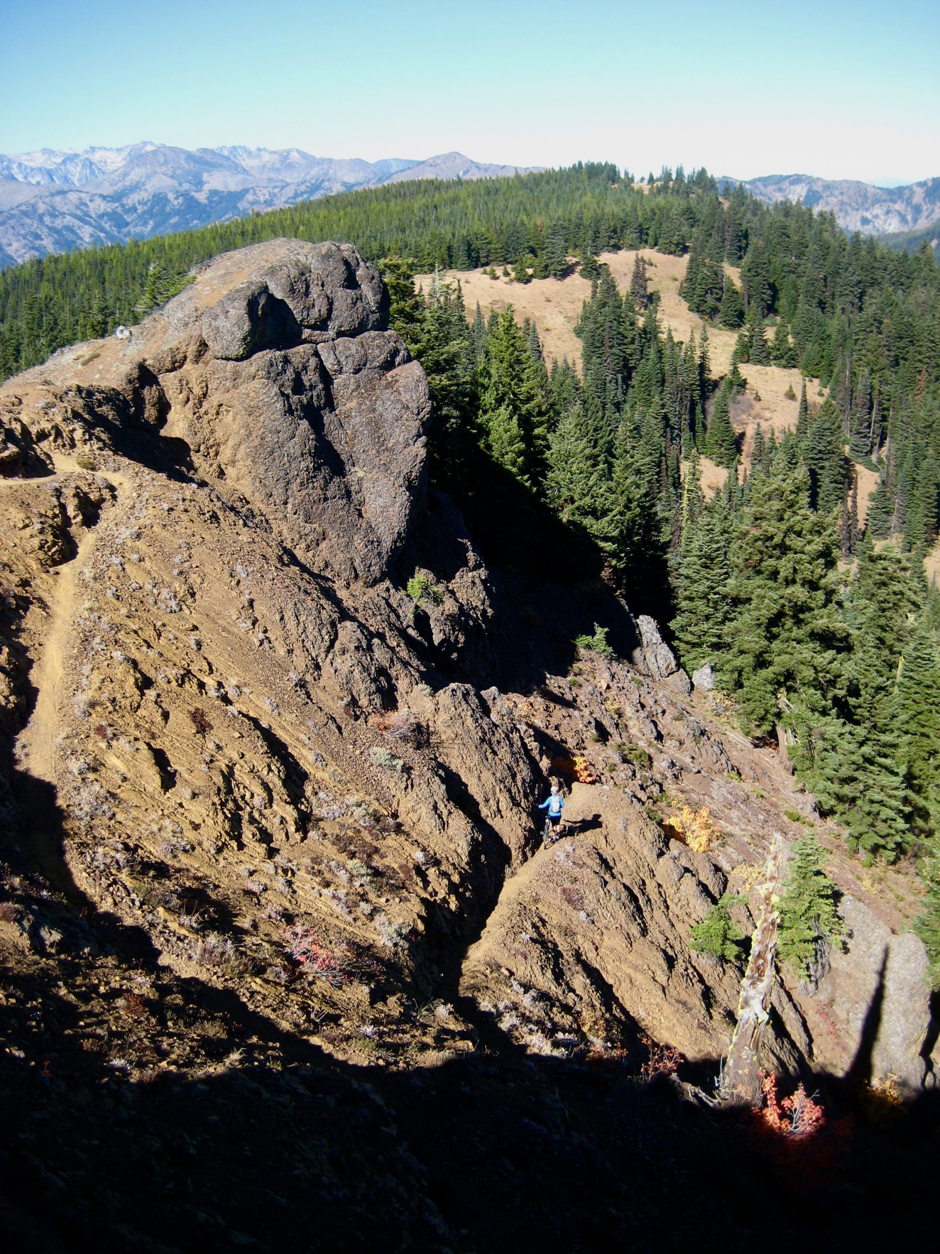
Summit: Red Top Mountain (bike ascent South Ridge; bike descent via North Ridge)
Approximate Stats: 15 miles traveled; 2700 feet gained & lost; 2.9 hours up; 1.5 hours down.
Related Post
>>> Teanaway Ridge Bike Loop: Blue Creek to Iron Creek – June 12, 2016
Route Map
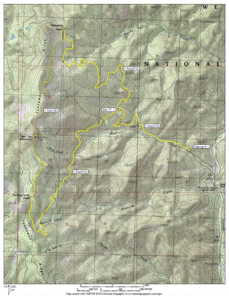
Photo Gallery
Click to enlarge…