Originally Posted: September 6, 2025
Pyramid Creek Bike Loop & Lookout Hikes
Greenwater River Valley
Pacific Crest Trail
Windy Gap
Whistler Creek Valley
Pyramid Peak / Lookout (5715 ft)
Colquhoun Peak / Lookout (5173 ft)
Route Summary
Region: Southern Washington Cascades
Sub-Region: Greenwater Mountains
Area: Mt. Baker – Snoqualmie National Forest
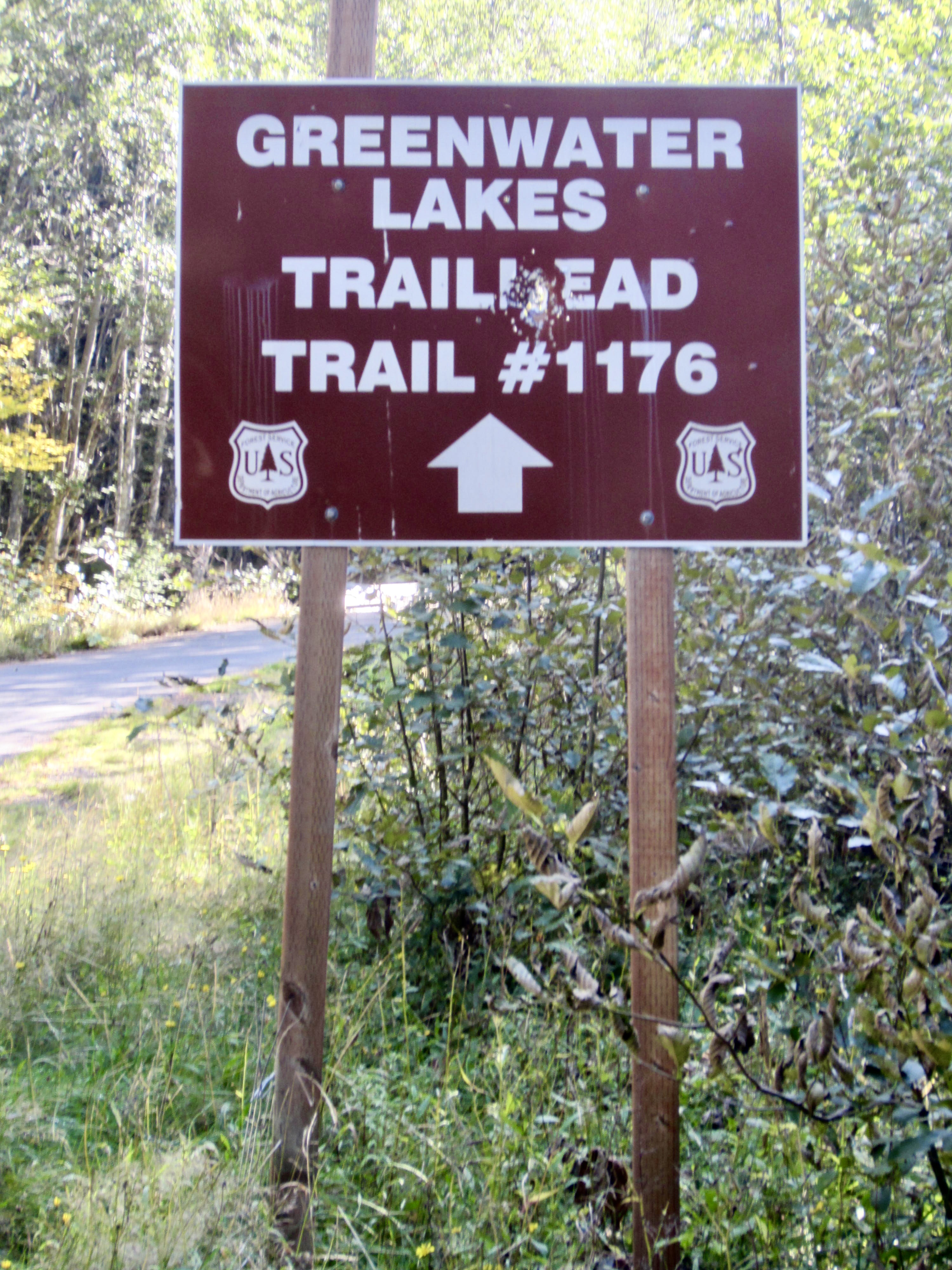
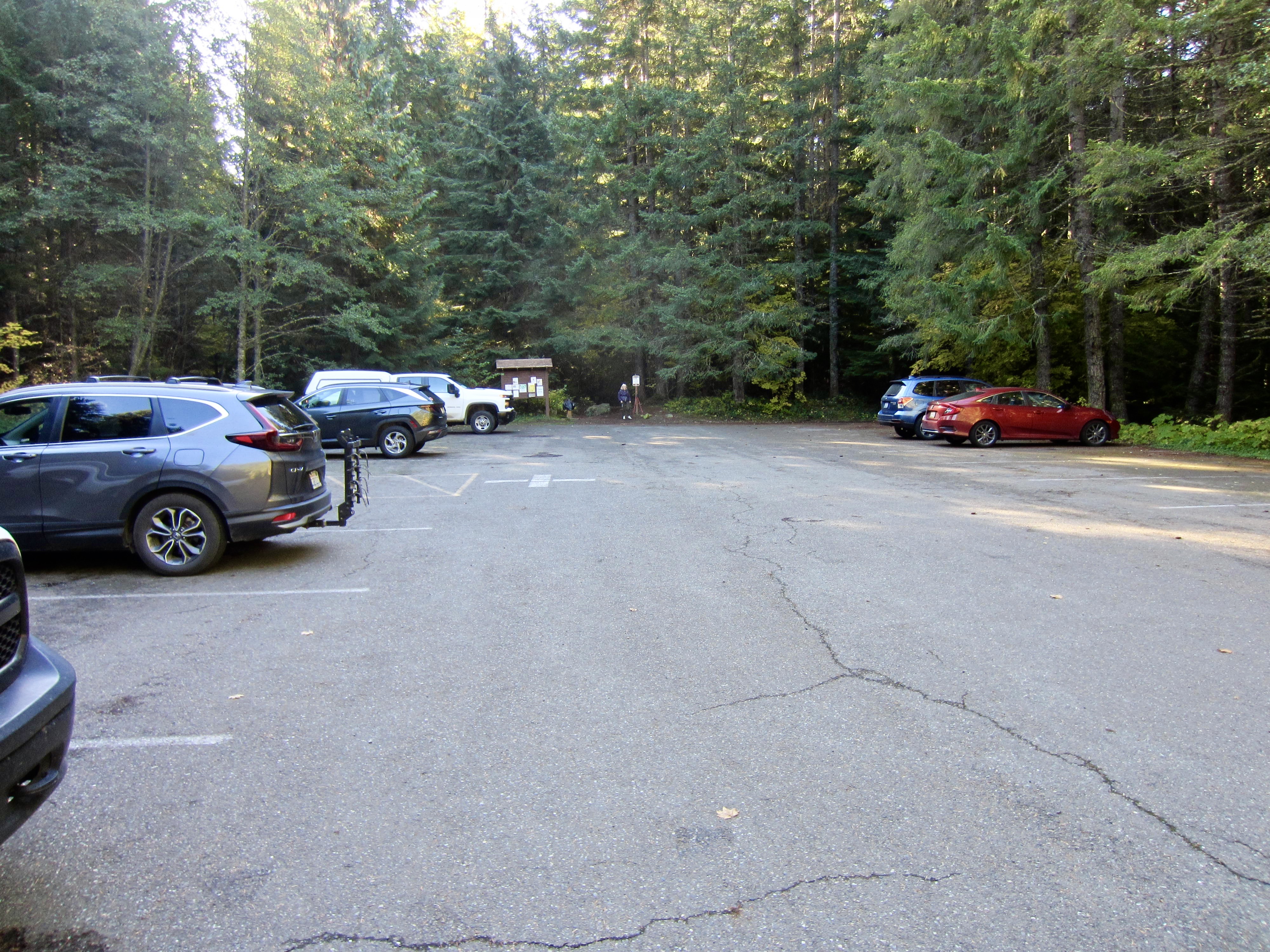
Starting & Ending Point: Greenwater Lakes Trailhead parking lot off Greenwater Road #70 (Elev. 2500 feet)
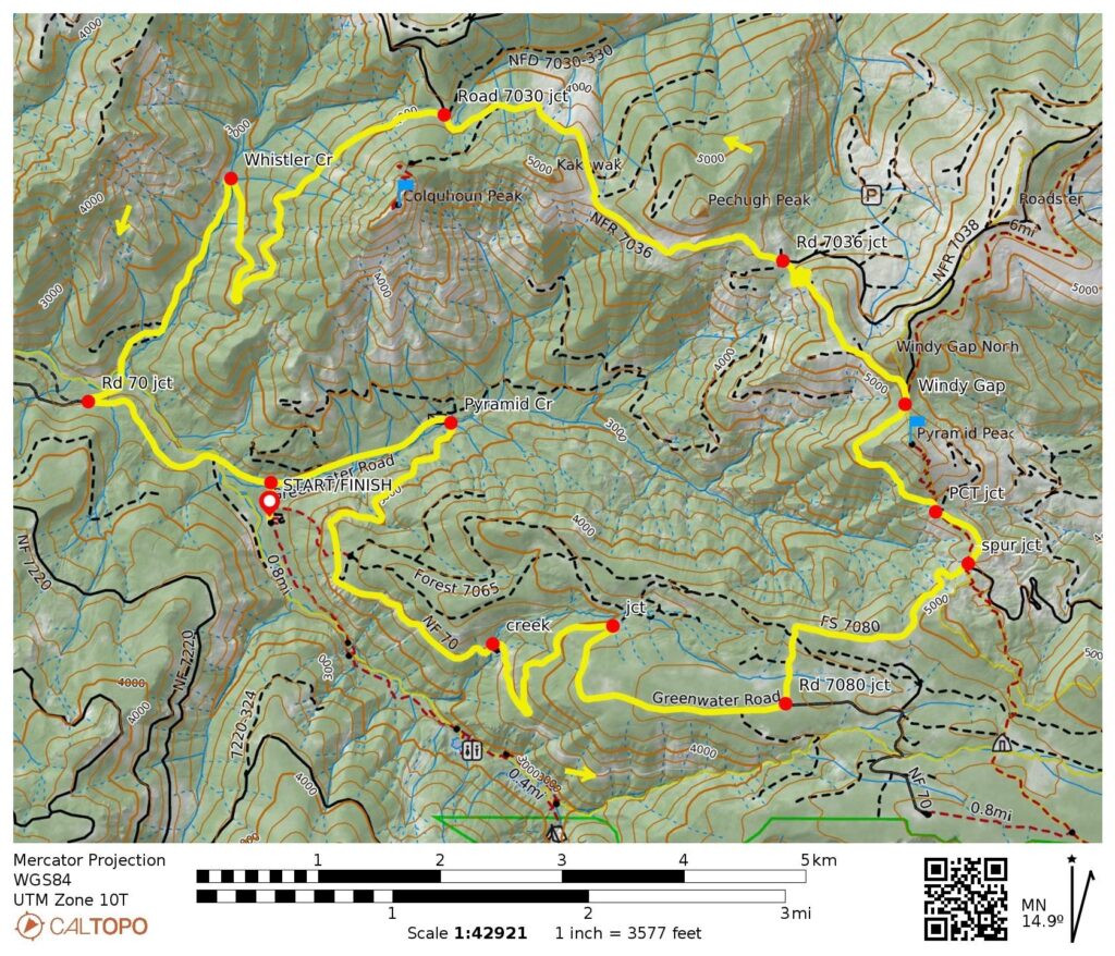
Loop Way Points: Greenwater Road #70 junction & Pyramid Creek Bridge & Road #7080 junction & Pyramid Peak Road junction & PCT junction & Windy Gap & Windy Gap Road junction & Road #7036 junction & Colquhoun Peak Road junction & Whistler Creek Road #7030 junction & Whistler Creek crossing & Greenwater River Bridge & Greenwater Road #70 junction & Greenwater Lakes Trailhead (bike ride & bike push via Road 70—Road 7080—Pyramid Peak Road—PCT—Windy Gap Road—Road 7036—Road 7030—Road 70)
Loop High Point: Windy Gap Road trifurcation (Elev. 5320 feet)
Optional Summit: Pyramid Peak (hike via South Ridge trail or hike via North Ridge path)
Optional Summit: Colquhoun Peak (bike ride & hike via Colquhoun Peak Road—Lookout Trail)
Approximate Stats (excluding both summit sidetrips): 18.1 miles traveled + 3300 feet gained & lost.
Approximate Stats (including both summit sidetrips): 21.5 miles traveled + 4950 feet gained & lost.
Route Overview
The Pyramid Creek Bike Loop serves up an interesting variety of mountain biking terrain in the Greenwater Mountains east of Highway 410. This 18-mile ride takes you from a valley bottom to the Cascade crest and back, while traveling through four adjacent watersheds: Greenwater River, Pyramid Creek, Twin Camp Creek, and Whistler Creek. The route follows seven different roadway segments, as well as a short segment of the Pacific Crest Trail. With a cumulative elevation gain of 3300 feet, it offers intermediate and advanced riders a moderately strenuous workout.
A bonus feature of the Pyramid Creek Bike Loop is that it provides a golden opportunity to visit not one but two former fire-lookout sites by making sidetrips to the summits of Pyramid Peak and Colquhoun Peak. Both summits can be reached via short hiking trails branching off from the biking route. Lookout aficionados will appreciate the historical aspect of these sidetrips, and everyone will appreciate the great views to be had.
The bike loop can be started and ended at a variety of points along the route, and it can be completed in either a clockwise or counterclockwise direction. My preferred starting/ending point is the Greenwater Lakes Trailhead, which is located at the end of a short access road off Greenwater Road #70. This trailhead has a roomy parking lot and a restroom (a Northwest Forest Pass or equivalent is required here), and the entire 15-mile distance from Highway 410 is nicely paved. As for a direction, I prefer going counterclockwise because this largely follows smoother roads for the uphill portions and rougher roads for the downhill portions.
.
Route Descriptions
The following three text sections give detailed descriptions for (1) the primary bike loop, (2) the Pyramid Peak sidetrip, and (3) the Colquhoun Peak sidetrip. Associated maps are presented after the descriptions.
Pyramid Creek Bike Loop
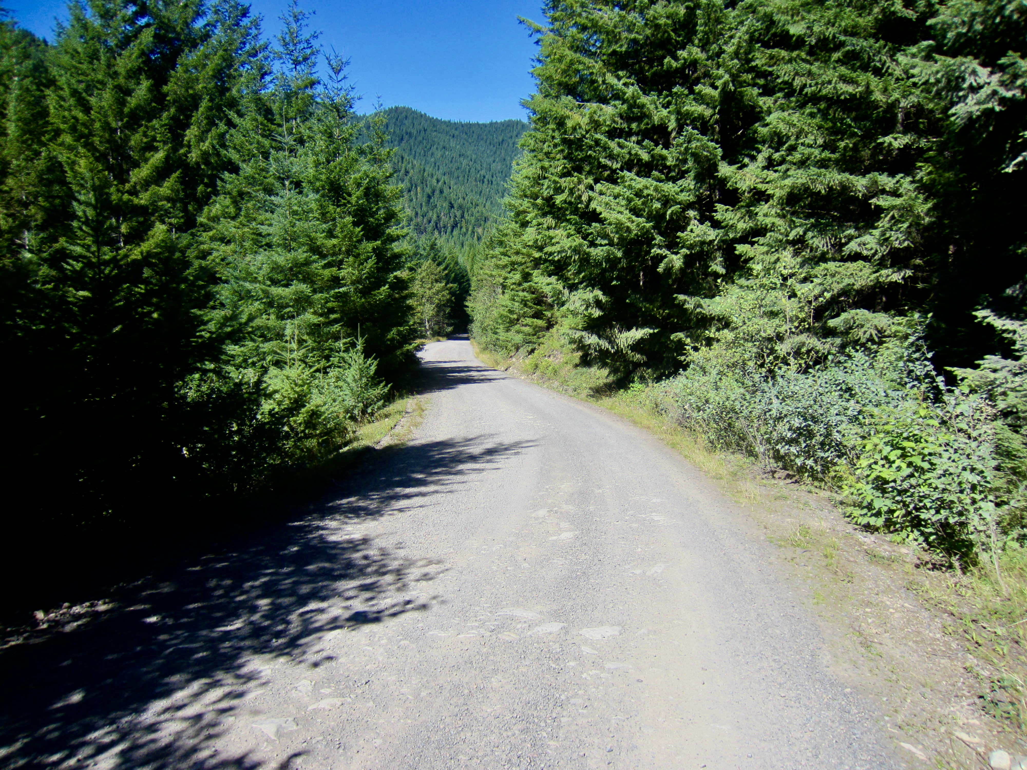
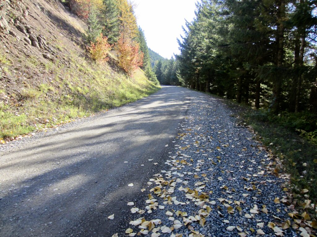
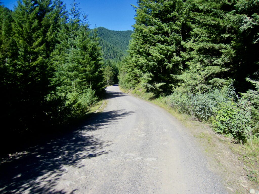
From the Greenwater Lakes Trailhead parking lot, ride northward down the access roadway and turn right onto Greenwater Road #70. Pedal up the paved road for 1 mile, at which point it makes a righthand curve across Pyramid Creek and changes from pavement to gravel. Settle into a long, steady, uphill cadence as the road curls around the nose of a ridge and traverses eastward high above the Greenwater River Valley.
.
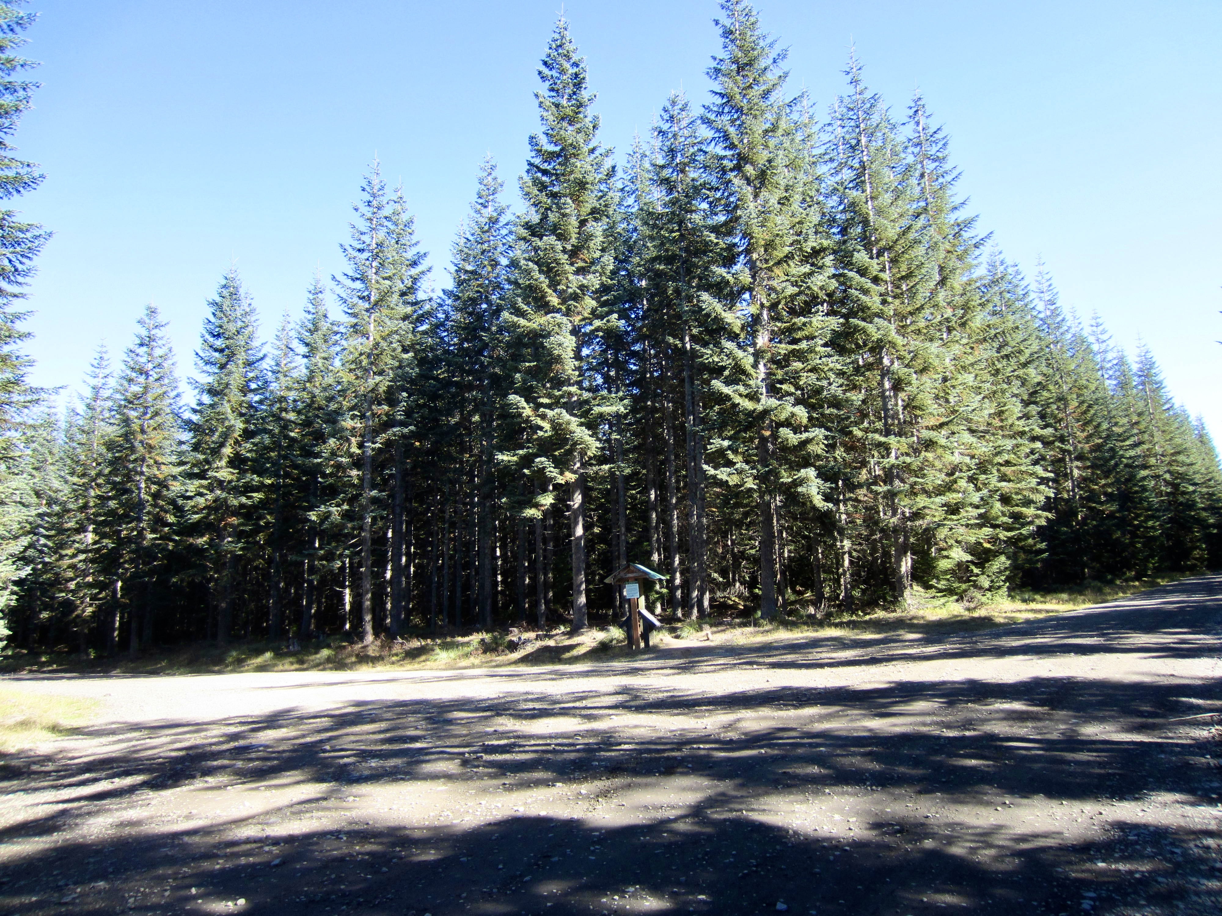
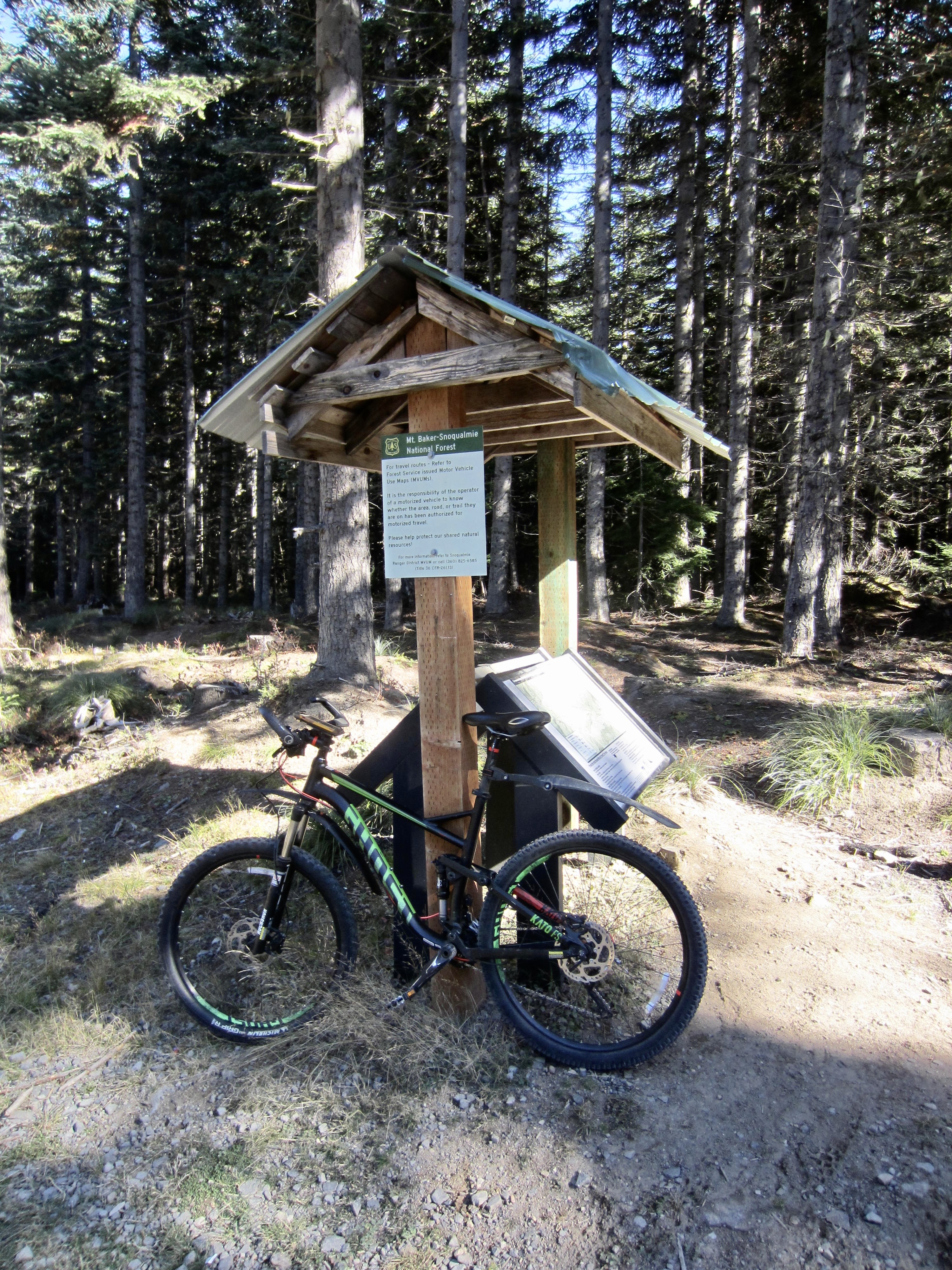
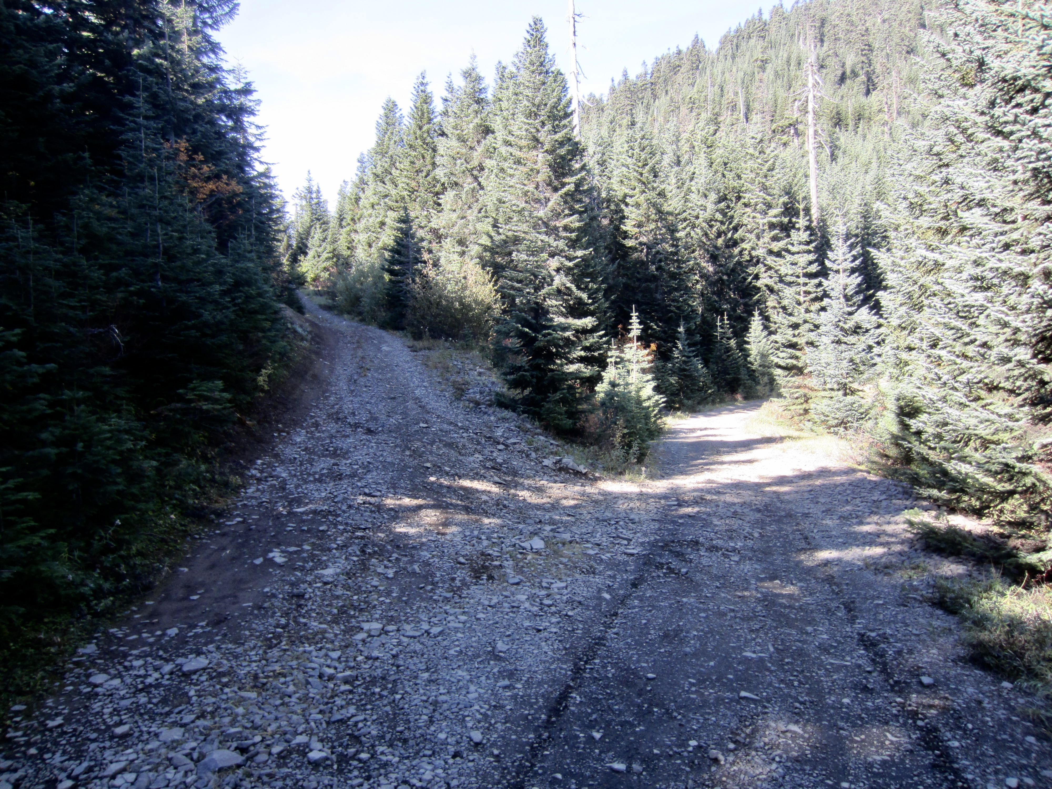
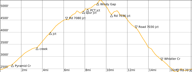
After about 3 miles of an easy gradient and a smooth gravel surface, the roadway gets slightly steeper and rockier. Eventually, it levels out and arrives at a major junction with Road #7080 (6.2 miles + 2050 feet from starting point). Look for an informational kiosk with a regional map at the far corner of this junction.
.
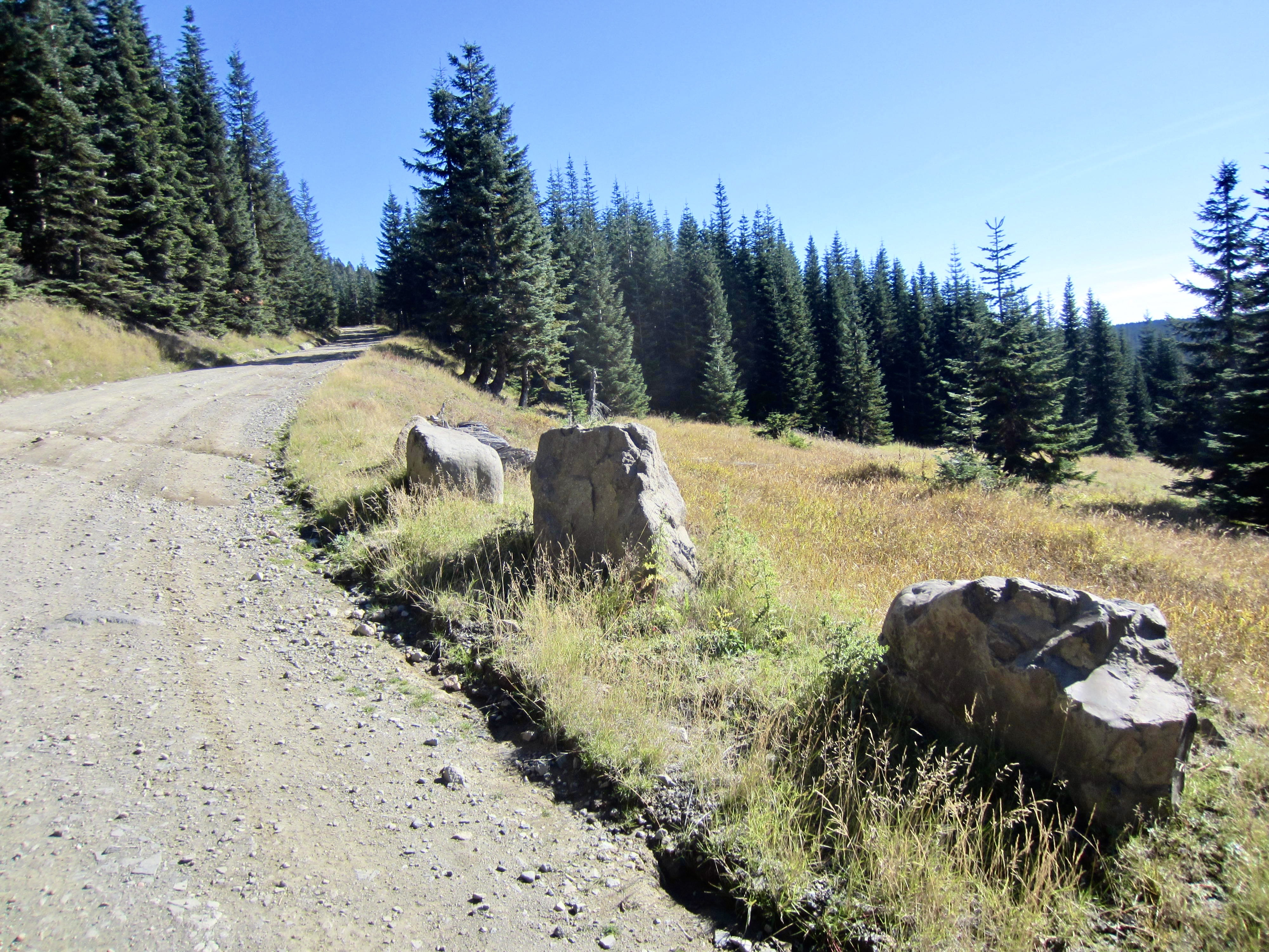
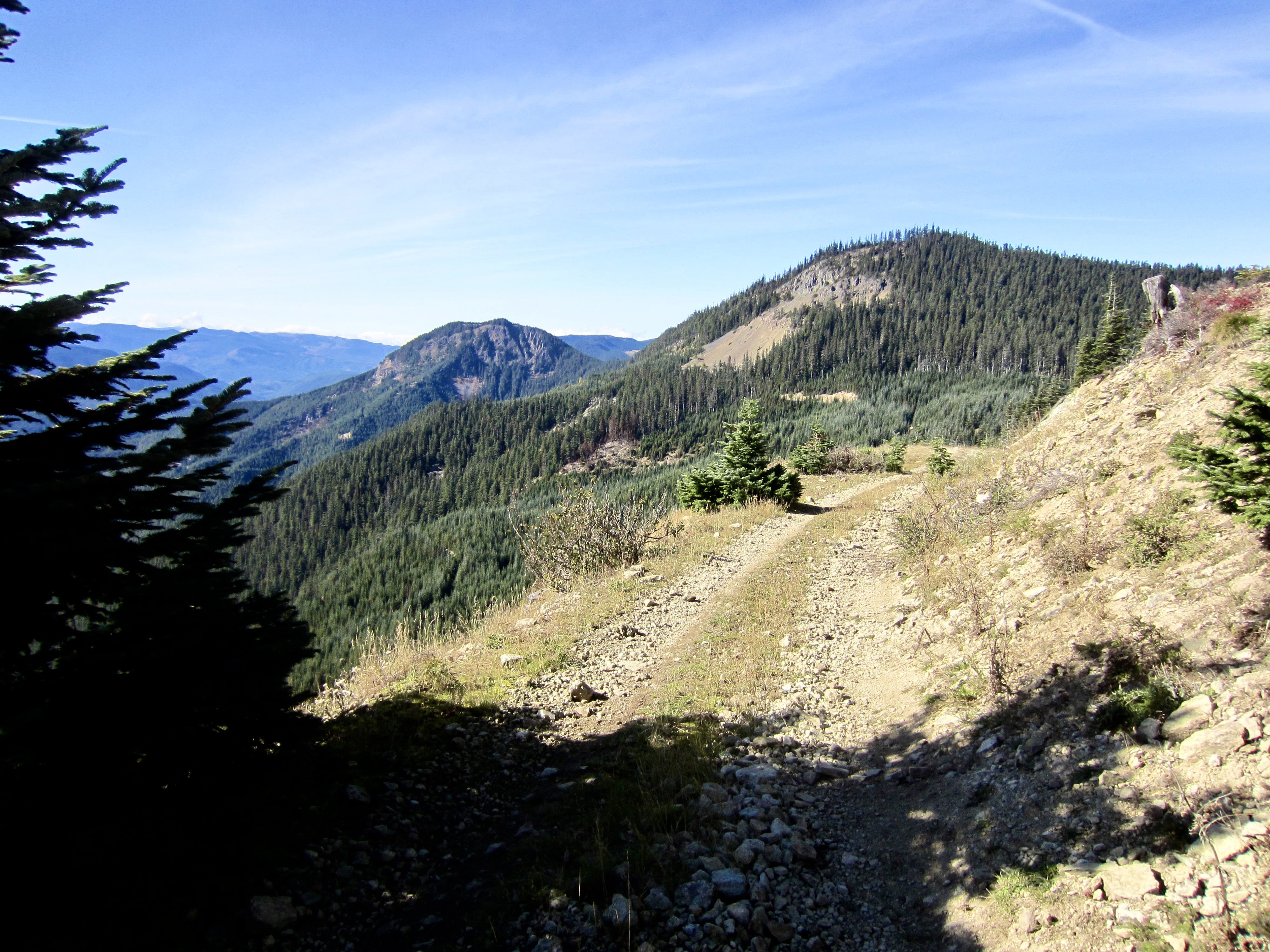
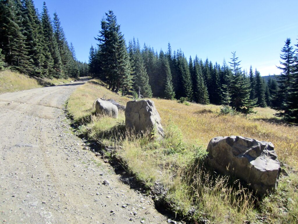
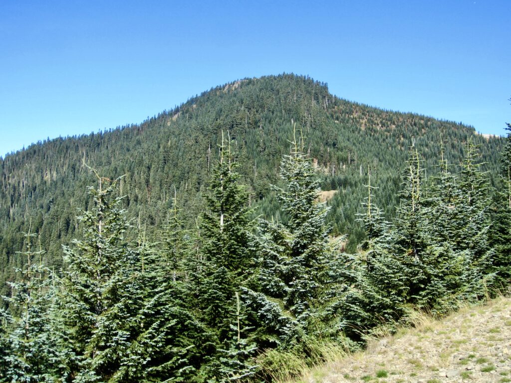
Make a left turn onto Road #7080 and follow it northward across a pronounced dip and then eastward along a spur ridge. Most of this roadway is covered by annoyingly loose rocks, but the views greatly improve. After crossing through a ridge saddle, the road contours in a northeasterly direction, and the forested summit of Pyramid Peak can be seen closely to the north.
.
.
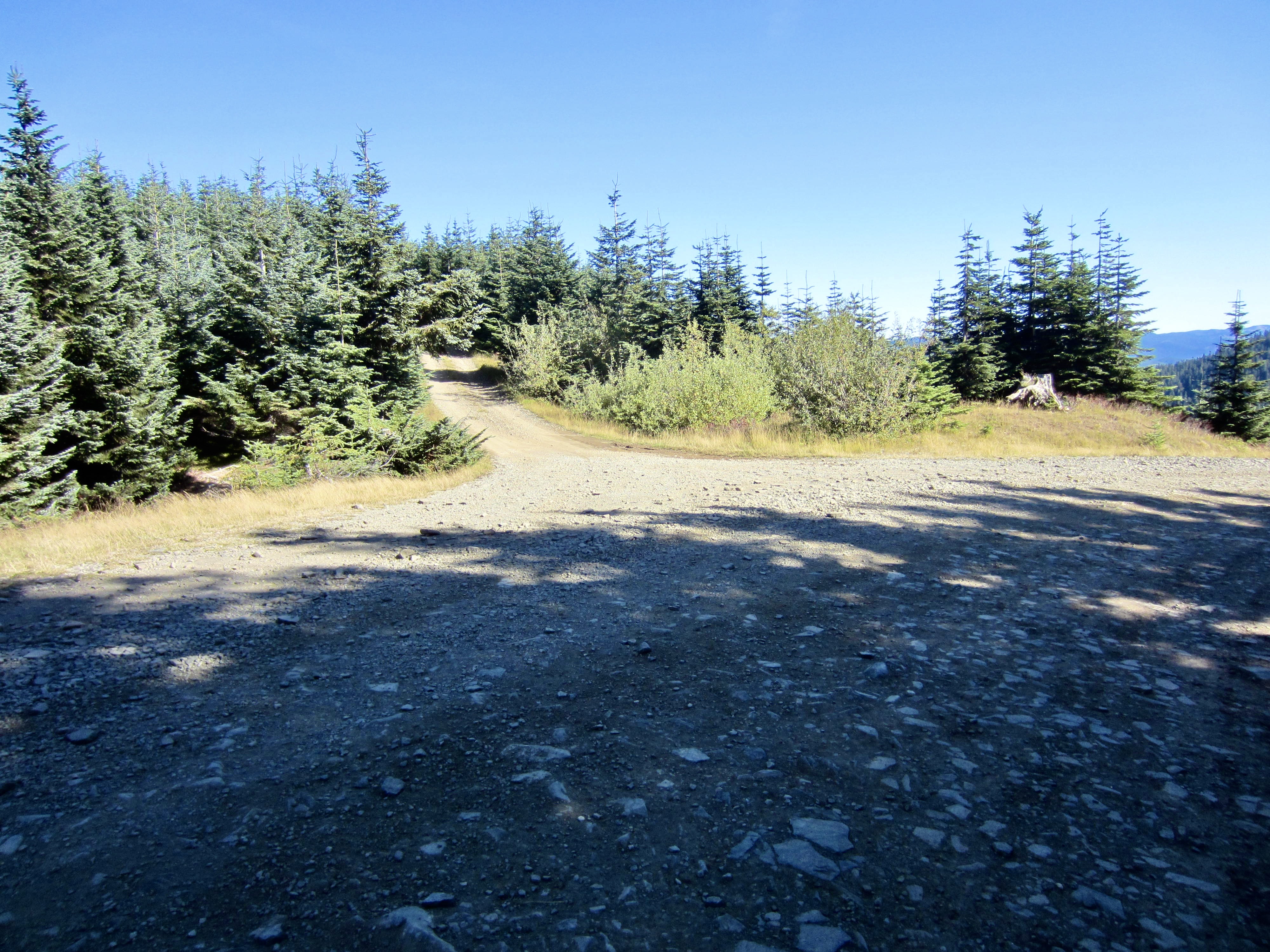
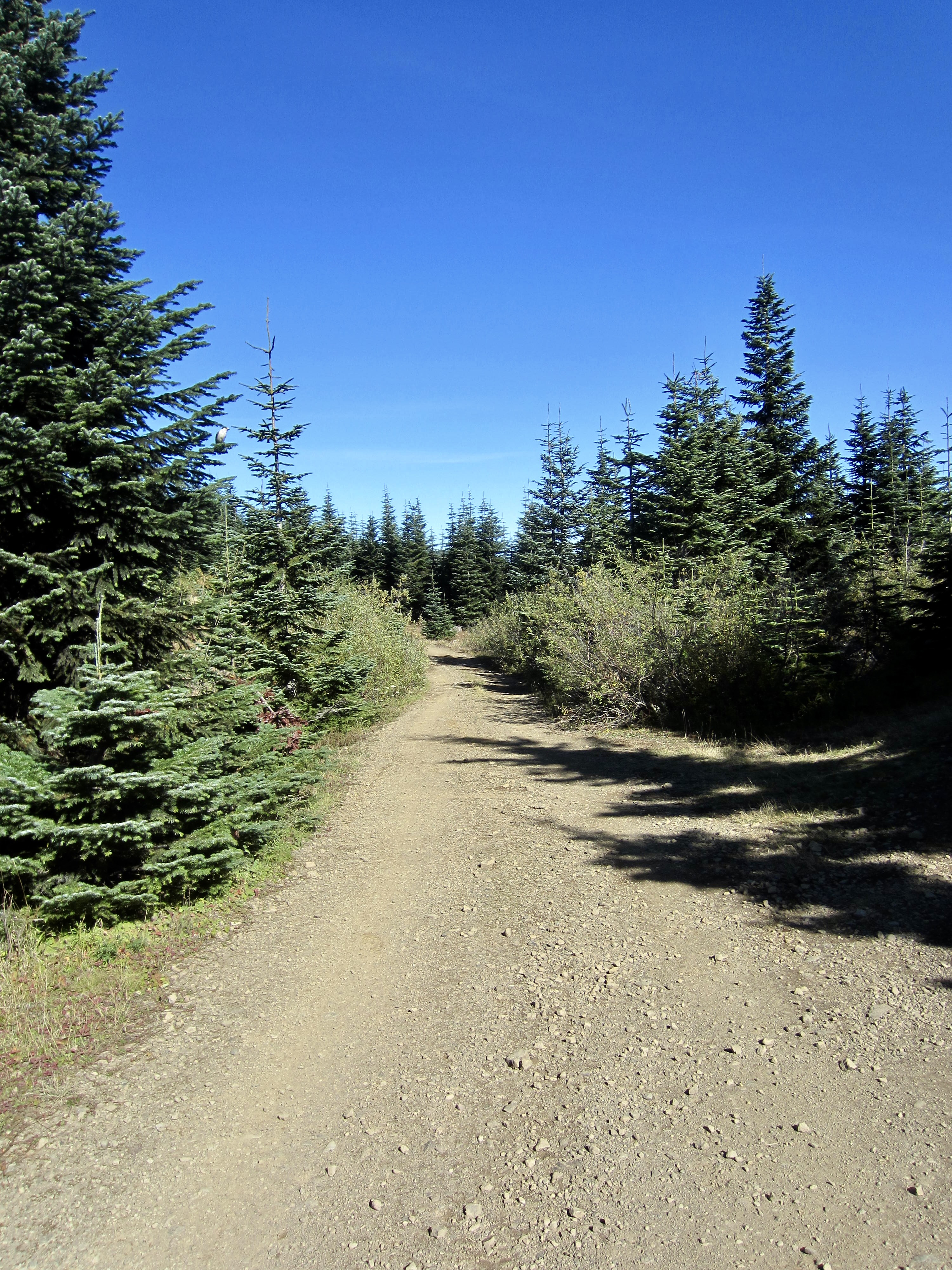
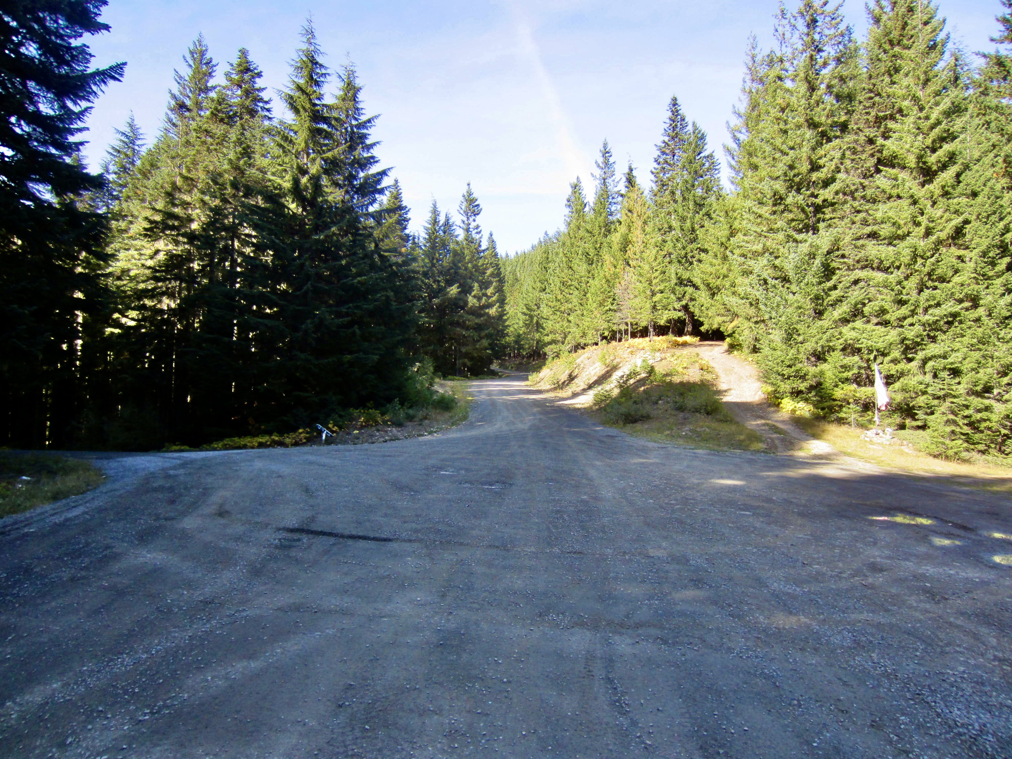
After ½ mile of contouring, Road #7080 tops out on a broad ridge crest (7.9 miles + 2500 feet from starting point) and disappears down the other side. You are now on the actual Cascade crest. Look for a narrow, unmarked spur road heading off to the left (northeast).
.
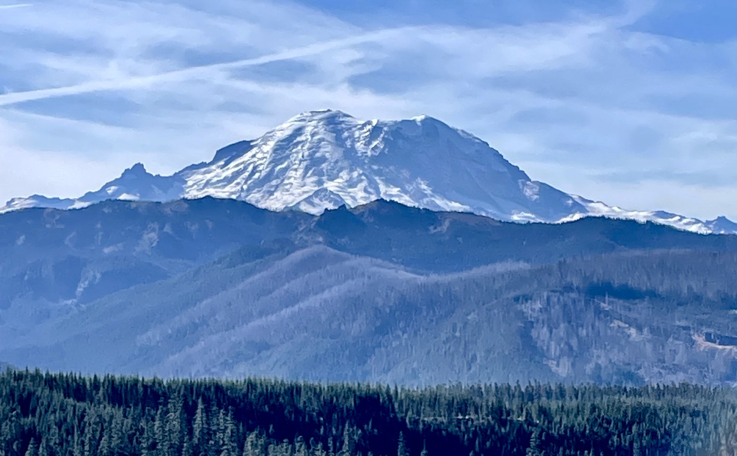
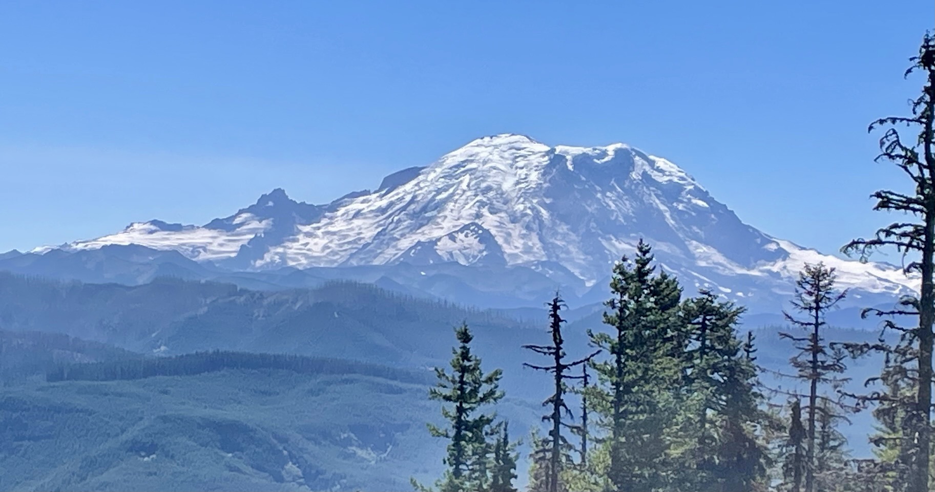
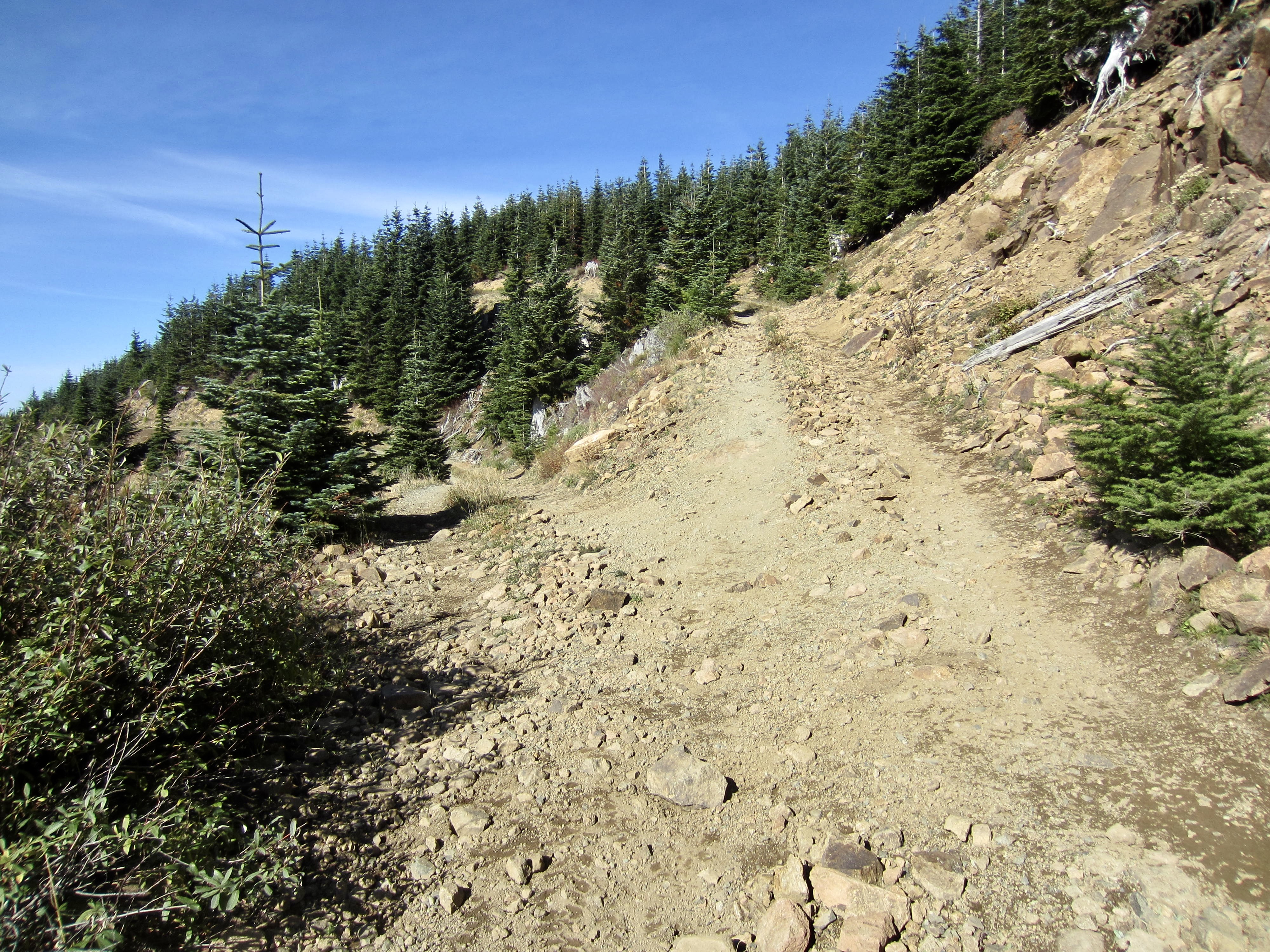
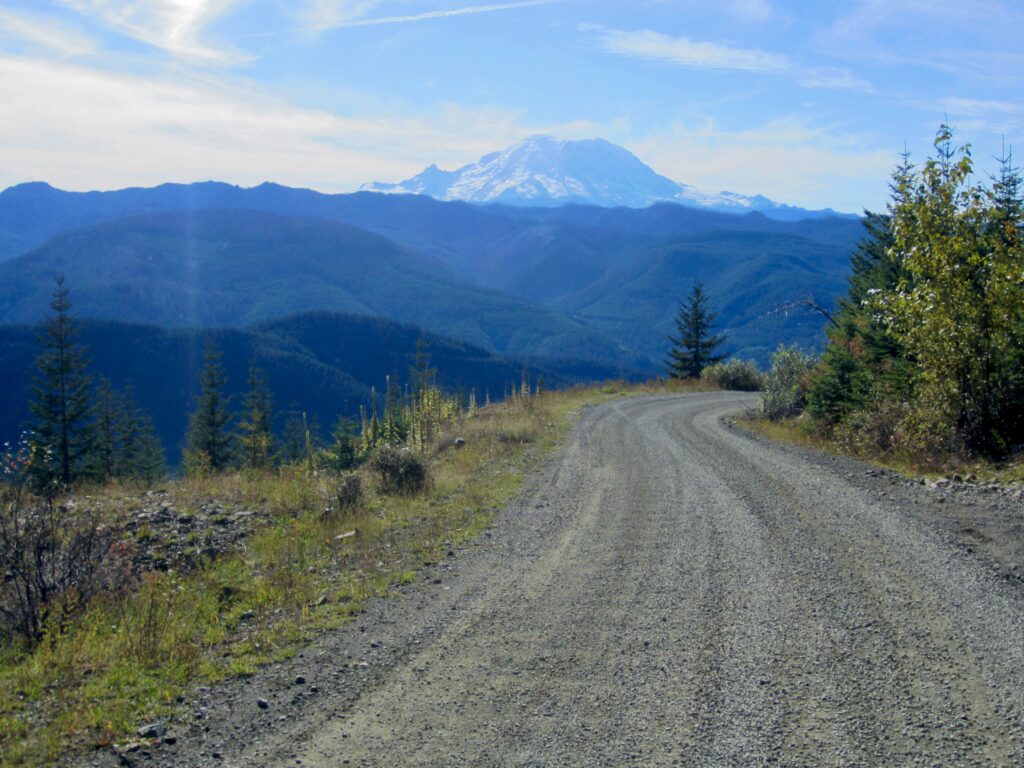
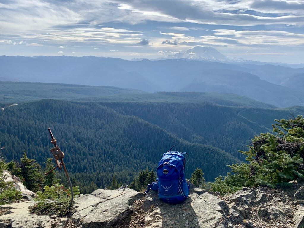
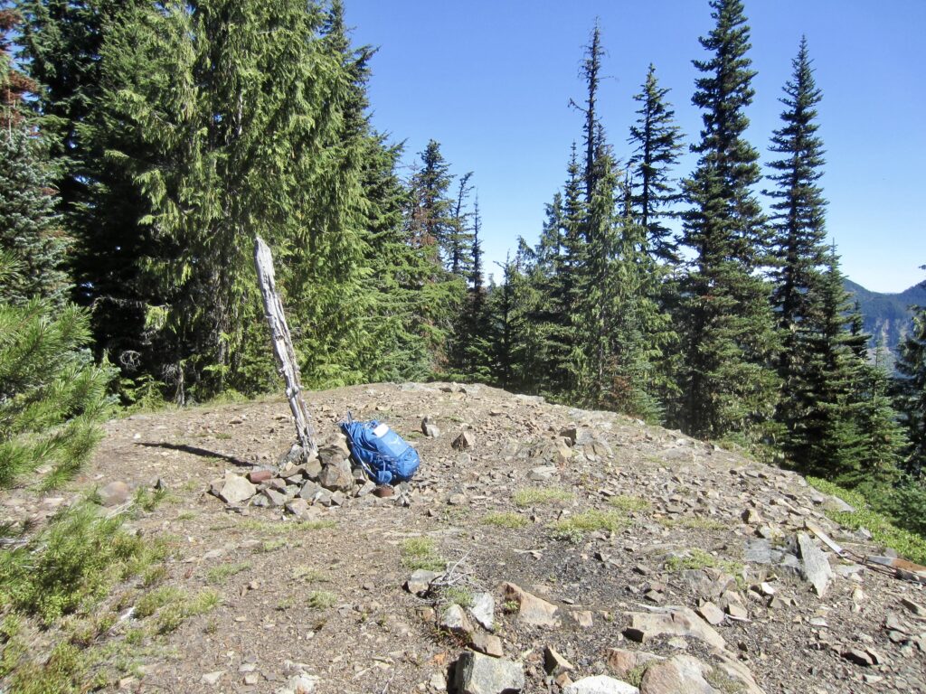
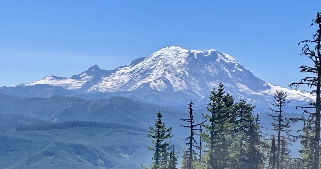
Proceed upward on the spur road, staying left at each of two obvious forks. This road gets very steep and rocky, so you will likely need to push your bike part of the way. Shortly beyond the second fork, the road ends at a flat clearing (8.3 miles + 2650 feet from starting point). Mt. Rainier makes a dramatic appearance to the southwest.
.

.
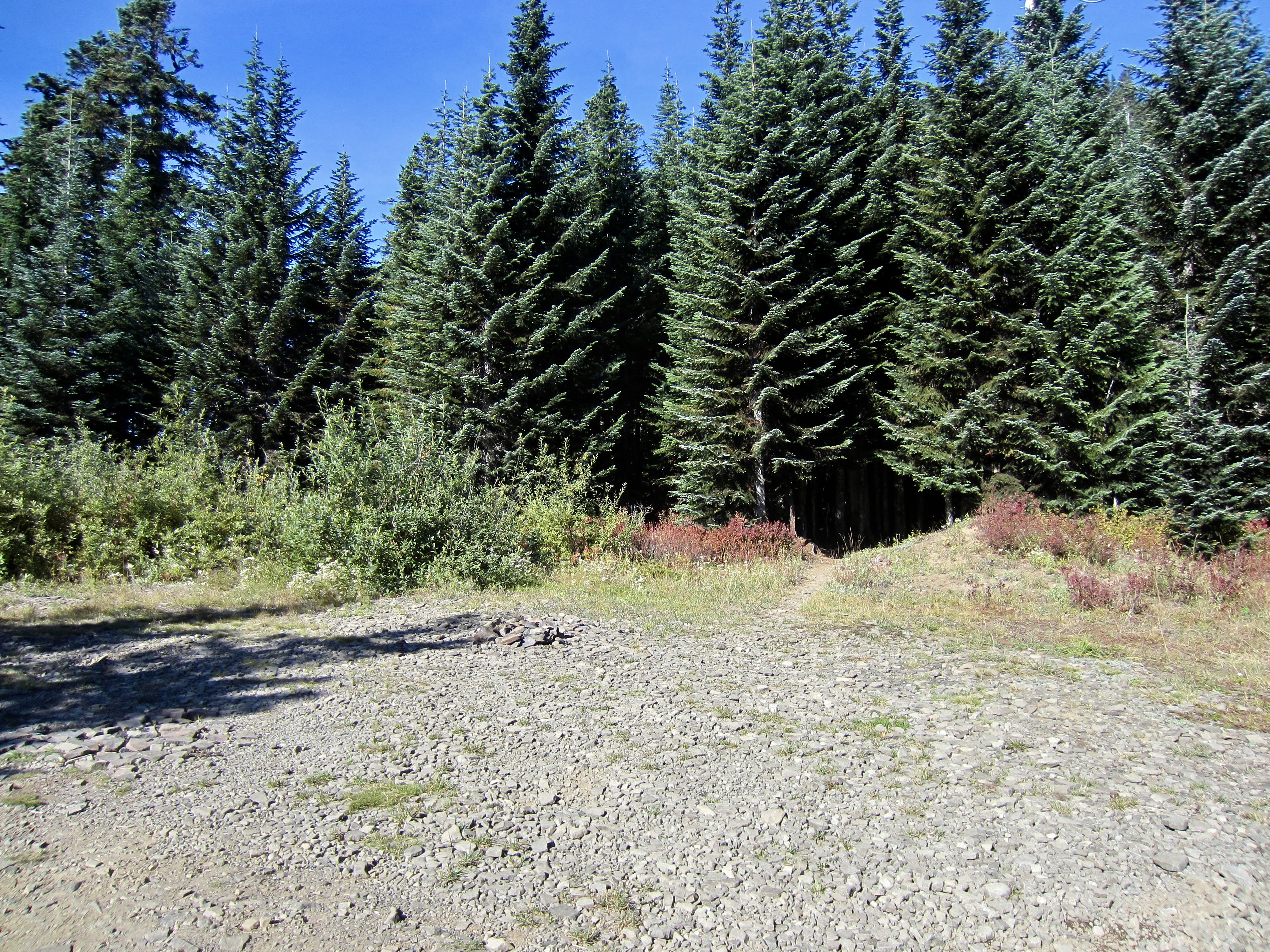
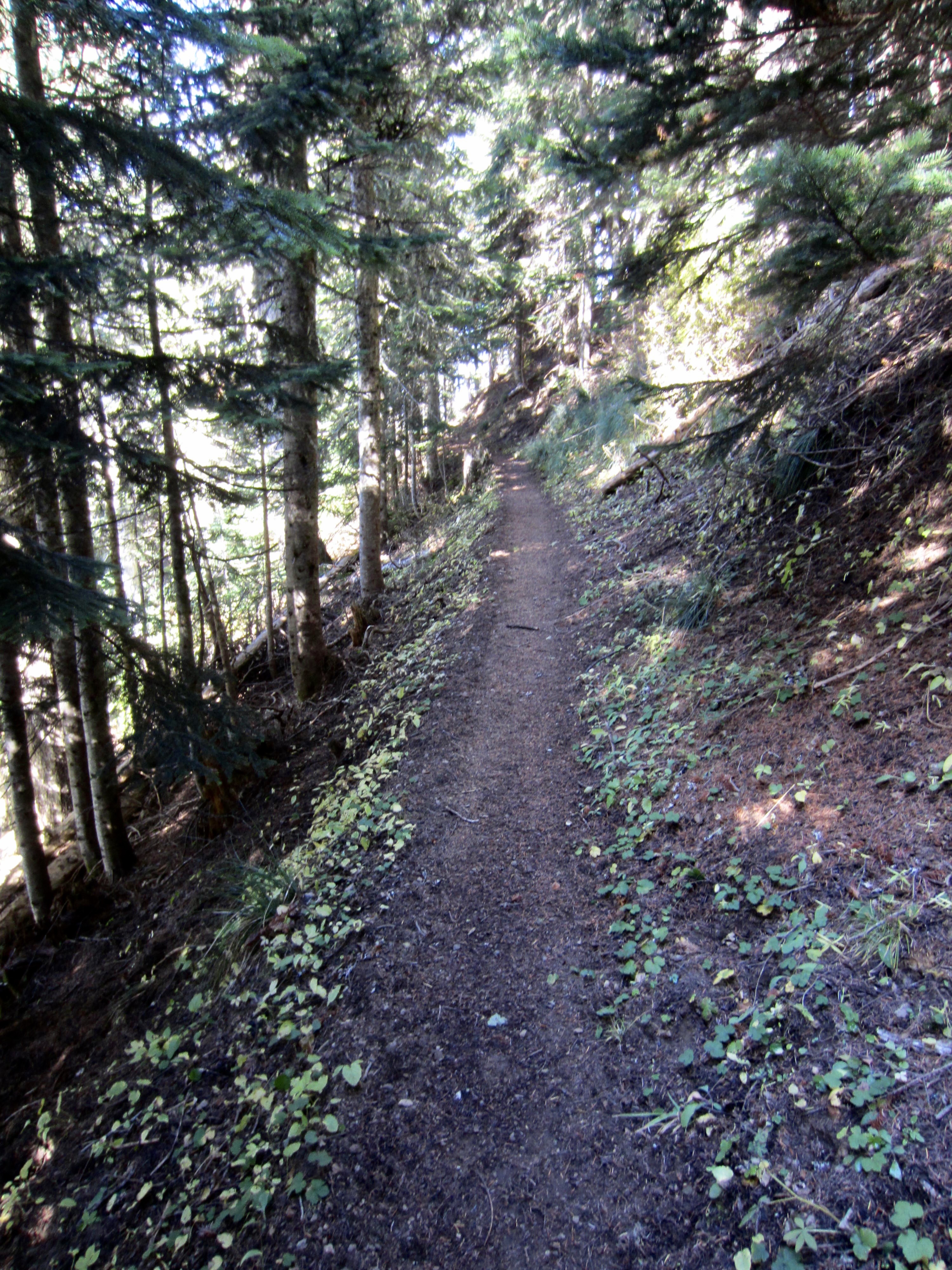
On the northwestern edge of the clearing, look for an unmarked trail leading into the forest. This is the northbound Pacific Crest Trail (PCT) and serves as a key link between the two separate roadway networks used by the Pyramid Creek Bike Loop. Because bicycles and other mechanical modes of transportation are prohibited on the PCT, you will need to push your bike for the next mile. I believe that pushing a bike along the PCT meets the intent of the regulation, but we’re operating in a gray area here, so please resist any urge to ride your bike. On a positive note, I’ve found it very easy to push my bike along this trail segment.

.
.
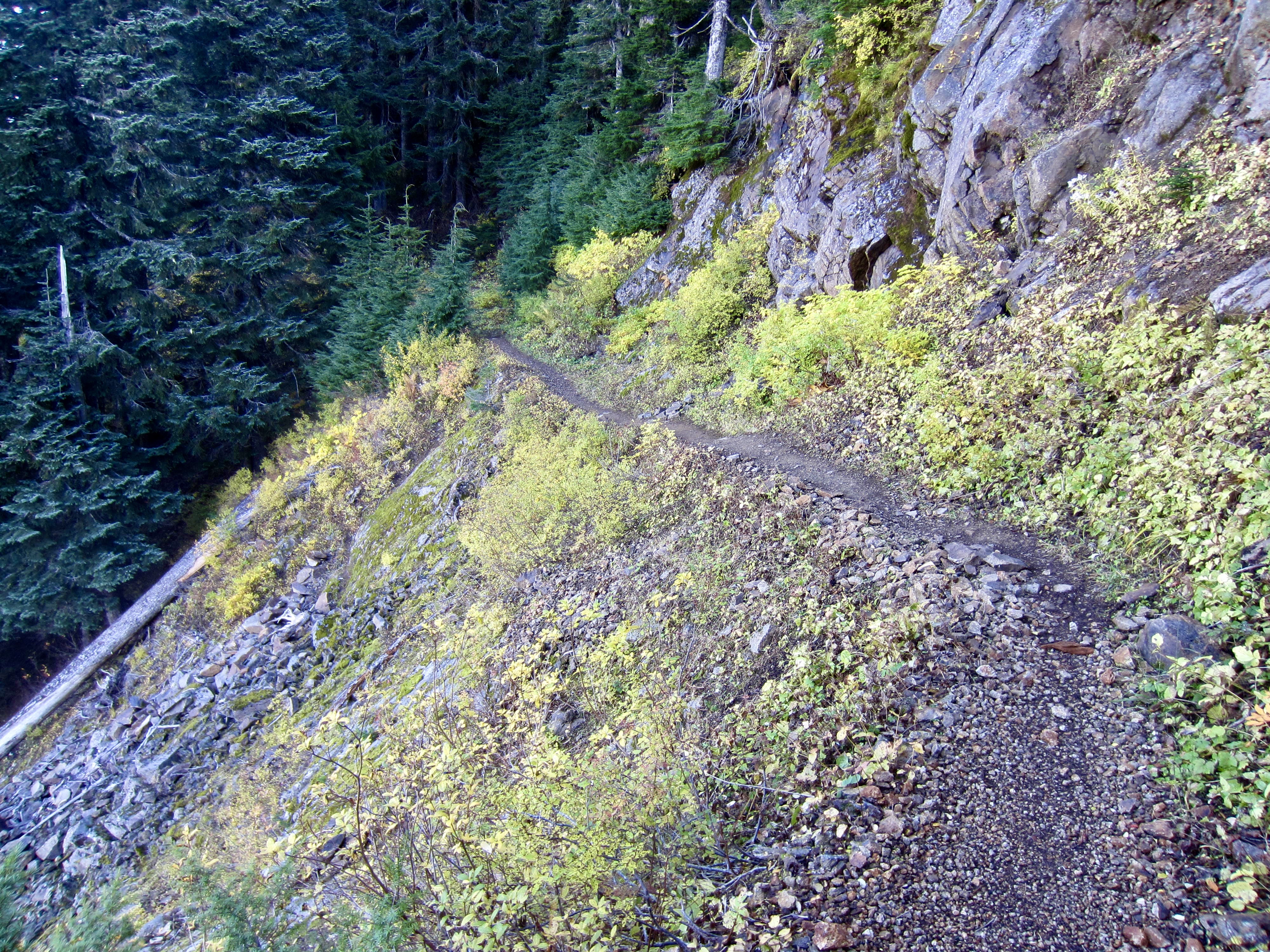
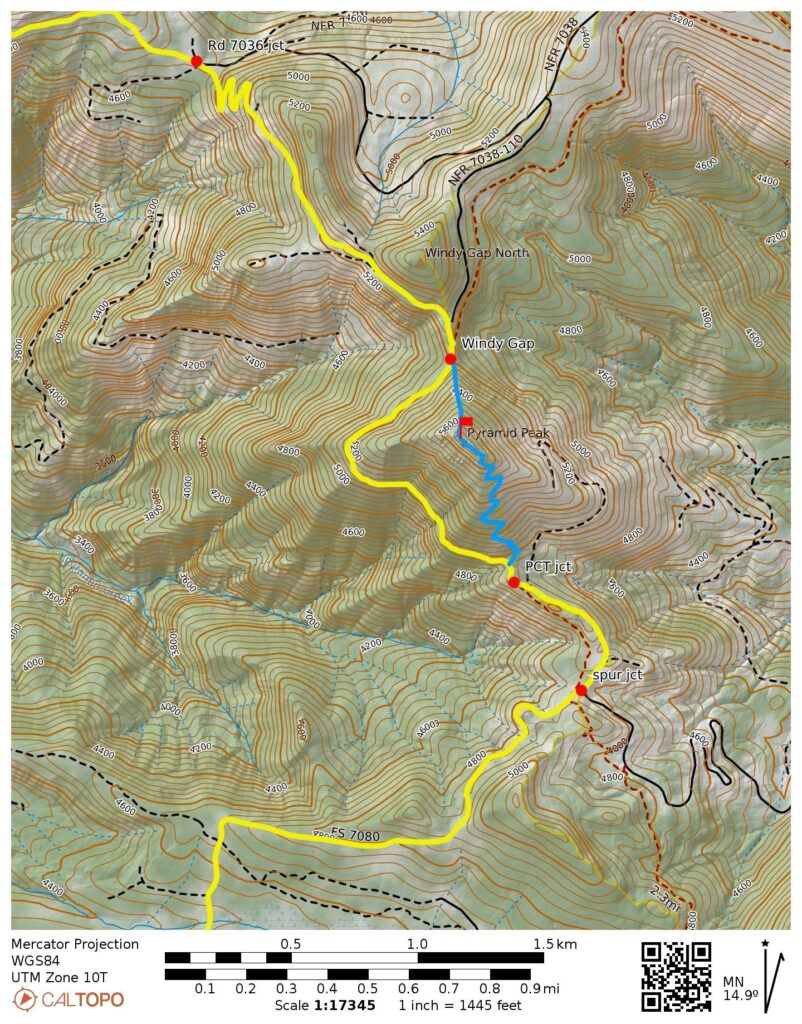
The PCT traverses around the western flank of Pyramid Peak and then crosses over the Cascade crest at Windy Gap on the northern side of the peak. Rather than following the PCT off to the right, look for a bootpath that veers slightly to the left. Follow this bootpath across the hillslope for 100 yards until reaching the gravel-surfaced Windy Gap Road (9.3 miles + 2950 feet from starting point).
.
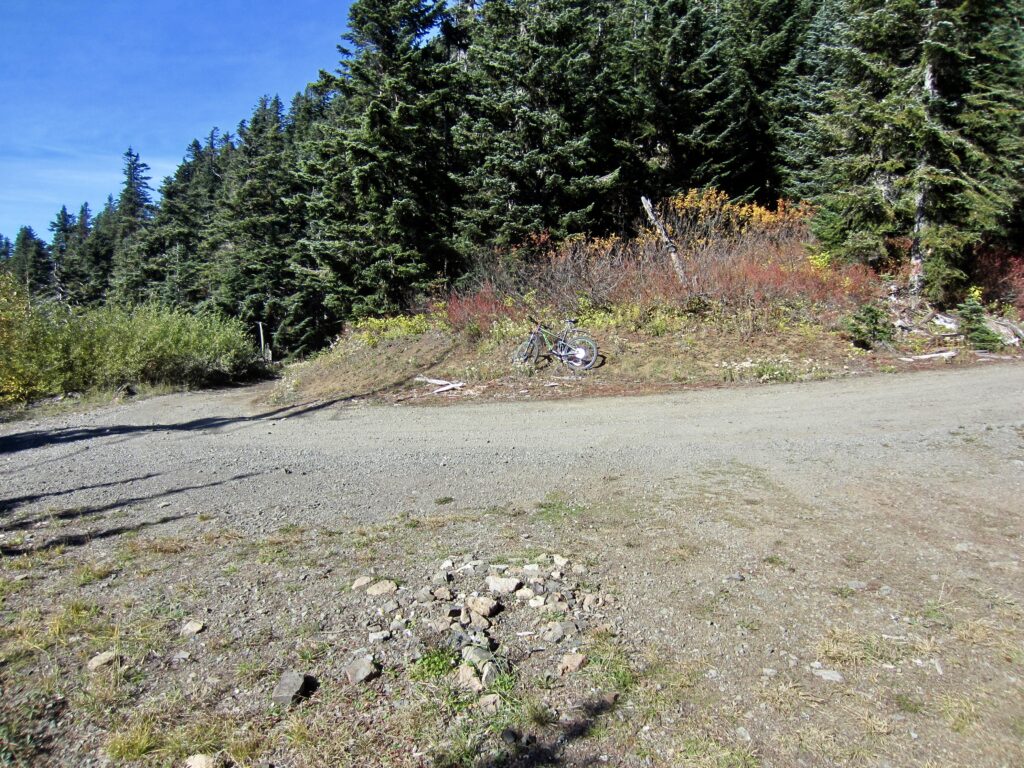
Hop back on your bike and head downhill to the left (northwest) on Windy Gap Road. In a short ¼ mile, you will arrive at a trifurcation point created by two closely spaced forks in the road. Go right (uphill) at the first fork, then go left (downhill) at the second fork. You are now at the highest elevation of the bike loop (5320 feet), so it is mostly (but not entirely) downhill from here.
.
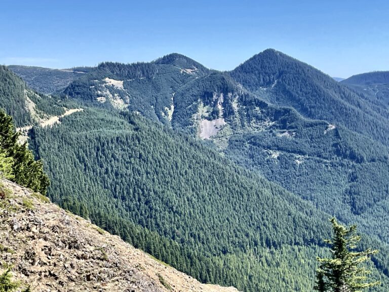
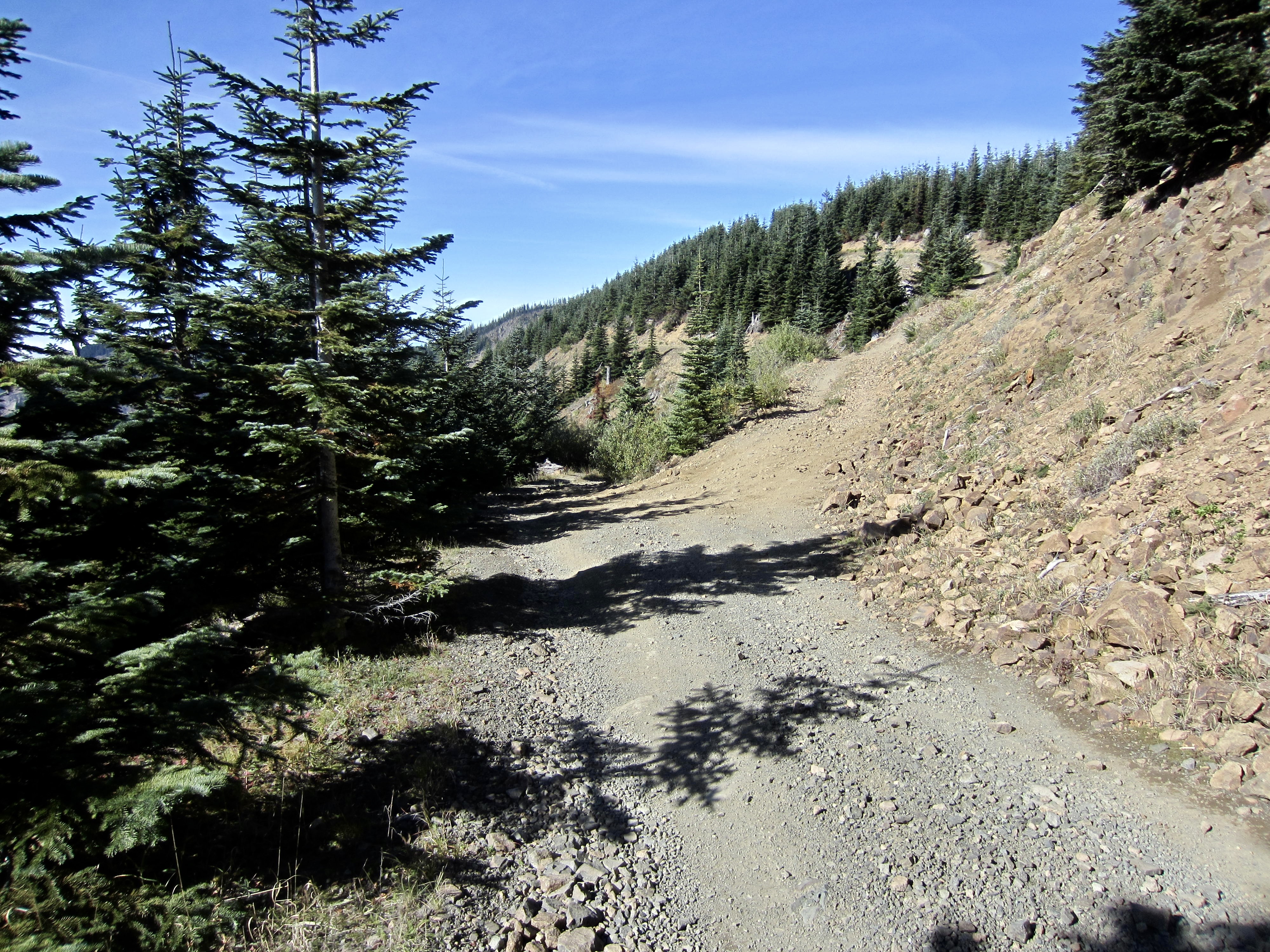
Windy Gap Road becomes very rocky and rough as it makes a descending traverse across a steep hillslope high above the head of Pyramid Creek. From this high vantage, the rocky summit of Colquhoun Peak and the wooded summit of Pechugh Peak can be seen straight ahead.

.
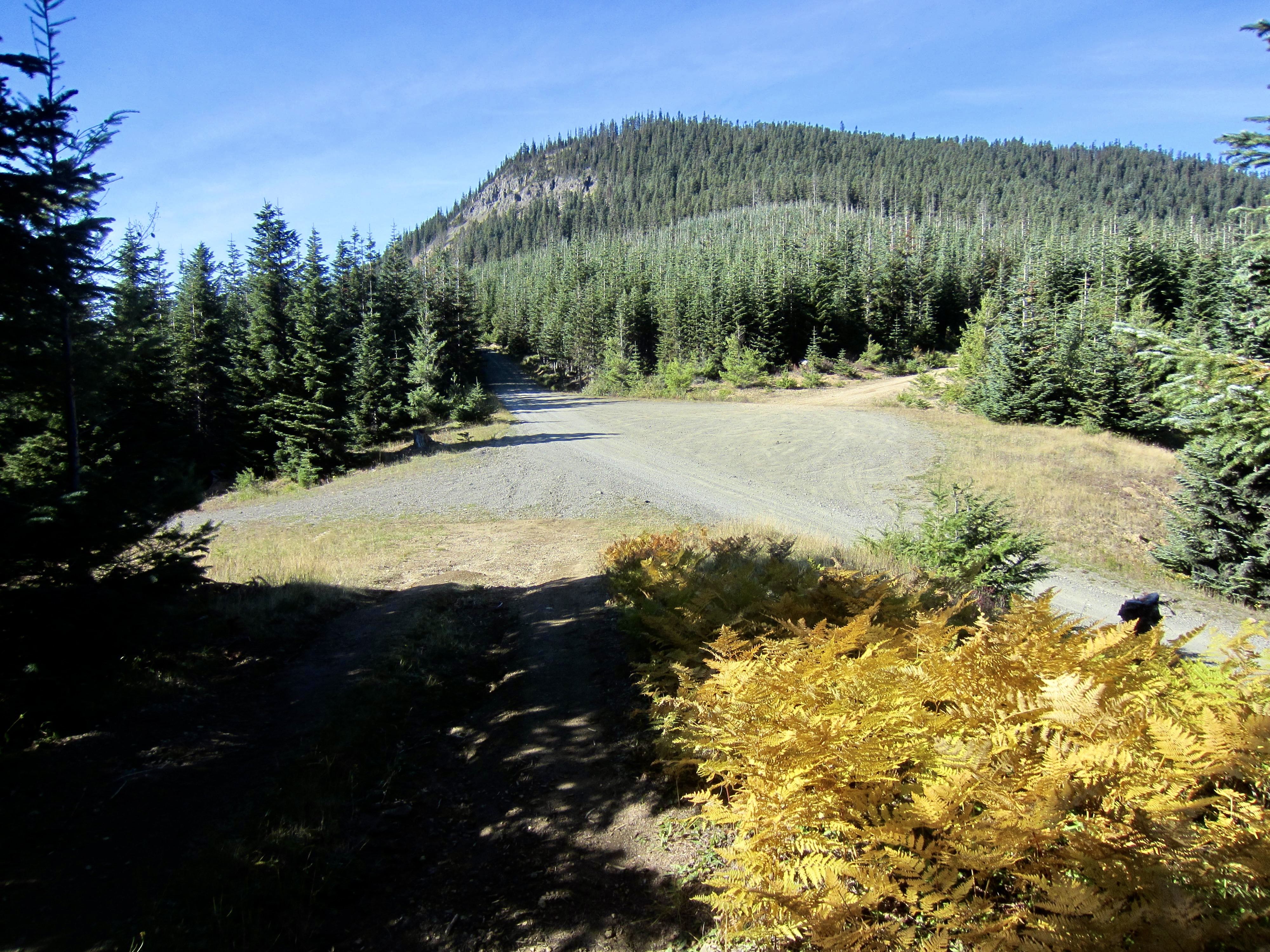
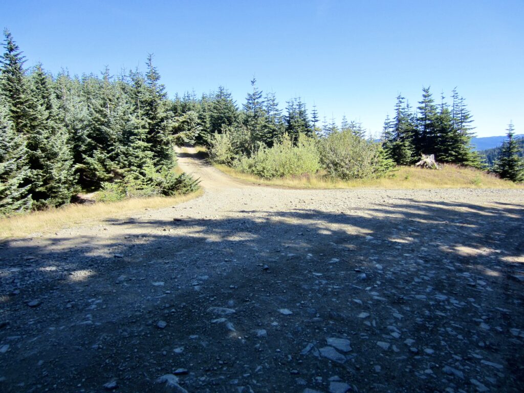
After traversing for ½ mile, Windy Gap Road drops steeply down a ridge nose by means of four tightly spaced switchbacks. The switchbacking descent ends at a broad saddle and a five-way road junction (10.5 miles + 3000 feet from starting point). The wide, gravel road running through this saddle in an east-west direction is Road #7036. Head west on Road #7036 as it gradually climbs out of the saddle for ½ mile and then descends northwesterly into the Twin Camp Creek watershed.

.
.
Road #7036 ends at a low saddle that forms the divide between Twin Camp Creek and Whistler Creek (12.8 miles + 3150 feet from starting point). Veer to the left here and continue descending on Whistler Creek Road #7030, which drops into the valley bottom and eventually crosses Whistler Creek. This two-lane gravel road might invite you to ease off the brakes and let ‘er rip, but the washboard surface would rattle the fillings out of your mouth!
.
.
Road #7030 bottoms out at the Greenwater River Bridge, then ascends a short distance to a junction with Greenwater Road #70 (16.7 miles from starting point). Having just survived several miles of terrible washboard road, the pavement is a welcome sight! Turn left and follow the paved road back up to your starting point at the Greenwater Lakes Trailhead (18.1 miles + 3300 feet for total loop).
Pyramid Peak Lookout Sidetrip
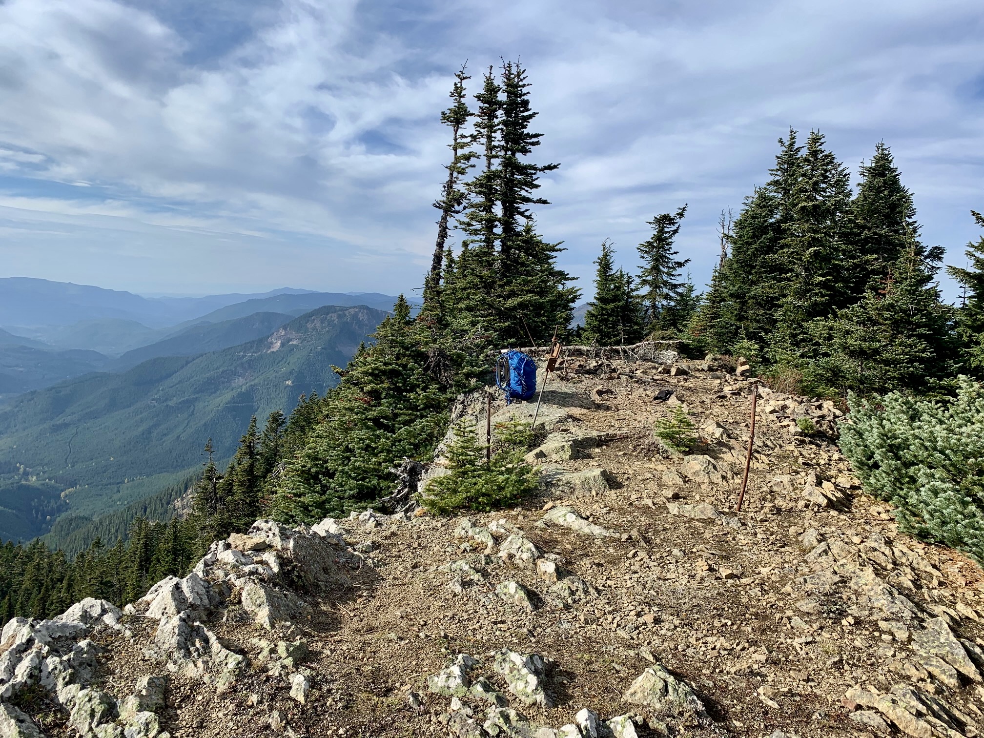
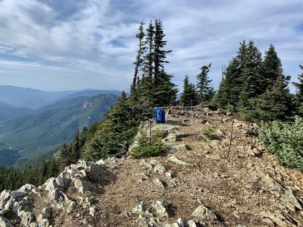
Being the highest point in the immediate region, Pyramid Peak offers an excellent sidetrip for people doing the Pyramid Creek Bike Loop. This 5715-foot summit and former lookout site can be reached via either the south ridge or the north ridge. The south ridge route is easier but slightly longer; it follows the original access trail, which branches off the PCT at a point a few dozen yards north of the terminus of Pyramid Ridge Road and then leads to the summit in about ½ mile + 750 vertical feet. The north ridge route is harder but shorter; it follows a crude bootpath from Windy Gap up through tight trees and reaches the summit in about ¼ mile + 500 vertical feet. See attached map for more information.
.
.
Colquhoun Peak Lookout Sidetrip
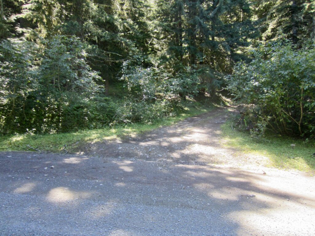
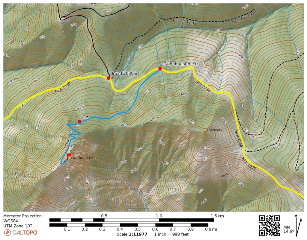
Although not nearly as high and prominent as Pyramid Peak, 5173-foot Colquhoun Peak is still a worthwhile sidetrip for bikers who can appreciate a former lookout site. The summit lookout can be reached via an inconspicuous spur road that branches off from Road #7036 at a point ⅓ mile east of the Road #7030 / Road #7036 junction. This spur road extends upward through deep forest for ½ mile to an unmarked trailhead, and then a fine old trail leads to the woodsy summit. The total distance is 1.1 miles + 900 vertical feet. See attached map for more information.
.
.
.
Route Maps & Profile
…
…
…
…
Photo Gallery
Click to enlarge…