Trip Date: April 30, 2025
North Chukar Mesa Hiking Loop
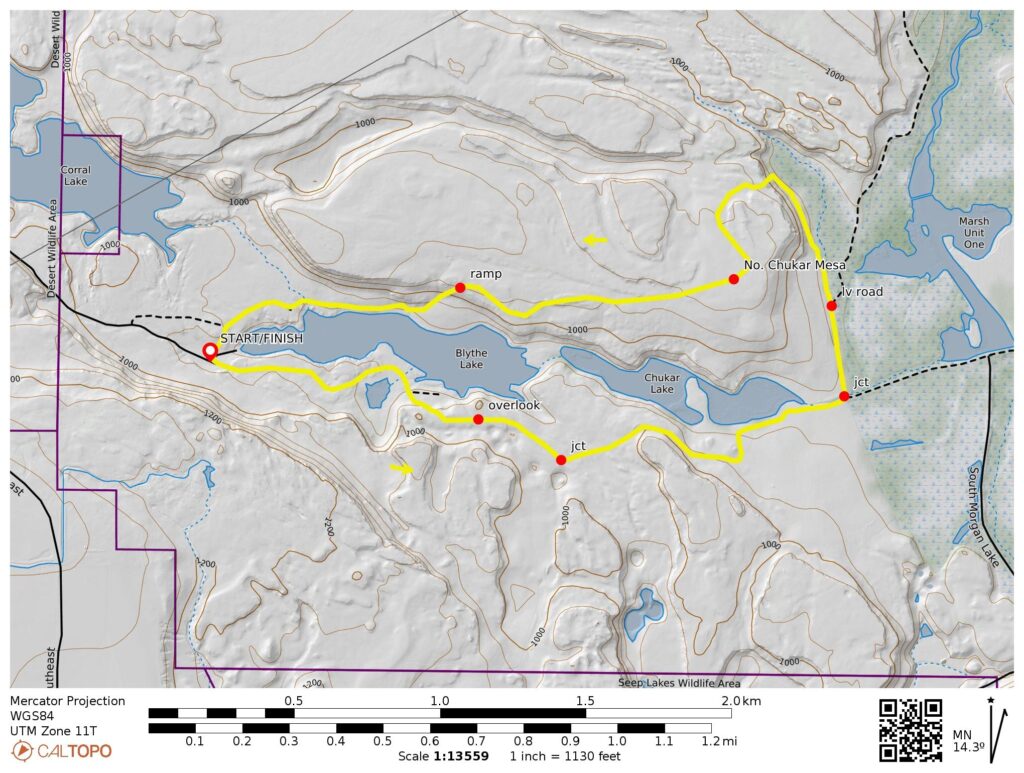
Blythe Lake
Chukar Lake
Marsh Unit One
North Chukar Mesa
Trip Report Summary
Region: Columbia Plateau (Washington)
Sub-Region: Potholes Basin
Area: Columbia National Wildlife Refuge
Starting & Ending Point: Blythe Lake Boat Launch parking lot at end of Corral Lake Road (Elev. 930 feet)
Way Points: Blythe Lake Overlook & Chukar Lake shore & Marsh Unit One Road junction & North Chukar Mesa & Blythe Lake shore & Blythe Lake Boat Launch parking lot (trail hike & off-trail hike)
High Point: Rocky knob on North Chukar Mesa (Elev. 1100 feet)
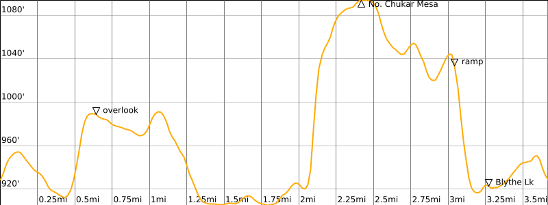
Approximate Stats: 3.7 miles traveled; 300 feet gained & lost; 3.9 hours elapsed.
Full Trip Report
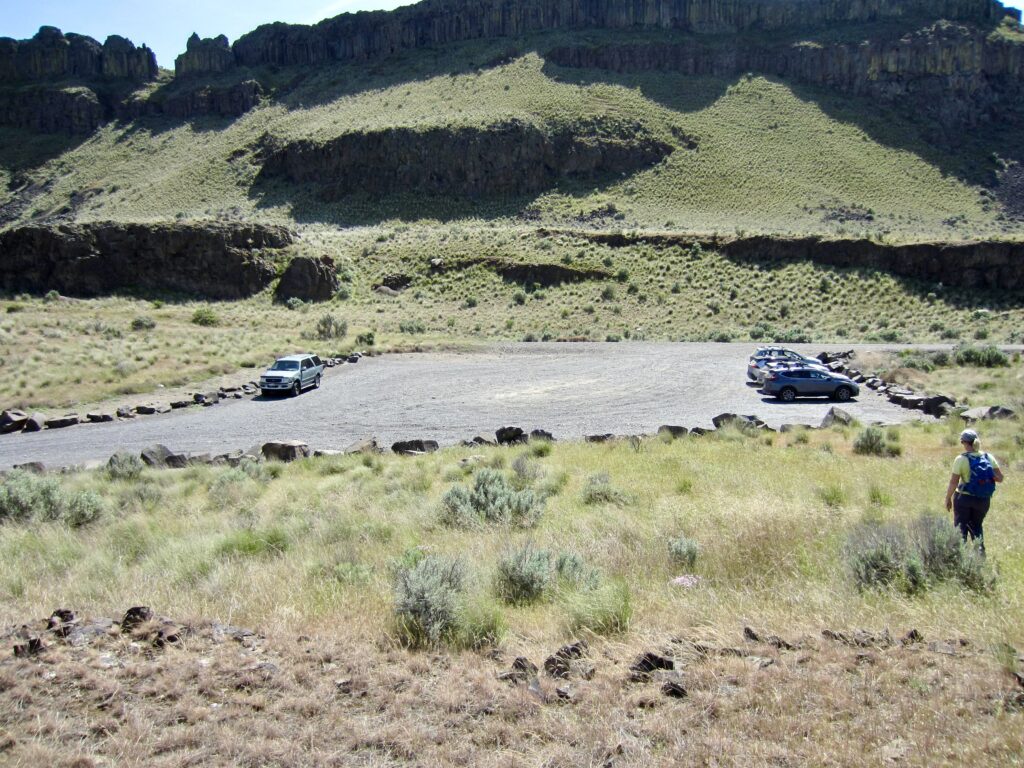
While spending several days at Potholes State Park in Grant County, Eileen and I joined Fay on a nice hiking loop through the Columbia National Wildlife Refuge. We drove out to the Blythe Lake Boat Launch, which is reached from O’Sullivan Dam Road via 1½ miles of wide, gravel roadway. There is a large parking lot here to accommodate numerous fishermen and hikers, but oddly enough, there is no signage of any type. No permits are needed to park or hike.
.
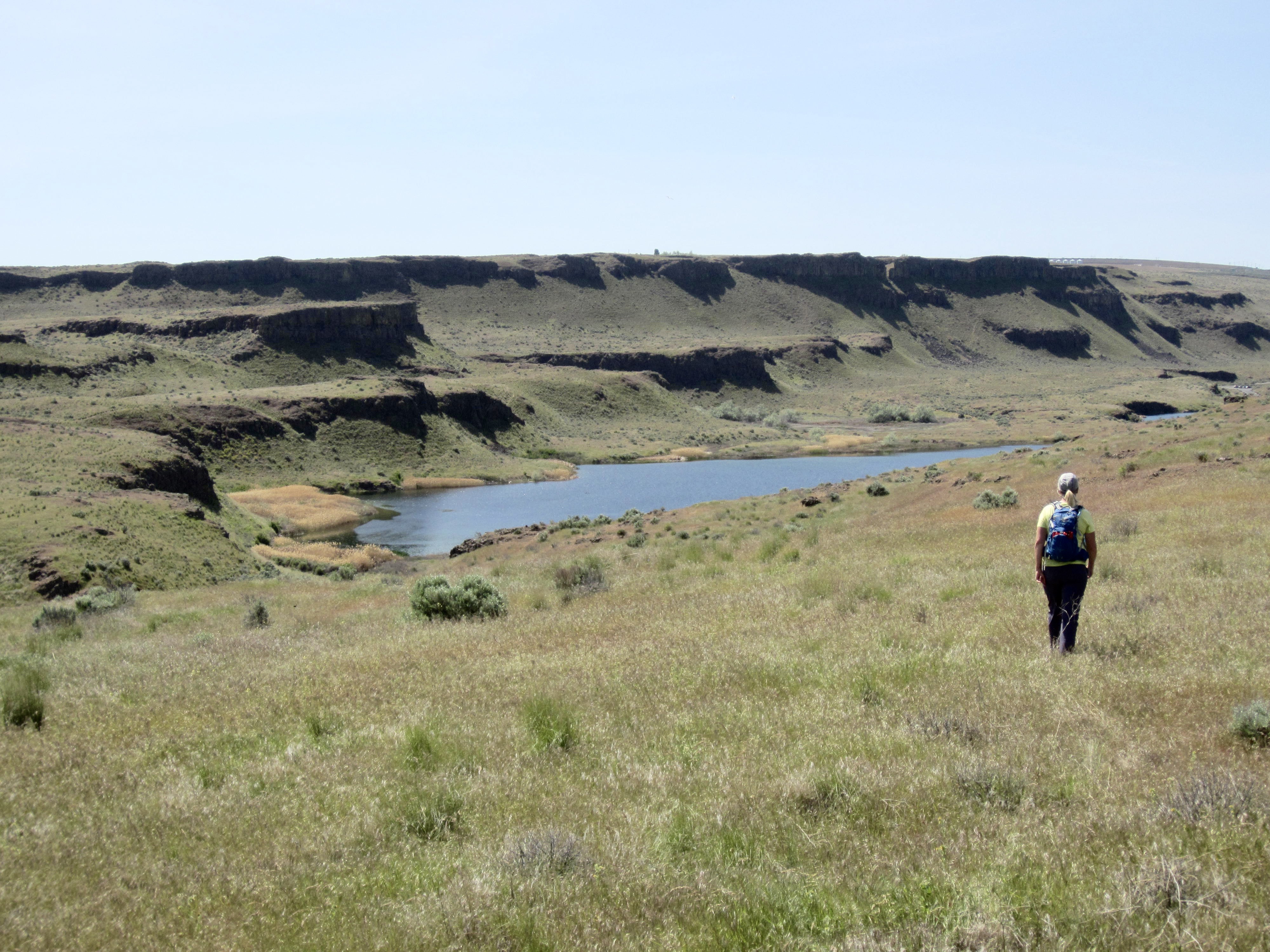
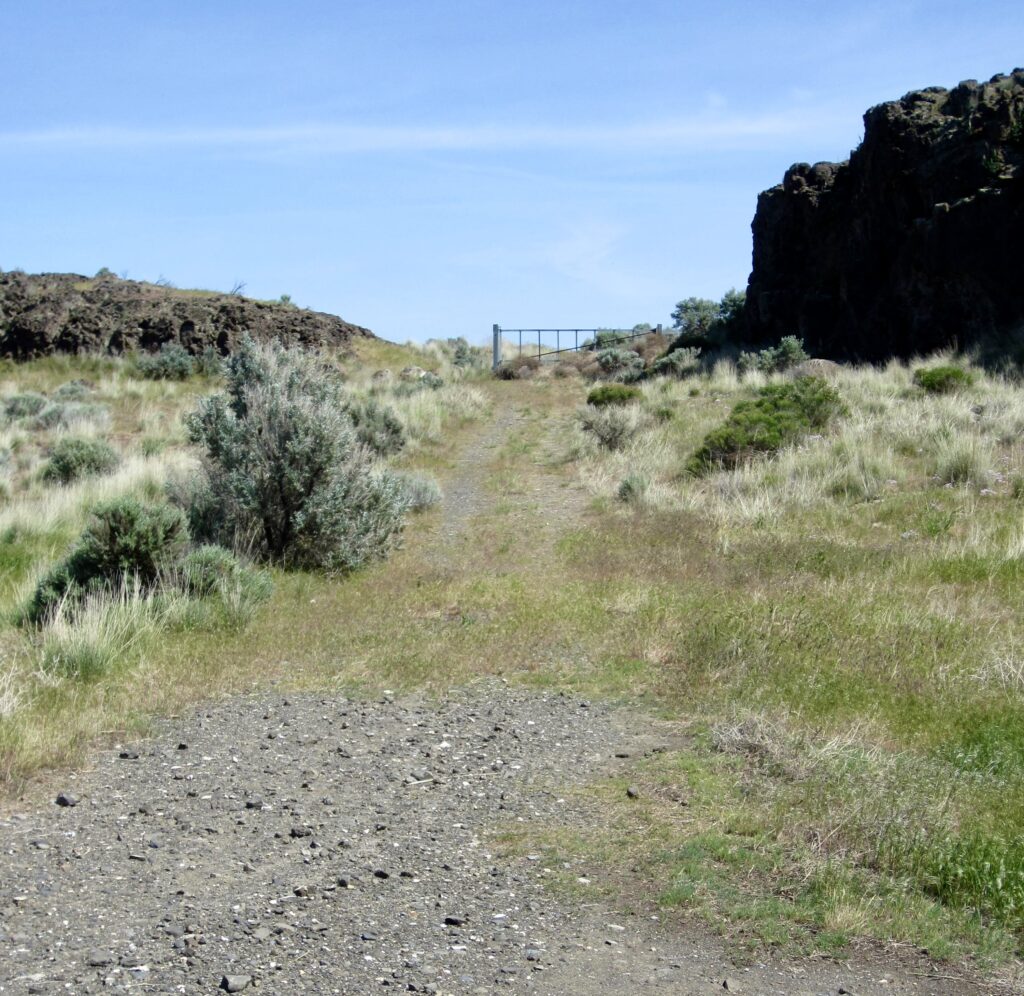
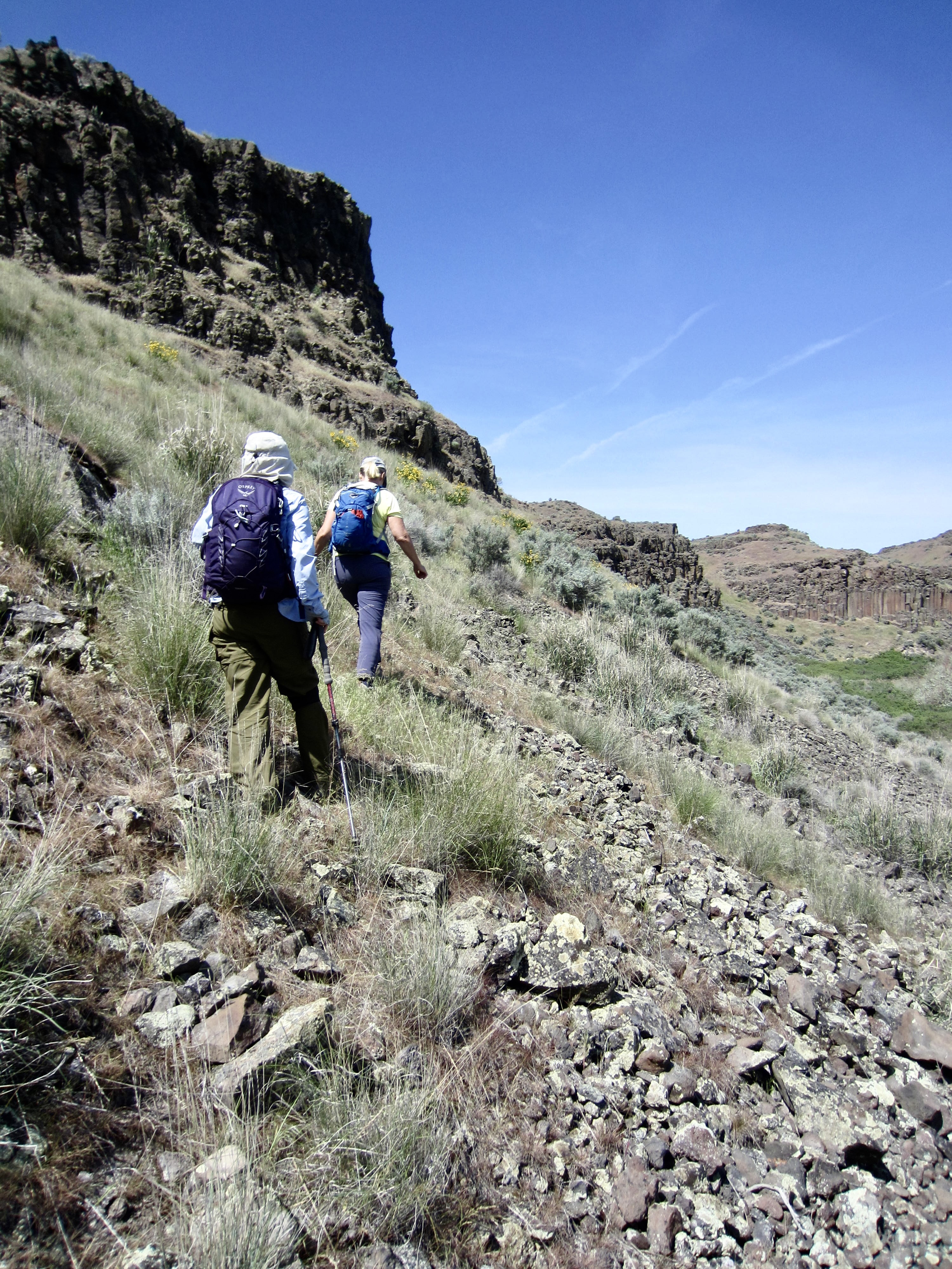
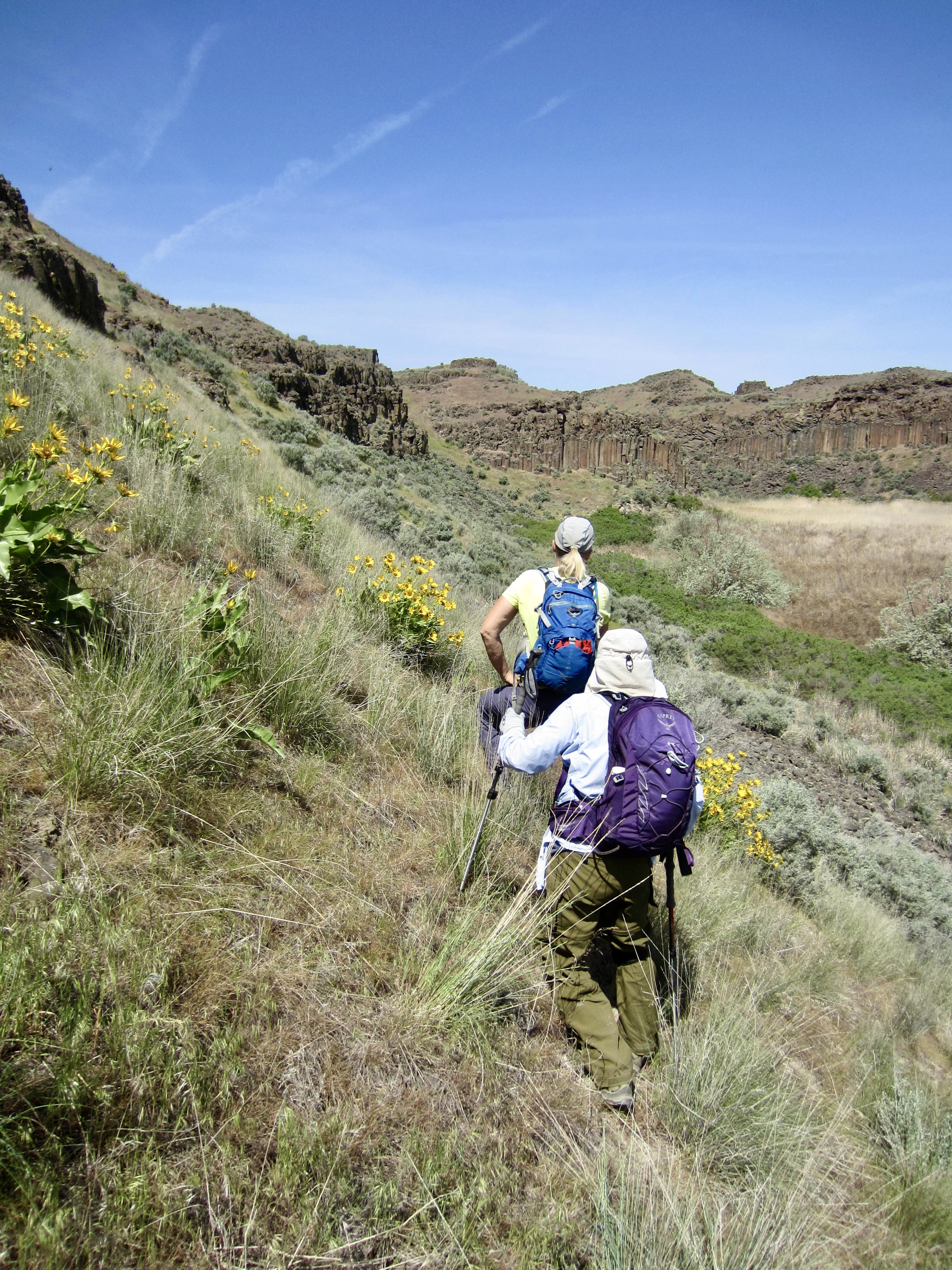
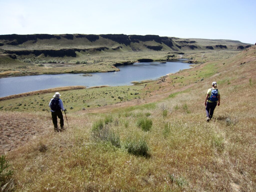
From the parking lot, we hiked eastward up an unmarked dirt road, went around a vehicle gate, and then continued traversing above the southern shore of Blythe Lake. The informal trail along this undulating route comprises a mixture of single-track bootpaths and double-track Jeep roads that run along sloping terraces positioned between multiple tiers of basalt colonnades.
.
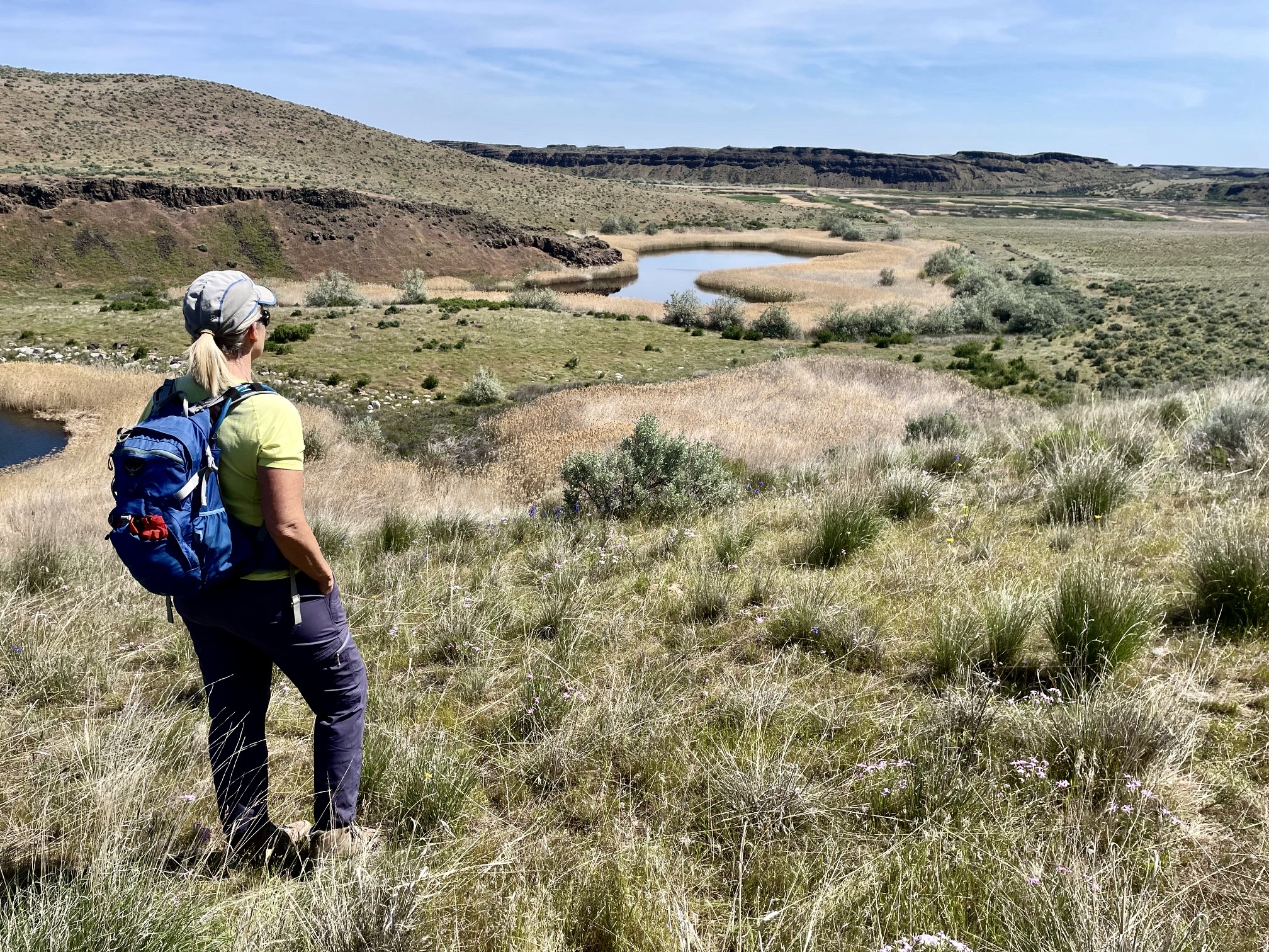
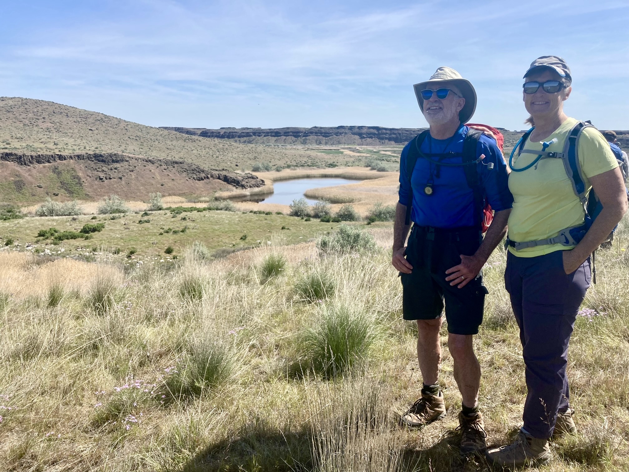
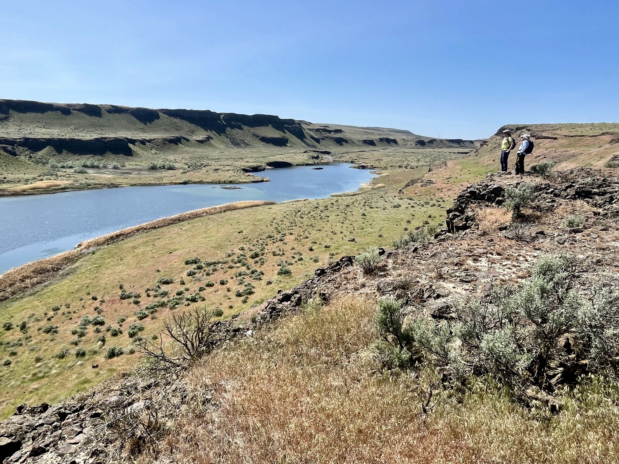
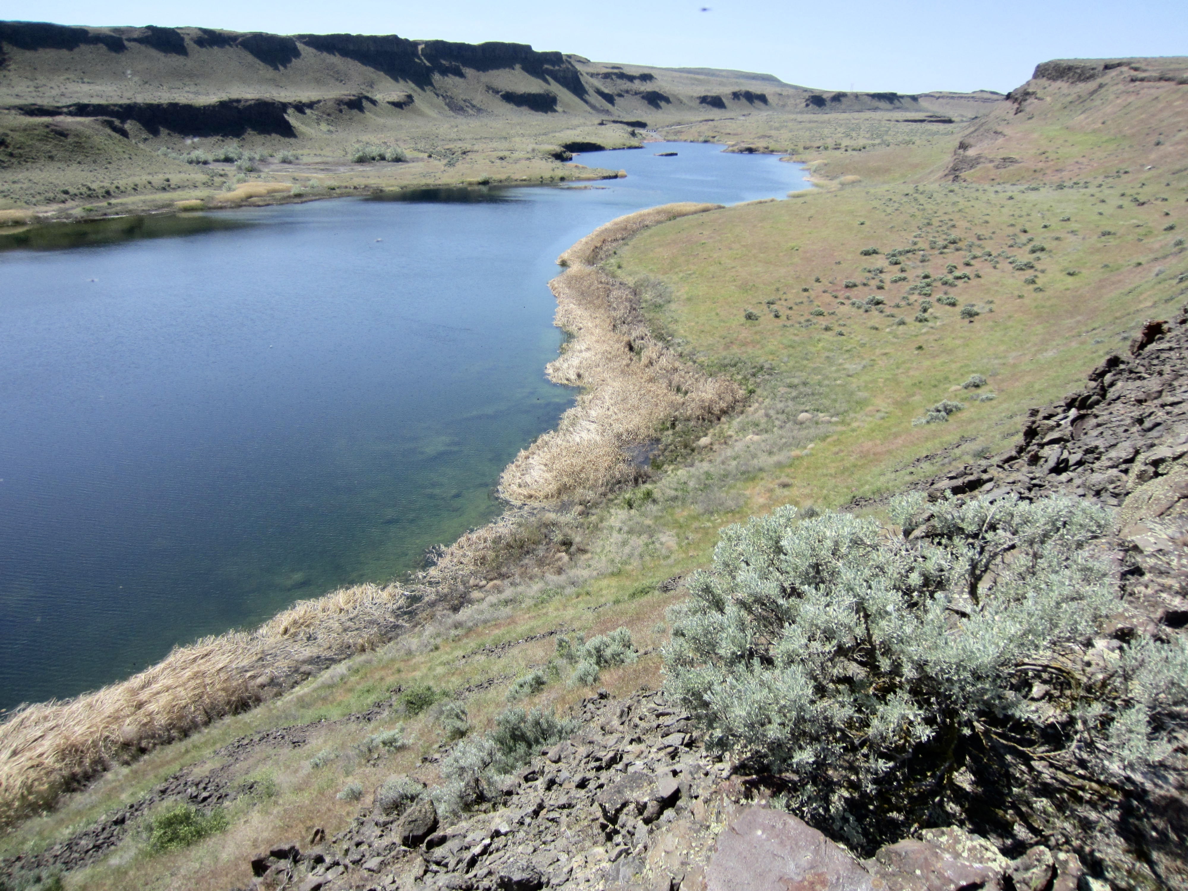
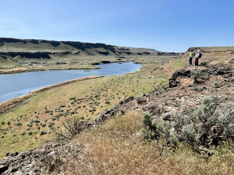
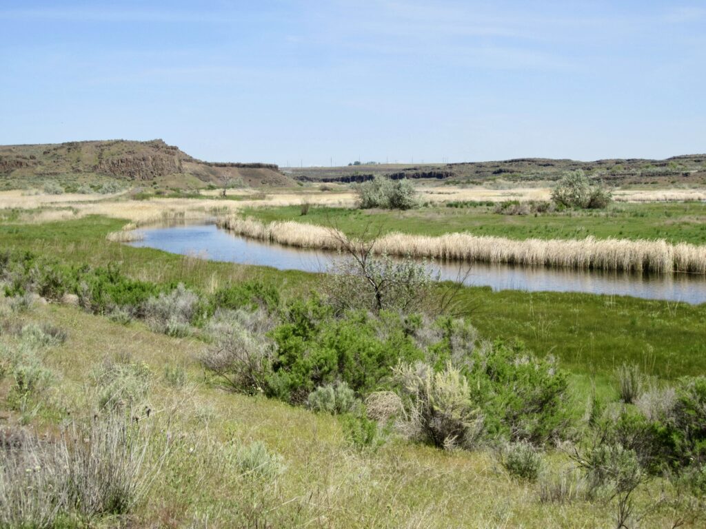
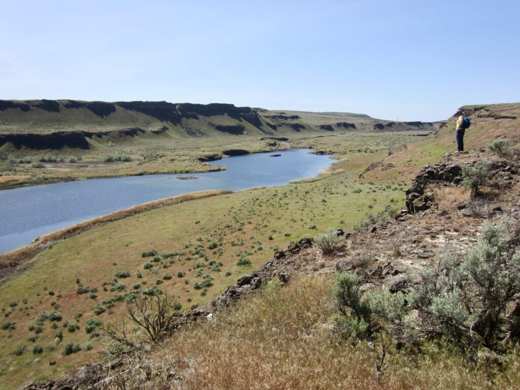
The eastern end of Blythe Lake snugs up against the western end of Chukar Lake, with a flat, grassy isthmus separating the two. Our trail took us to a high overlook that provides good views of both lakes. These beautiful mile-long pothole lakes—only two of hundreds in the Potholes Basin—consist of natural depressions that were carved by the ancient Missoula floodwaters and subsequently fed by groundwater springs. Blythe Lake features a strikingly white “bathtub ring” of calcium deposits around its cliffy shore, whereas Chukar Lake is surrounded by dense swaths of reeds and cattails.
.
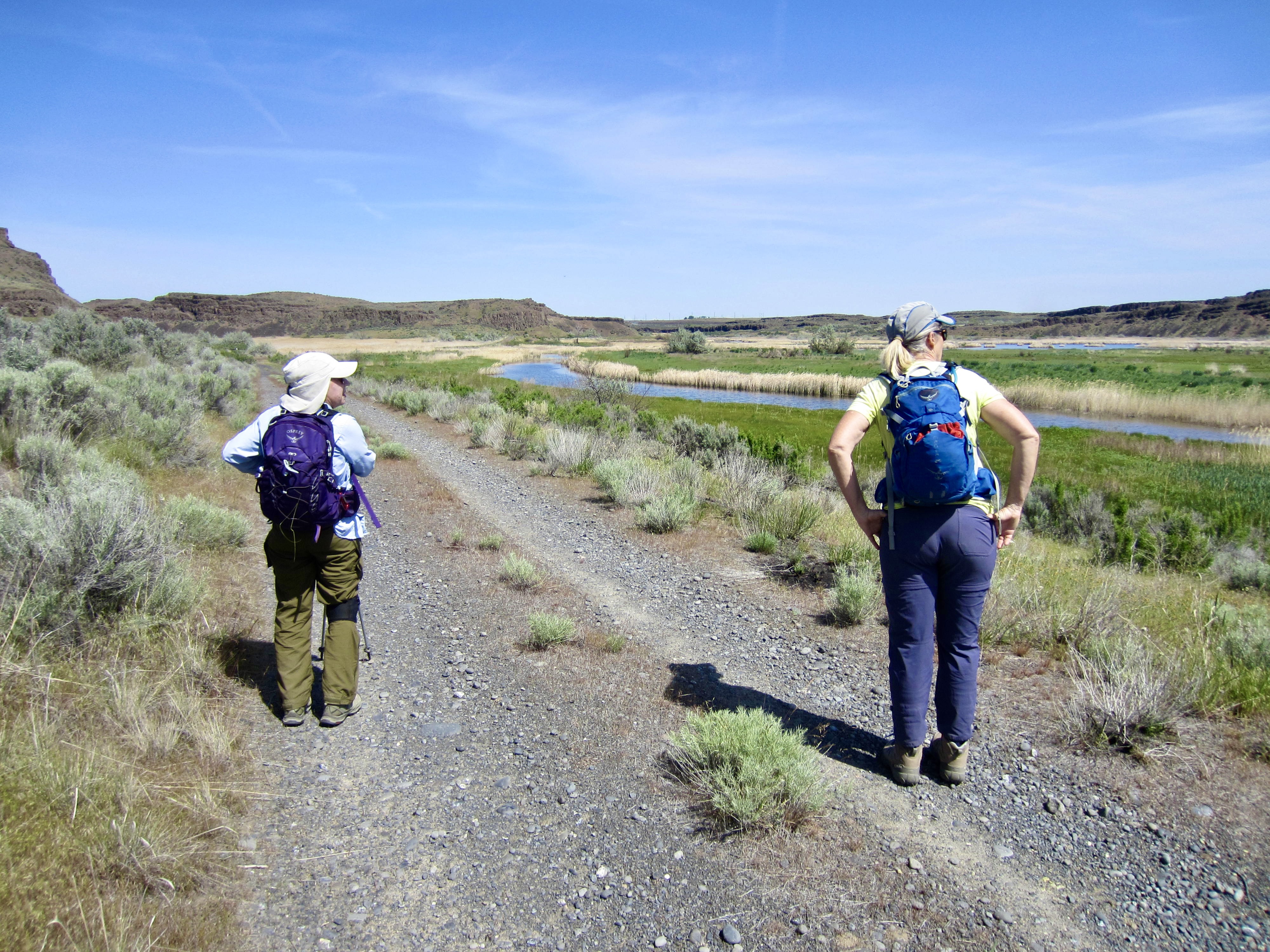
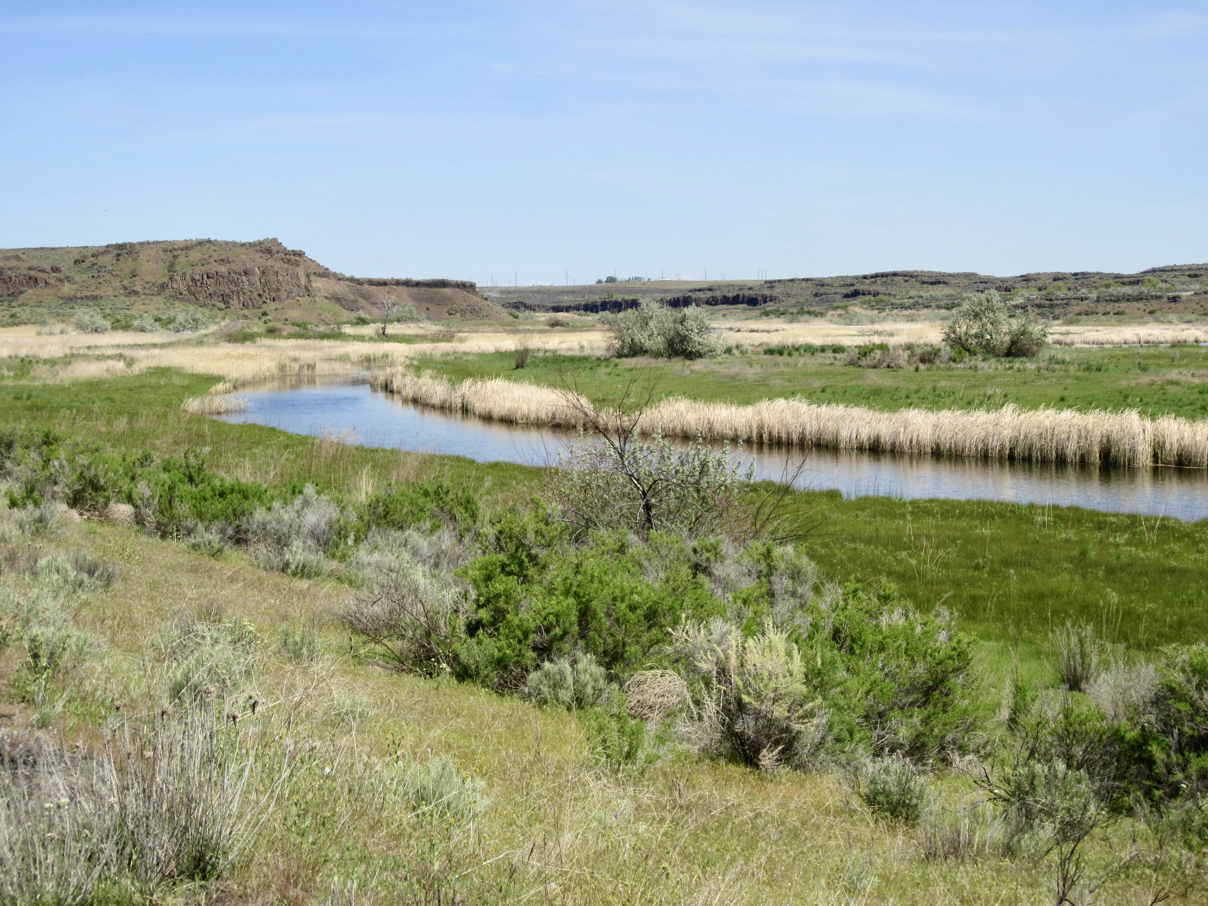
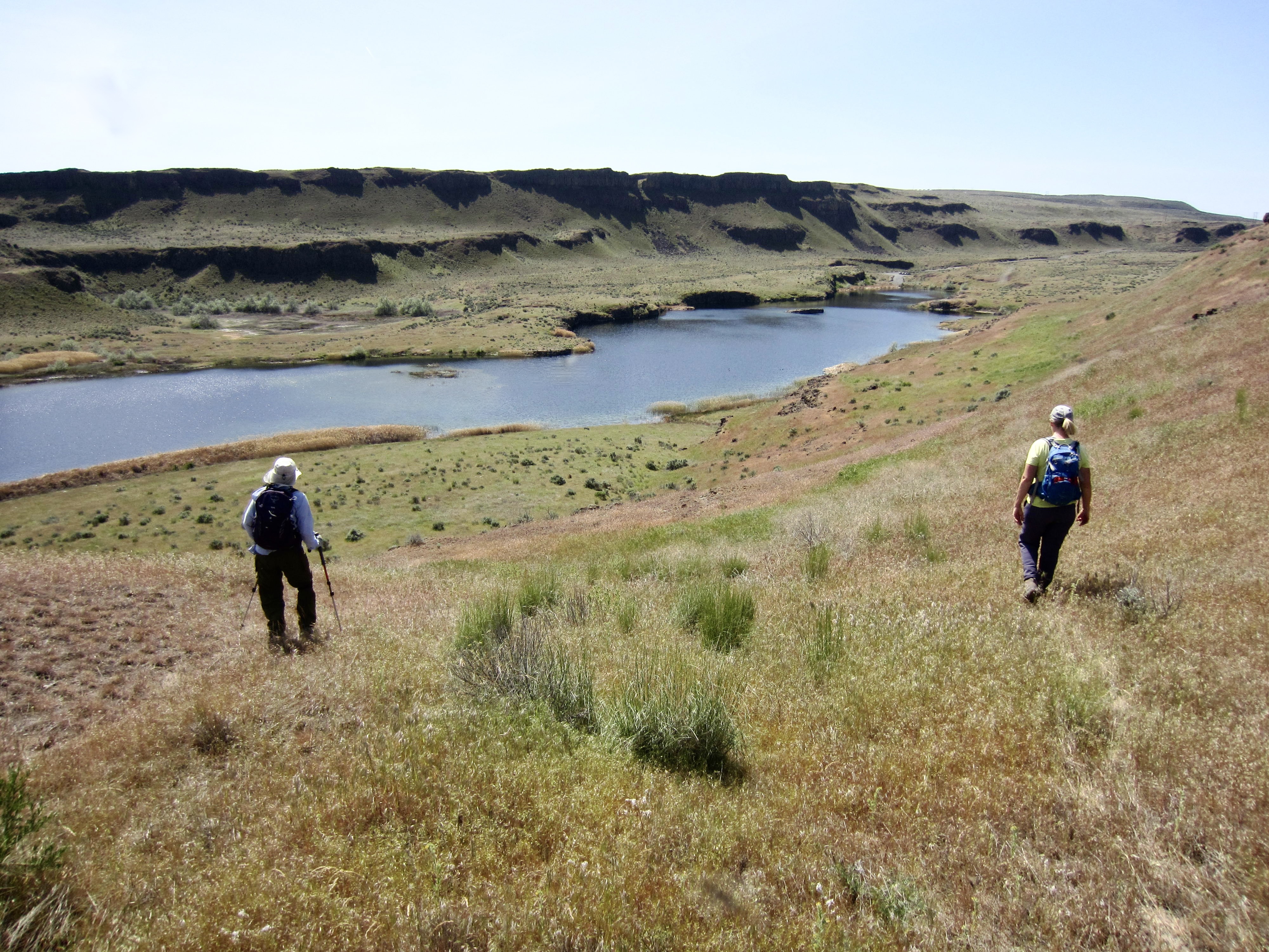
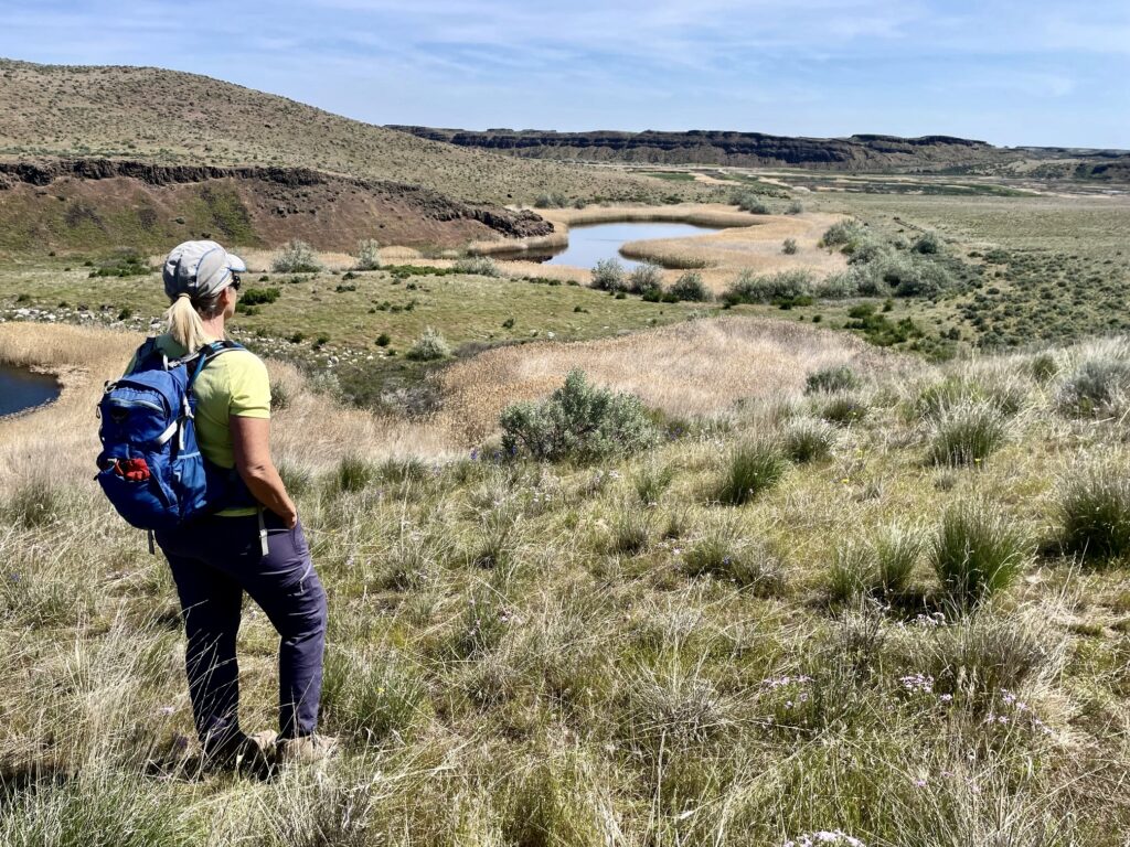
More single-track and double-track trails led us down from the overlook and then past Chukar Lake until intersecting a gravel road at the lake’s eastern end. Turning left here, we followed the road northward along the edge of a large waterfowl refuge called Marsh Unit One.

.
.
When the road veered toward the right (northeast), we angled leftward up a moderately steep slope of grass, sagebrush, and talus. This took us to the top of North Chukar Mesa, which rises 200 feet above the northern sides of Blythe and Chukar Lakes.
.

.
The mesa offered fairly easy travel, as well as views across the top of the vast Columbia Plateau extending in all directions. Chukar and Blythe Lakes could be seen directly below. We stopped for lunch on a rocky knob, where a gentle breeze took the edge off the hot desert sun.
.

.
We traversed along the mesa rim until able to angle down a grassy ramp that ended near the midpoint of Blythe Lake. From there, it was merely a pleasant stroll over to our starting point (3.9 hours + 3.7 miles + 300 feet total loop). For anyone looking to do a scenic half-day hike in Potholes Basin and willing to venture off trail, this would be an excellent choice!
.
Route Map & Profile
…
…
Photo Gallery
Click to enlarge…