Trip Date: October 18, 2025
2025 MT. CHARLESTON ADVENTURE VACATION
Griffith Peak Day Hike
Griffith Canyon
Echo Overlook
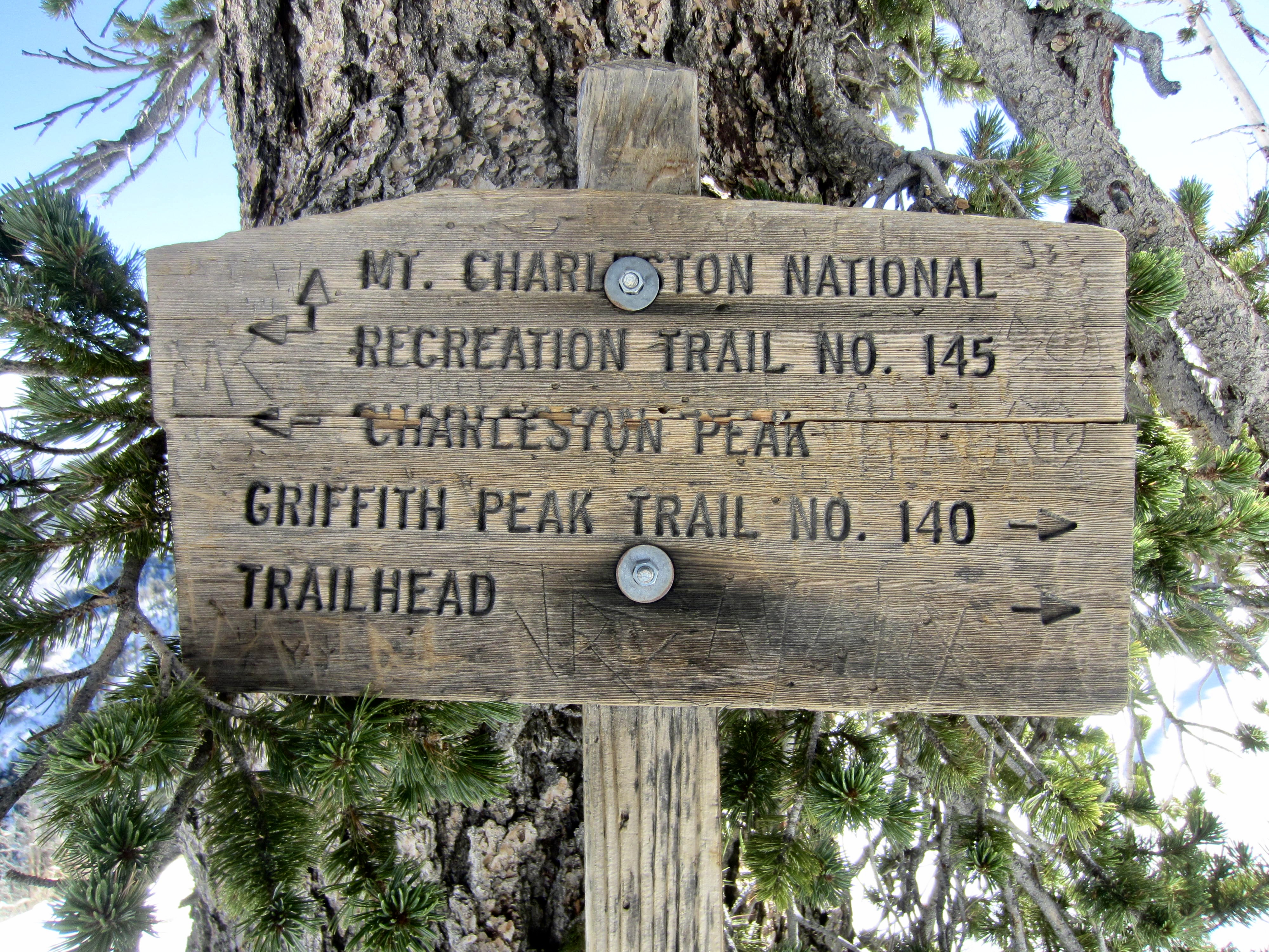
Griffith Junction
Griffith Peak (11,060 ft)
Trip Report Summary
Region: Nevada
Sub-Region: Spring Mountains
Areas: Spring Mountains National Recreation Area & Mt. Charleston Wilderness
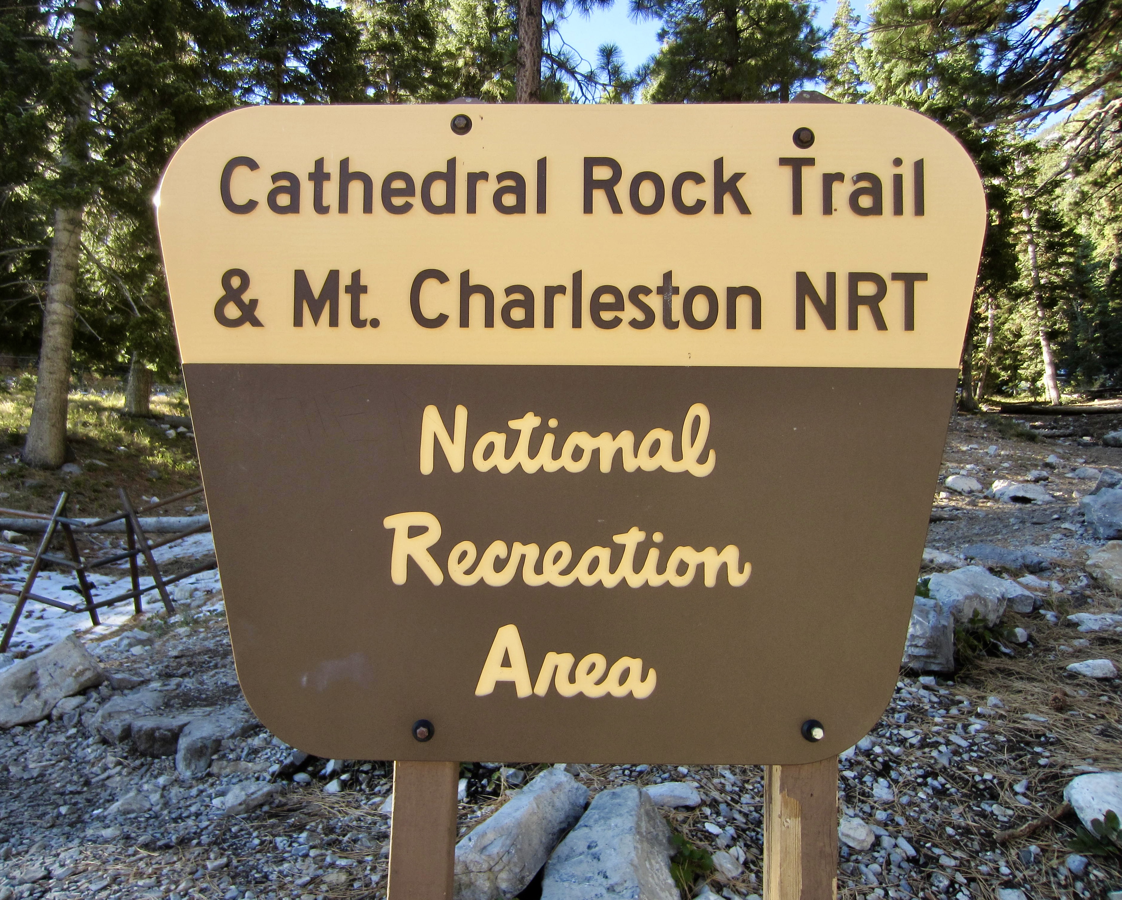
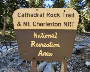
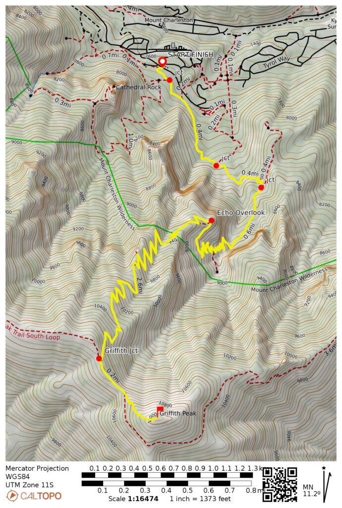
Starting & Ending Point: Cathedral Rock / South Loop Trailhead on Kyle Canyon Road #157 (Elev. 7650 feet)
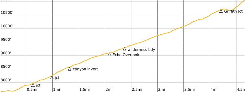
Way Points: South Loop Trail junction & Griffith Canyon invert crossing & Echo Overlook & wilderness boundary & Griffith Junction / Mt. Charleston ridge crest & Griffith Peak summit (trail hike & snow hike)
Summit: Griffith Peak (trail hike & snow hike via Northwest Ridge)
Approximate Stats (round trip): 9.3 miles traveled; 3500 feet gained & lost; 6.0 hours elapsed.
Full Trip Report
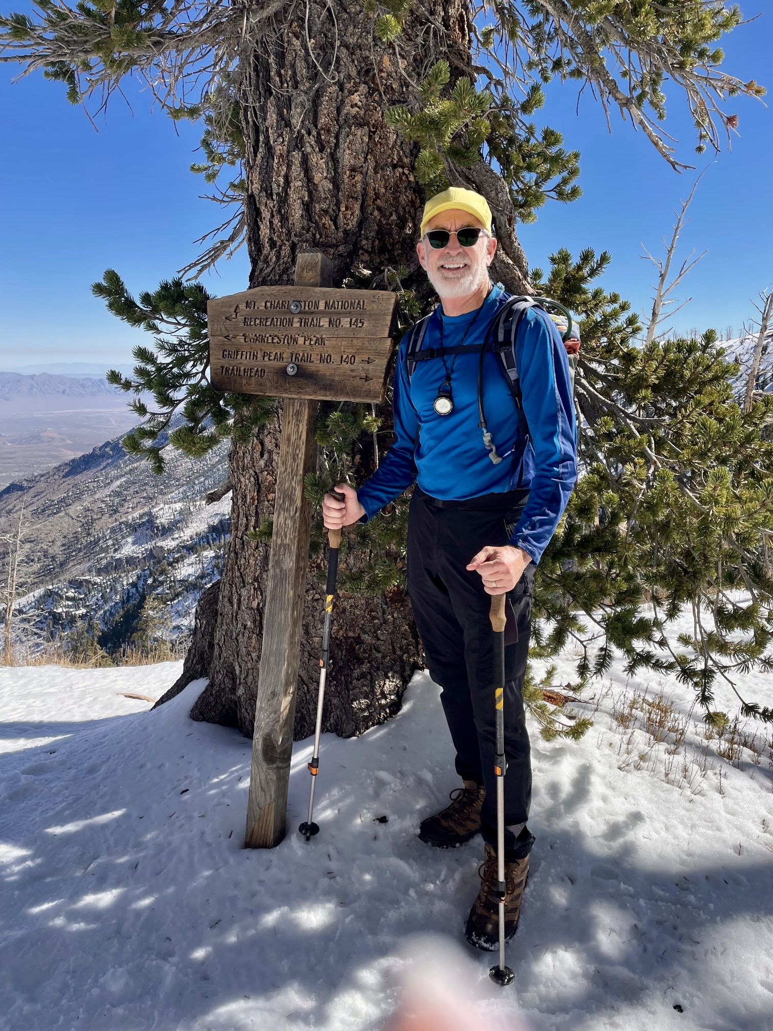
While Eileen and I were staying at Fletcher View Campground in Kyle Canyon, I made a solo hike up Griffith Peak. This 11,000-foot peak is a notable summit on the Mt. Charleston massif and one of the most popular destinations in the Mt. Charleston National Recreation Area. In fact, I would be tempted to call it “the Mt. Si of Las Vegas” (a reference that only PNW hikers will understand).
On a frigid but sunny Saturday morning, Eileen dropped me off at the crowded Cathedral Rock Trailhead. It was fortunate that we weren’t trying to park here, because there were many vehicles ahead of us waiting for a parking space. It was becoming clear to us that Mt. Charleston is truly a hot spot for Las Vegas hikers!
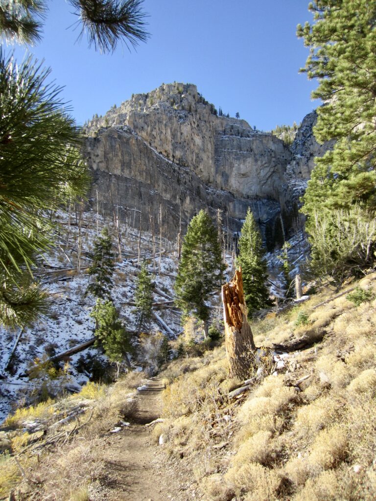
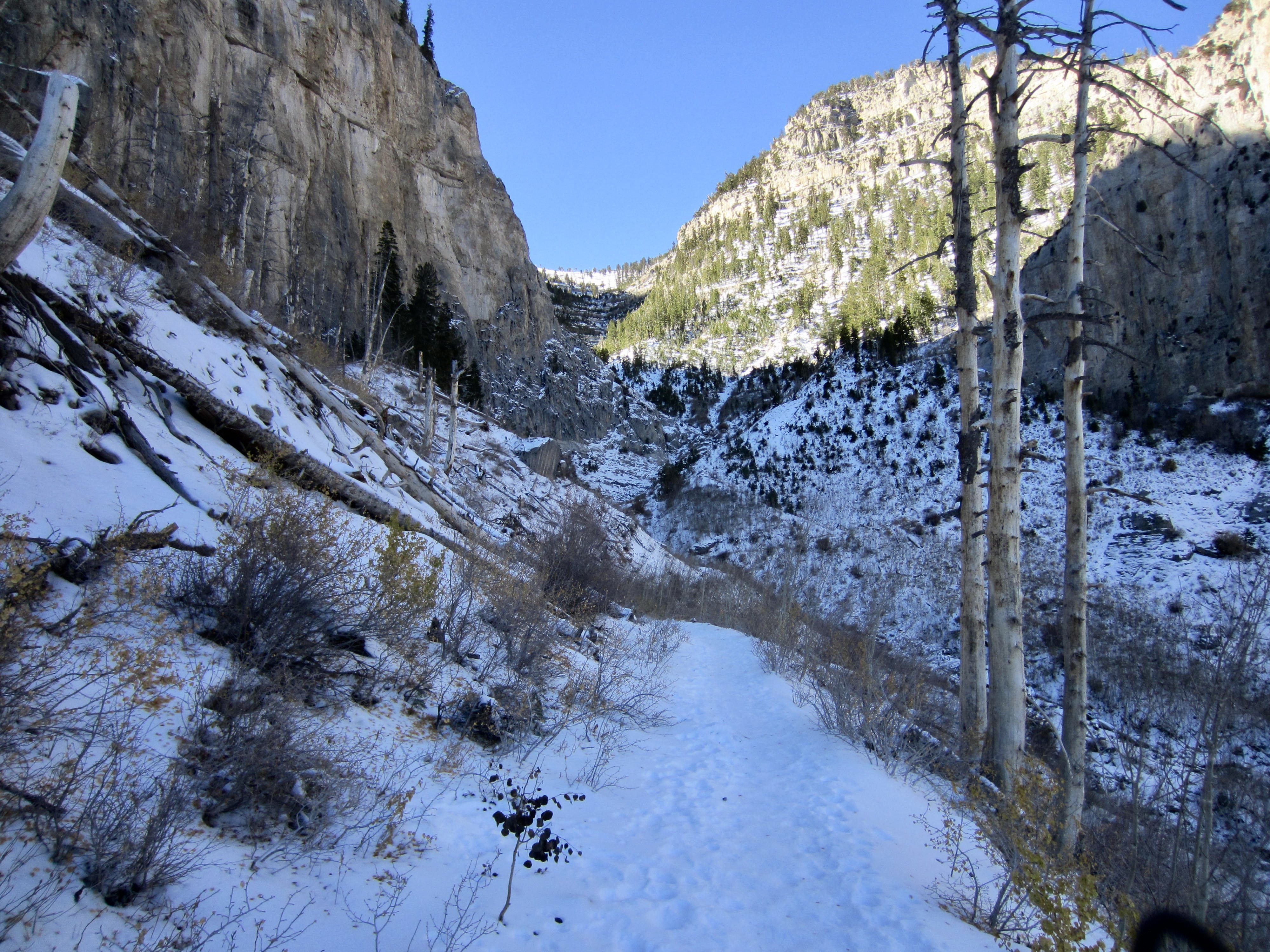
I started hiking up the combined Cathedral Rock / South Loop Trail for a short distance before veering onto the latter trail. This nicely graded trail led me on a southeasterly traverse under Echo Cliff, then it turned south and beelined into Griffith Canyon. Compared to the sunny hillslopes below, the shady canyon felt like an icebox!
.
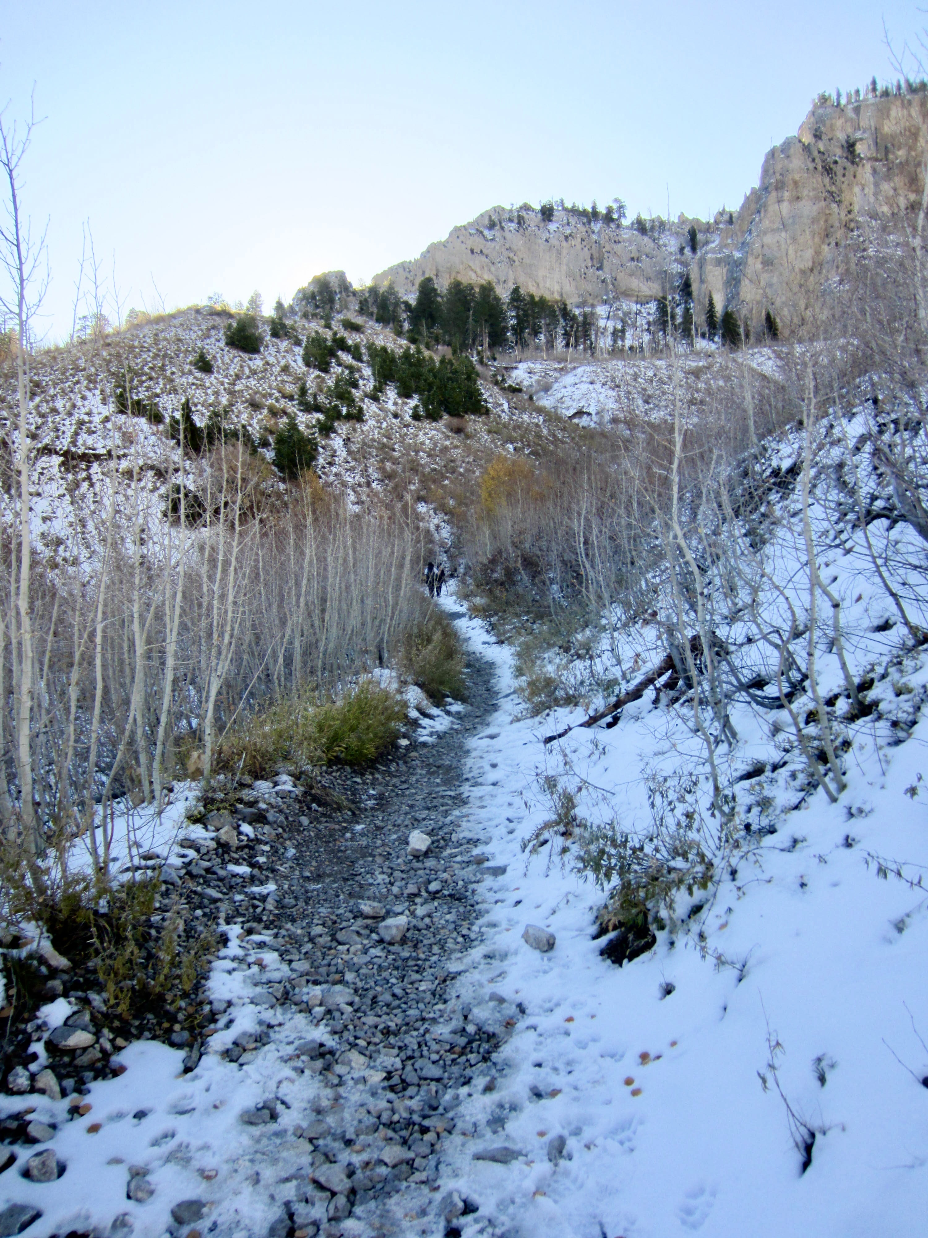
The South Loop Trail was initially bare and dry but gradually became covered with rock-hard snow and ice. I struggled for traction on even the slightest incline—as did nearly all of the other hikers heading up or down the trail. Now I really wished that I’d brought my microspikes from home! When several descending hikers warned me that conditions ahead were even worse, I thought about turning around.
.
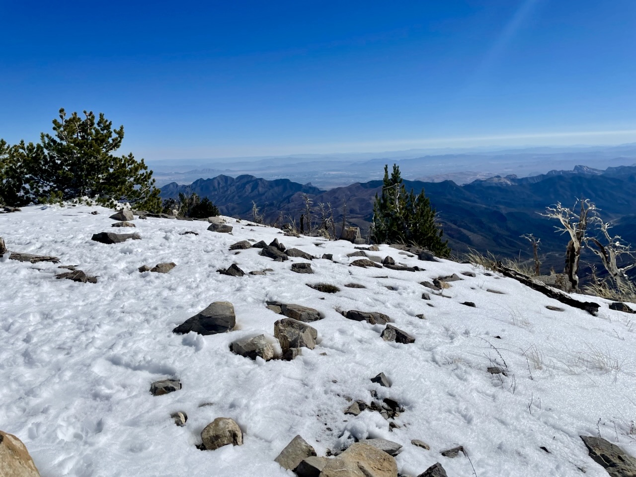
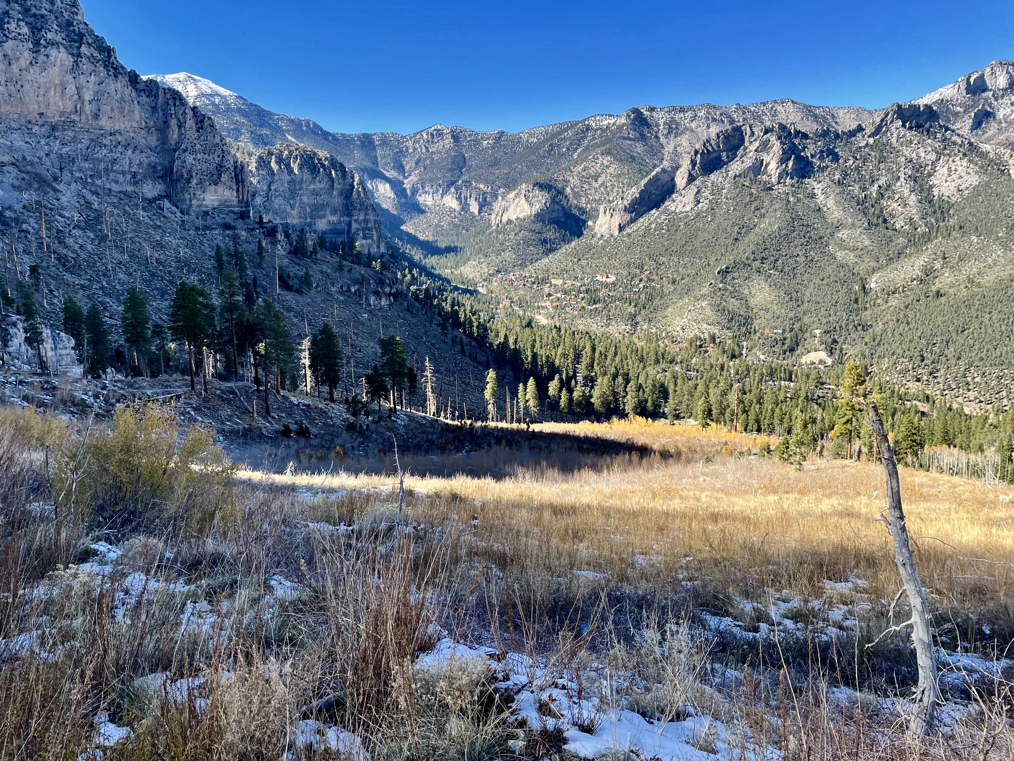
After ½ mile of treacherously icy trail in the canyon, I crossed over the invert and found better conditions on the sunny sidewall above. It was a relief to gain the relatively flat bench of Echo Overlook at 9100 feet (1.1 hours + 1500 feet from TH). This scenic overlook offers a great view of the entire Kyle Canyon area and appeared to be a turnaround point for the majority of today’s hikers.

.
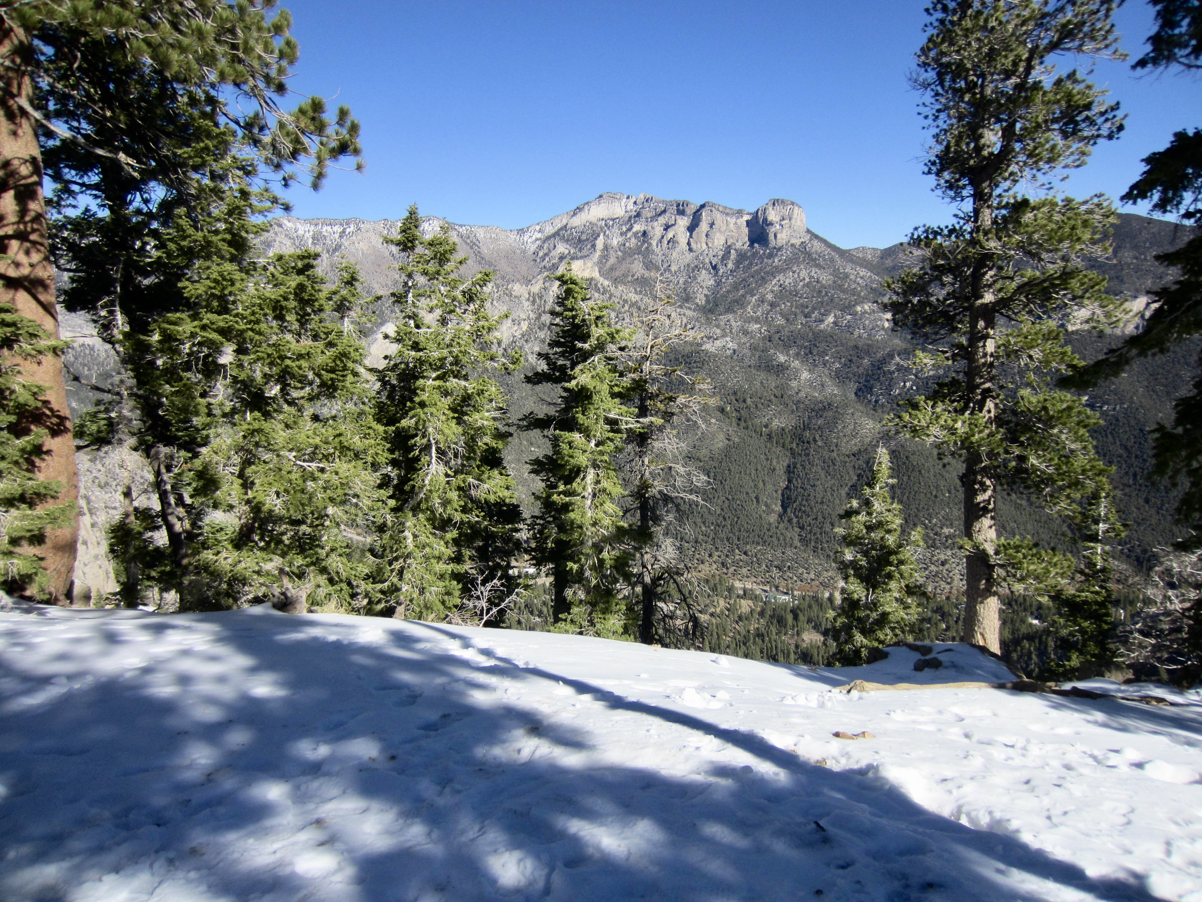
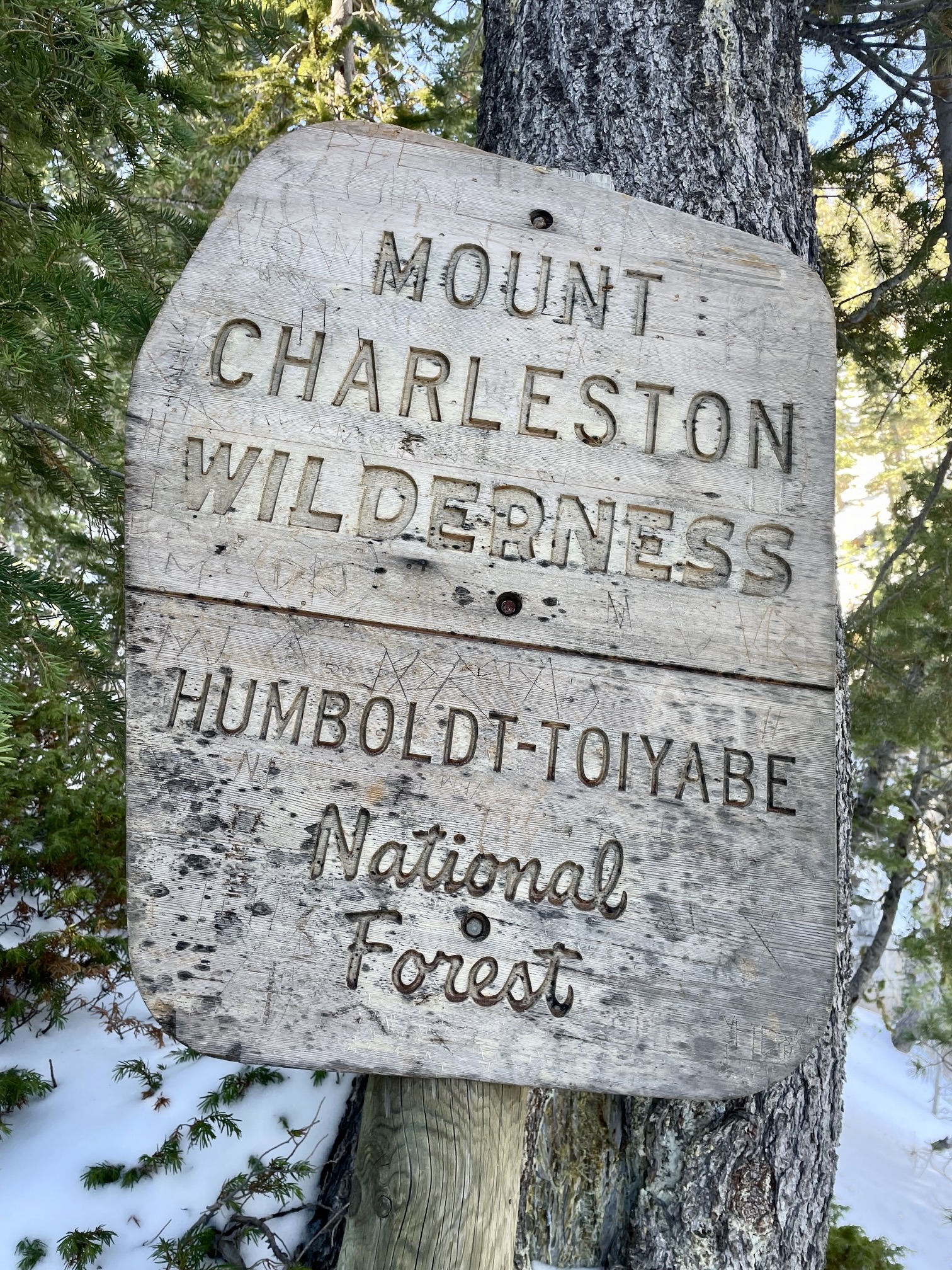
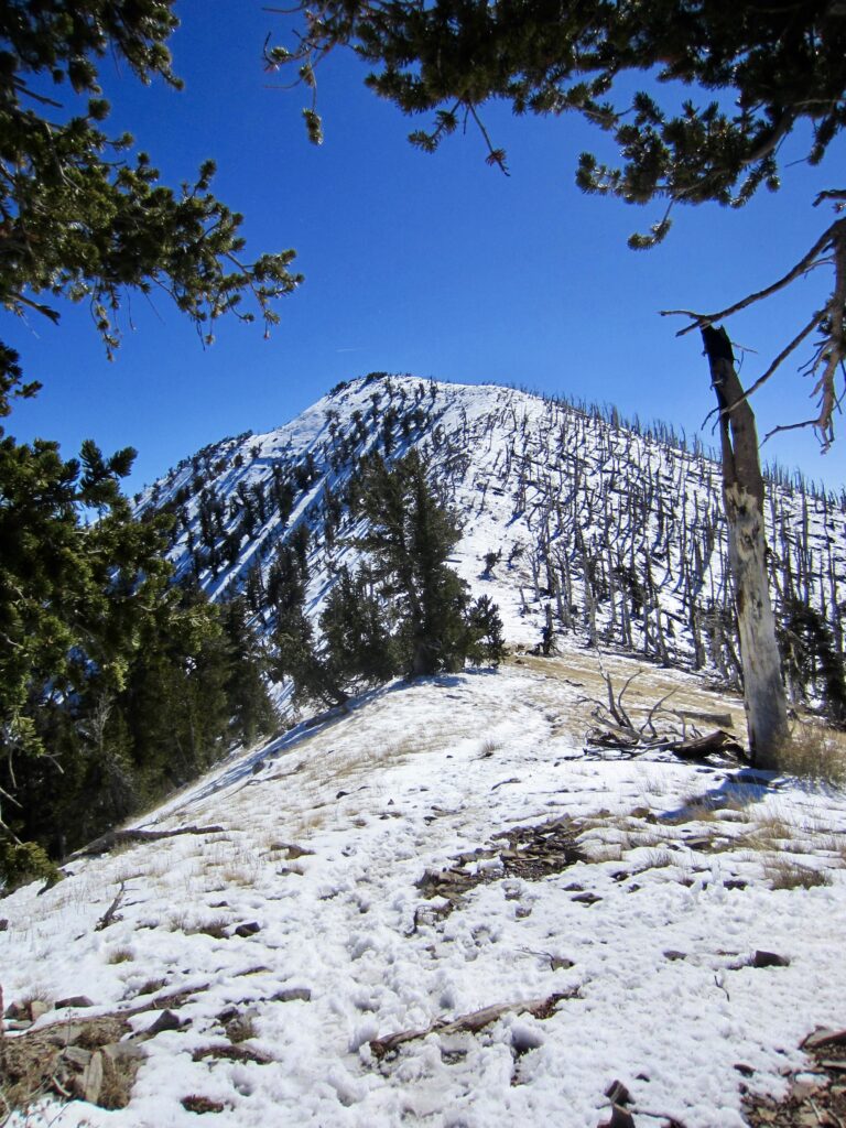
Continuing upward from Echo Overlook on 4 to 6 inches of well-tracked snow, I soon entered the Mt. Charleston Wilderness. The snowcapped summits of Charleston Peak and Griffith Peak gradually came into the view high above to the northwest and southwest, respectively.
.
.
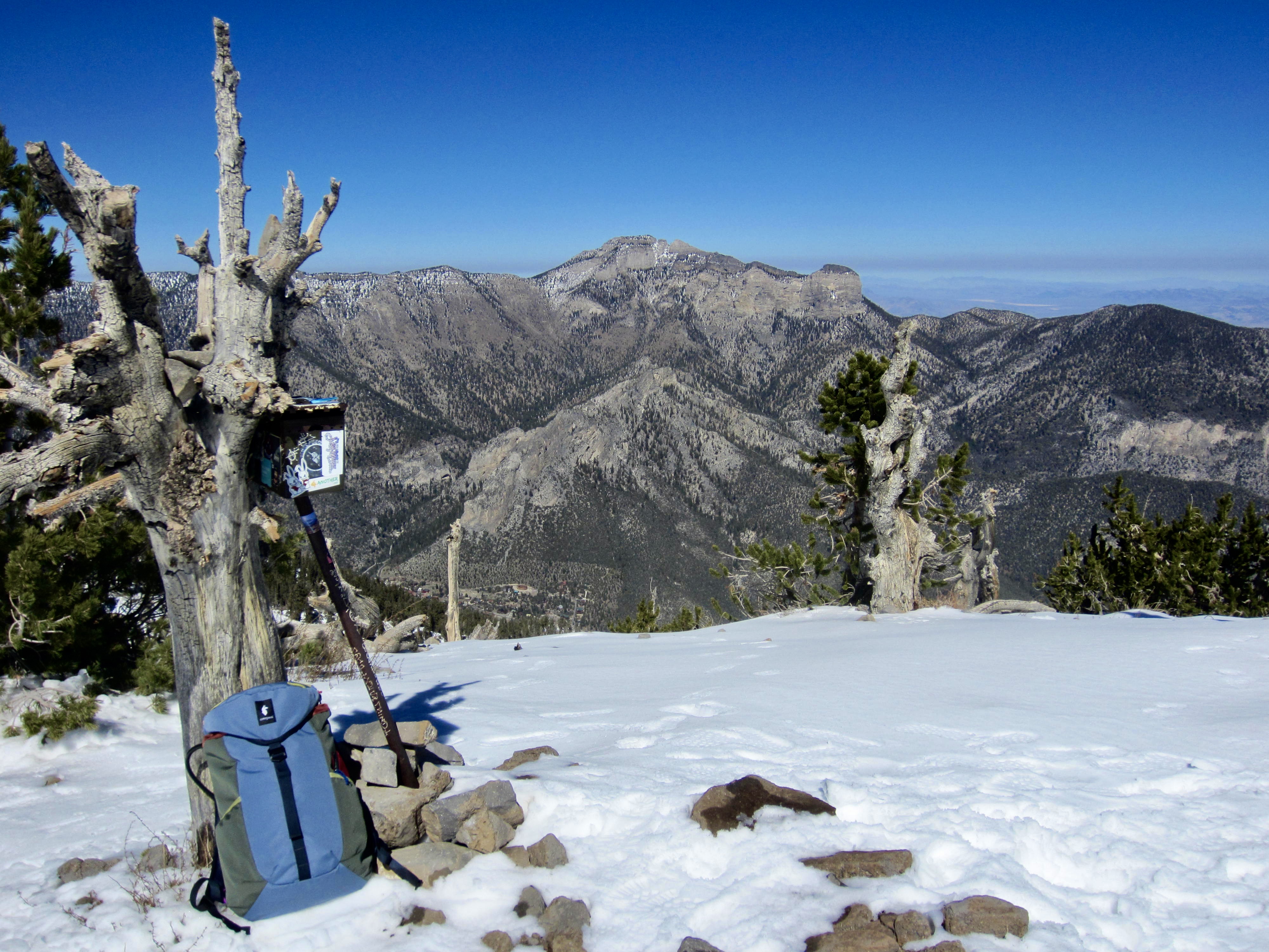
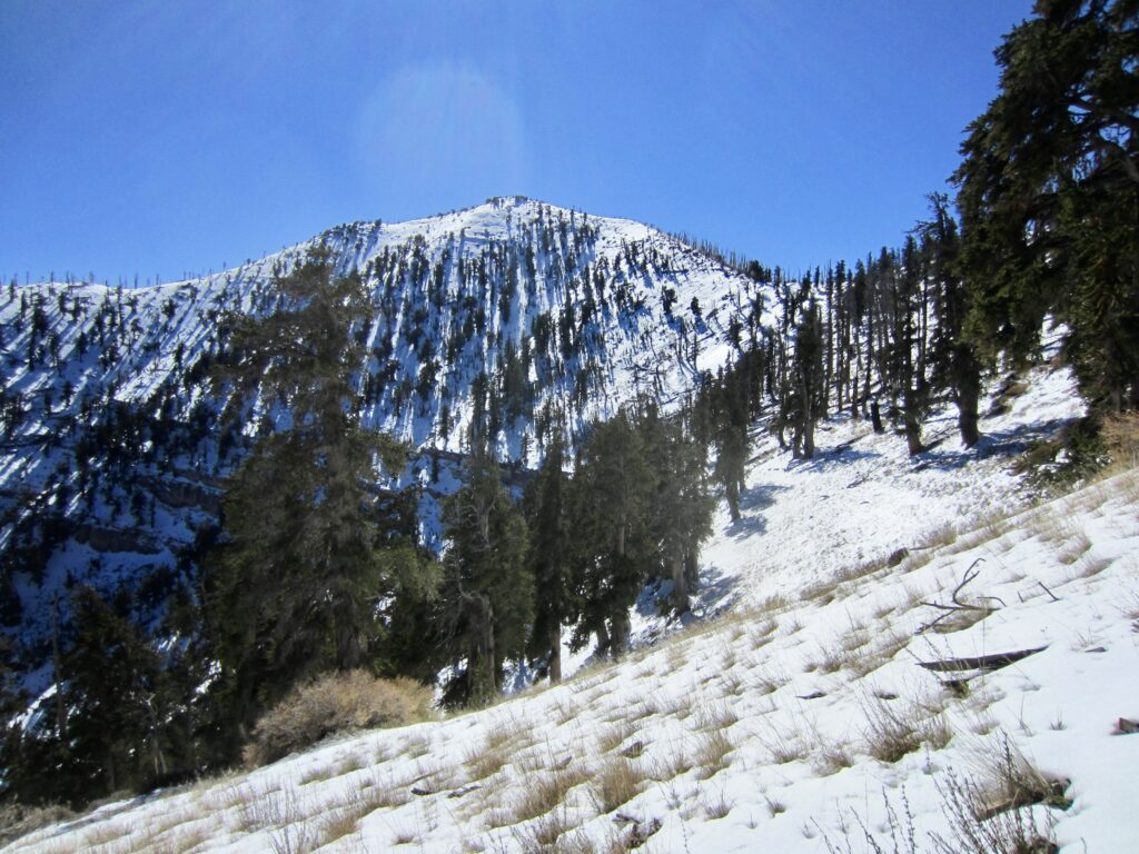
Two dozen switchbacks took me up the forested hillside to 10,700-foot Griffith Junction on Mt. Charleston’s ridge crest (2.5 hours + 3100 feet from TH). From here, the South Loop Trail turns right (north) and proceeds to Charleston Peak, while the Griffith Peak Trail goes left (south) over the summit of nearby Griffith Peak.
.
.
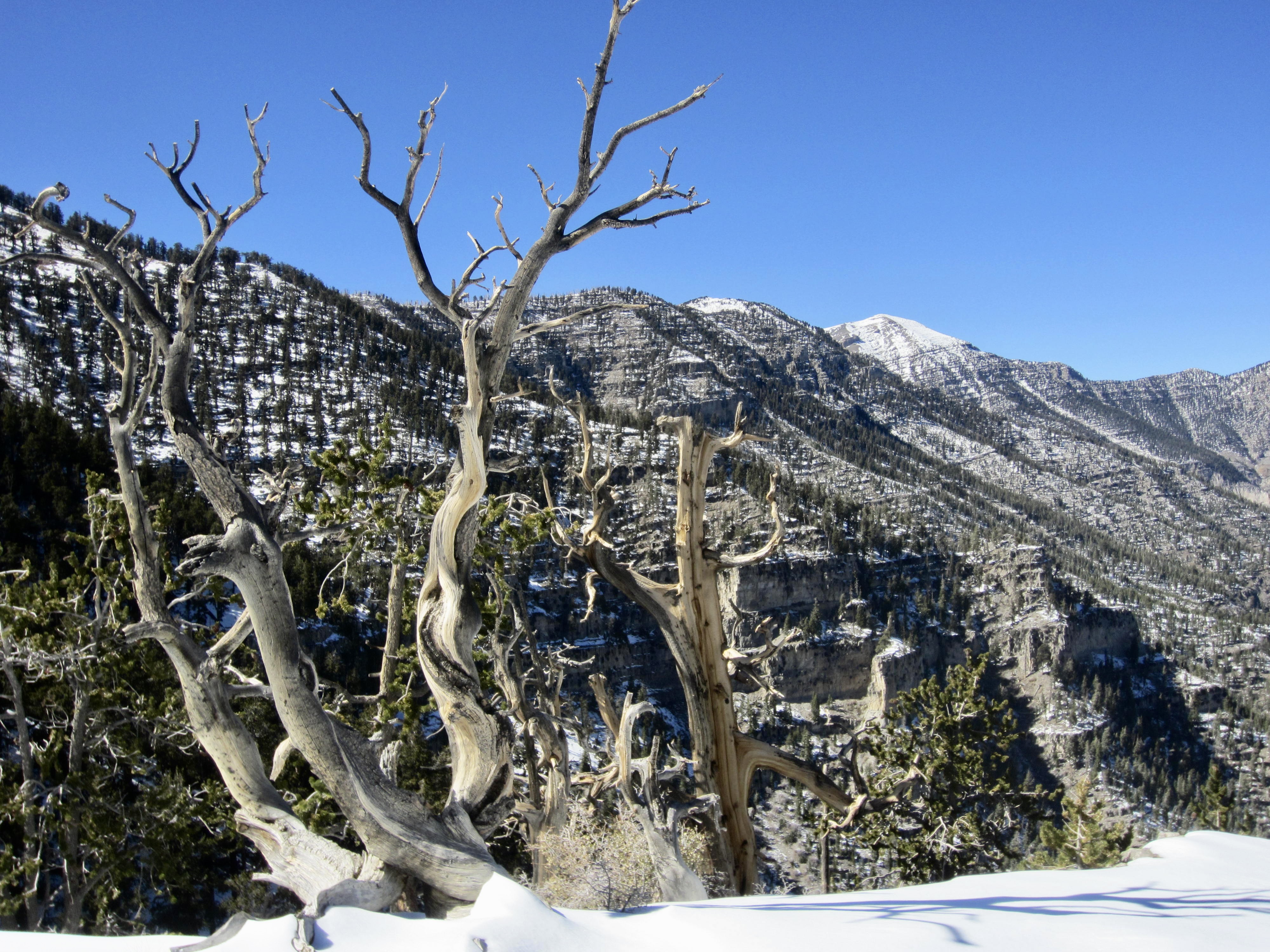
Turning southward, I hiked along the crest on a combination of soft snow and hard crust to gain the 11,060-foot summit of Griffith Peak in late morning (3.0 hours + 3500 feet from TH). It was remarkably warm and wind-free for such a high, exposed location. To the east, I could see the sprawling metropolis of Las Vegas.

.
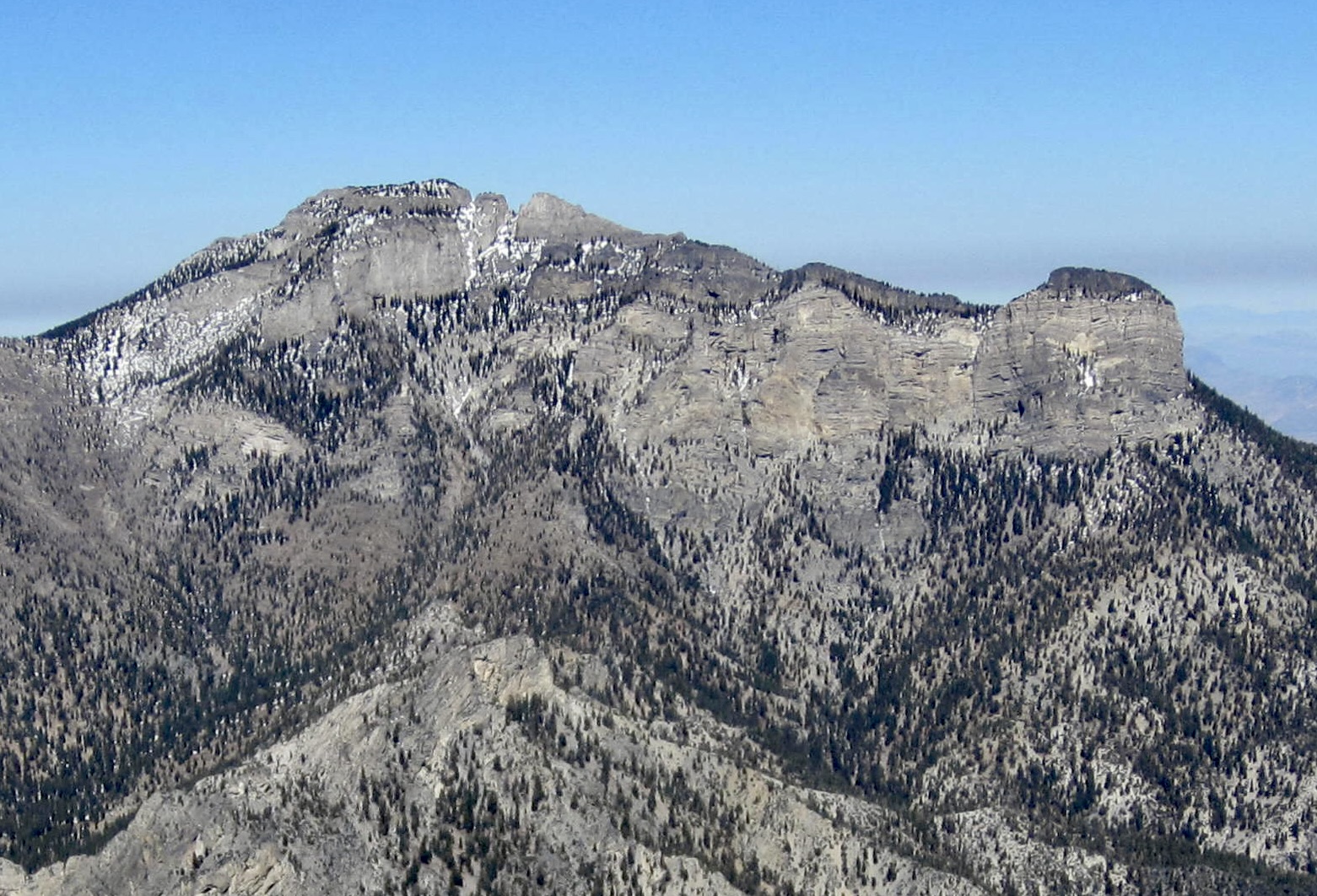
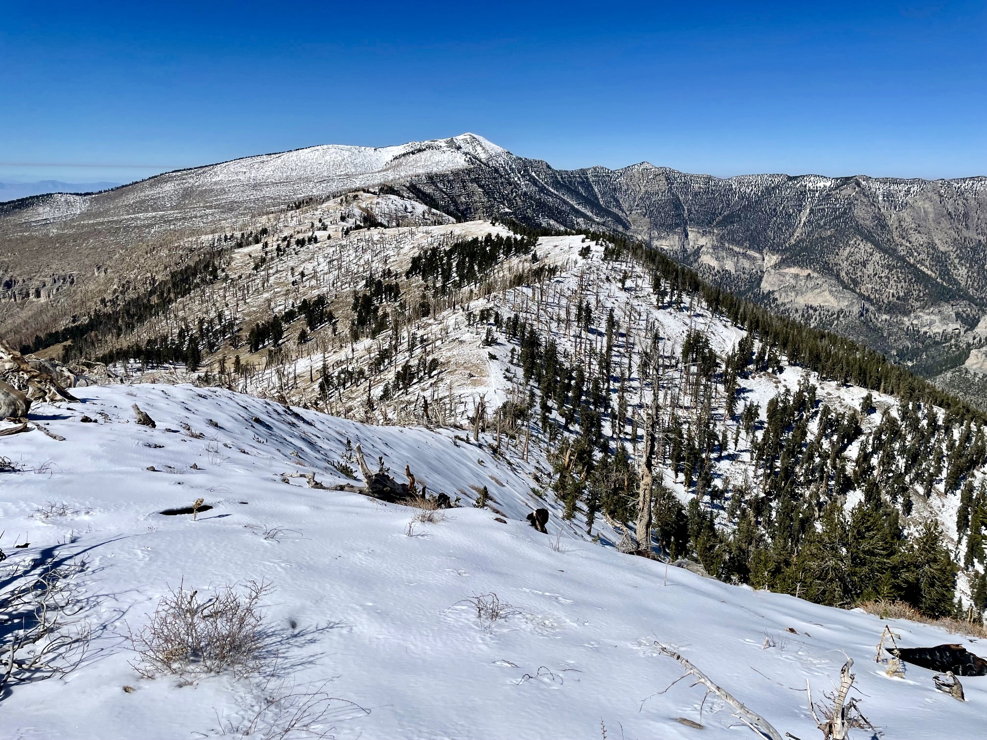
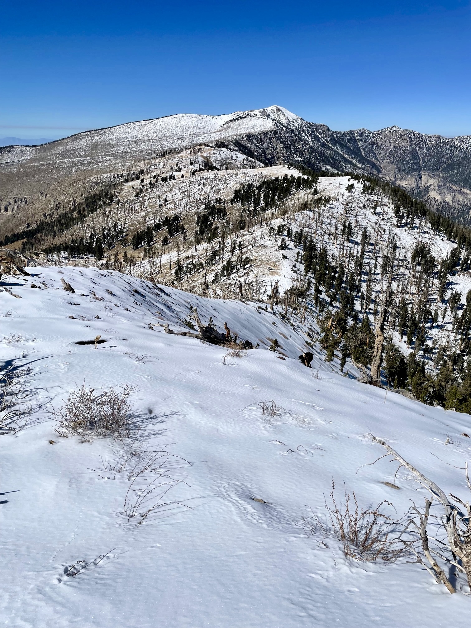
To the north was the elongated crest of 11,500-foot Mummy Mountain. From this angle, its gray limestone facade closely resembles a supine mummy wrapped in gray gauze. Mummy’s Toe is a blocky hump at the “foot end” of the mountain, and Mummy Pass is a wooded saddle below the hump.

.
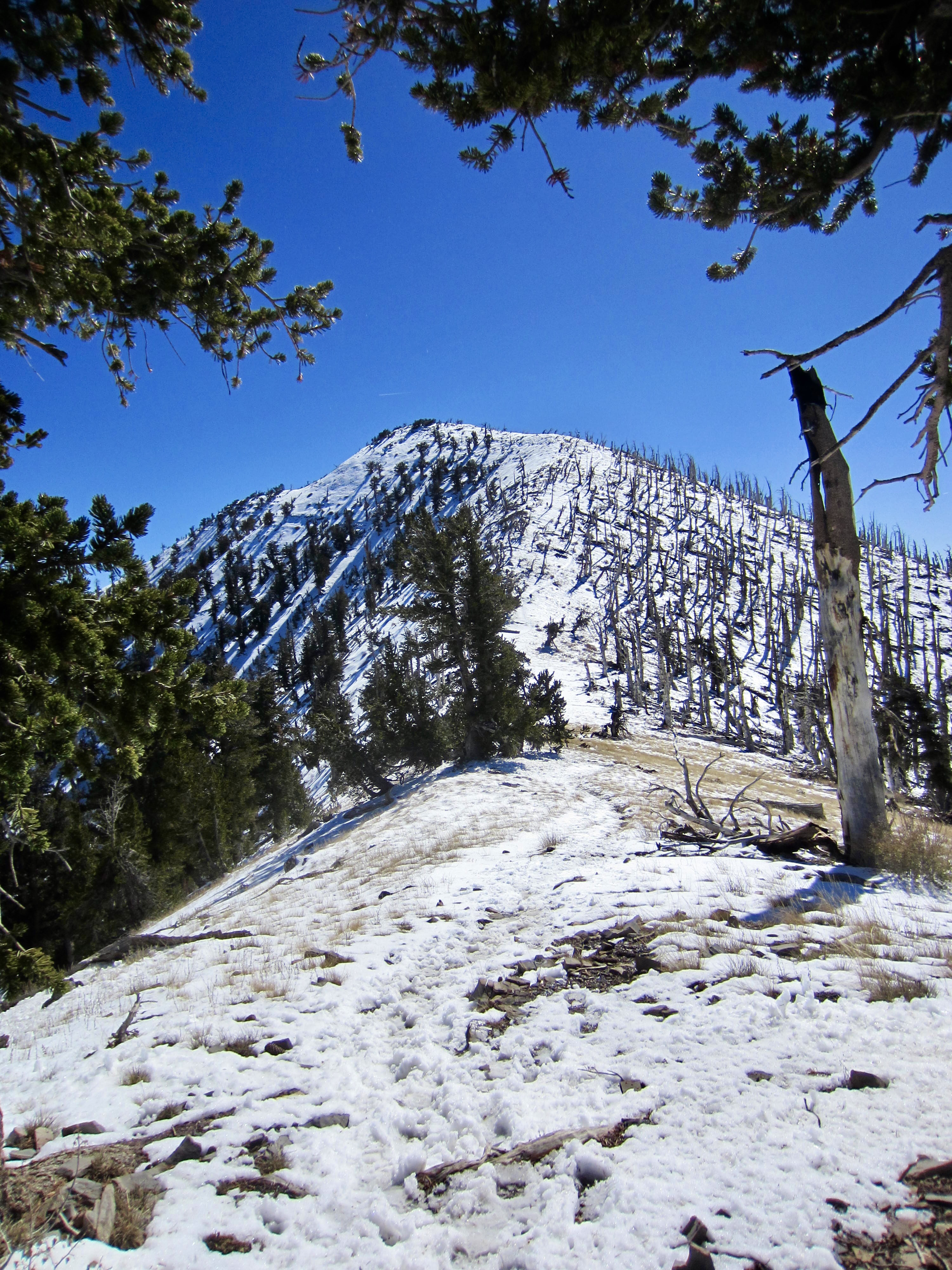
To the northwest, a snaking ridge leads to the summit of Charleston Peak, which rises to an elevation of nearly 12,000 feet. It is the highest point on the Mt. Charleston massif and in the entire Spring Mountains range. This snowy image only enhanced my interest in a future summit traverse!

.
I began my descent in early afternoon and was happy to find that conditions had improved considerably on the South Loop Trail. From Griffith Junction down to Echo Overlook, the hard-packed snow had softened noticeably in the midday sun. Below Echo Overlook, quite a bit of the morning’s ice had either developed a soft veneer or melted completely. Miraculously, I managed to reach the trailhead after many slips but no falls.

.
Route Map & Profile
…
…
Photo Gallery
Click to enlarge…