Trip Date: April 21, 2021
2021 NEW MEXICO ADVENTURE VACATION
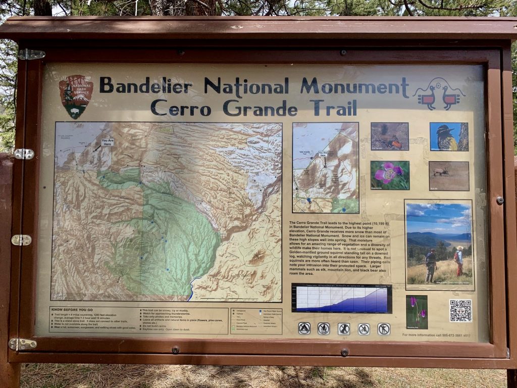
Cerro Grande Day Hike
Rito de los Frijoles Basin
Cerro Grande (10,199 ft)
Trip Report Summary
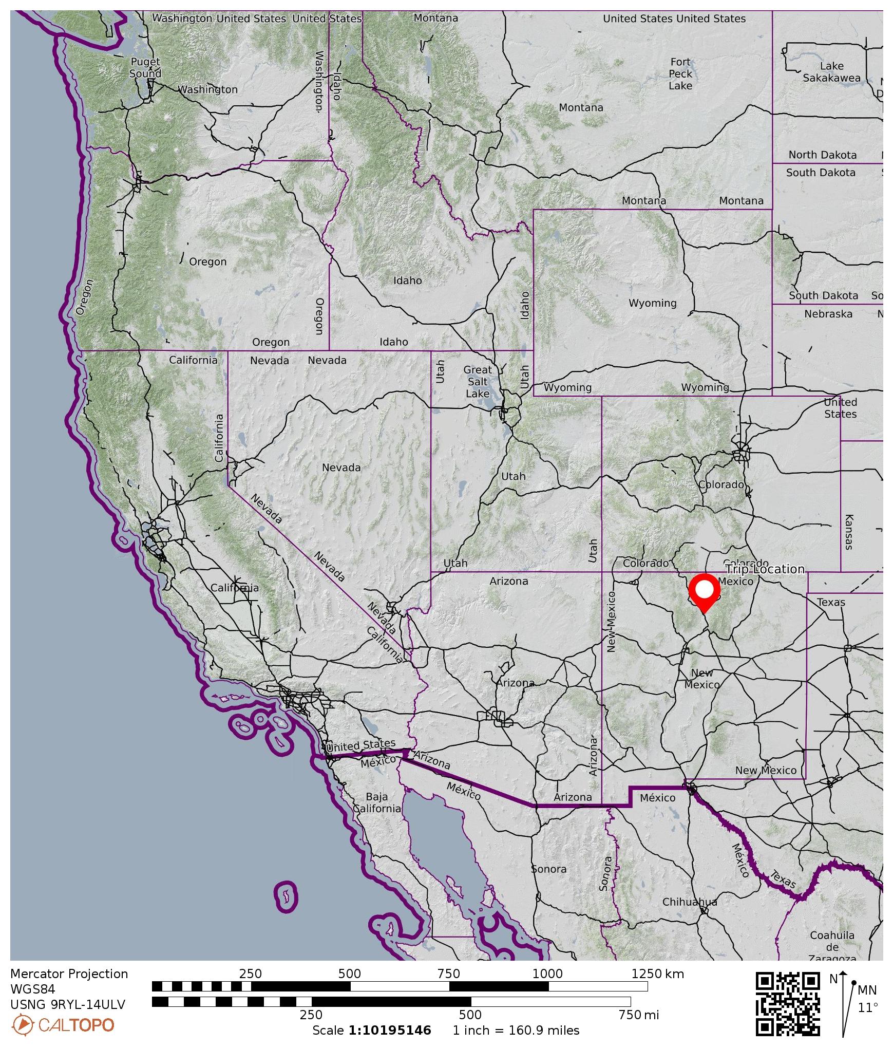
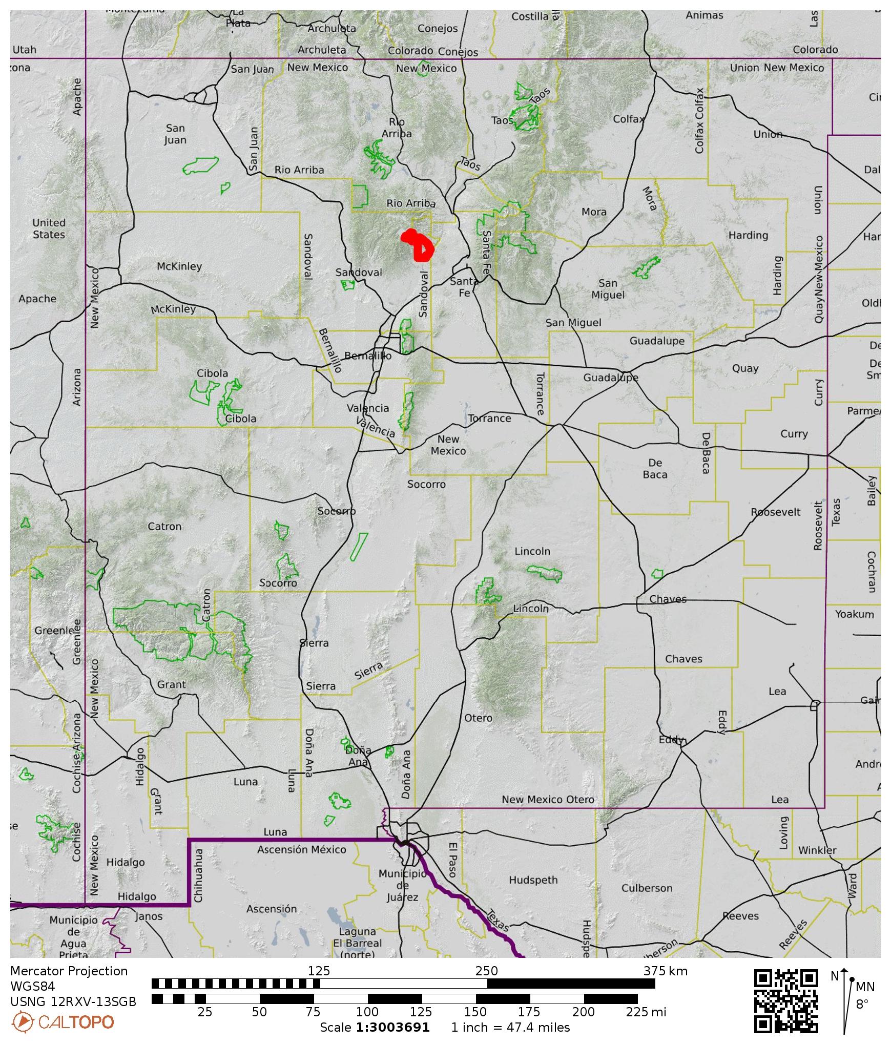
Region: New Mexico
Sub-Region: Jemez Mountains
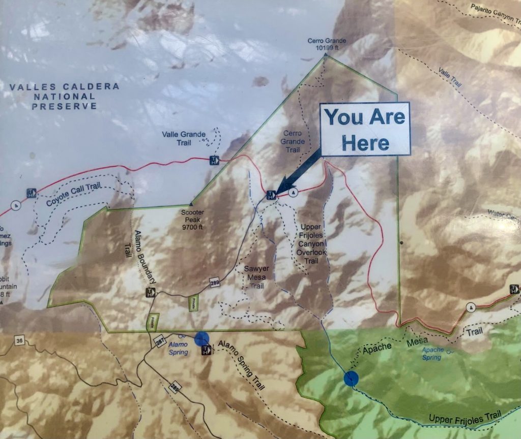
Area: Bandelier National Monument
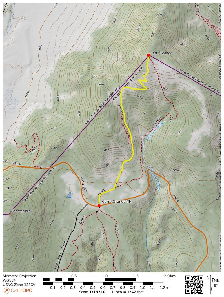
Starting & Ending Point: Cerro Grande Trailhead on Highway 4 (Elev. 8950 feet)
Waypoints: Rito de los Frijoles Basin & Cerro Grande summit (trail hike)
Summit: Cerro Grande (trail hike via South Ridge)
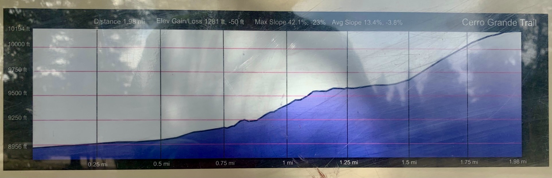
Approximate Stats: 4.2 miles traveled; 1300 feet gained & lost; 1.3 hours up; 1.0 hours down.
…
Full Trip Report
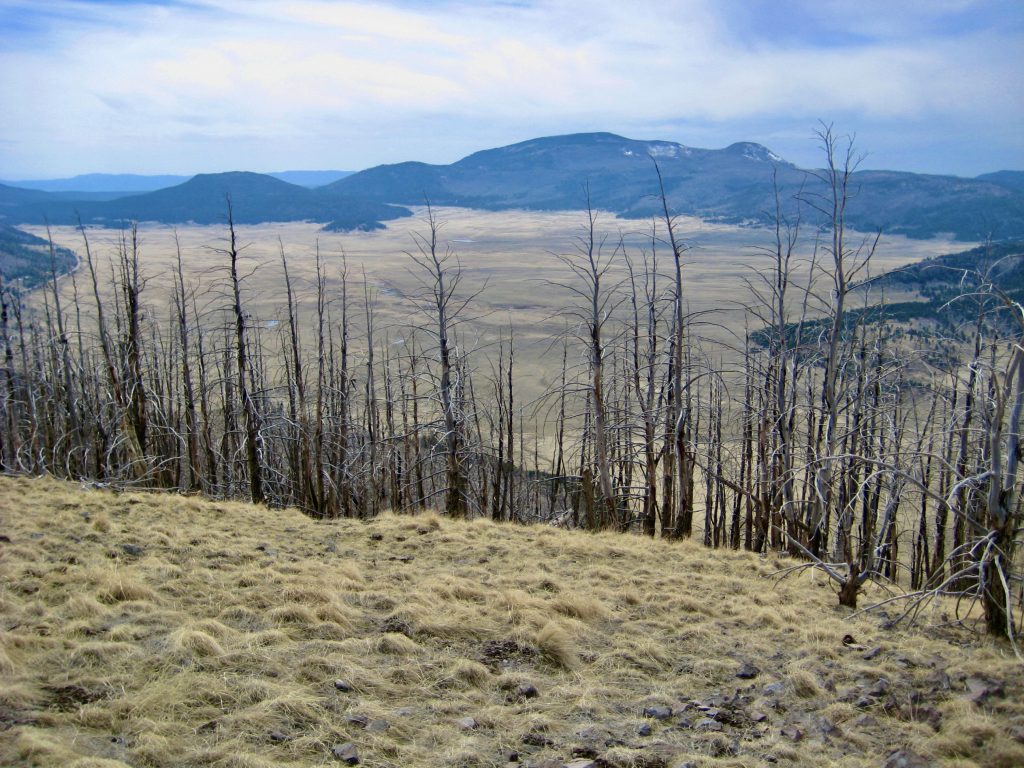
Eileen and I kicked off our New Mexico vacation with a hike up Cerro Grande near Los Alamos. We figured that this 10,000-foot summit would be a good place to begin our acclimation process. In contrast to its exalted moniker, Cerro Grande is merely a rounded hill with modest prominence and whose only claim to fame is being the highest point within Bandelier National Monument. Nonetheless, it provides a fine view of Valles Caldera, an enormous crater resulting from the collapse of a “supervolcano” more than one million years ago.
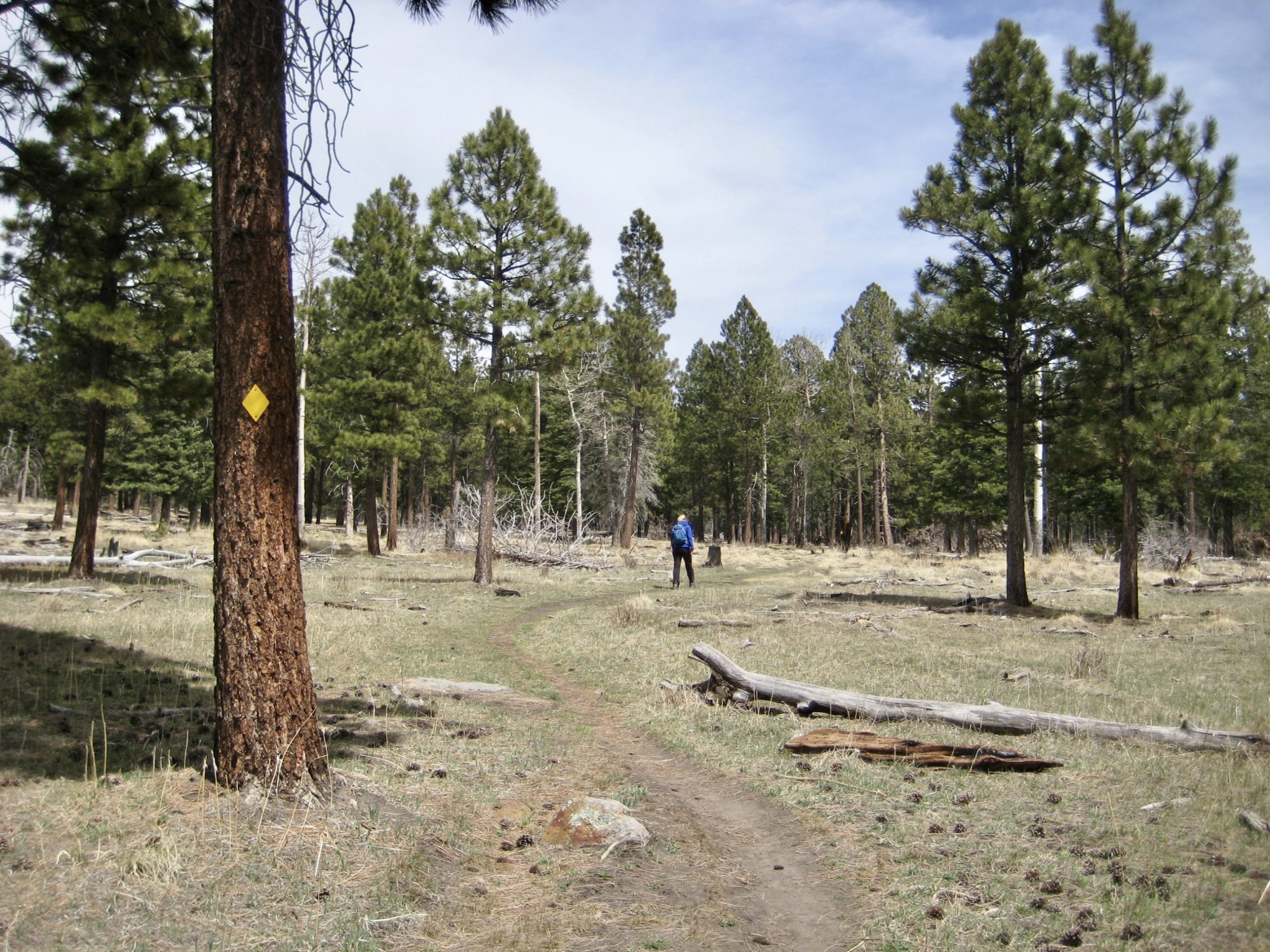
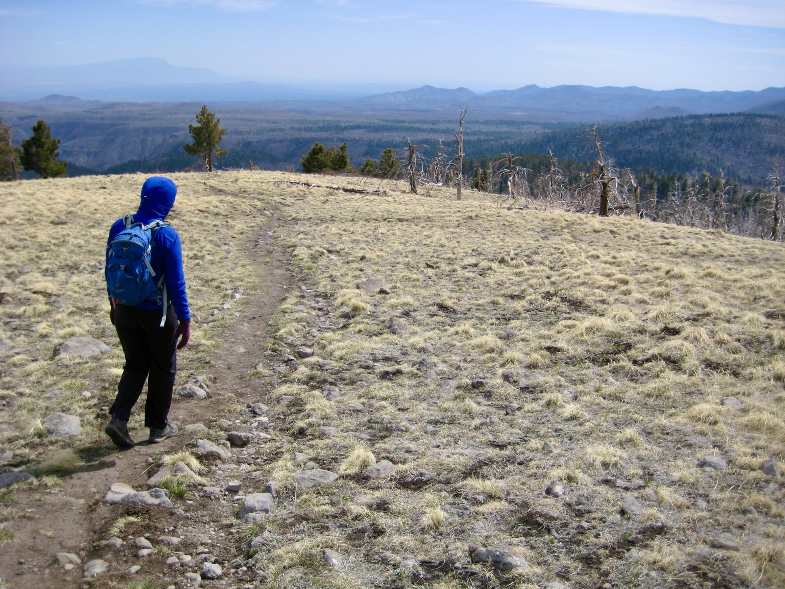
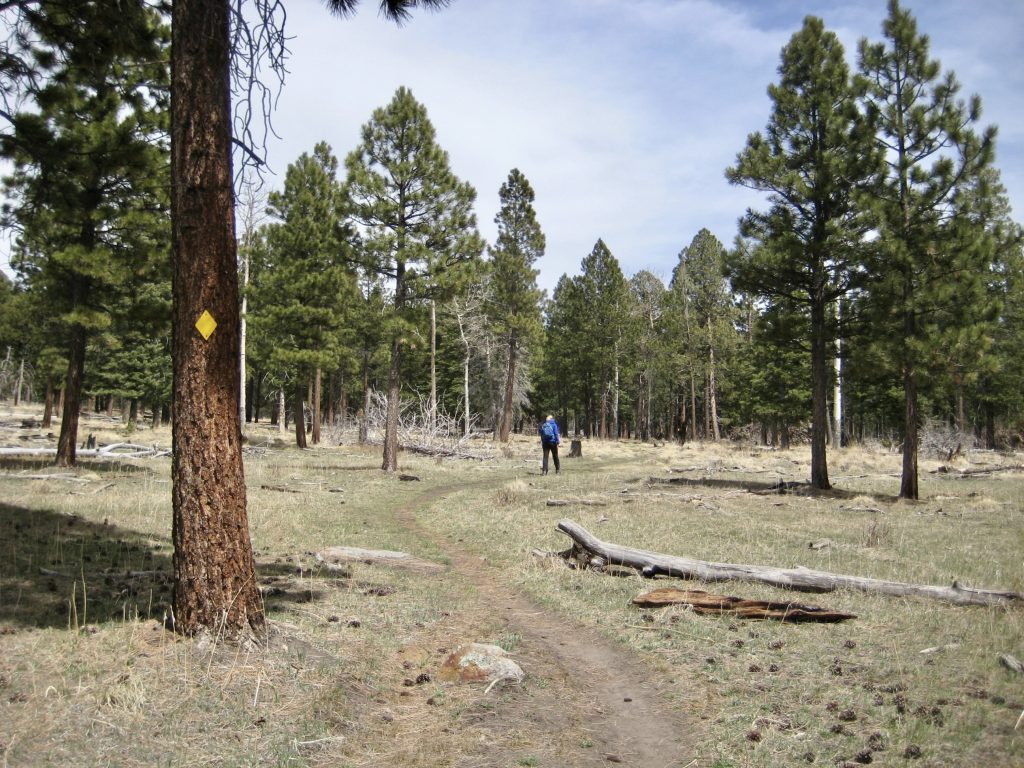
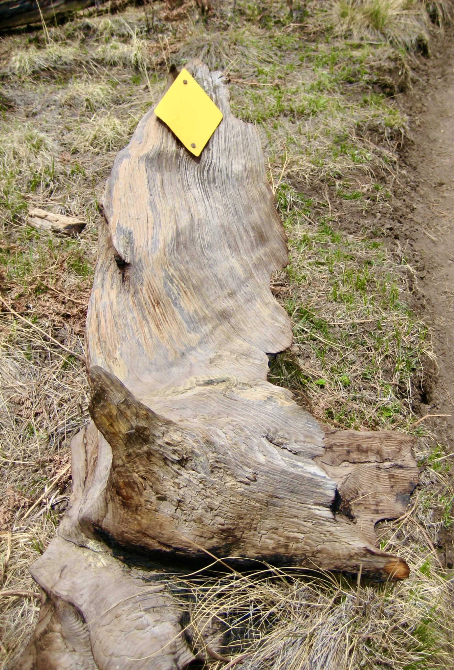
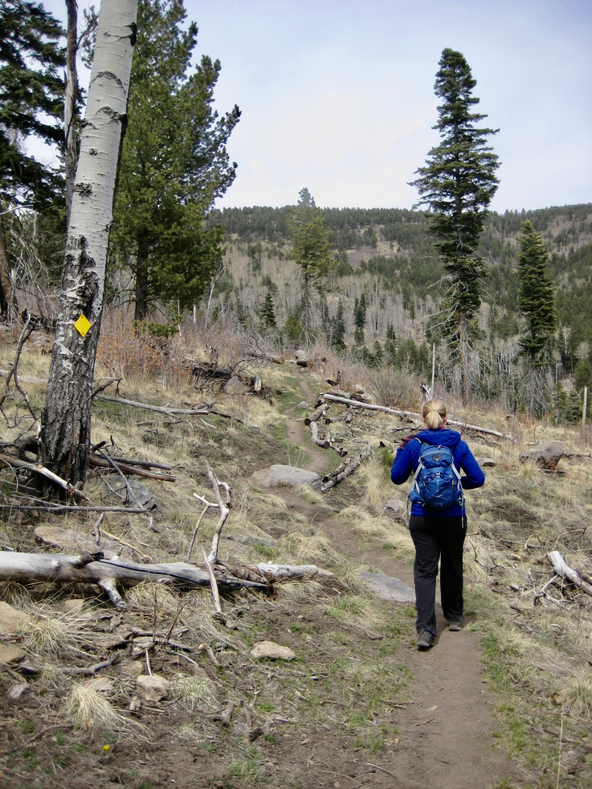
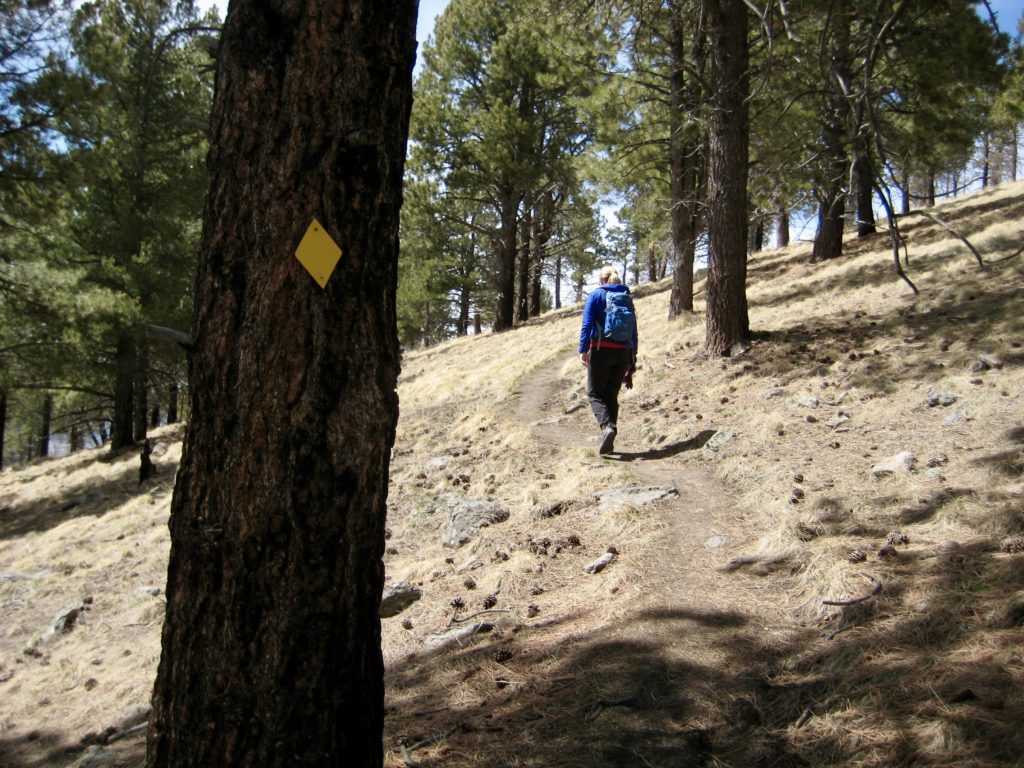
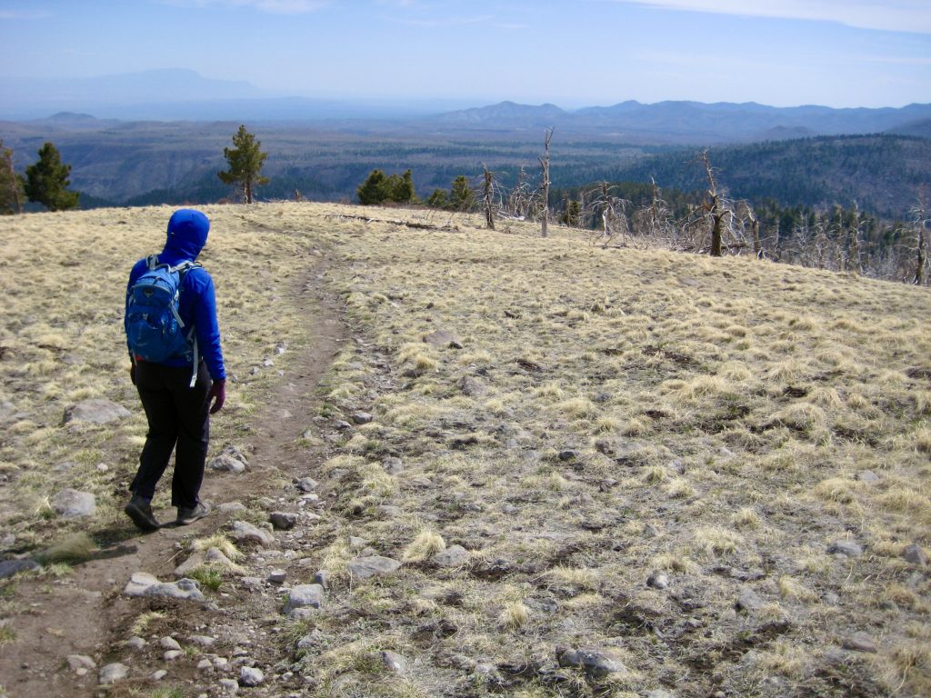
From the Cerro Grande Trailhead on State Highway 4, we started hiking up the well-graded trail through open ponderosa forest. Being a popular wintertime route, this trail is marked with closely spaced yellow diamonds, each of which could be seen from 100 yards away. I couldn’t help but wish that these high-viz yellow diamonds had become the standard snow-trail marker, rather than the now-ubiquitous low-viz blue diamonds. Oh well.
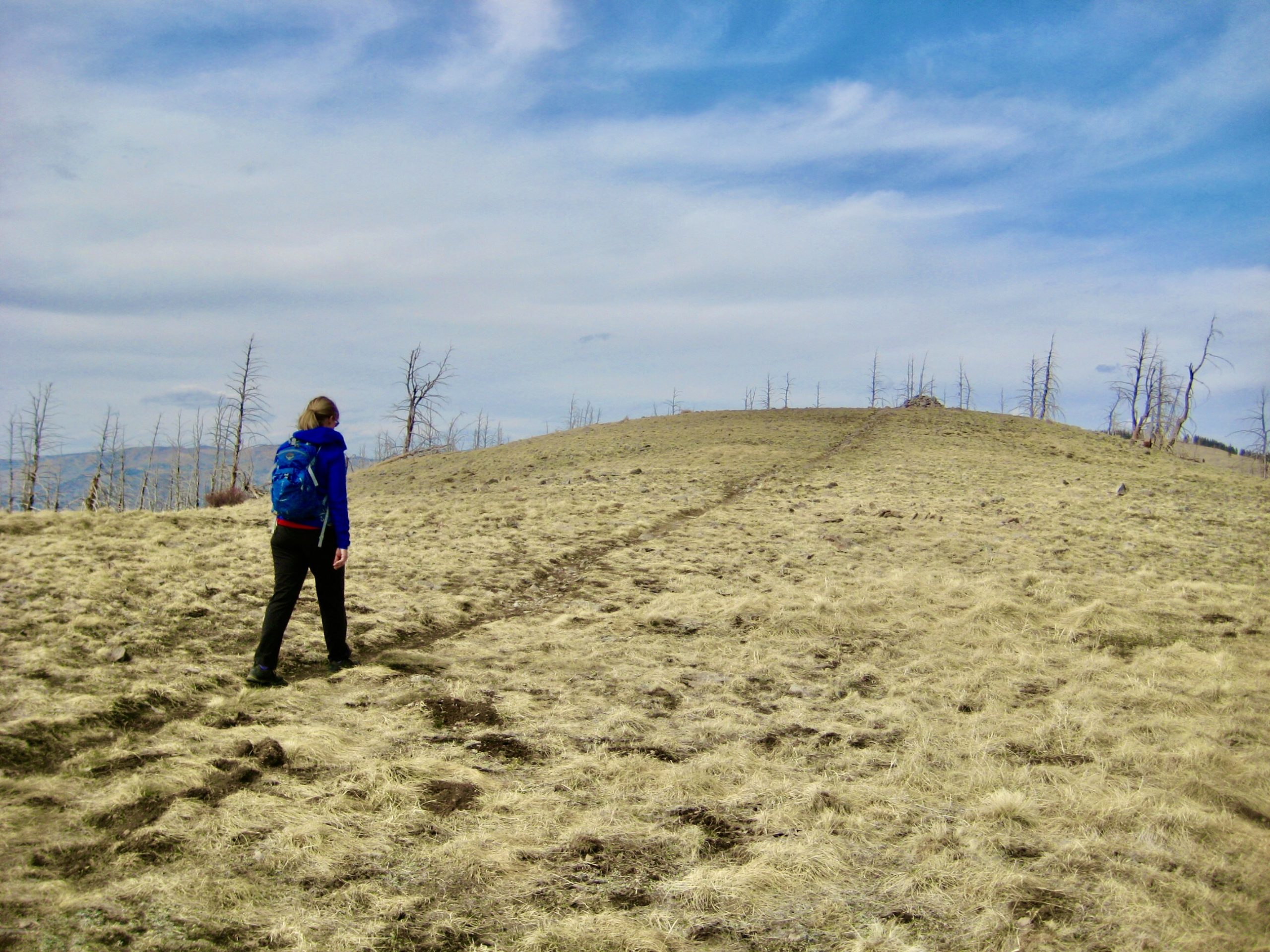
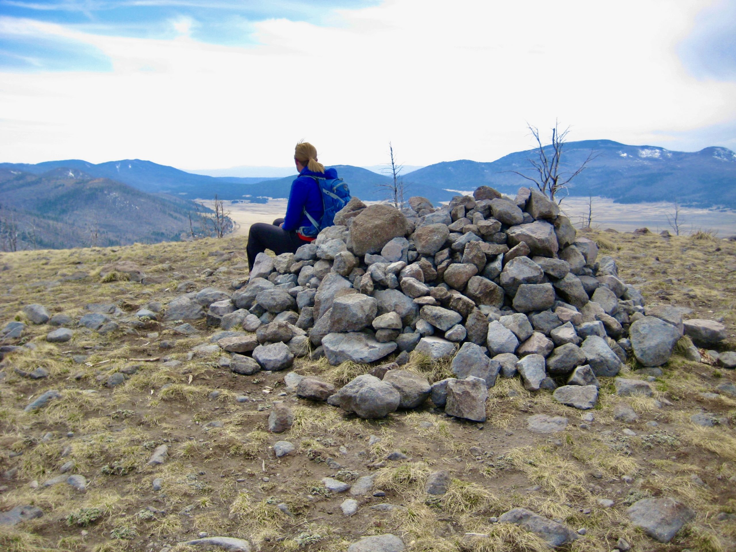
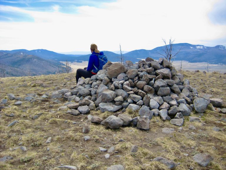
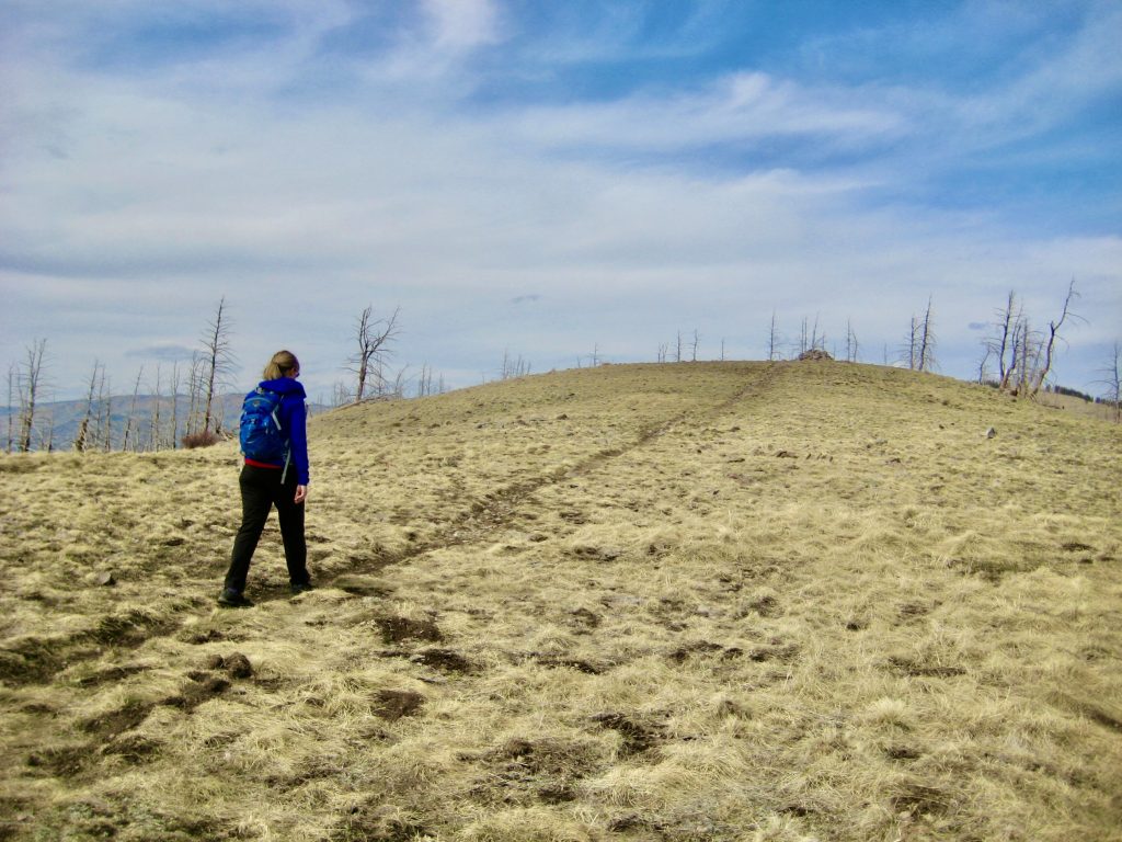
We skirted the headwater basin of Rito de los Frijoles (translation: “little river of beans” or “rite of the beans”; meaning: unknown) and switch-backed up a grassy ridge. The summit cairn soon came into view.
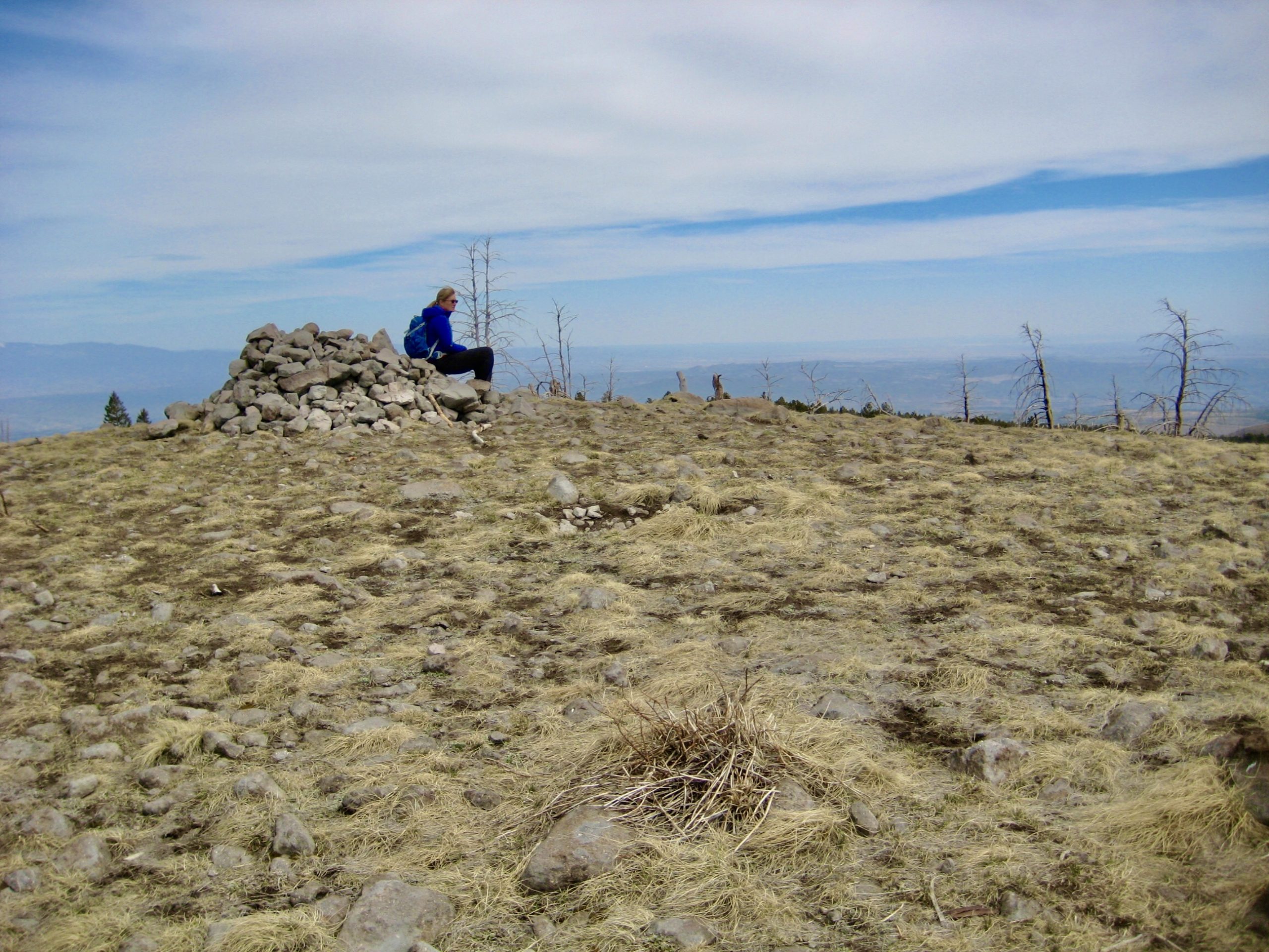
Upon reaching the summit (1.3 hours + 1300 feet from TH), we gazed out at Valles Caldera to our southwest. The expansive level plain seen from this vantage actually represents only a small part of the 14-mile-wide caldera.

In a short hour, we were back at the trailhead. This had been a good introduction to New Mexico hiking, and we eagerly looked forward to much more.
…
Route Maps
…
…
Photo Gallery
Click to enlarge…