Originally Posted: January 2023
Updated: March 2025
Windy Pass Ski Tour
Keechelus Lake
Mill Creek Bridge
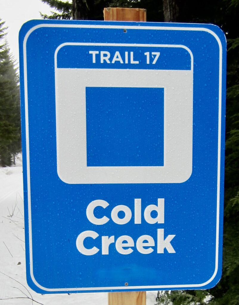
Cold Creek Valley
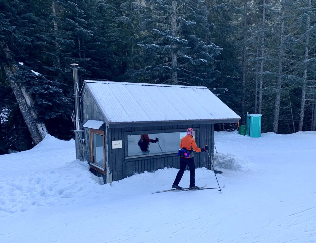
Jim Brooks Warming Hut
Windy Pass
Route Summary
Region: Central Washington Cascades
Sub-Region: Iron Horse Mountains
Area: Okanogan–Wenatchee National Forest
Starting & Ending Point: Hyak Sno-Park off Interstate-90 at Exit 54 (Elev. 2550 feet)
Way Points: Connector Trail junction & Cold Creek Trail junction & Mill Creek Bridge & Hidden Valley Trail junction & Jim Brooks Warming Hut & Windy Pass (ski tour via Palouse-to-Cascades Trail—Connector Trail—Cold Creek Trail)
High Point: Windy Pass (Elev. 3800 feet)
Approximate Stats: 10.2 miles traveled; 1350 feet gained & lost
Typical Season: mid-December thru mid-April
Related Post
>>> Mt. Catherine Ski Loop: counterclockwise via Grand Junction—Windy Pass (detailed route description)
Information Sources
The following links provide helpful information for planning this ski tour. Even these information sources, however, should not be taken as a substitute for having the fitness, knowledge, equipment, and clothing required for ski touring.
>>> Grooming report for Summit at Snoqualmie nordic trails & Mt Catherine Loop
>>> WSDOT road reports for Interstate-90 and Snoqualmie Pass
>>> National Weather Service weather forecast for Snoqualmie Pass area
>>> Northwest Avalanche Center avalanche forecast for Snoqualmie Pass area
>>> Other easy to intermediate ski tours in the I-90 / Snoqualmie Pass corridor
Route Overview
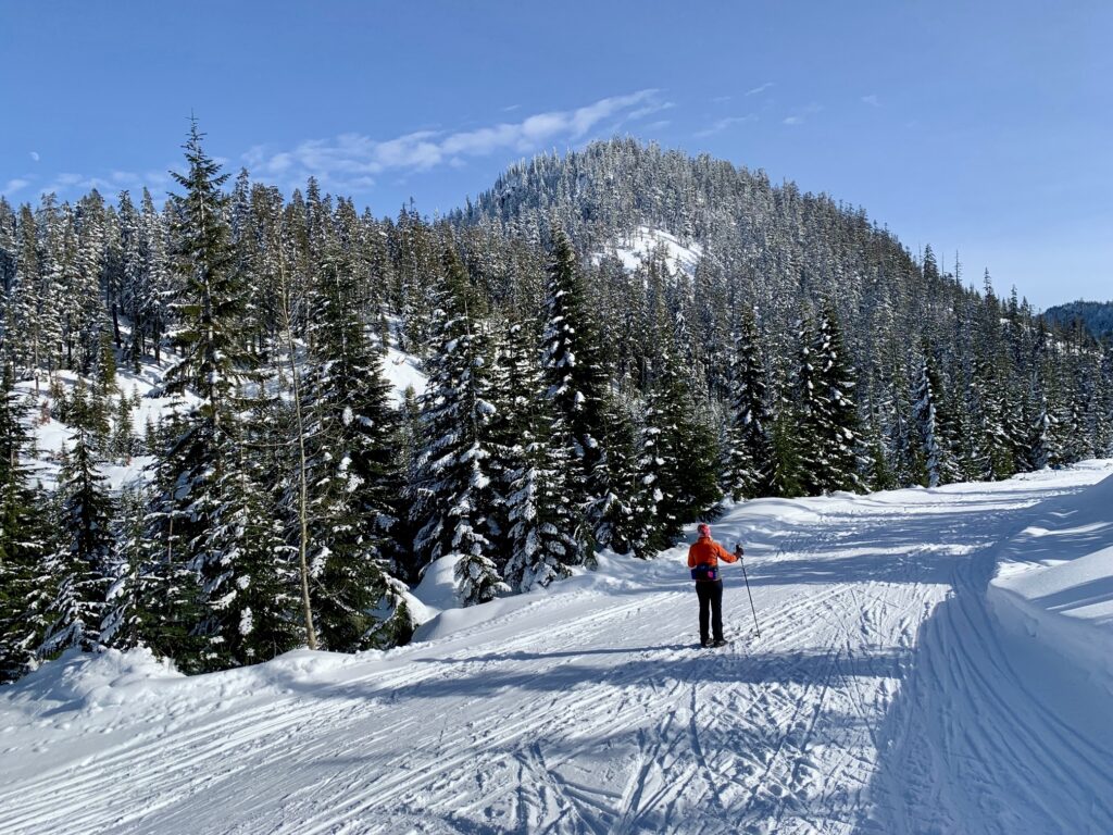
Windy Pass is a popular destination for cross-country skiers in the Snoqualmie Pass area. With a round-trip distance of 10 miles and an elevation gain of 1350 feet, it constitutes a satisfying day for most skiers and it offers some nice views along the way. About 99% of the route follows well-groomed roads, which makes it suitable for a wide range of abilities.
The ski tour to Windy Pass begins at Hyak Sno-Park and comprises three distinctly different segments, as described below. Please note that dogs are not allowed on any of these ski trails.
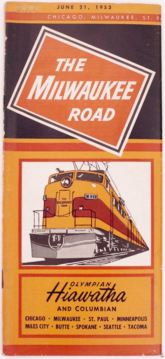
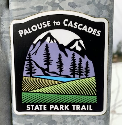
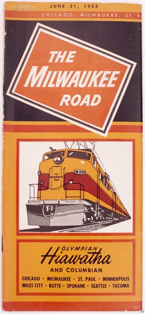
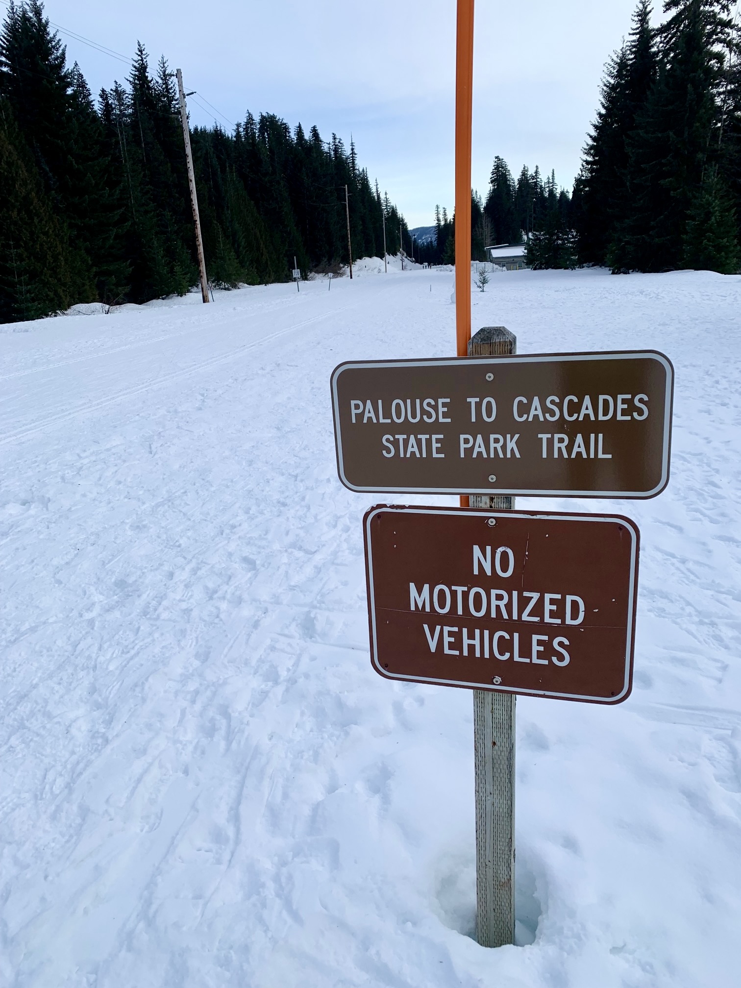
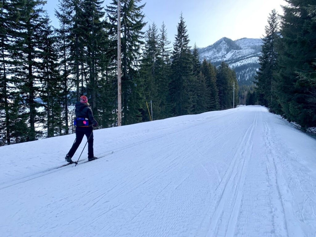
Segment 1 consists of an old railroad grade that parallels the shoreline of Keechelus Lake. It is about 1¼ miles long, absolutely level, and usually well-groomed for cross-country skiing. Throughout most of the 20th Century, this railroad grade was used by the venerable Chicago, Milwaukee, St. Paul, and Pacific Railway—better known by its nickname, The Milwaukee Road. After the trains stopped running along this route (circa 1980), it became known as the John Wayne Pioneer Trail, then was recently renamed the Palouse-to-Cascades State Park Trail (“P2C Trail” for short).
Segment 2 consists of a short but steep forest trail that connects Segment 1 with Segment 3. It has a length of about 150 yards and gains about 50 vertical feet. This Connector Trail is never groomed but is oftentimes packed down by ski tracks and boot prints.
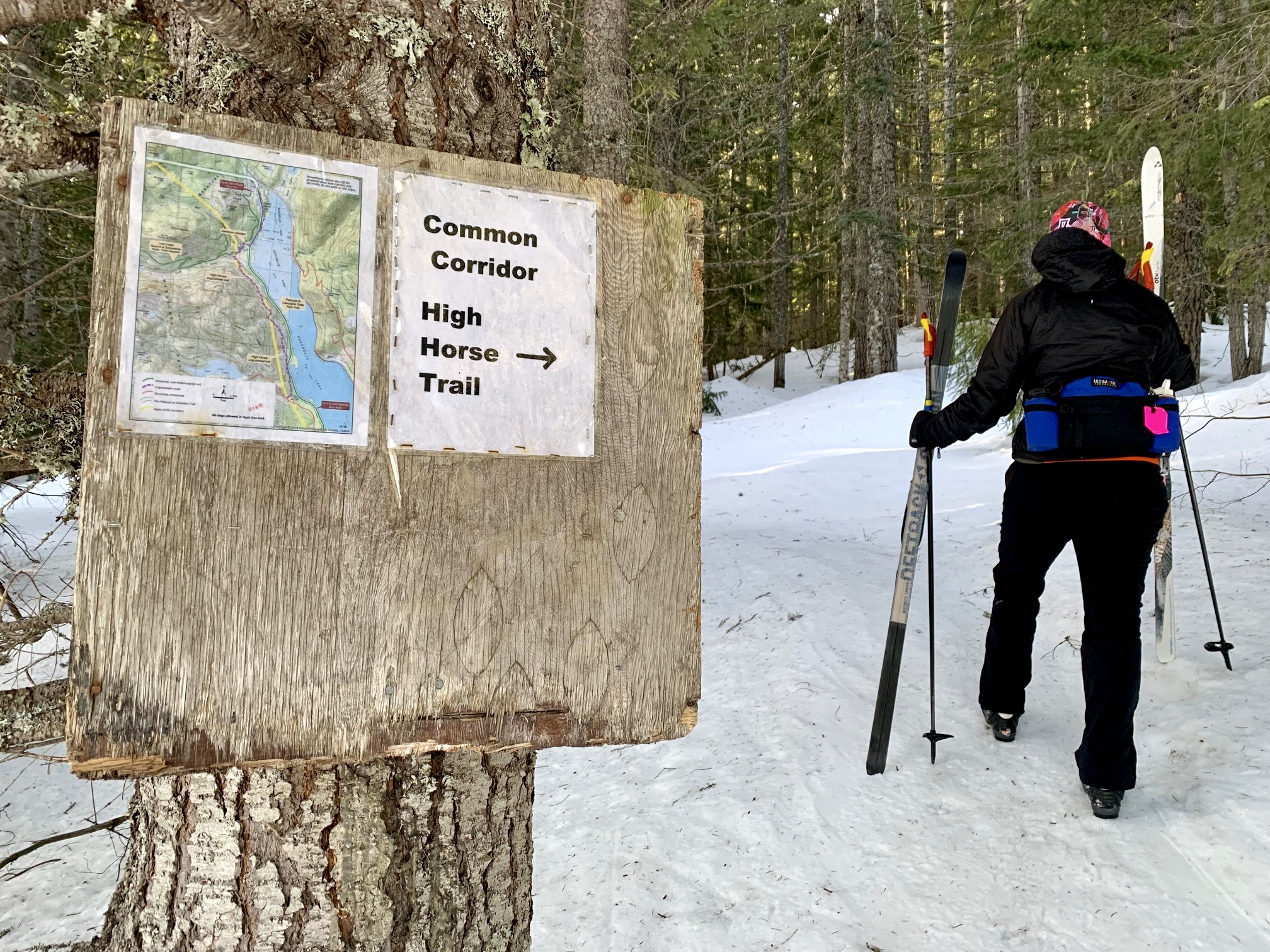
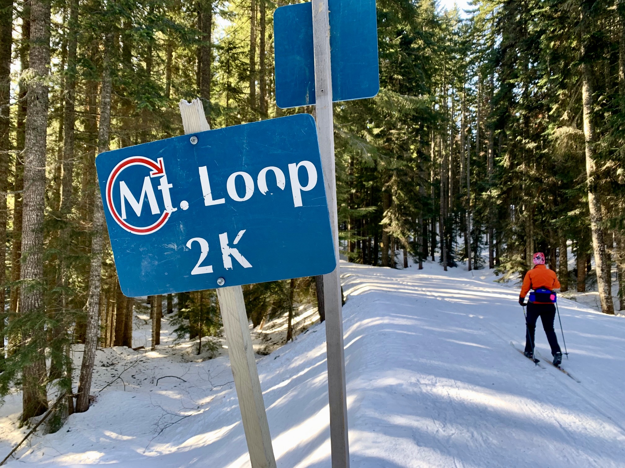
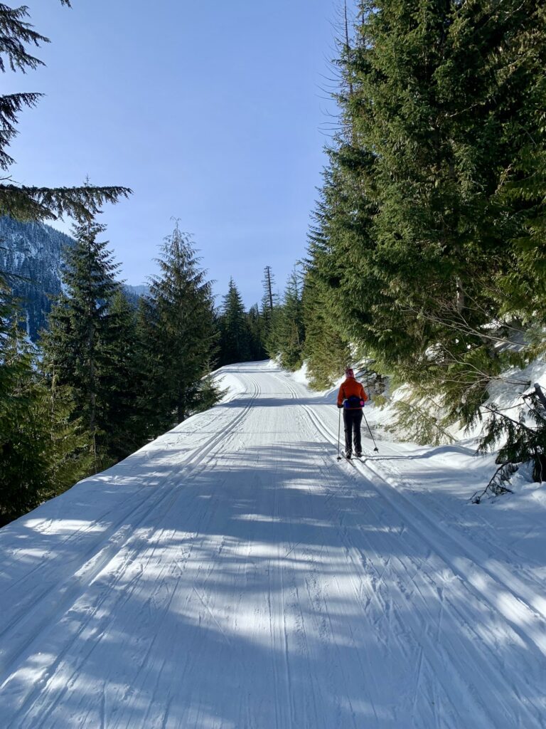
Segment 3 consists of a former logging road that extends all the way to Windy Pass. It has a length of nearly 4 miles, gains about 1300 vertical feet, and is usually well-groomed. During the ski season, this road is known as the Cold Creek Trail and is part of the very popular Mt. Catherine Loop. The portion of Cold Creek Trail located between the Connector Trail and Windy Pass is officially regarded as a free “Common Corridor” by contractual arrangement between Summit East (Hyak) Ski Area and the U.S. Forest Service.
…
Parking Comments
Parking can be found at Hyak Sno-Park, located on the south side of Interstate-90 at Exit 54. A Washington State Sno-Park permit with a “special groomed-area sticker” is required here. This is a large parking lot but be aware that it fills up quickly on weekends and holidays, so it is advisable to arrive early (before 10:00am) or late (after 2:00pm) during high season. Also, be aware that the parking lot is closed and gated at dusk, so plan your tour accordingly.
Full Route Description
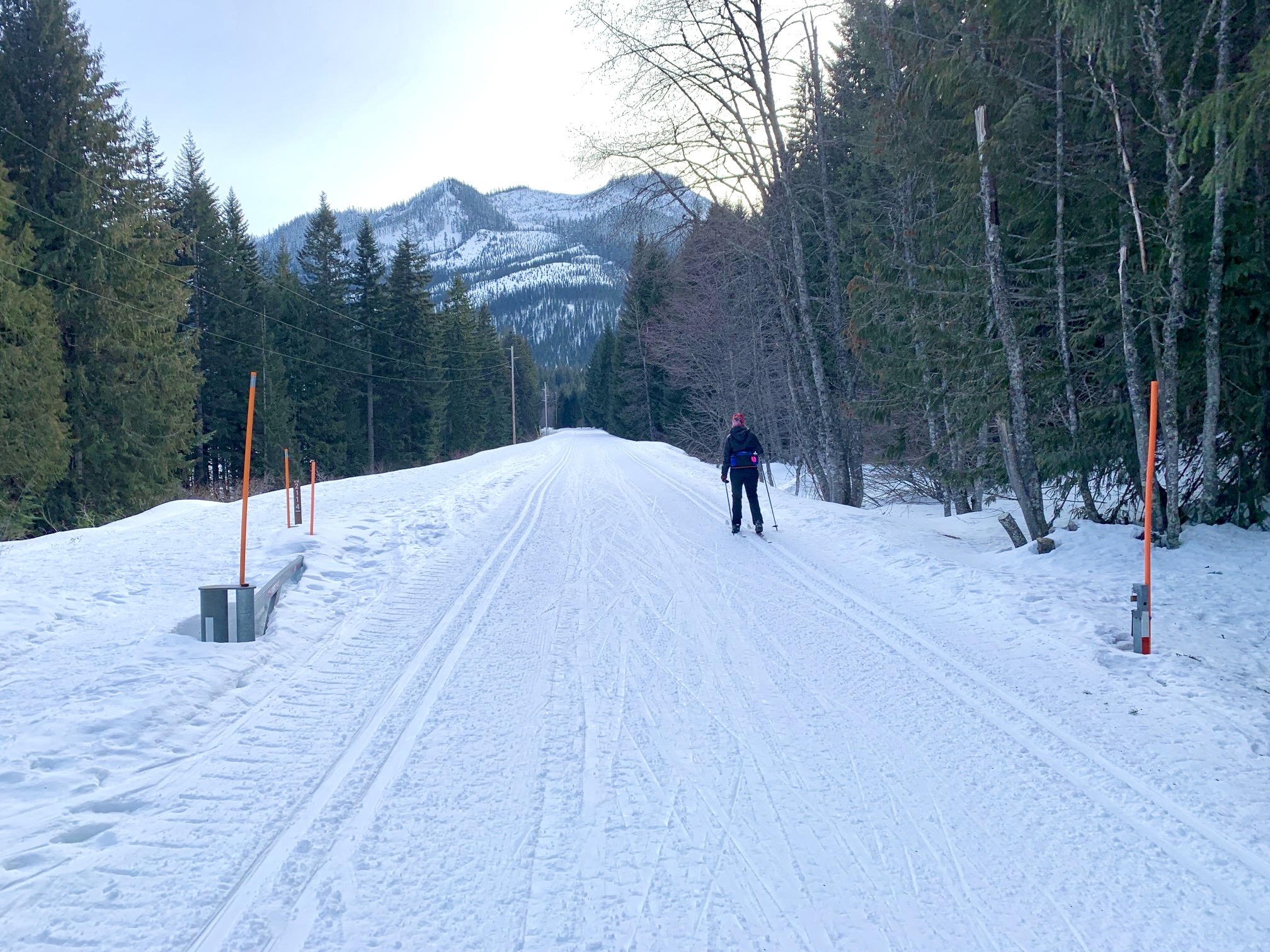
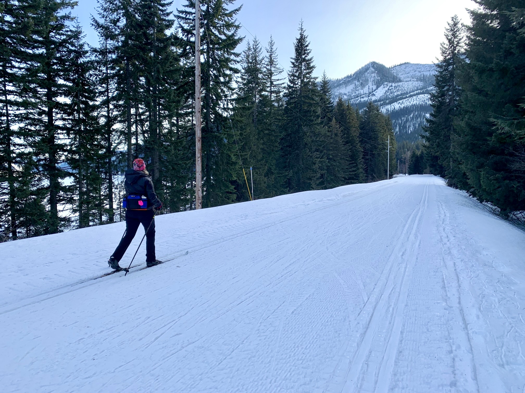
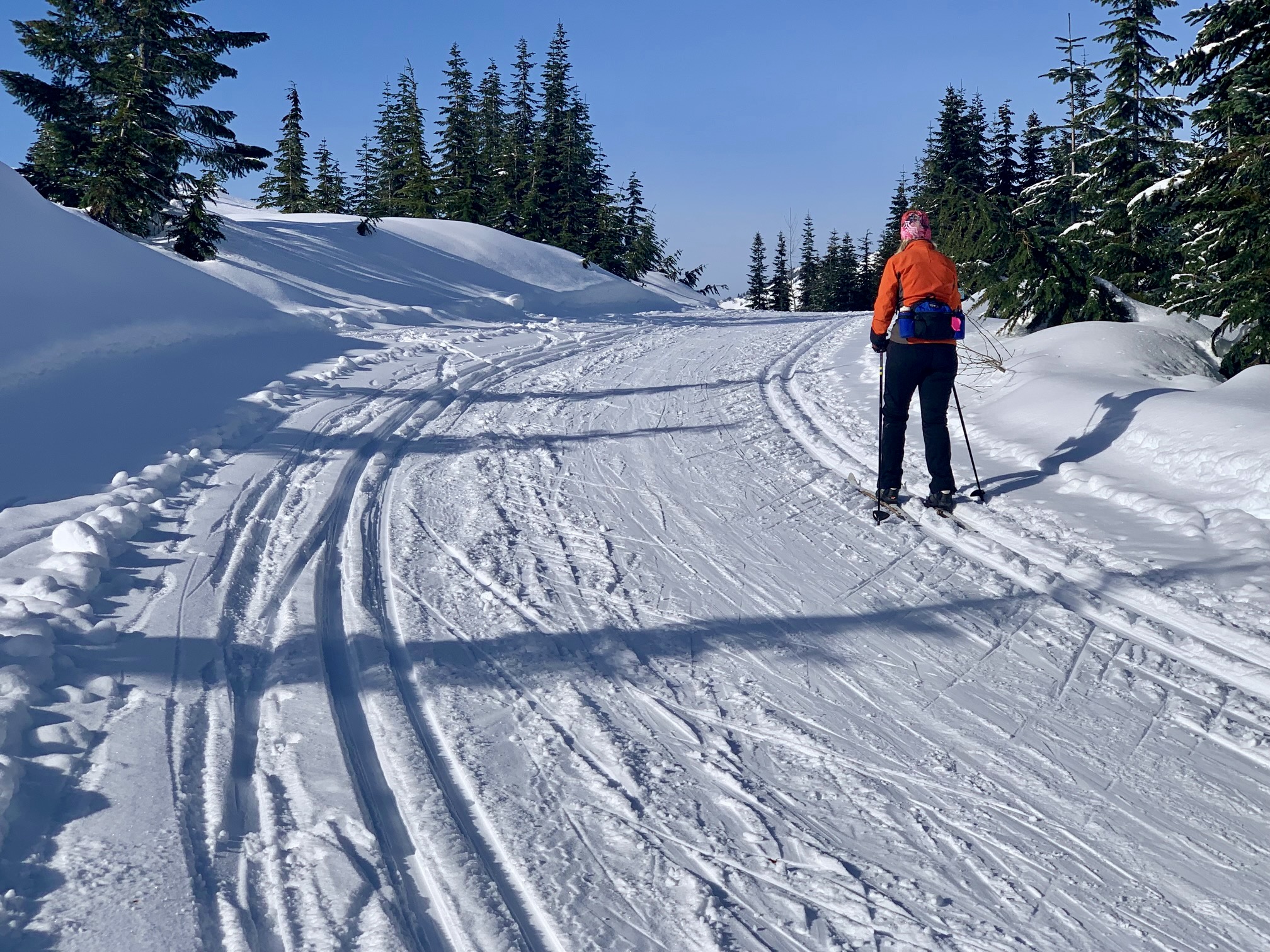
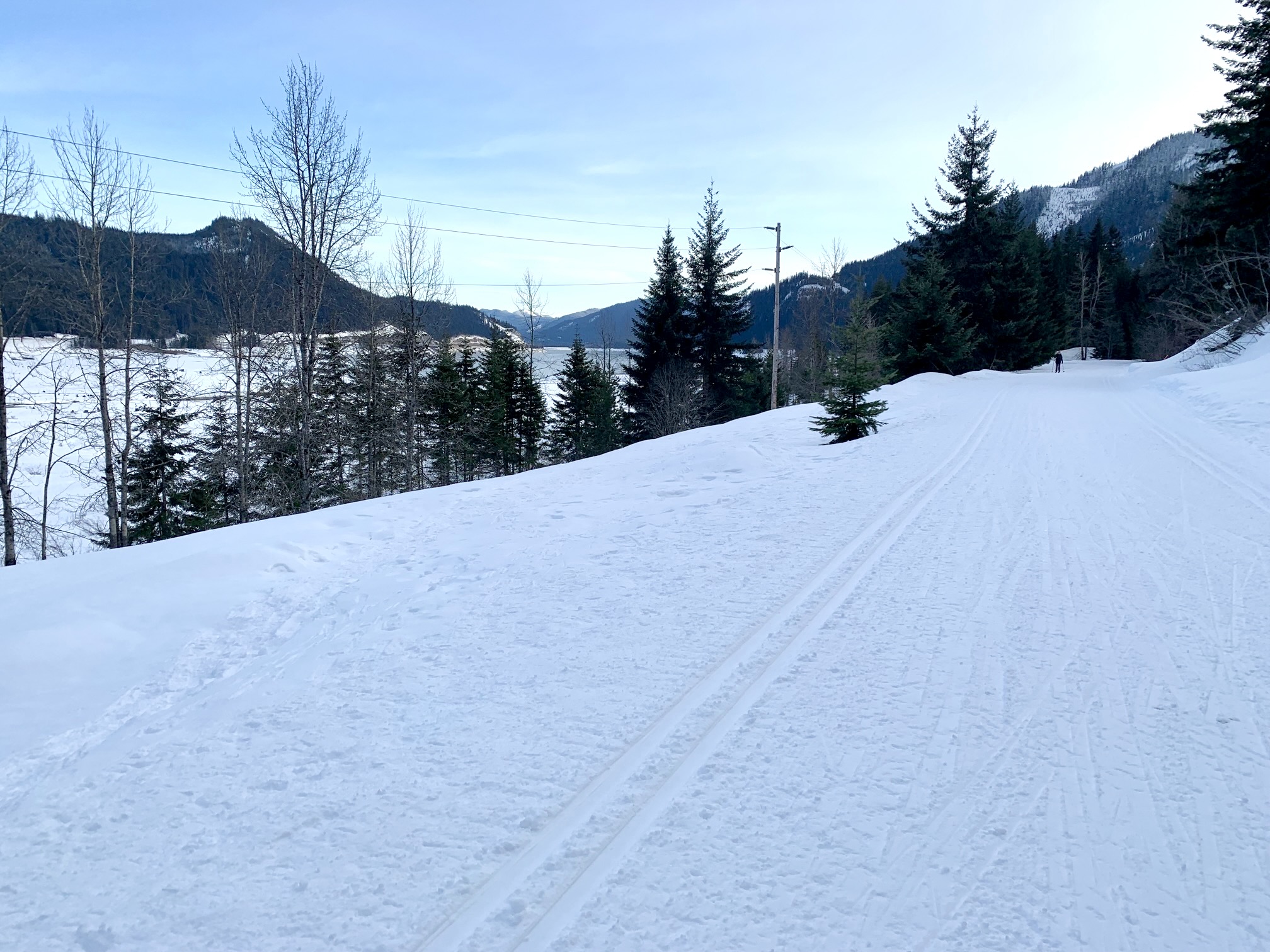
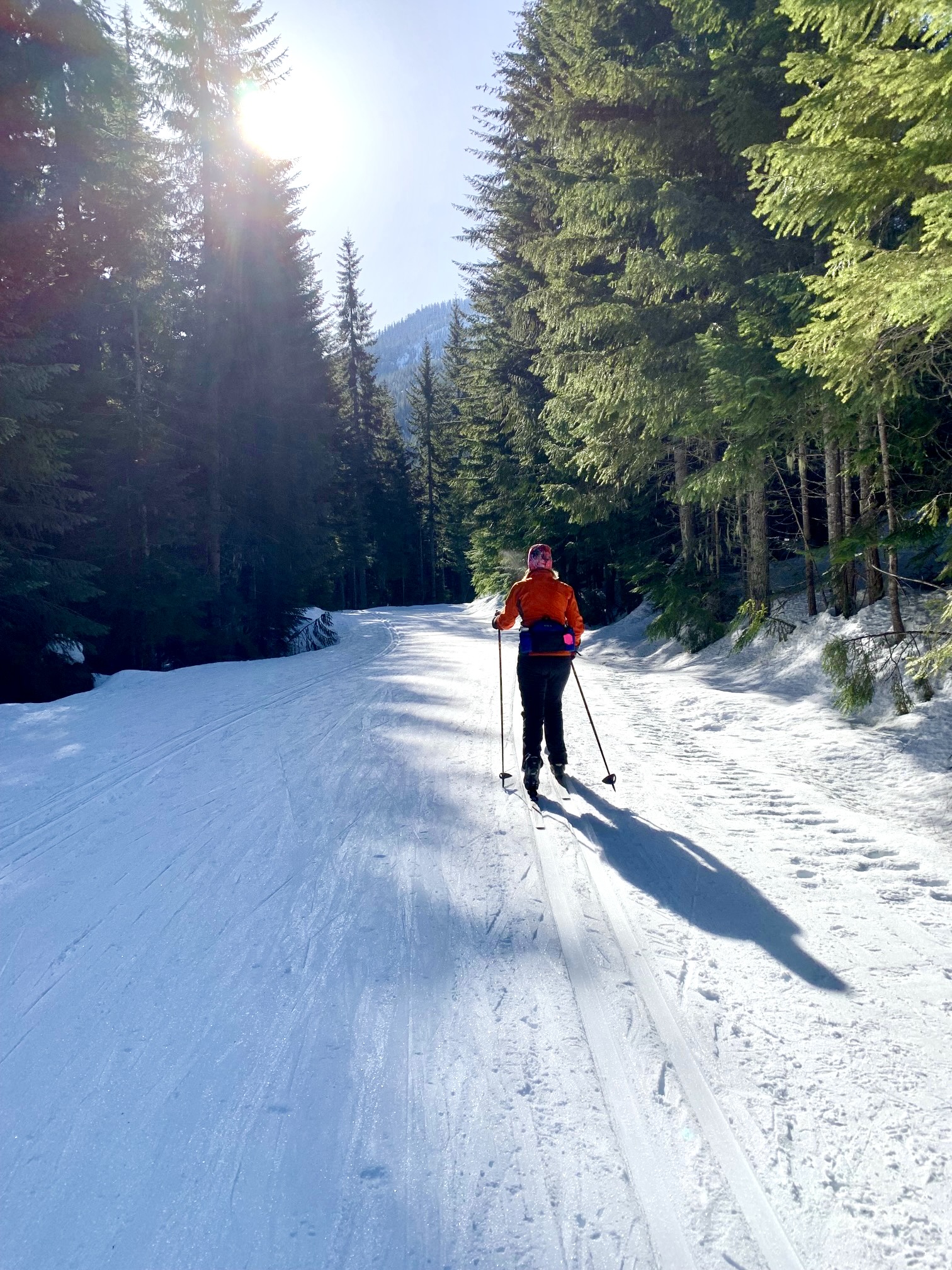
From the southwestern corner of the parking lot, start skiing southward on the wide, flat P2C Trail. After about ¾ mile, the trees on your left side will thin out, giving a view of Keechelus Lake. This natural lake was greatly enlarged by damming the outlet in 1917 to provide an irrigation-water reservoir for the Yakima Valley. In wintertime, the water level is very low, which exposes thousands of stumps that become submerged throughout the summertime. Incidentally, the word keechelus (pronounced “KITCH-i-lus”) means “few fish” in Chinook jargon.
.
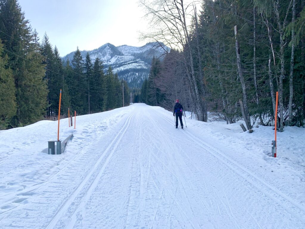
The first mile of the P2C Trail makes a series of very slight right-hand curves as it bends around the hillside. As you progress, you will pass through an open steel gate marked with orange poles. This gate is located on a long straightaway.
.
.
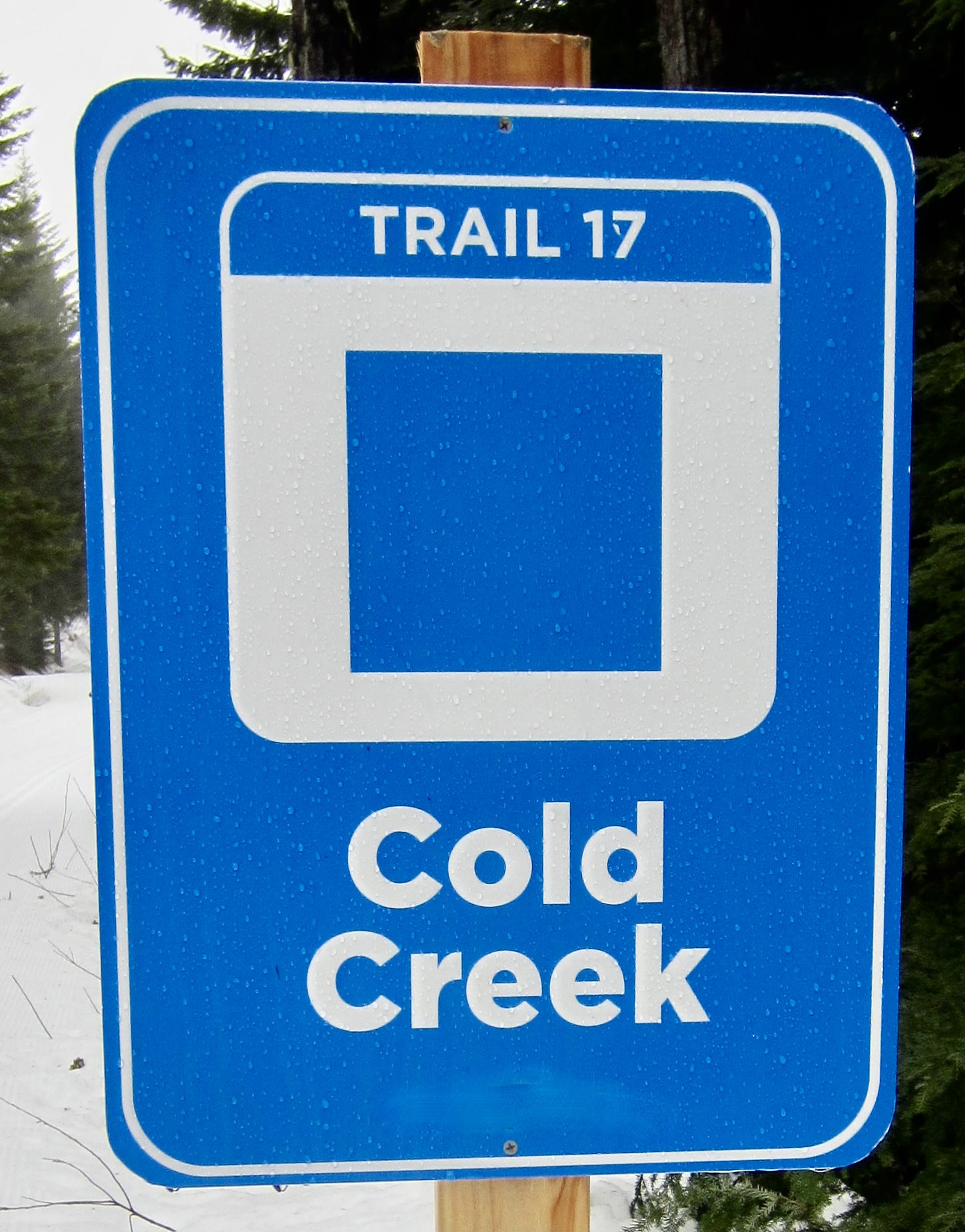
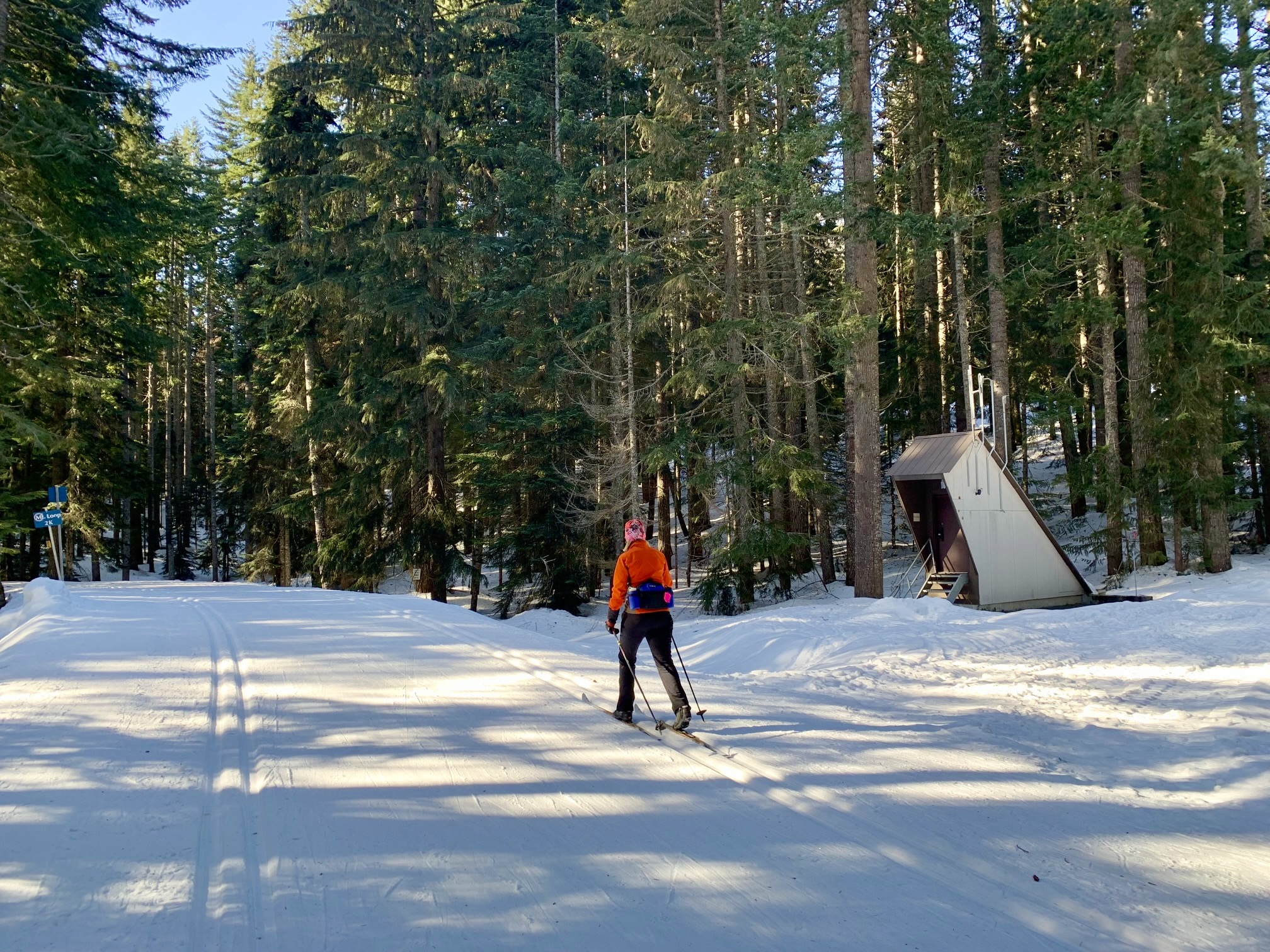
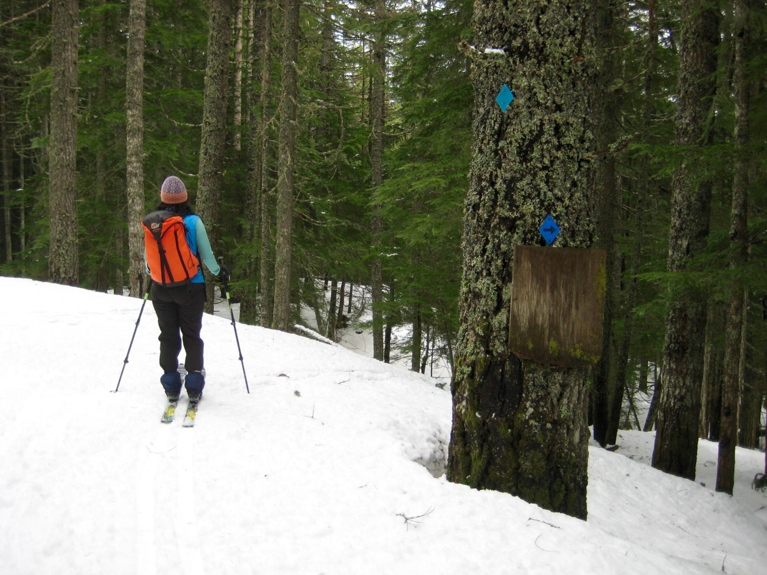
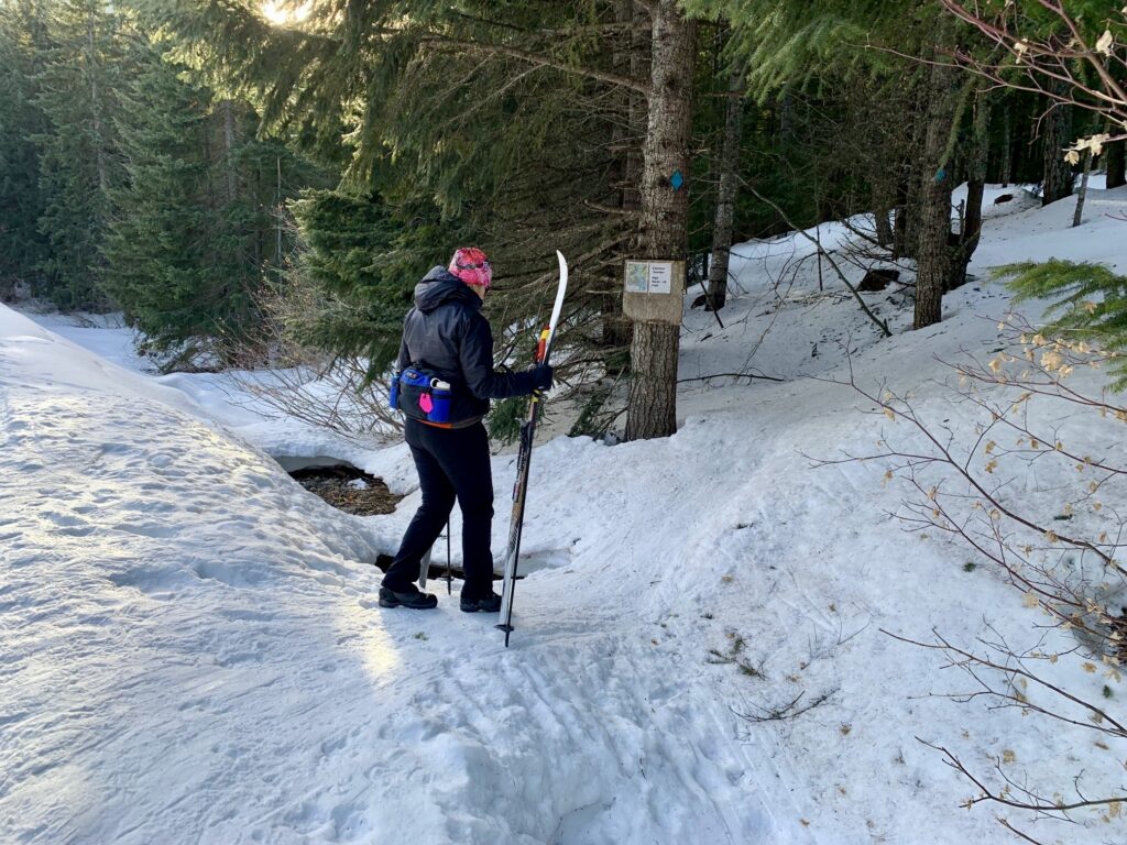
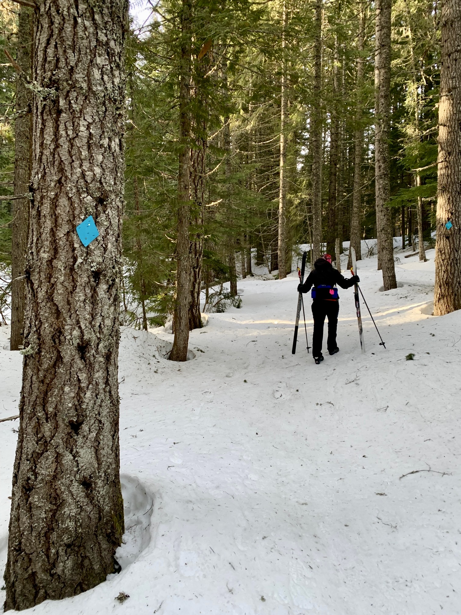
At the end of the long straightaway, the P2C Trail curves slightly back to the left. Just before this left-hand curve (at a point 1¼ miles from the sno-park) look closely to your right for the Connector Trail heading across a ditch and into the forest. This vague trail can be identified by several blue diamonds nailed to adjacent trees. It is easy to miss the start, so keep a sharp eye out. If you come to a small restroom building on the right side of the P2C Trail, you have gone too far; go back ¼ mile and look for the blue diamonds.
.
The Connector Trail is little more than a passageway leading up through the forest. Usually, but not always, it will be tracked out by skis and boots, creating a firm crust. I typically elect to remove my cross-country skis and simply boot up, following tracks and blue diamonds the whole way.
.
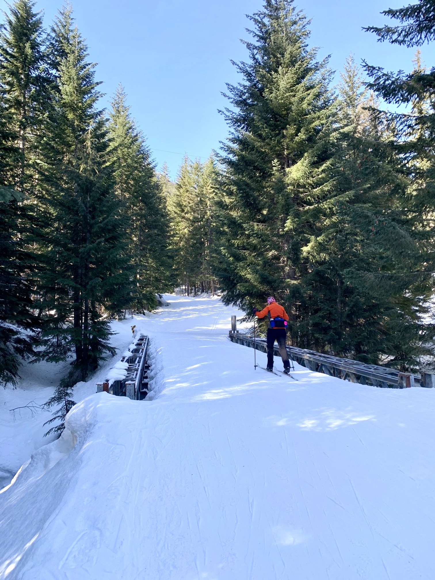
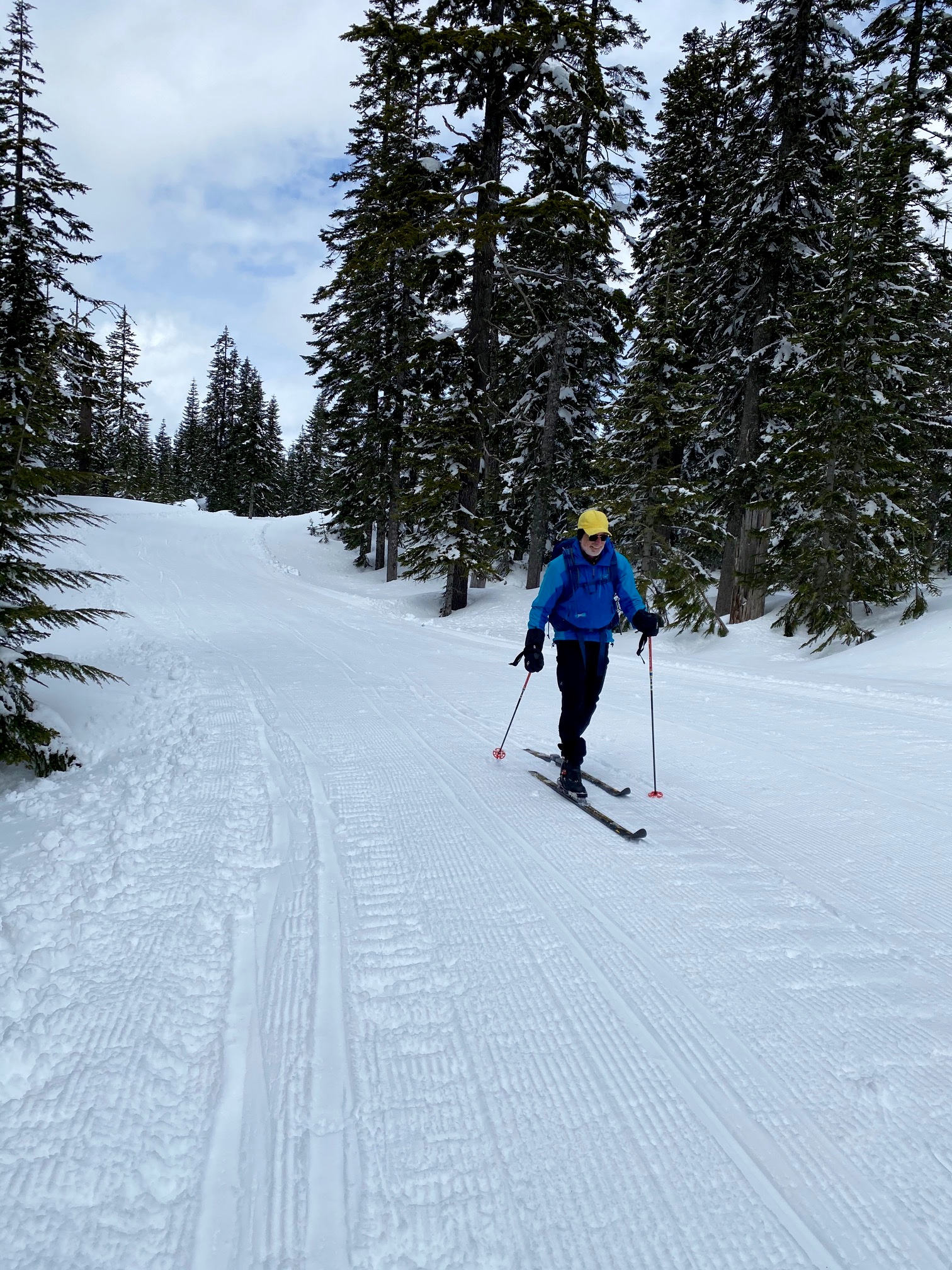
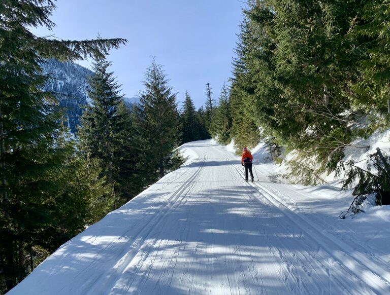
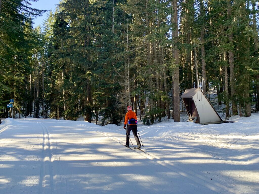
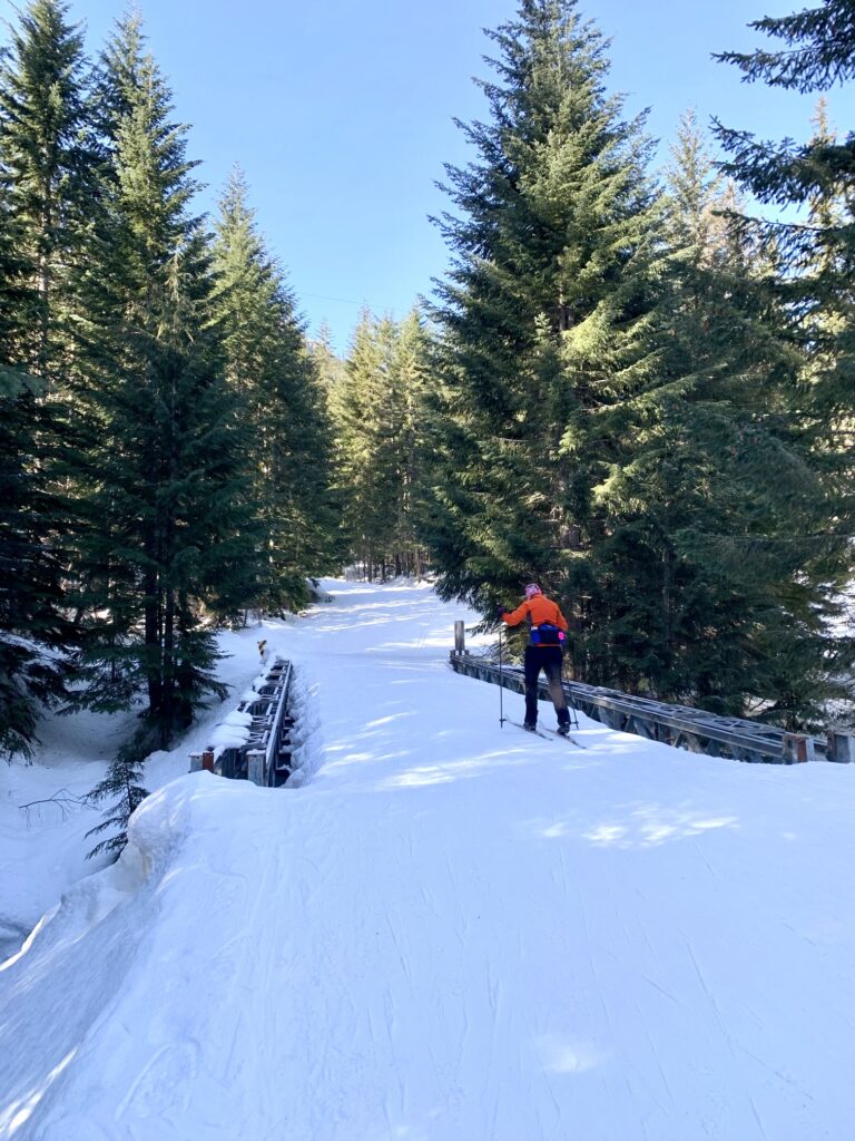
After a short skiing or walking distance of 150 yards, you will arrive at the Cold Creek Trail and beginning of the Common Corridor. Turn left here and start skiing southward on this wide, flat trail, which is regularly groomed throughout the ski season. You will immediately pass an oddly shaped pumphouse building, soon followed by a steel bridge over Mill Creek.
.
.
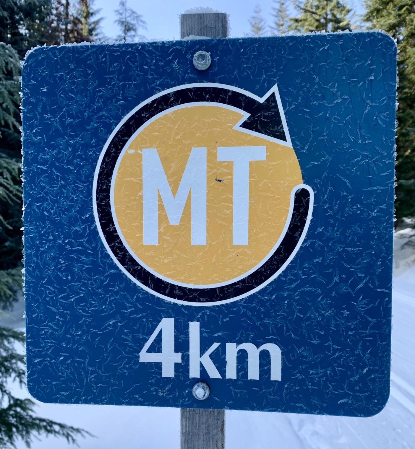
Just beyond Mill Creek, the Cold Creek Trail gets down to business and begins ascending in earnest. You will negotiate two sets of S-curves, then proceed westward through Cold Creek Valley. Along the way, you might notice a few markers indicating your position (in kilometers) on the Mt. Catherine Loop.
.
At a point about ¾ mile from the Mill Creek Bridge, you will pass another groomed ski trail coming downhill from the right. This is the Hidden Valley Trail, part of the for-fee Summit East nordic system. A bit farther along, you will see the Jim Brooks Warming Hut on your left. It’s open to the public, so feel free to pop in and warm up if necessary.
.
A bit beyond the warming hut, the Cold Creek Trail switchbacks out of the valley and makes a long, rising traverse across the densely forested flank of Mt. Catherine. A sign on this part of the trail warns about a potential avalanche zone, but you can take some comfort in knowing that I’ve skied up to Windy Pass more than 50 times over the past 25 years and have seen avalanche debris only twice.
.
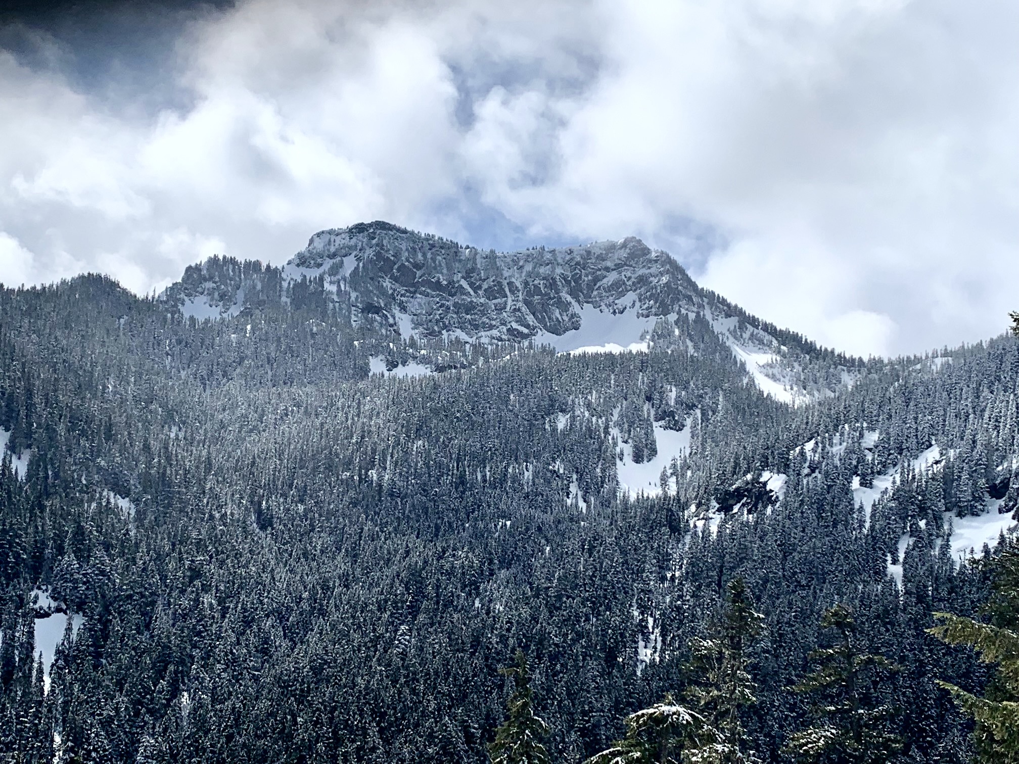
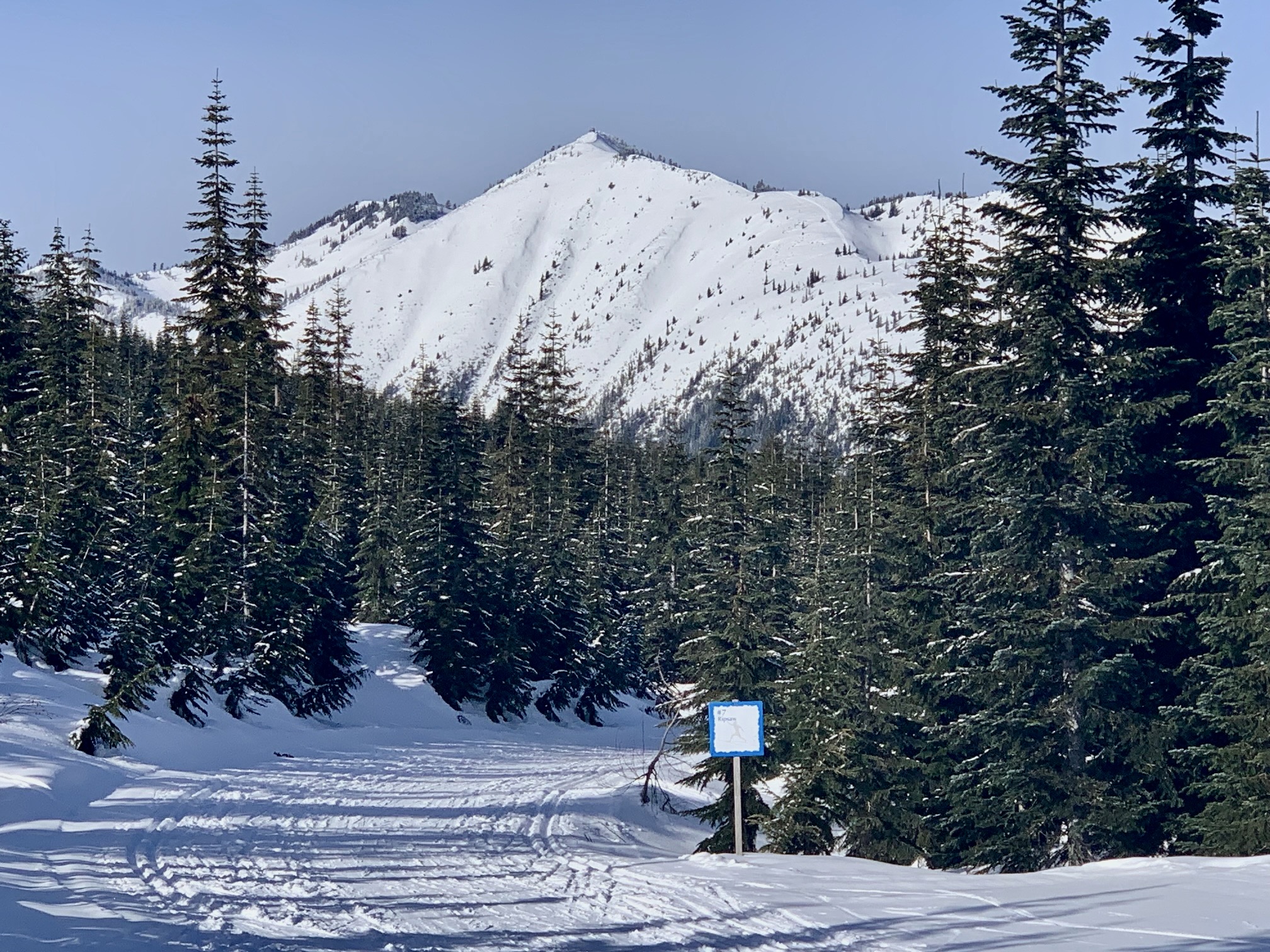
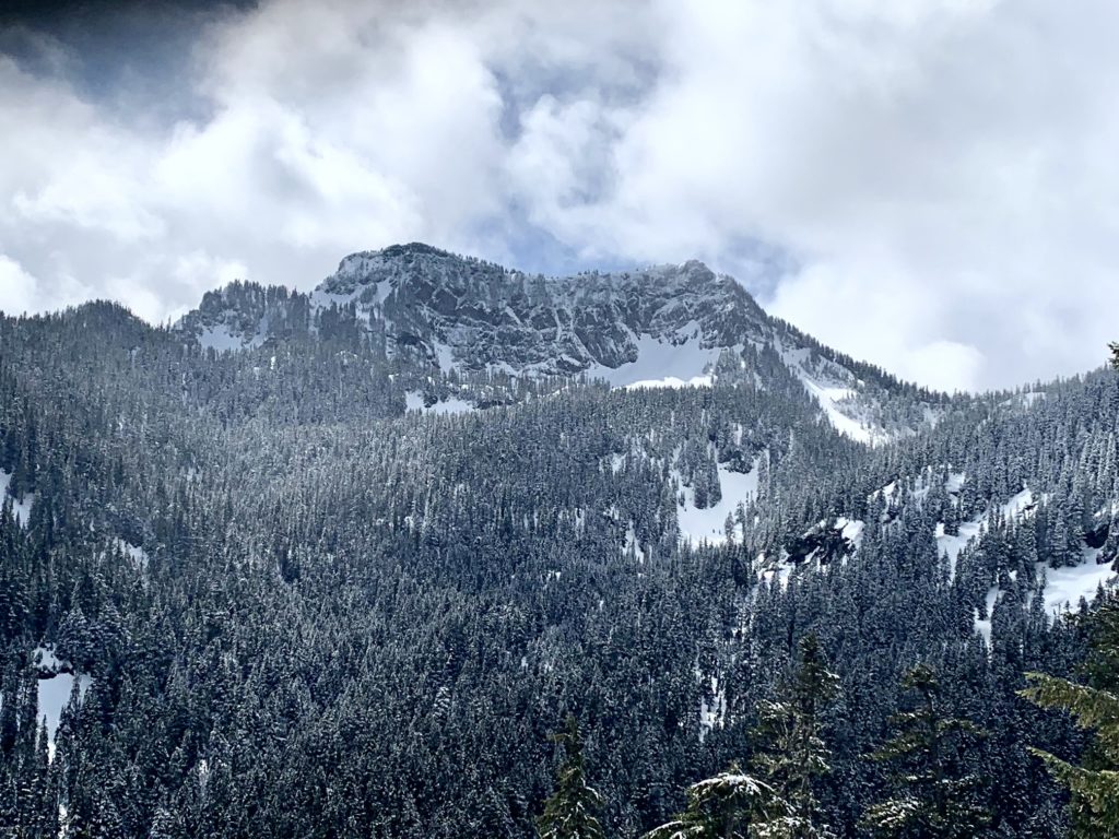
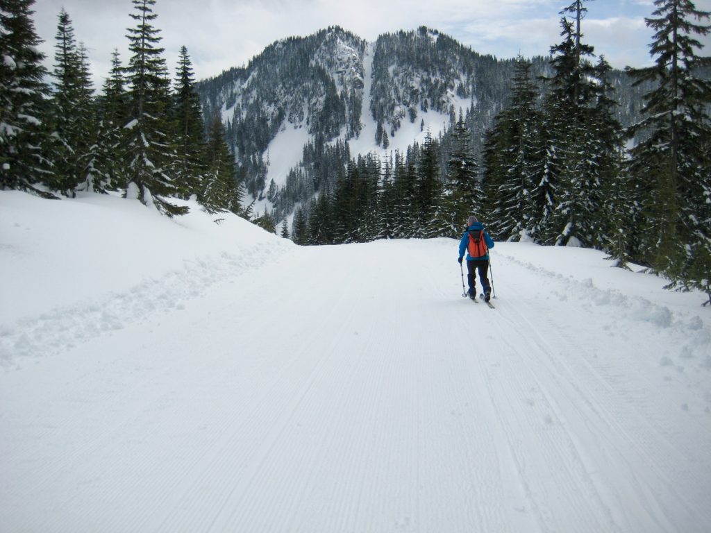
Views improve steadily as the trail gains elevation. On a clear day, you will be treated to a view of Tinkham Peak’s impressive north face, which is bounded by Tinkham Pass on the left and Cold Creek Pass on the right.
.
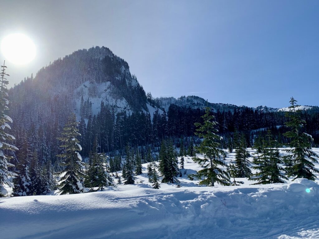
Eventually, the dense forest opens up and you will enter the sparsely forested slopes of Windy Acres—a not-so-old clearcut that is gradually growing back. Shortly beyond, the Cold Creek Trail tops out at 3800-foot Windy Pass.

.
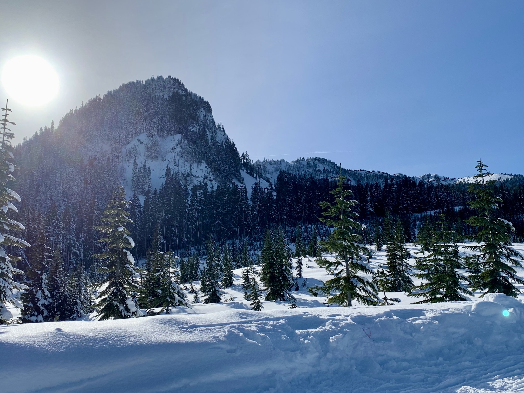
If visibility is good, you will be able to see the sweeping white slopes of Granite Mountain to the north, the craggy ridge of Silver Peak to the west, and the wooded shoulder of Mt. Catherine to the east.

.
.
.
Windy Pass represents the official end of both the Cold Creek Trail and the Common Corridor. As such, skiing past this point requires a nordic ski pass from Summit East (Hyak) Ski Area. If you don’t have a ski pass, you will need to turn around here and enjoy a fun descent back to where you came from. When snow conditions are fast, the first 2 miles of this descent can be thrilling!
.
.
The only tricky navigational part of your descent is finding the upper end of the Connector Trail leading down to the P2C Trail. After crossing the Mill Creek Bridge and then passing the oddly shaped pumphouse, start looking for a wooden signboard and several blue diamonds on the right side of the trail.

.
Slide or boot down the Connector Trail, then finish your tour with an easy ski back along the P2C Trail to Hyak Sno-Park.
Equipment Comments
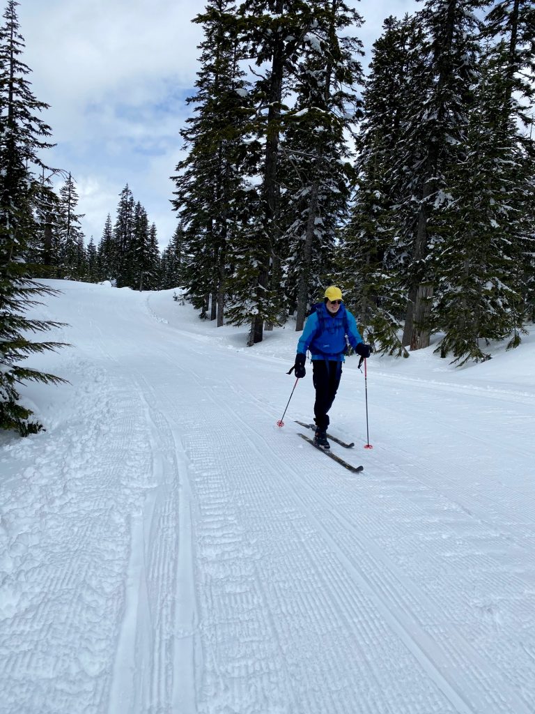
Under favorable snow conditions, the Windy Pass Ski Tour can be readily done on standard cross-country ski gear and even skate-skiing gear. Under difficult conditions, however, such gear will seem less than adequate. Having completed the tour more than 50 times over a span of 25 years, I’ve experienced the full gamut of trail conditions, ranging from well-groomed “corduroy” to completely ungroomed “backcountry” snow.
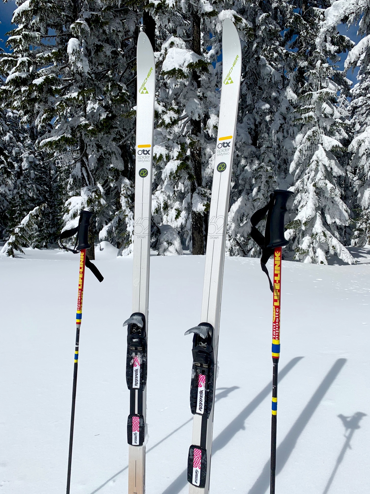
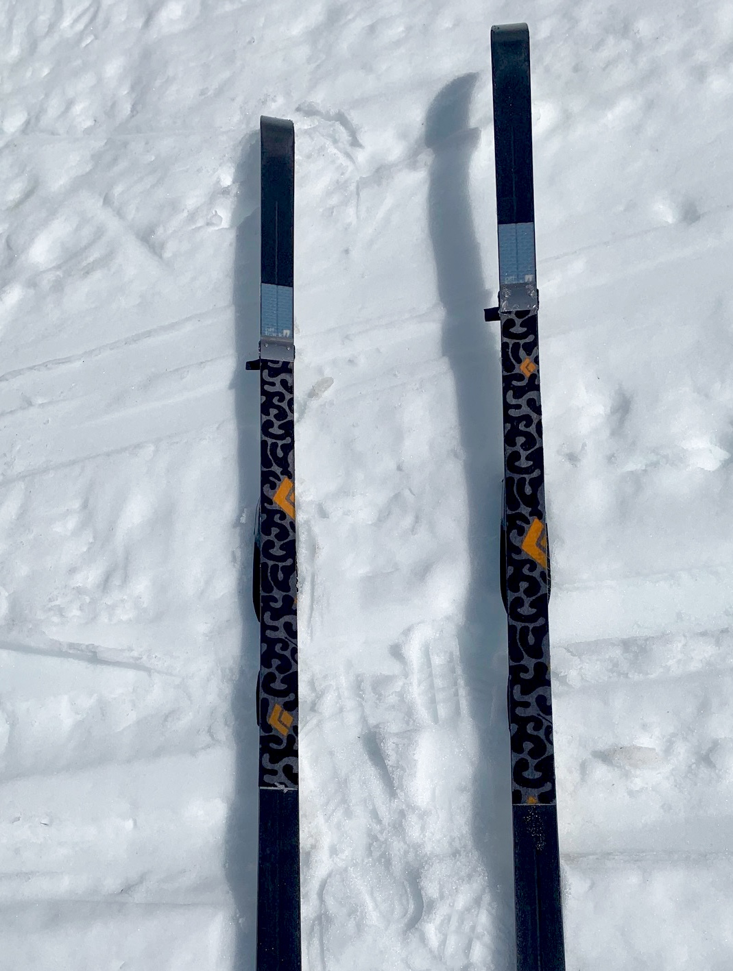
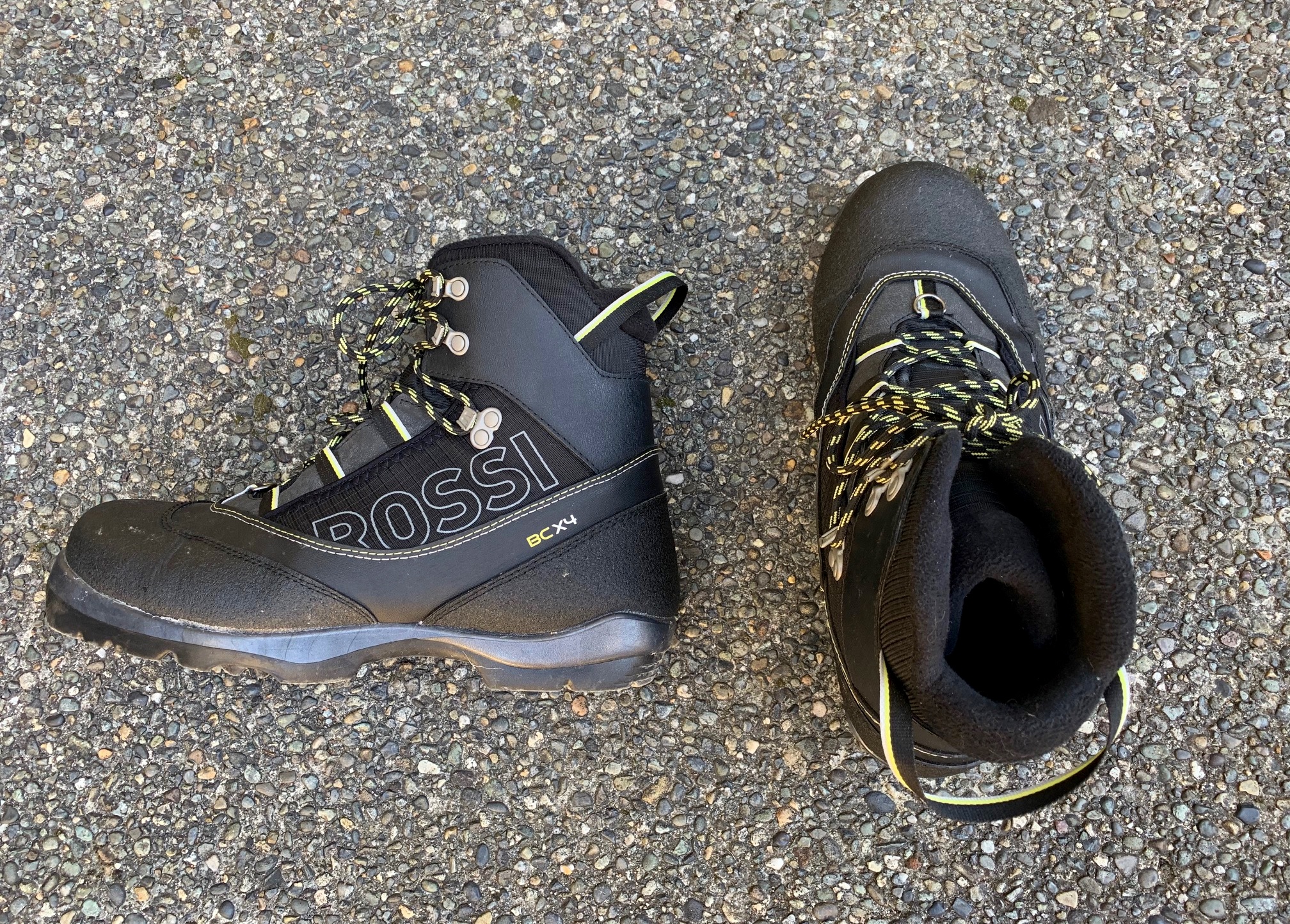
My preferred all-purpose cross-country ski has a full metal edge, a fishscale base, and a width between 60mm and 65mm. This cross-country/backcountry (XC/BC) hybrid nordic ski will fit in the grooves of a groomed ski track but is also capable of handling everything from hard crust to deep powder. I mate these skis with NNN-BC boots and bindings, which provide more control and robustness. In addition, I carry short “kicker skins” for skiing uphill on icy snow. I also use an adjustable ski pole, which can be shortened for the ascent and lengthened for the descent.
For more information regarding the various equipment that I often use for this particular trip and that I typically use for other trips of this type, see my gear discussions and reviews on the following pages:
>>> XC/BC Hybrid Nordic Ski Touring Gear
>>> Wintertime Comfort Accessories
.
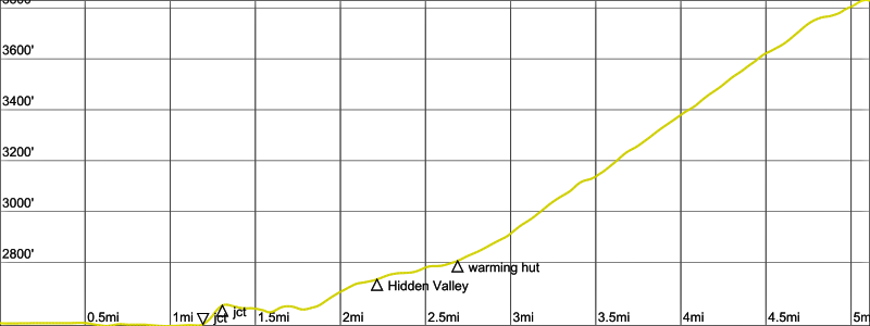
Route Map & Profile
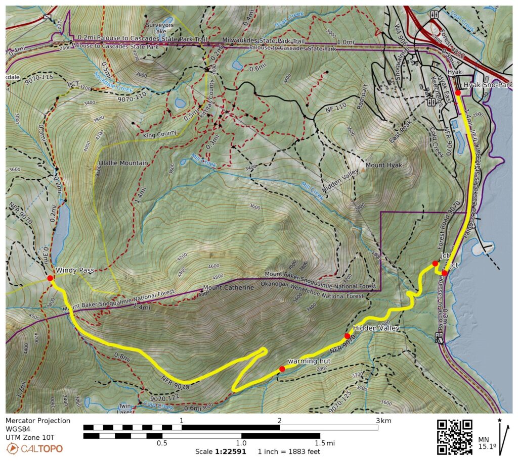
…
…
Photo Gallery
Click to enlarge…