Originally Posted: April 2025
Updated: March 2026
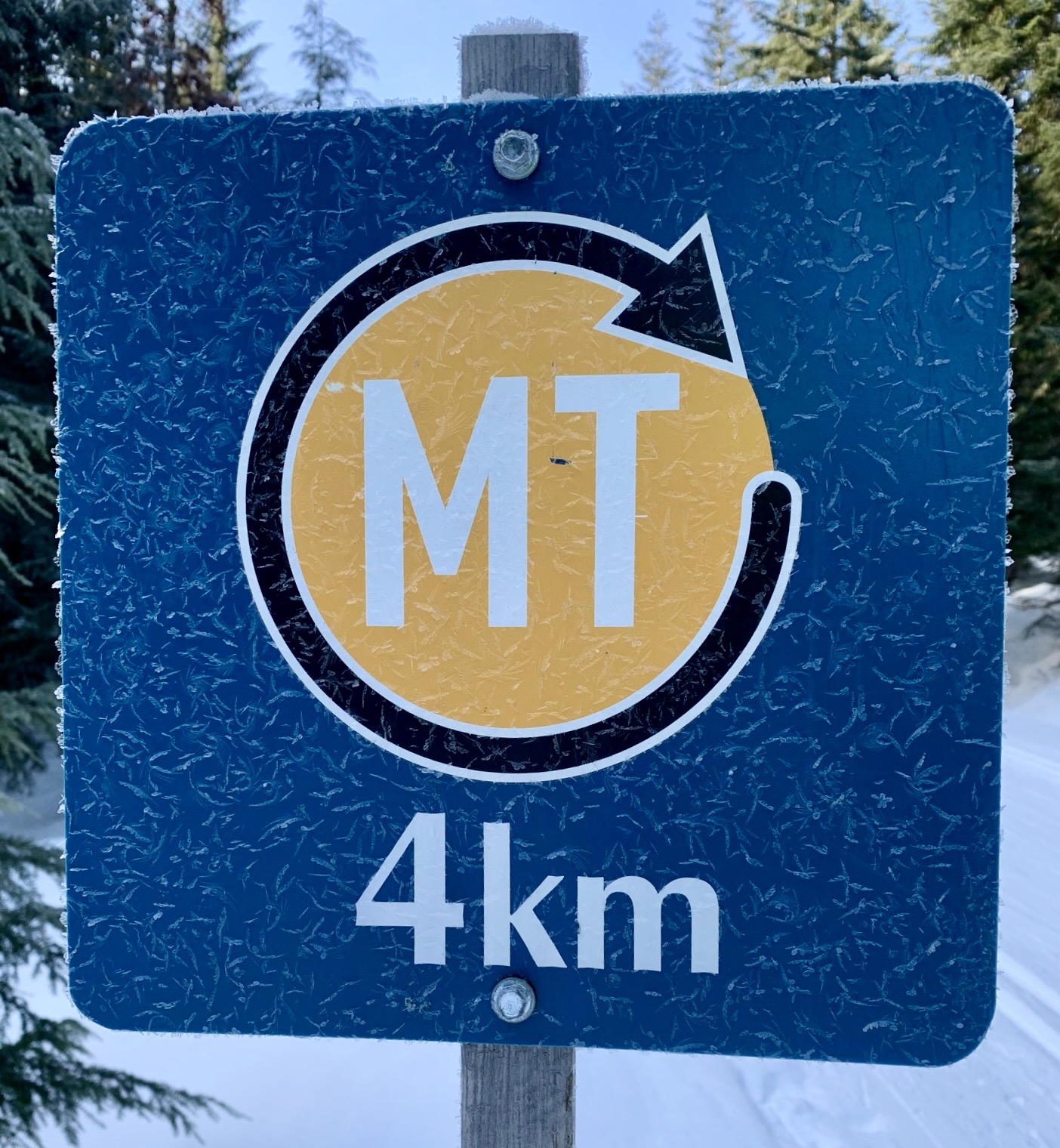
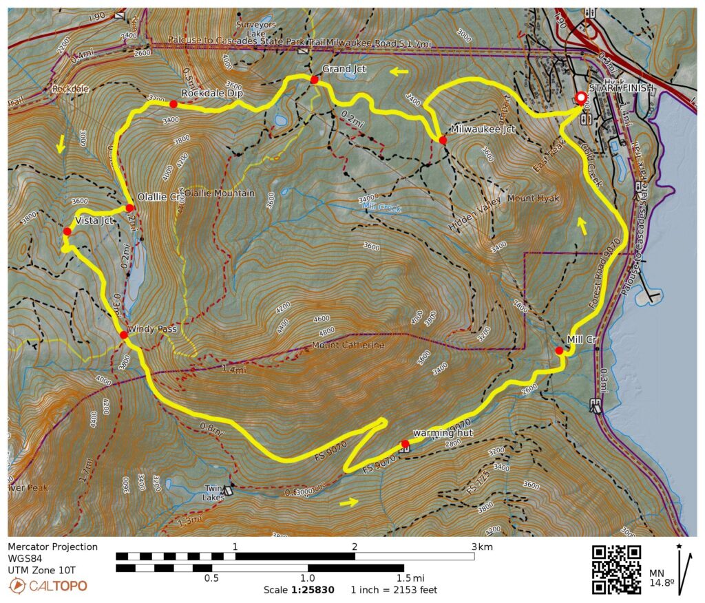
Mt. Catherine Ski Loop: counterclockwise
Summit East (Hyak) Ski Area
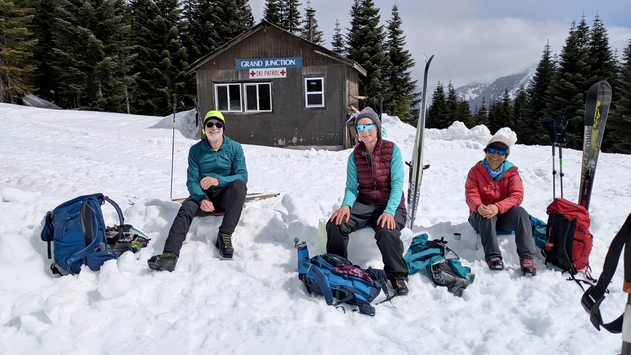
Grand Junction
Rockdale Dip
Windy Pass
Cold Creek Valley
Route Summary
Region: Central Washington Cascades
Sub-Region: Iron Horse Mountains
Area: Okanogan–Wenatchee National Forest
Starting & Ending Point: Summit East (Hyak) Ski Area base lodge off Interstate-90 at Exit 54 (Elev. 2600 feet)
Way Points: Creek Run ski trail junction & Milwaukee Junction & Grand Junction & Rockdale Creek culvert & Rockdale Dip & Olallie Creek culvert & Vista Junction & Windy Pass & Jim Brooks Warming Hut & Mill Creek Bridge & Hyak Ski Area (ski tour via Creek Run Trail—Milwaukee Ridge Trail—Sunrise Trail—Ripsaw Trail—Cold Creek Trail)
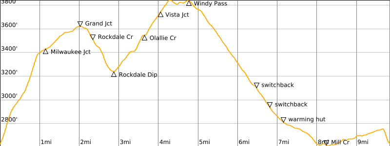
High Point: Windy Pass (Elev. 3800 feet)
Approximate Stats: 9.9 miles / 15.9 kilometers traveled; 1750 feet gained & lost.
Typical Season: early December thru late April
Related Post
>>> Windy Pass Ski Tour via Palouse-to-Cascades Trail—Cold Creek Trail (detailed route description)
Information Sources
The following links provide helpful information for planning this ski tour. Even these information sources, however, should not be taken as a substitute for having the fitness, knowledge, equipment, and clothing required for ski touring.
>>> Grooming report for Summit at Snoqualmie nordic trails & Mt Catherine Loop
>>> WSDOT road reports for Interstate-90 and Snoqualmie Pass
>>> National Weather Service weather forecast for Snoqualmie Pass area
>>> Northwest Avalanche Center avalanche forecast for Snoqualmie Pass area
>>> Other easy to intermediate ski tours in the I-90 / Snoqualmie Pass corridor
Route Overview
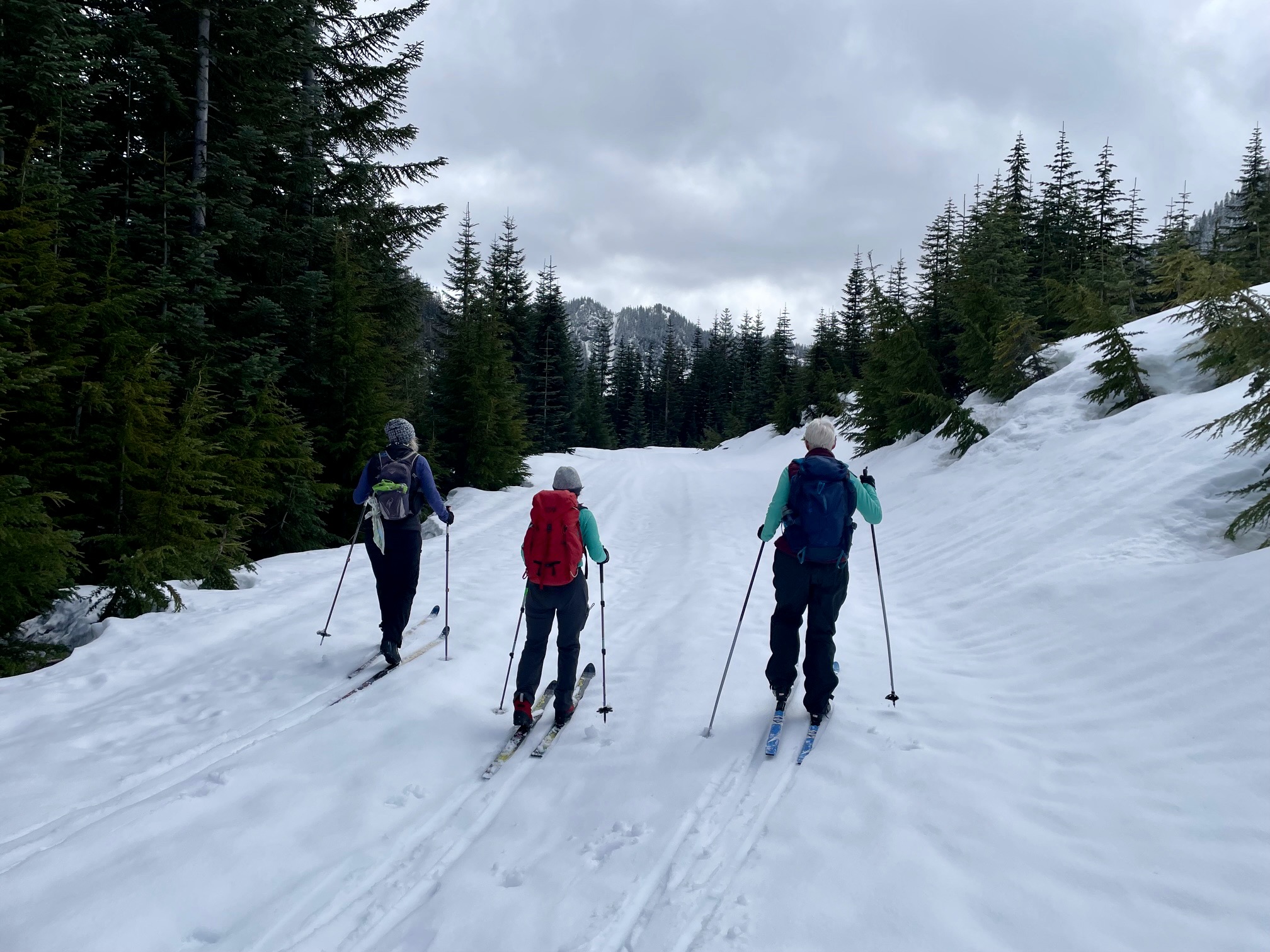
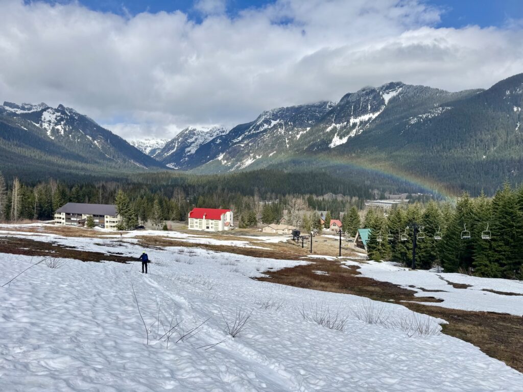
The Mt. Catherine Loop is a popular cross-country ski tour in the Hyak area near Snoqualmie Pass. During the winter and early spring months, the Summit East Ski Area regularly grooms the complete loop, and they sell a Nordic Ski Pass that allows use of these nicely groomed trails. The ski pass also includes a chair lift ride to or from the top of Milwaukee Ridge, for the benefit of skiers who want to avoid a steep ascent or descent (depending on direction) through the alpine ski area. My preferred tour, as described herein, constitutes a full counterclockwise loop that starts and ends at the ski area’s base lodge, with no chair lift ride.
If you want to take advantage of the best groomed snow conditions, the Mt. Catherine Loop should be done during the ski area’s operating days. Purchase your Nordic Ski Pass on-line in advance and then pick it up at the base lodge. However, if you are ok skiing on trails that are not freshly groomed and if you want more solitude, do the loop during one of the ski area’s shut-down days (typically Monday through Thursday, except holidays). Alternatively, you could go before the ski area opens in the winter (typically late December), or after the ski area closes in the spring (typically late March or early April). During any of these periods of ungroomed conditions, the loop could be considered a cross-country/backcountry (XC/BC) hybrid nordic ski tour, as defined here.
A word of caution: As of the 2024-25 season, the Summit East Ski Area began requiring an Uphill Travel Pass to ski up the initial snow slopes. It is not clear to me, however, whether this policy applies to the ski area’s shut-down days. Considering that the policy’s main purpose is to prevent conflicts and collisions between uphill and downhill travelers, one would assume that the answer is “no.” Time will tell whether this assumption is correct.
.
Parking Comments
Convenient parking can be found at any of the three Summit East Ski Area parking lots (designated E-1, E-2, and E-3). Beginning with the 2025-26 winter season, the ski area has implemented a new parking policy. The good news is that this new policy is less restrictive and less costly than the former policy. The bad news is that it is more convoluted than before. You can read the full official version here, but I will attempt to summarize the key points below.
- Parking in any of the three lots costs $15 on every Friday, Saturday, and Sunday throughout the operating season, as well as during Christmas break, MLK Day, and Presidents Day.
- Parking is free on Monday through Thursday throughout the operating season, except for the special days noted above.
- Parking is always free for season-pass holders and lift-ticket holders.
- Parking is always free before the operating season begins and after it ends.
Full Route Description
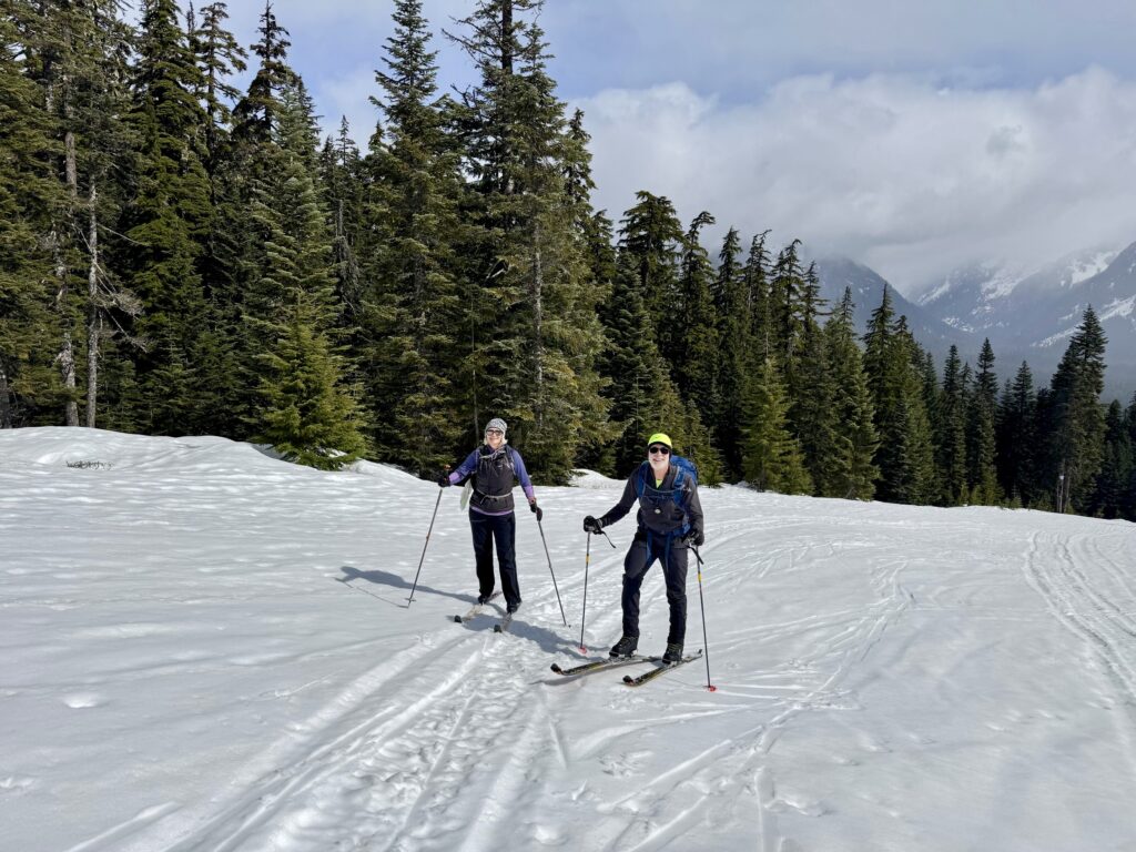
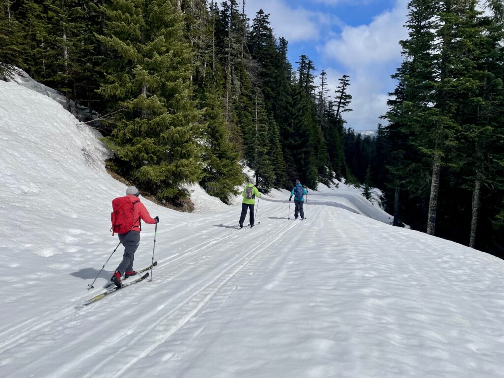
From the base lodge area at Summit East Ski Area, begin skiing or booting up the right-hand side of the main ski run. Climbing skins are very useful if skiing up, but zigzagging usually works too. Once past the highest residence but still below the large water tank, veer right onto Creek Run Trail #11—a combination alpine/nordic ski trail. Follow Creek Run Trail as it initially climbs at a gentle grade, crosses under a chairlift, and then curves up to the left at a much steeper grade.
.
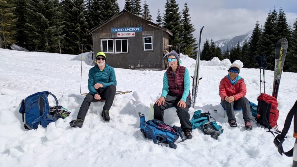
At the top of the steep ski slope, Creek Run Trail intersects at a relatively flat and narrow trail that descends from Milwaukee Ridge. Turn left and follow Milwaukee Ridge Trail #10 uphill for about 200 yards to Milwaukee Junction. Here, look for a marked nordic ski trail called Sunrise #9 heading off to the right. Follow this nordic trail as it wanders through dense forest for 1 mile. Eventually, you will break out of the forest and arrive at Grand Junction (2.0 miles / 3.2 kilometers + 1000 feet from start), which can be identified by a large signboard and a nice warming hut.
.
At Grand Junction, look for Ripsaw Trail #6 heading off to the west. Take this trail as it curves around a hillside and then makes a very steep descent—probably the steepest descent of the entire loop. The trail levels off for a short distance before transitioning to Ripsaw Trail #4 and descending steeply again. You will finally bottom out at Rockdale Dip (2.9 miles / 4.7 kilometers from start), where Ripsaw Trail crosses under a set of powerlines and gives a view of Interstate-90 far below.
.
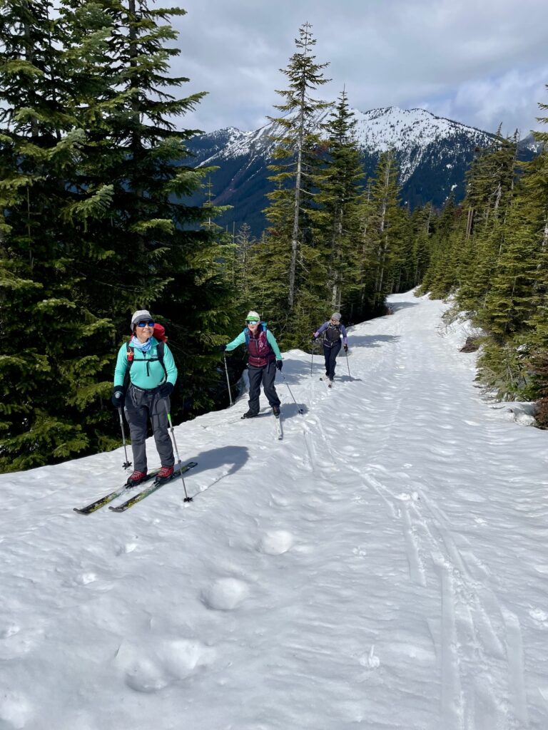
From Rockdale Dip, Ripsaw Trail begins climbing at a moderately steep grade for 1 mile to a crossing of Olallie Creek, then eases back for another ⅓ mile before coming to a sharp left-hand switchback at Vista Junction (4.1 miles / 6.6 kilometers + 1500 feet from start). Continue onward as the trail makes a gentle, curvy ascent along the lower edge of a vast, old clearcut known as Windy Acres.

.
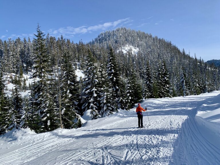
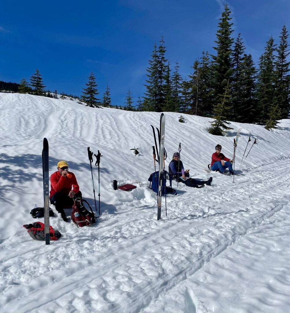
Soon after passing Windy Acres Trail #3 coming in from the right, you will arrive at 3800-foot Windy Pass (4.8 miles / 7.7 kilometers + 1600 feet from start). The actual pass is difficult to identify, but it is very close to an oblique junction with Ollie’s Slide Trail #5. Being the high point of the entire Mt. Catherine Loop, Windy Pass is a good place to stop for a snack and to don more clothing in preparation for the upcoming descent.
.
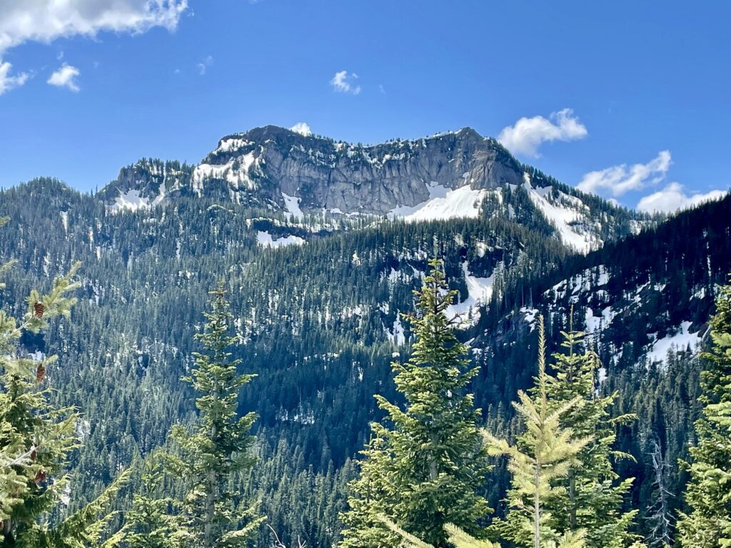
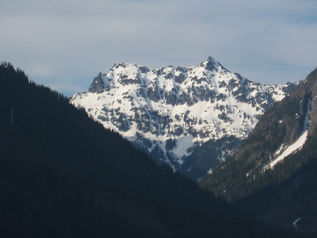
From Windy Pass, continue skiing along Cold Creek Upper Trail #2 as it makes a long, moderately steep descent into Cold Creek Valley. If visibility is good, look back up-valley to your right to get a view of the impressive north face of Tinkham Peak.
.
.
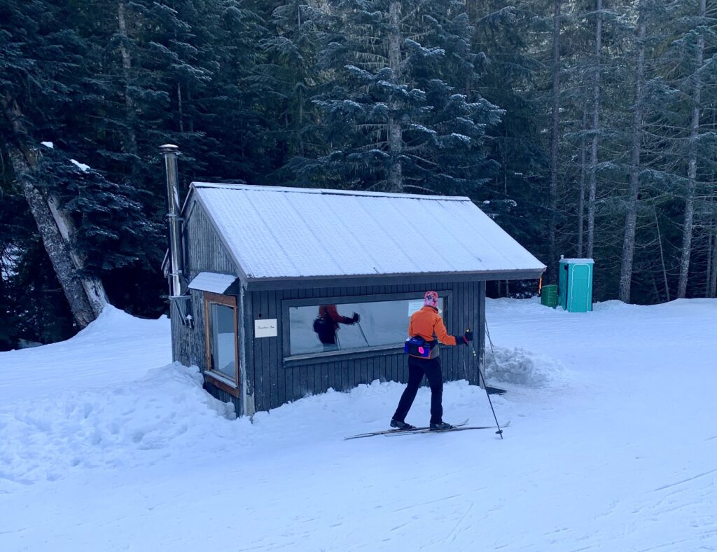
You will negotiate two tight switchbacks before the trail mellows out and passes the venerable little Jim Brooks Warming Hut (7.2 miles / 11.6 kilometers from start). This is a good place to stop on a really cold, rainy, or snowy day; otherwise, I recommend that you just keep going on what is now called Cold Creek Lower Trail #1 .
.
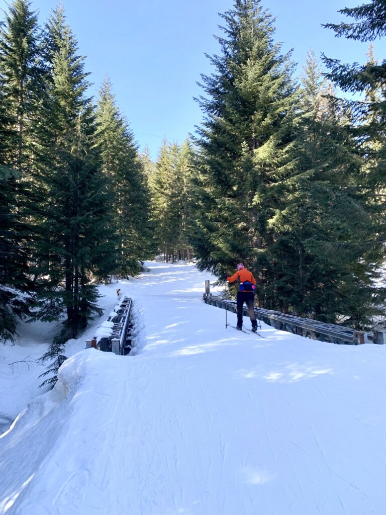
A series of flat trail segments and short descents deliver you to the Mill Creek Bridge (8.2 miles / 13.2 kilometers from start). From here, Cold Creek Lower Trail completely flattens out and then makes a slightly rising 1-mile traverse across the hillside above Keechelus Lake. You might be lucky enough to see the horn-like summit of Chikamin Peak beyond the lake.
.
.
At the end of the traverse, you will arrive back at the Summit East Ski Area. The only thing left to do is descend the steep ski run, angling toward the large, red-roofed condominium building at the bottom. Depending on your skill level and equipment capabilities, you might choose to either ski down or boot down the ski run, thereby ending your counterclockwise loop (9.9 miles / 15.9 kilometers + 1750 feet from start).
.
Equipment Comments
Under favorable snow conditions, the Mt. Catherine Loop can be readily done on standard cross-country ski gear and even skate-skiing gear. Under difficult conditions, however, such gear will seem less than adequate. This is especially true if you are doing it before the grooming season begins or after it ends. Having completed the loop numerous times over a span of 10 years, I’ve experienced the full gamut of trail conditions, ranging from well-groomed “corduroy” to completely ungroomed “backcountry” snow.
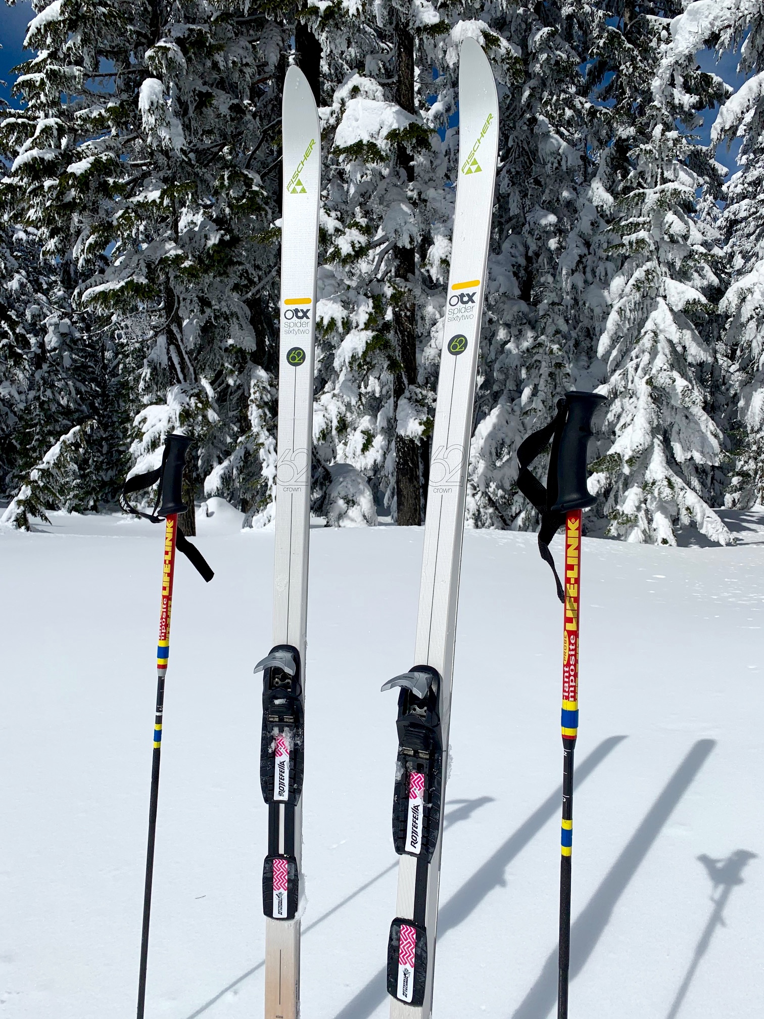
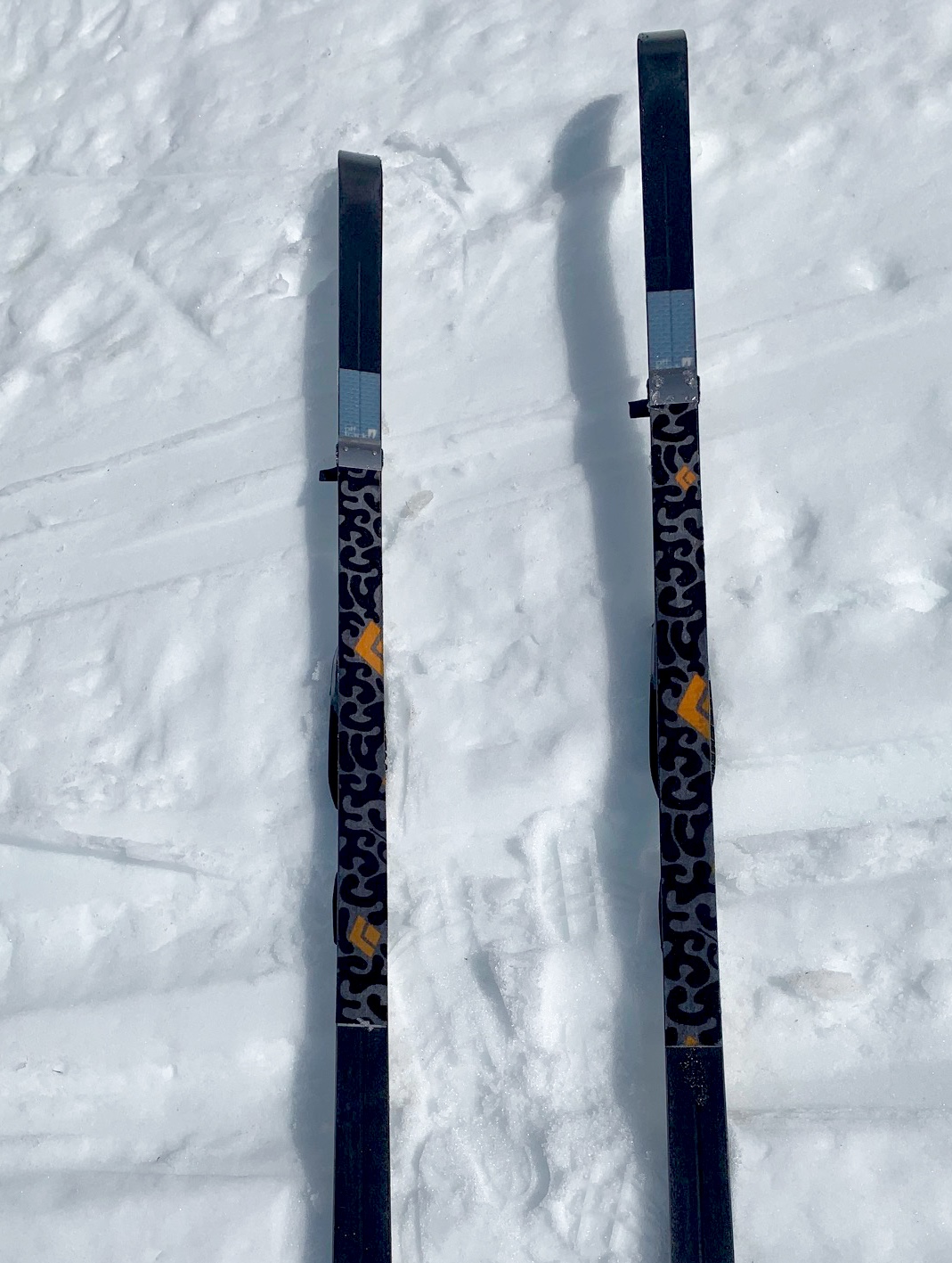
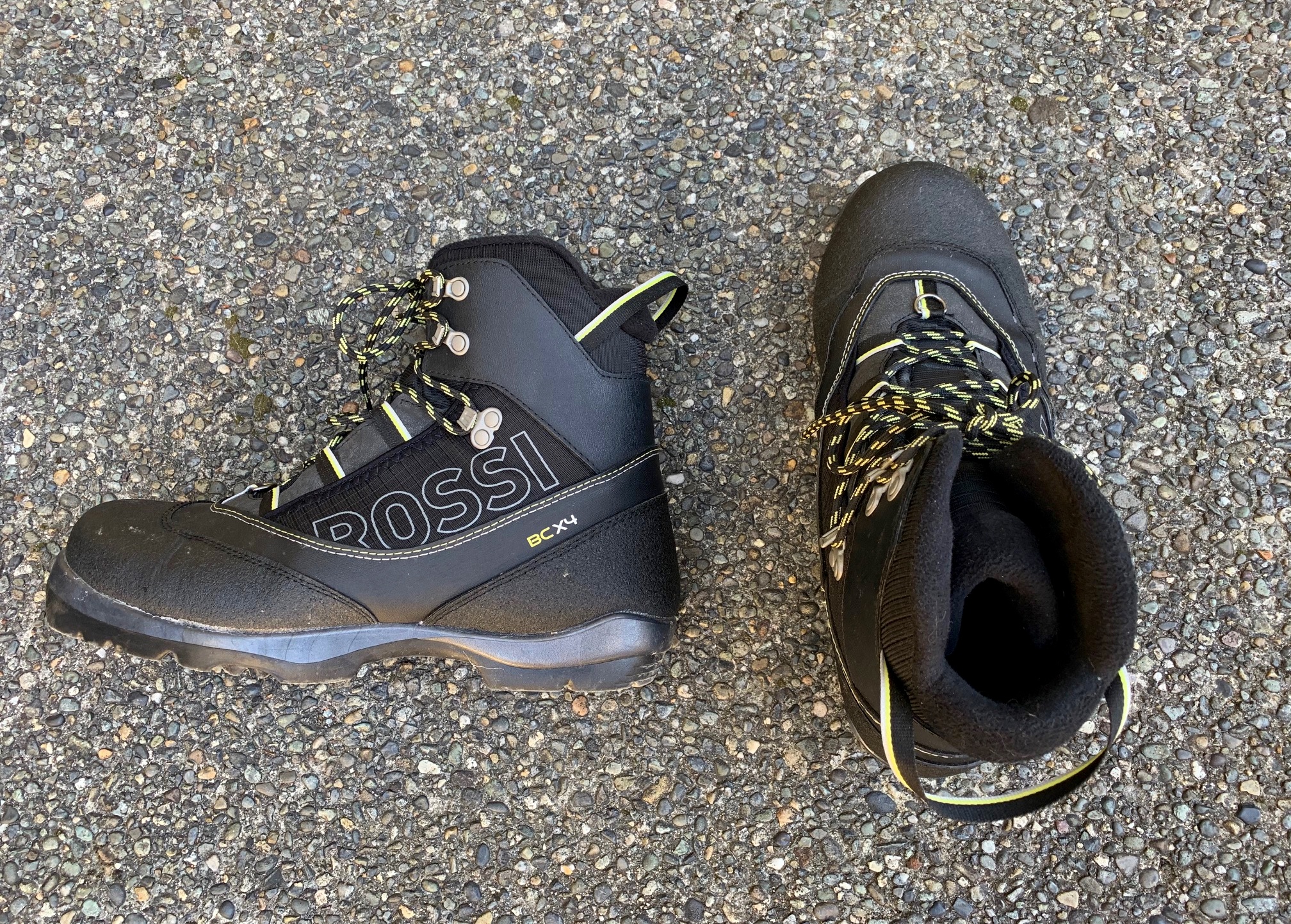
For the full loop, my preferred all-purpose ski has a full metal edge, a fishscale base, and a width between 60mm and 65mm. This cross-country/backcountry (XC/BC) hybrid nordic ski will fit in the grooves of a groomed ski track but is also capable of handling everything from hard crust to deep powder. I mate these skis with NNN-BC boots and bindings, which provide more control and robustness. In addition, I carry short “kicker skins” for skiing uphill on icy snow. I also use adjustable ski poles, which can be shortened for the climbs and lengthened for the flats and descents.
For more information regarding the various equipment that I use for this particular trip and that I typically use for other trips of this type, see my gear discussions and reviews on the following pages:
>>> XC/BC Hybrid Nordic Ski Touring Gear
>>> Wintertime Comfort Accessories
…
Route Maps & Profile
…
…

…
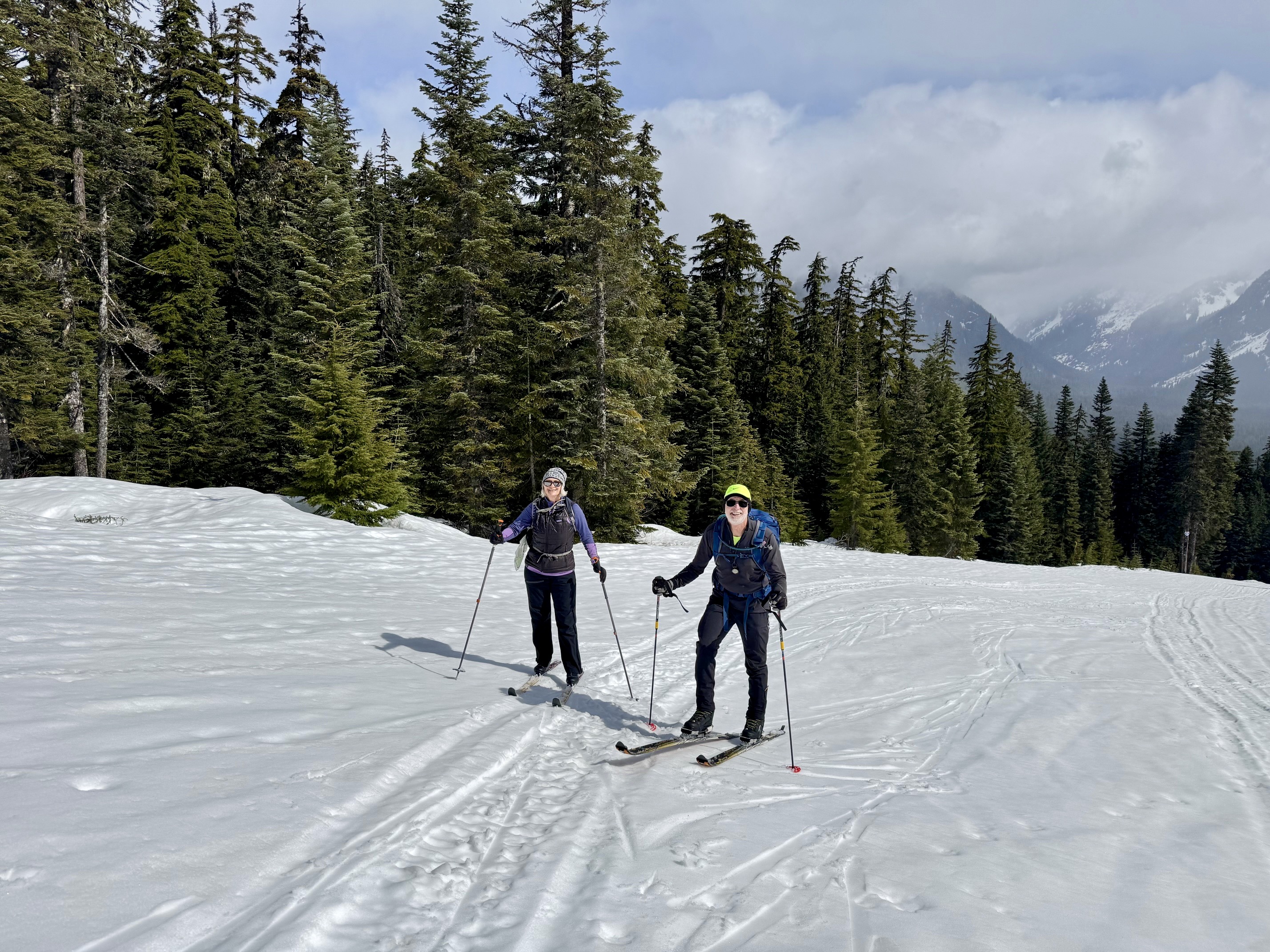
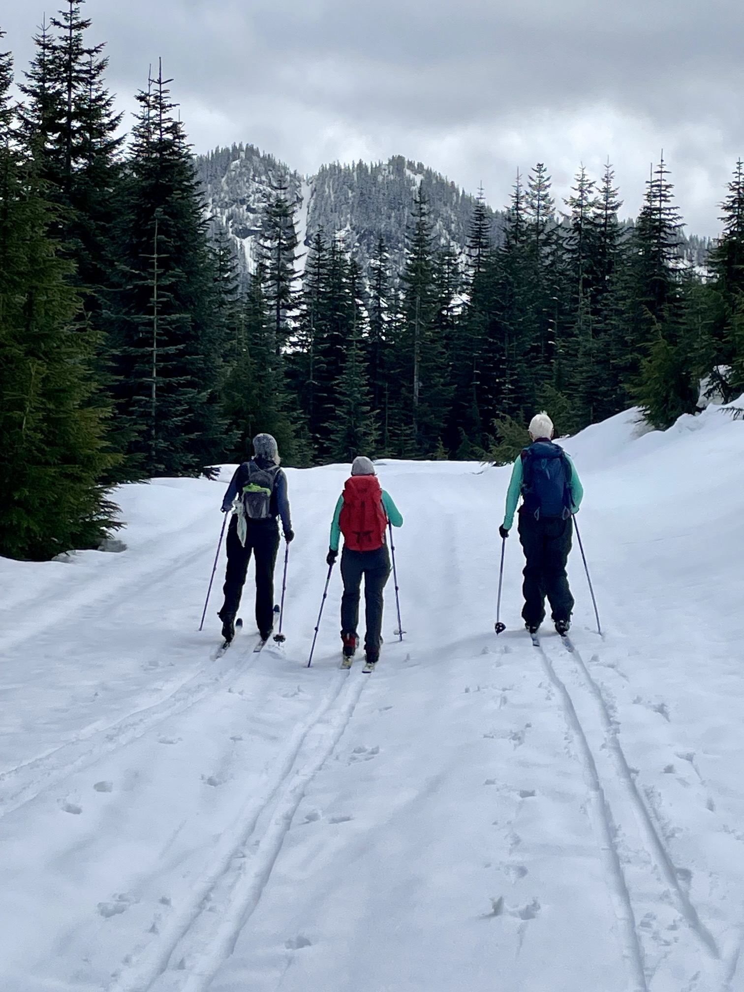
Photo Gallery
Click to enlarge…