Trip Date: May 15, 2024
2024 SLOVENIA ADVENTURE VACATION
Mostnica Gorge Trail Loop
Bohinjsko Jezero aka Lake Bohinj
Soteska Mostnica aka Mostnica Gorge
Koca na Vojah aka Vojah Hut
Planina Blato aka Blato Prairie
Trip Report Summary
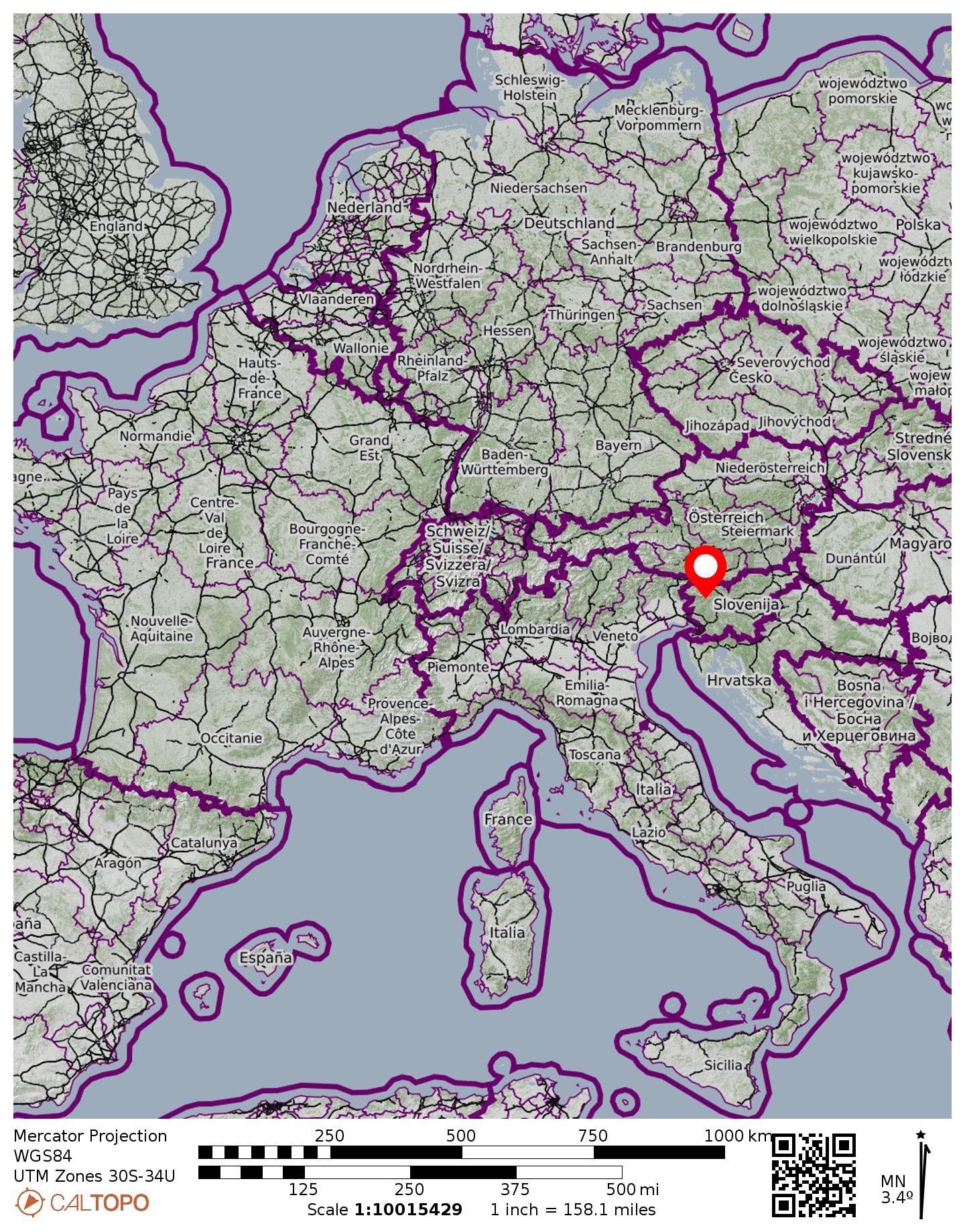
Region: Julian Alps (Slovenia)
Area: Triglavski Narodni Park aka Triglav National Park
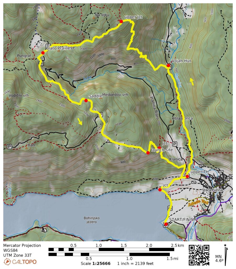
Starting & Ending Point: Lake Bohinj Trailhead near Road 633 (Elev. 1750 feet / 530 meters)
Way Points: Mostnica Gorge Trailhead & Mostnica Gorge ticket kiosk & Vojah Hut & upper trail junction & Blato Prairie & Medvedov Saddle & Zgornji Vogar Prairie & paraglider launching site & Mostnica Gorge Trailhead & Lake Bohinj Trail junction & Lake Bohinj Trailhead (trail hike)
High Point: Na Vrhu hillside (Elev. 4450 feet / 1360 meters)
Approximate Stats: 9.2 miles / 14.9 kilometers traveled; 3300 feet / 1000 meters gained & lost; 6.8 hours elapsed.
…
Full Trip Report
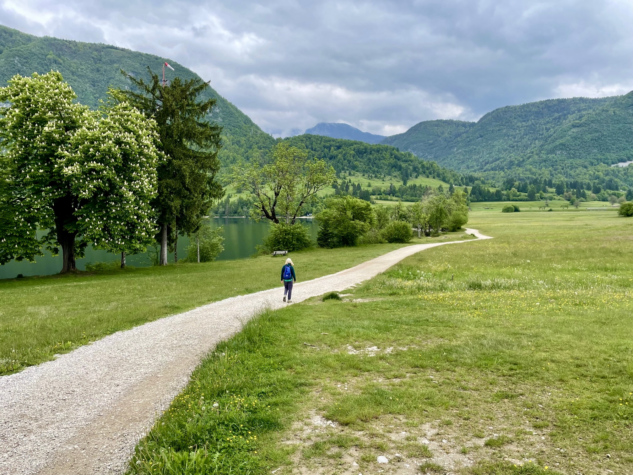
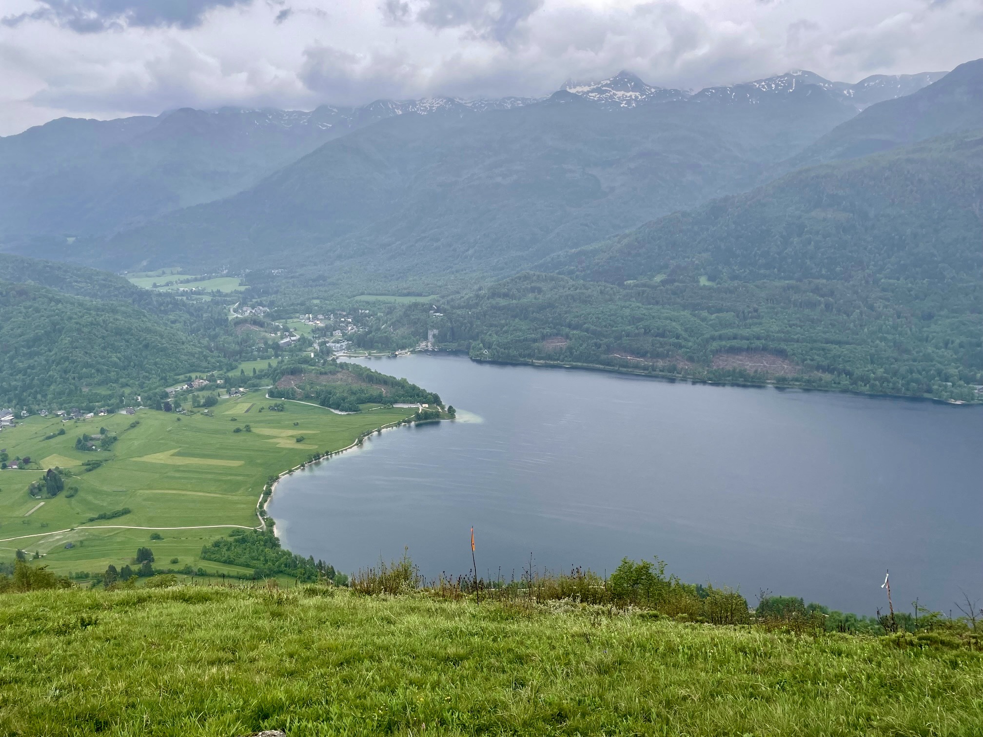
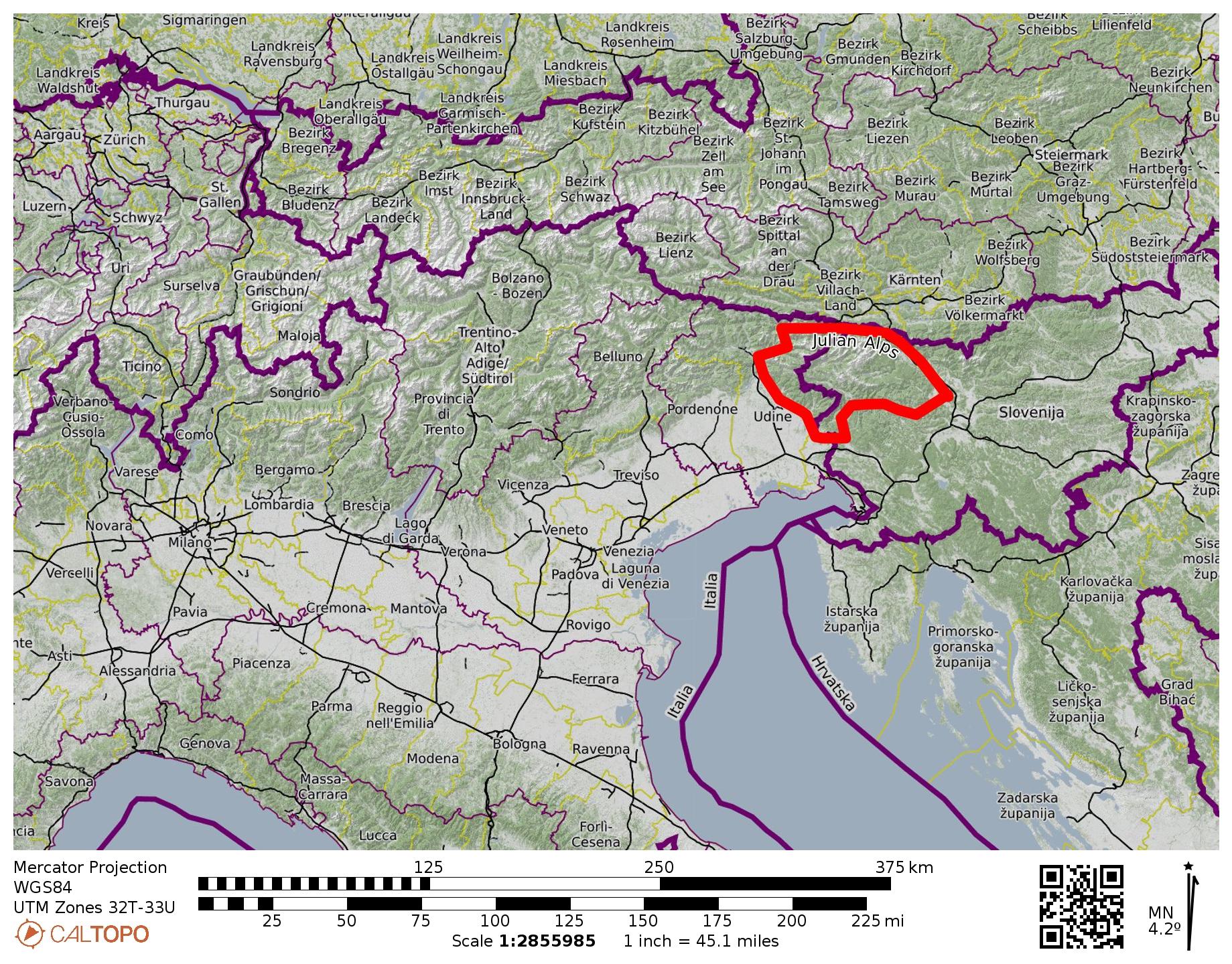
During our short visit to Slovenia’s ultra-popular tourist town of Bled, Eileen and I drove out to Lake Bohinj in Triglav National Park. This is the largest lake in the park and the largest natural lake in Slovenia. It also serves as a good starting point for exploring Mostnica Gorge, one of the country’s many fabulous limestone canyons.
The main trailhead for Mostnica Gorge is located on Planina Blato Road near the village of Stara Fuzina. However, we chose to start from a lower trailhead at the eastern end of Lake Bohinj because it would give us a closeup view of the lake while adding only an hour to our total hike. I think it was a good alternative.
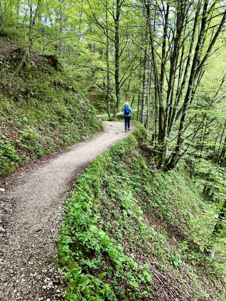
We curved around the lakeshore on a wide gravel trail (part of the long-distance Juliana Trail) and then followed a series of faint paths up through grassy slopes to the upper trailhead. From there, we headed up the official Mostnica Gorge Trail, past a staffed ticketing kiosk (tickets were 3 euros per person).
.
.
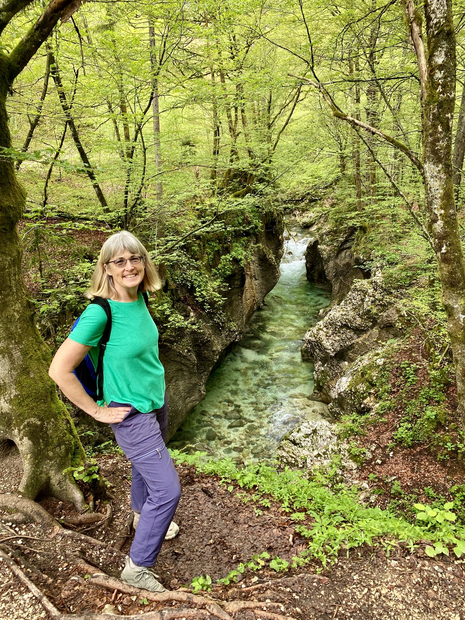
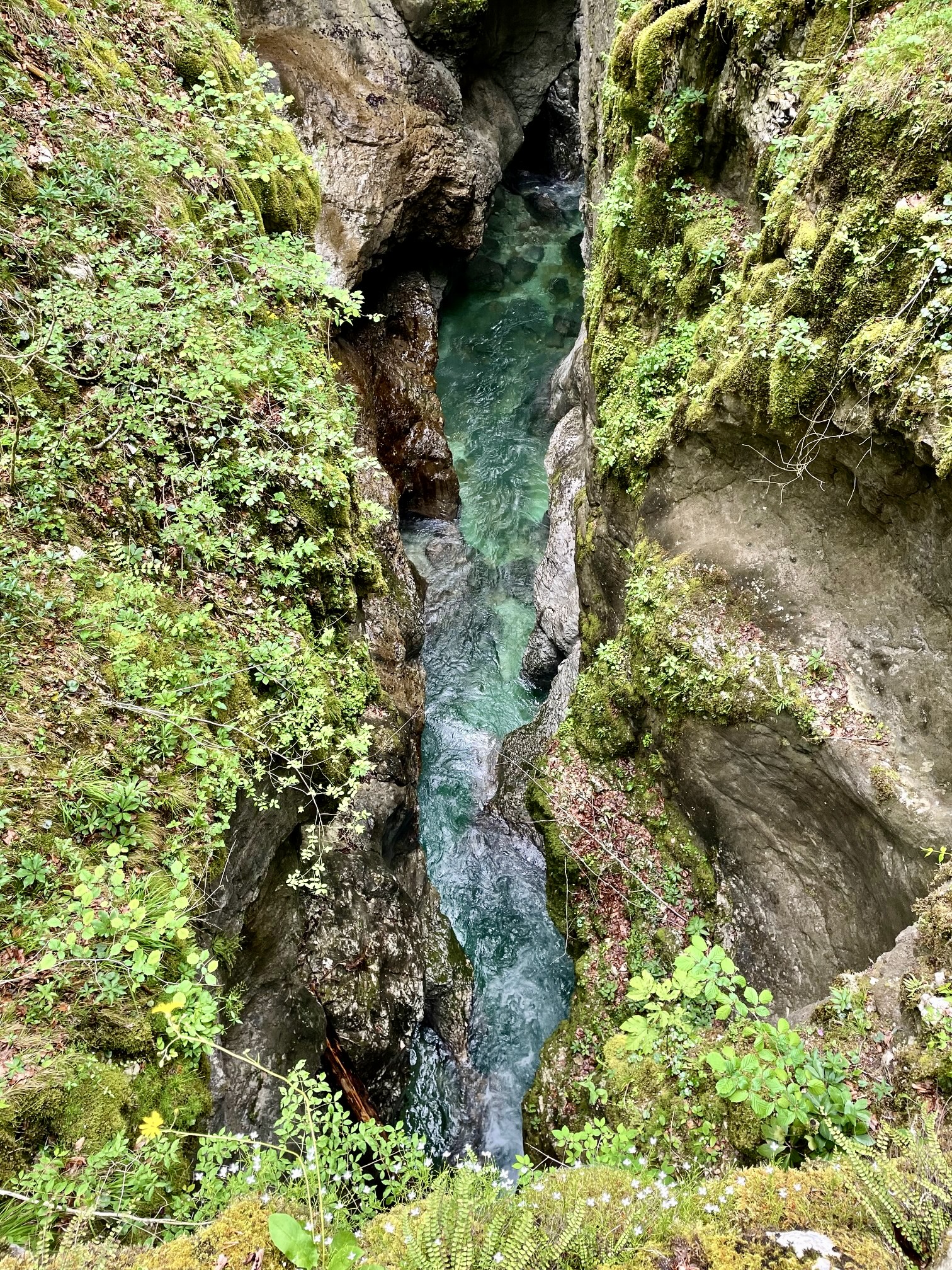
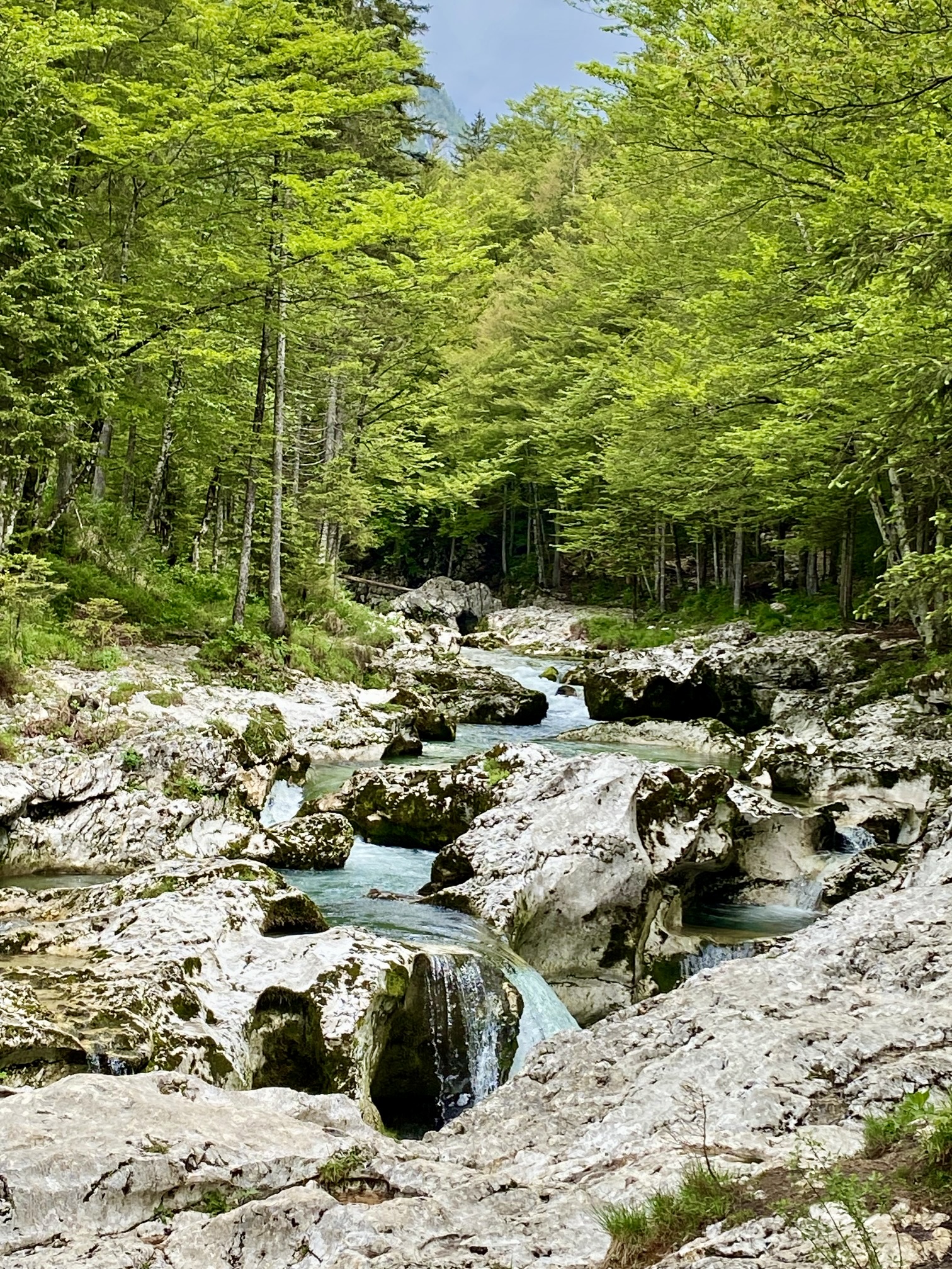
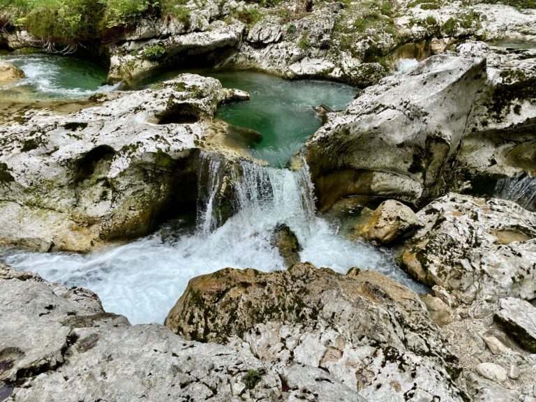
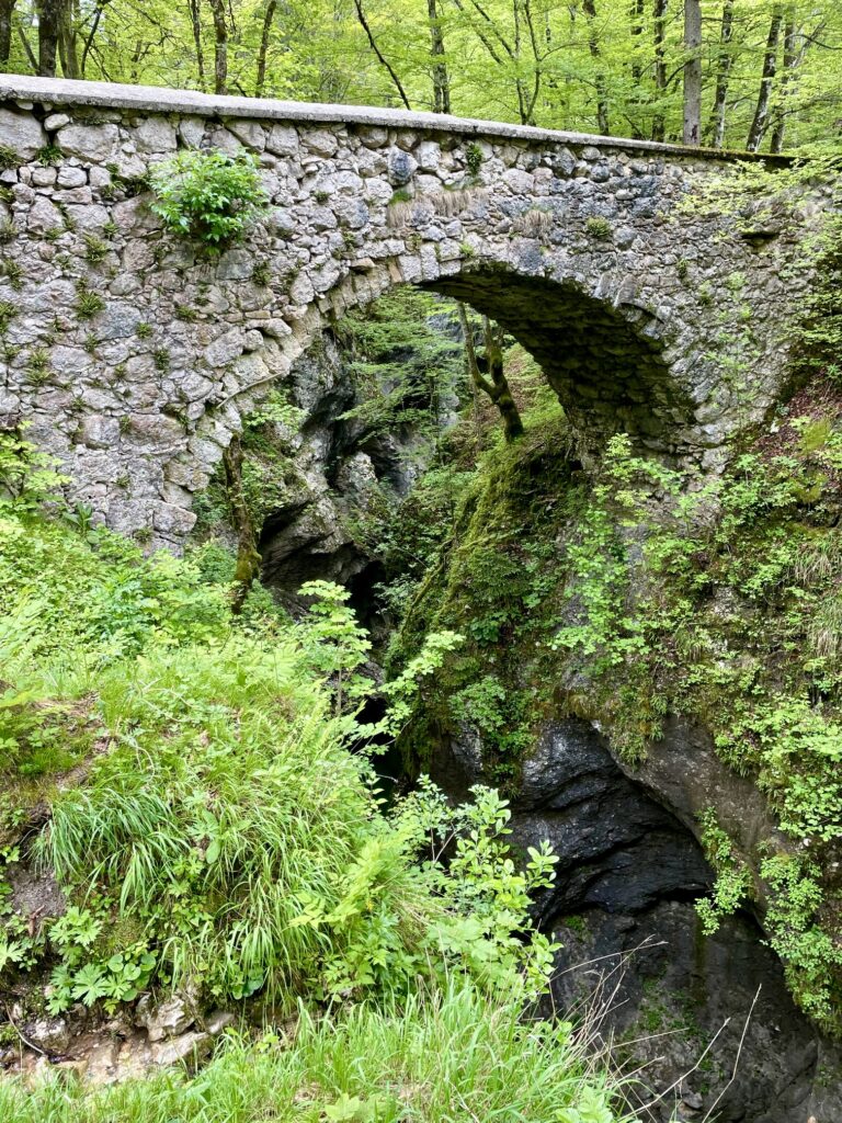
We soon entered the heart of Mostnica Gorge. In many places, the gorge consists of a strikingly narrow channel—barely an arm span wide—that cuts tortuously through the limestone bedrock. In other places, it broadens out and comprises a convoluted swath of slabs, drops, and potholes. Throughout, the Mostnica River flows swiftly and loudly between steep walls and over polished boulders.

.

.
The trail has been well-designed to highlight the natural beauty of the gorge. Actually, there are two parallel trails extending along opposite sides of the gorge, such that a person could hike up one side and back down the other. Both trails stay close to the edges, and they are connected by historic stone bridges at several locations.
.
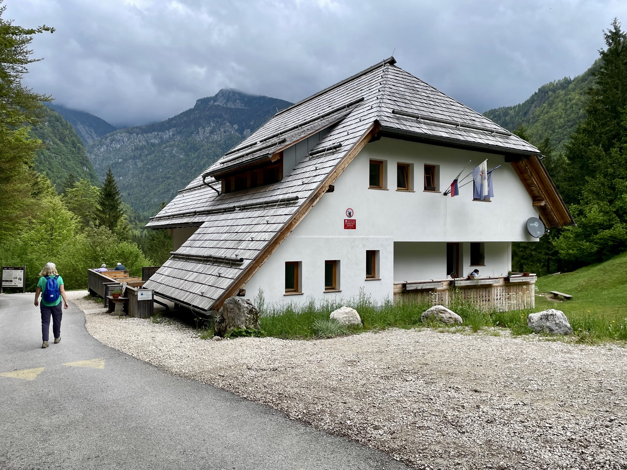
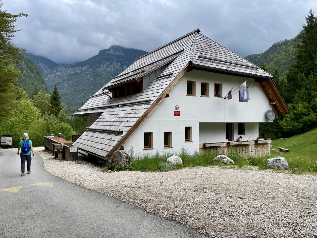
Beyond the gorge’s upper extent, the trail merges with a road that leads to Vojah Hut. All of Slovenia’s alpine huts were still closed for the winter season at the time of our visit, but this forest hut was open for business. It was nearly noon when we arrived (1.5 hours + 550 feet from starting point), so we stopped here to eat our lunch.
.
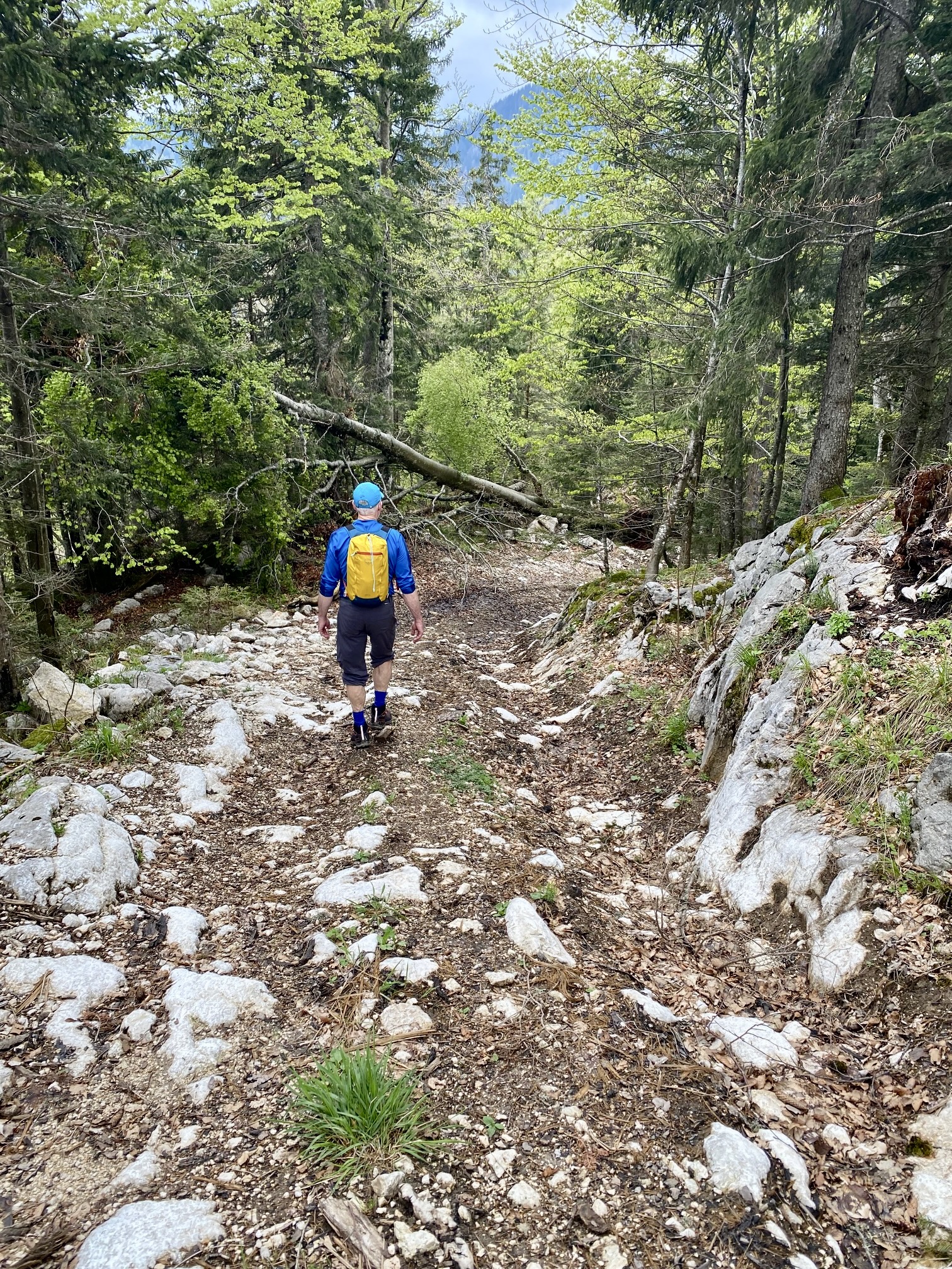
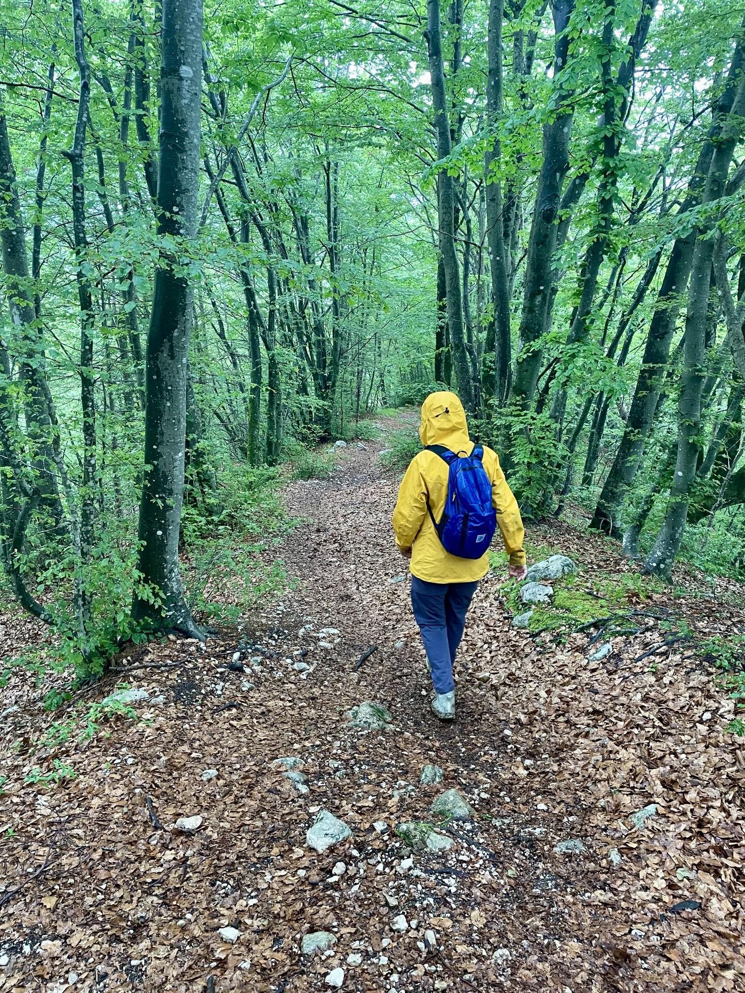
Rather than simply hiking back down the gorge, Eileen and I elected to make a loop by hiking up a spur trail on the western side of the valley. This trail climbed at a uniformly steep grade through a dense forest of beech and evergreen trees. No doubt such a shady trail would be much appreciated on a hot summer day.
.
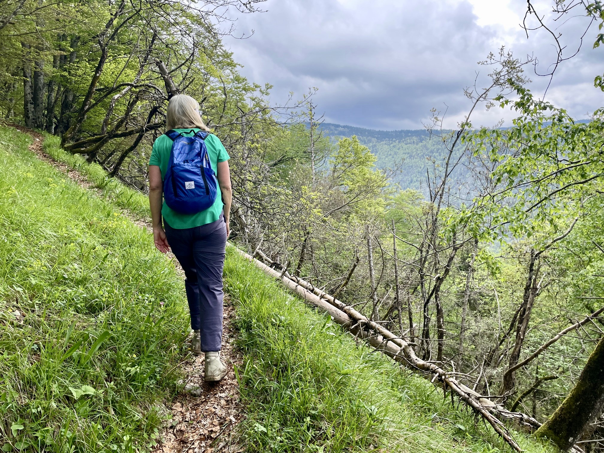
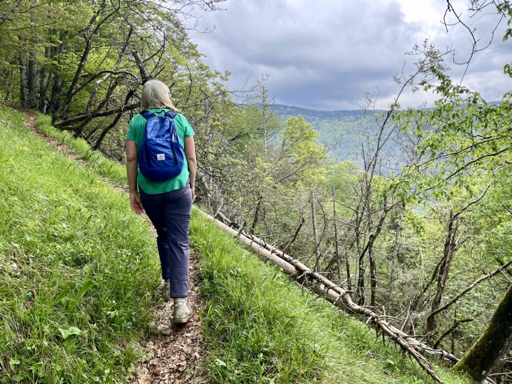
After a steady gain of 2200 feet / 670 meters from Vojah Hut, we came to an inconspicuous junction (3.6 hours from starting point). Here, we turned left and began a long westerly traverse across the hillside, first on a crude trail and then on a series of abandoned (and very rough) logging roads.

.
Upon reaching a large meadow called Planina Blato (in the Czech language, planina translates to prairie or plain), we followed a combination of gravel and paved roads that took us to over a ridge saddle to another marked trail. This trail is the access route for a paraglider launching site located high above the valley. It was raining heavily by the time we arrived at the site.

.
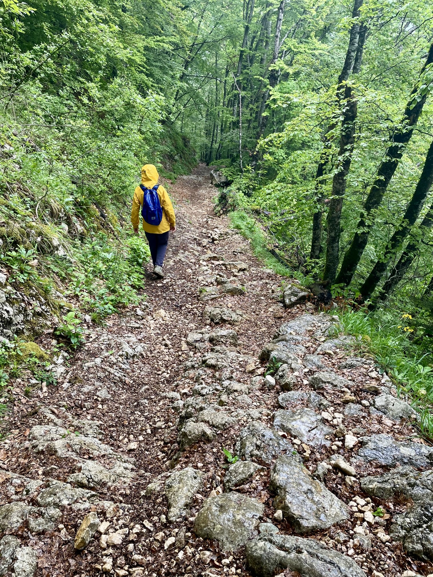
We continued hiking down the well-traveled launch-site trail until able to branch off to the right on an unmarked trail that descended directly toward the Mostica Gorge Trailhead. Both trails consisted of boot-polished limestone bedrock, which was now even more slippery due to the rain. We carefully picked our way down, barely managing to stay upright at times. Thankfully, the polished limestone transitioned to dirt and gravel as we lost elevation.
.
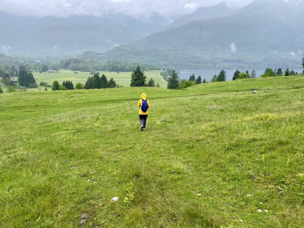
Eventually, we broke out of the dense forest and intersected our up-route in the grassy pastureland above Lake Bohinj. It was then a relatively quick—but wet—jaunt back to our starting point in late afternoon (6.8 hours total loop). It had been an interesting trek with some dramatically varied scenery and terrain. We would not likely ever repeat this loop, but it did give us a thorough perspective on the Mostnica Valley.
.
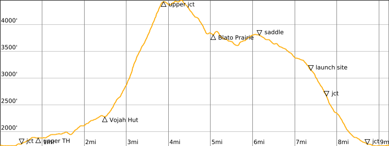
Route Map & Profile
…
…
Photo Gallery
Click to enlarge…