Originally Posted: October 7, 2024
Bob’s Outback Figure-8 Bike Loop
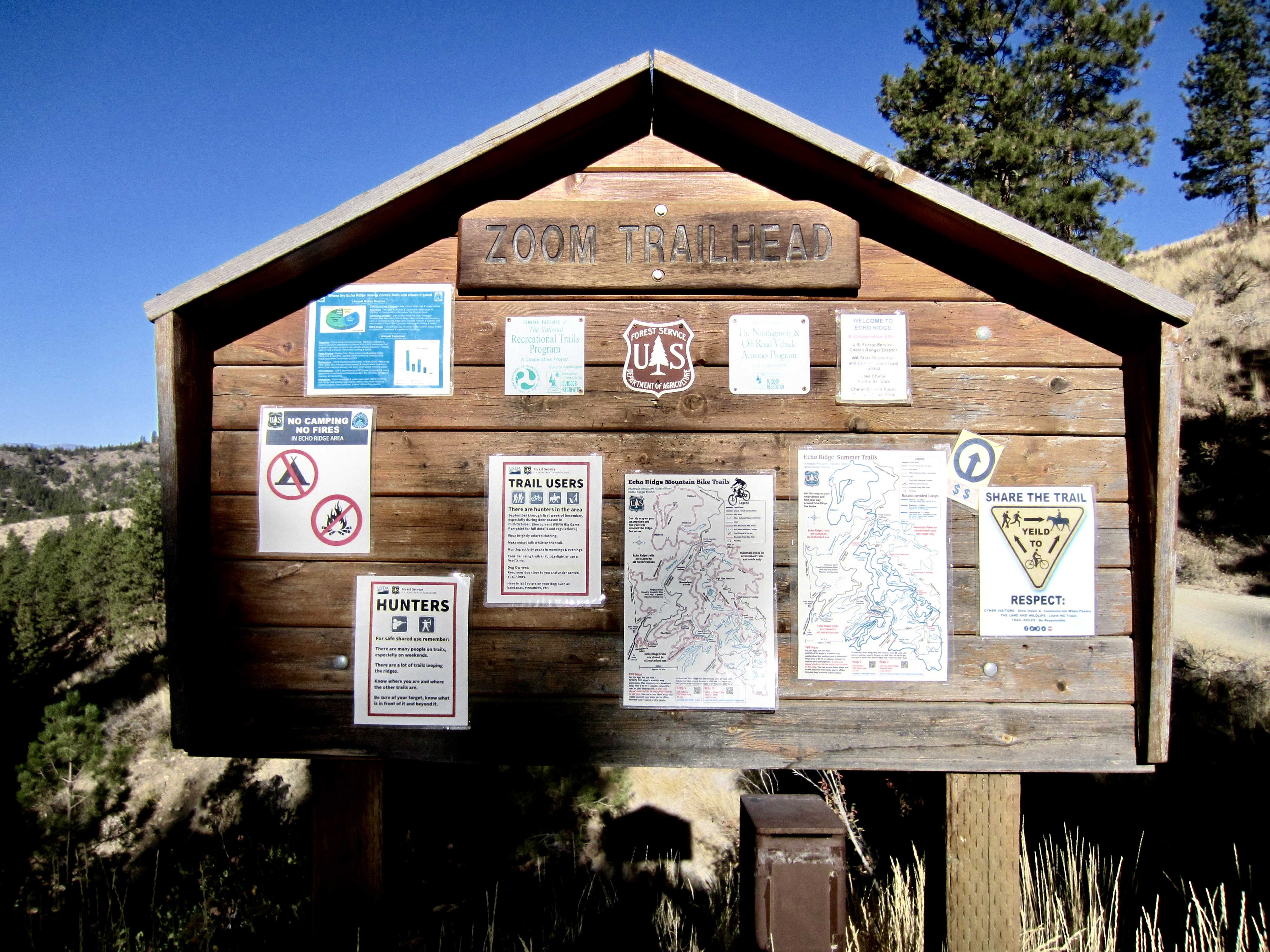
Zoom Trailhead
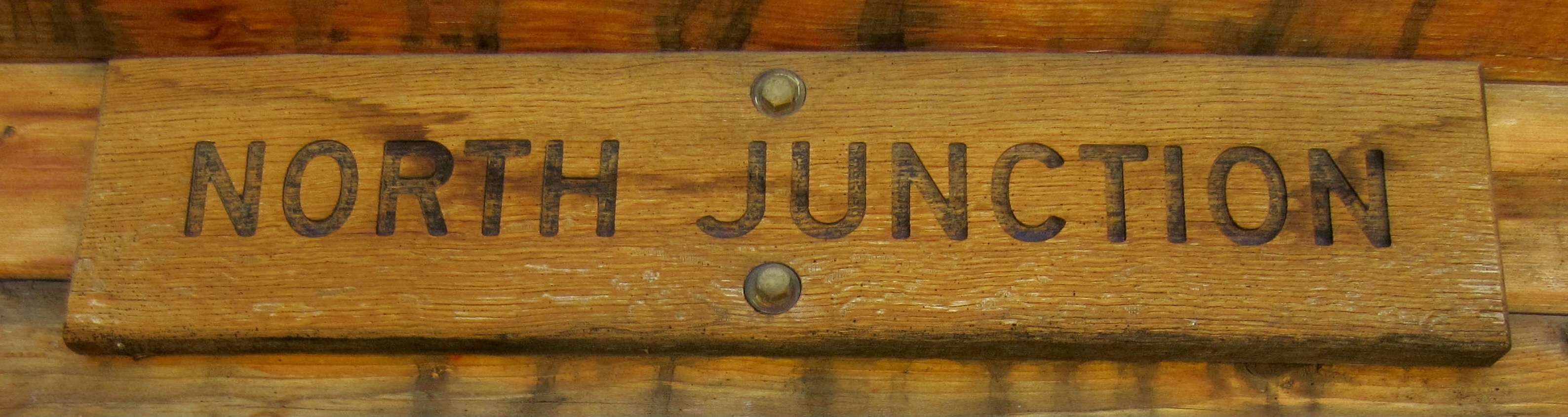
North Junction
Quickstep Crossing
Grand Junction
Luke Family Viewpoint
The Shoe Trailhead
Outback Hill (4324 ft)
Route Summary
Region: North-Central Washington Cascades
Sub-Region: Lower Methow Mountains
Area: Okanogan–Wenatchee National Forest
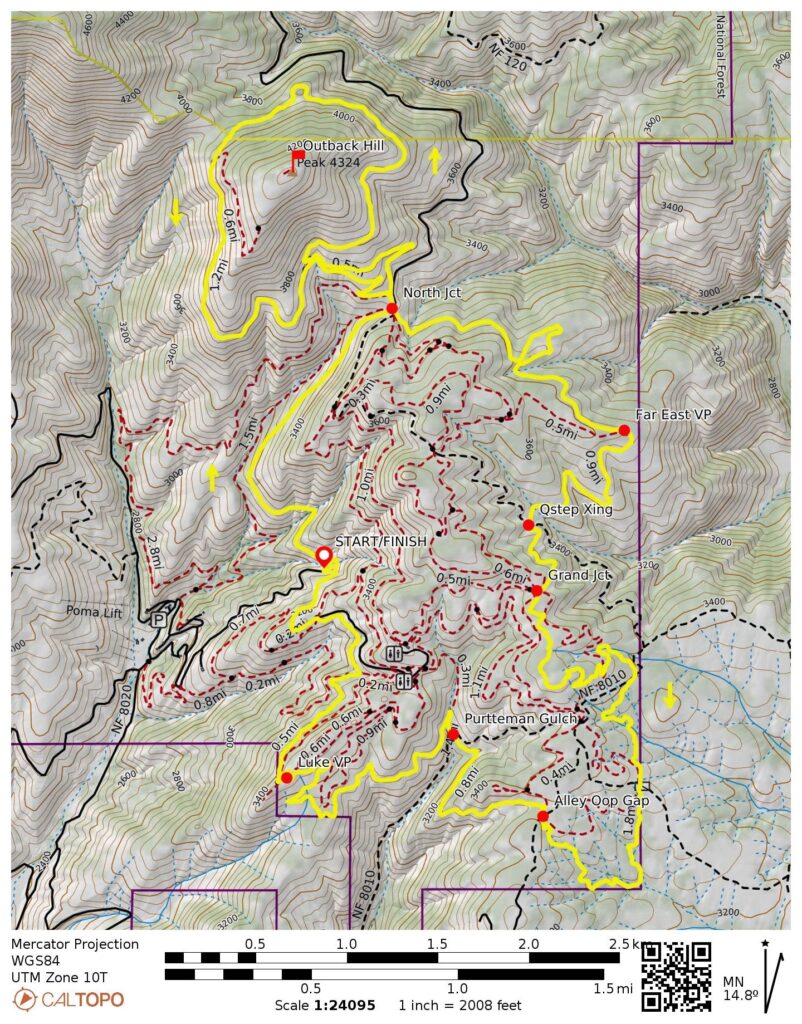
Starting & Ending Point: Zoom Trailhead at junction of Washington Creek Road #8021 & Echo Ridge Road #8021.1 (Elev. 3050 feet)
Way Points: North Junction & Mallory’s Junction & North Junction & Quickstep Crossing & Grand Junction & Purtteman Gulch & Luke Family Viewpoint & Echo Ridge Road / Shoe Trailhead & Zoom Trailhead (bike ride via Washington Creek Road (Zoom Trail)—Outback Trail—Dust To GloryTrail—Far East Trail—Grand Drop Trail— Bob’s Trail—Divine Intervention Trail—Shoe Trail—Echo Ridge Road)
High Point: Mallory’s Junction on Outback Trail (Elev. 4000 feet)
Optional Summit: Outback Hill (bike ride or hike via Mallory’s Trail)
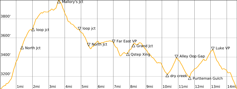
Approximate Stats (excluding summit sidetrip): 14.7 miles traveled + 1700 feet gained & lost.
Approximate Stats (including summit sidetrip): 16.3 miles traveled + 2050 feet gained & lost.
Route Overview
Echo Ridge is a popular recreation area located on the eastern side of Lake Chelan, high above the towns of Chelan and Manson. It comprises a network of groomed cross-country ski trails and marked snowshoe trails in the wintertime, as well as a network of well-maintained hiking and biking trails in the summertime. All of these trails wend through open pine forest and arid hillsides that offer far-ranging views across the Cascade Range and Columbia Plateau. The highest point within the recreation area is 4324-foot Outback Hill, which serves as a nice summit destination.
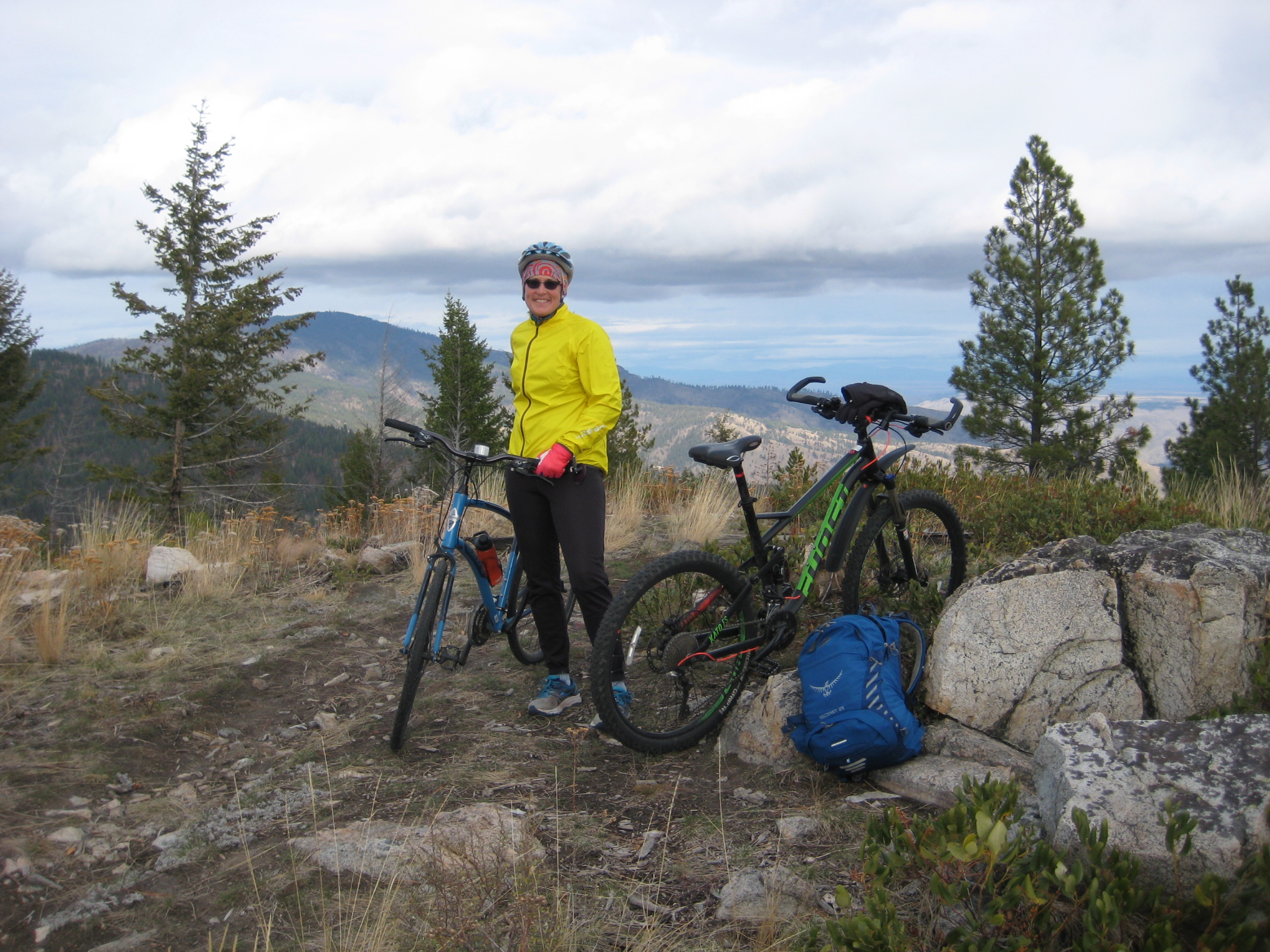
My favorite mountain-bike ride at Echo Ridge is the Bob’s Outback Figure-8 Loop. Over the course of 15 miles, this outstanding bike loop follows seven different single-track and double-track trails, along with two short segments of wide-track roads. All of these various trails and roads are formally given a “blue-square” rating, which equates to a moderate difficulty, and the cumulative elevation gain of 1700 feet is adequate to get your heart pumping without being excessively strenuous. Given these characteristics, the loop accommodates a wide range of skill levels. Novice riders will find it challenging but doable; advanced riders will find it easy but satisfying; and intermediate riders like me will find it to be an absolute blast!
.
The figure-8 loop could be started and ended at several different places, and could be ridden in either a clockwise or counterclockwise direction. My recommended route described here starts and ends at the Zoom Trailhead, which is located at the junction of Washington Creek Road #8021 and Echo Ridge Road #8021.1 at an elevation of 3050 feet. Because this trailhead represents the lowest point of the entire loop, your ride begins with a steady climb and finishes with a welcome descent. The Zoom Trailhead also naturally facilitates a counterclockwise circuit around Outback Hill and a clockwise circuit around Echo Ridge. Be aware that a Northwest Forest Pass is required to park here or at any of the other nearby trailheads.

.
Route Descriptions
Because my recommended figure-8 loop involves so many different trails and roads, I’ve provided a combination of text descriptions, photographs, and route maps for navigational purposes. Also, a short description of an optional sidetrip up Outback Hill is included after the main loop description. For clarity, these descriptions use boldface type for all trailheads, major junctions, and important waypoints, and they use italics type for all trail names.
Bob’s Outback Figure-8 Loop
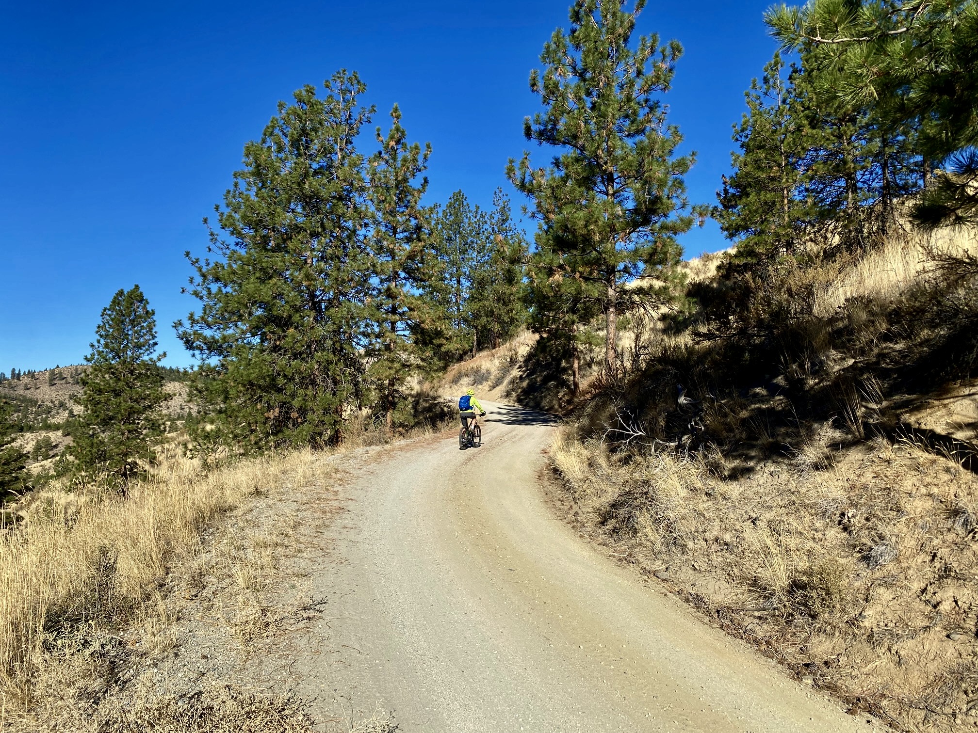
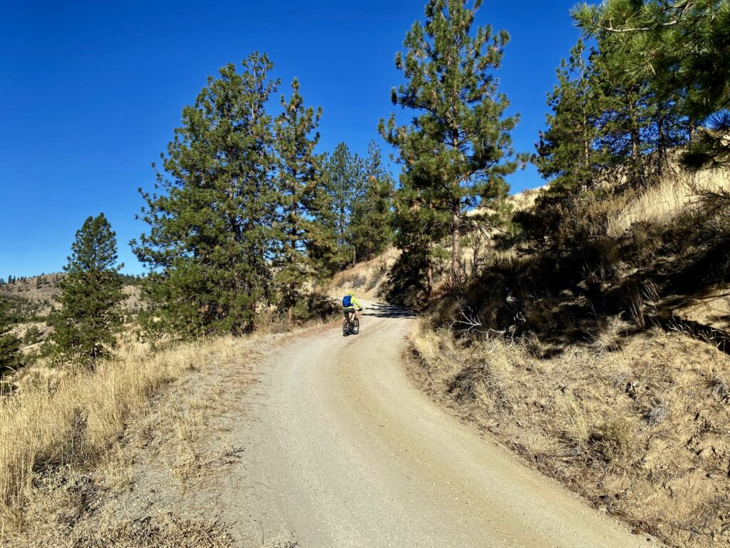
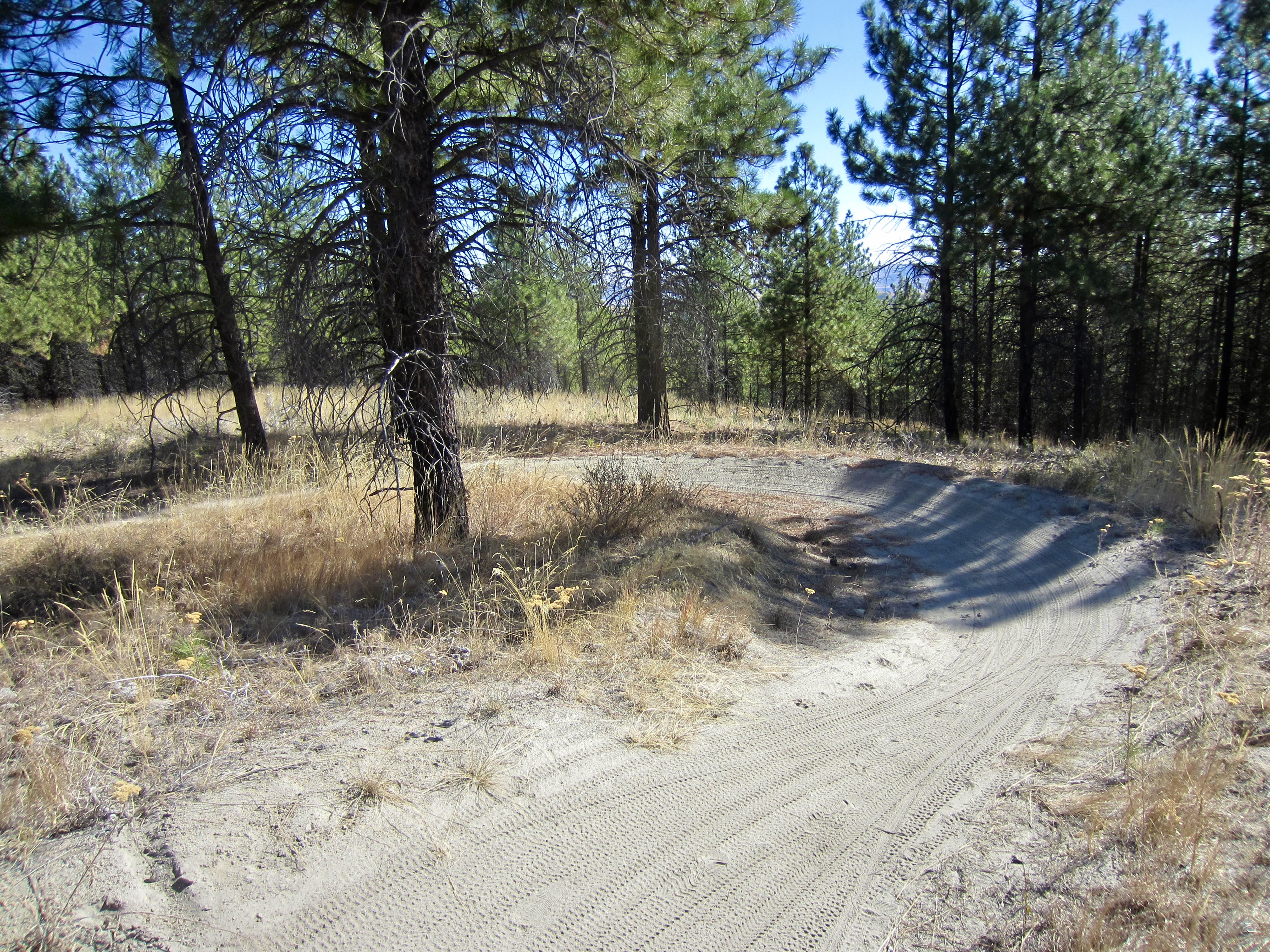
Starting at Zoom Trailhead, pedal northward up Washington Creek Road, which climbs at a gentle to moderate gradient across the western flank of Echo Ridge. In the wintertime, this one-lane gravel road becomes a snowmobile route known as Zoom Trail.
.
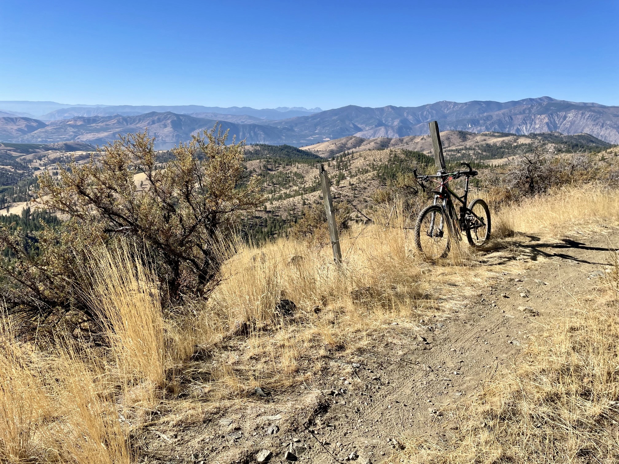
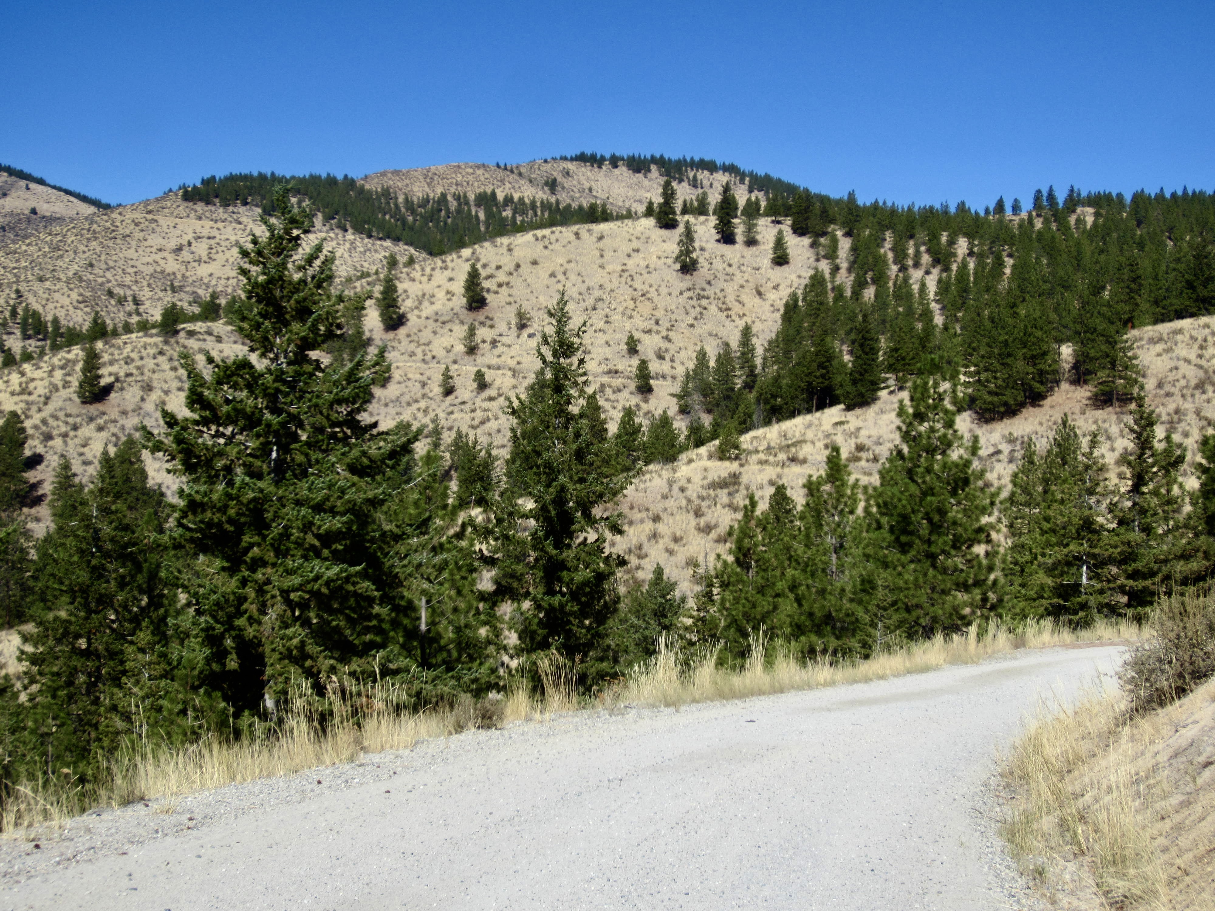
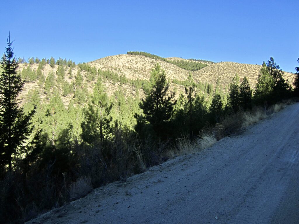
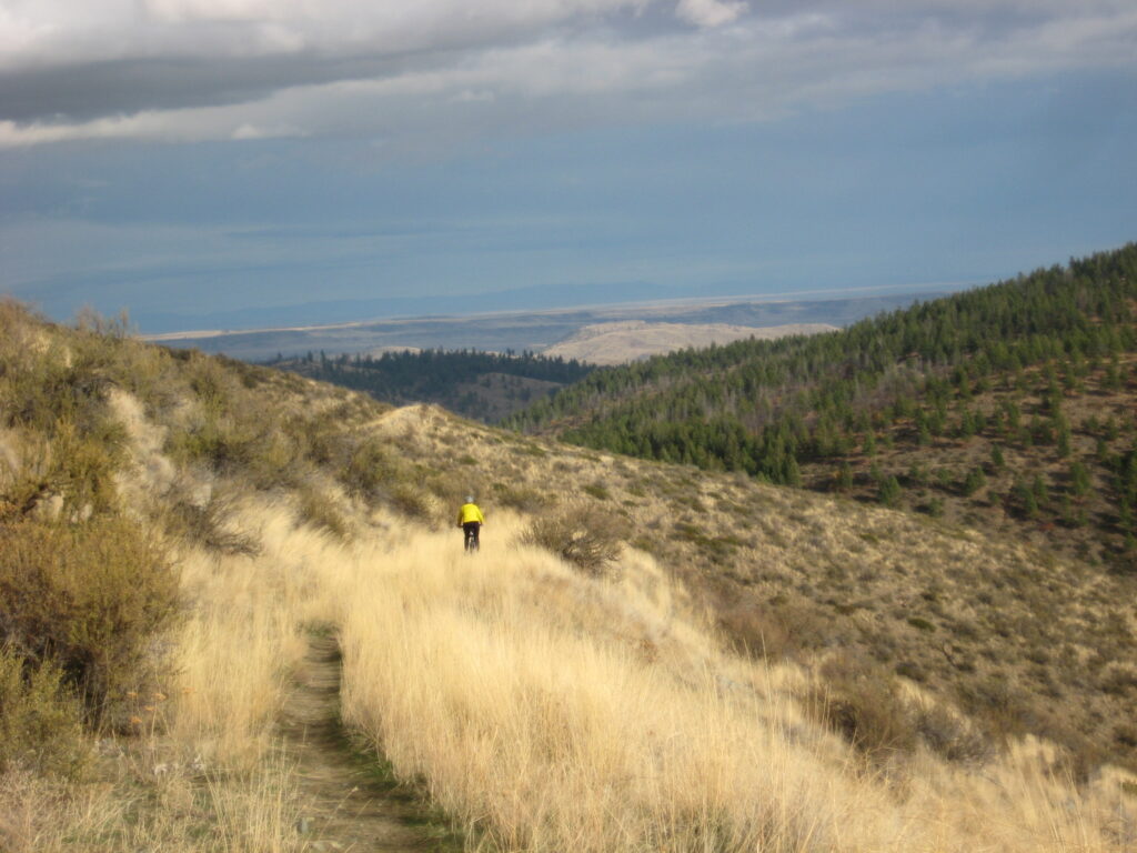
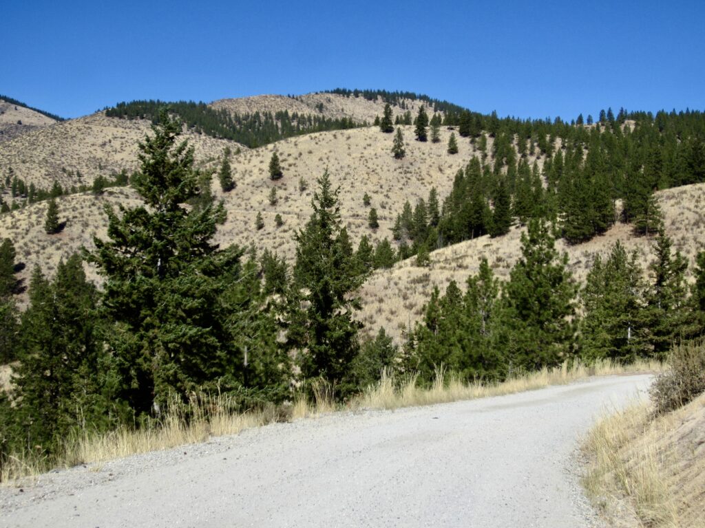
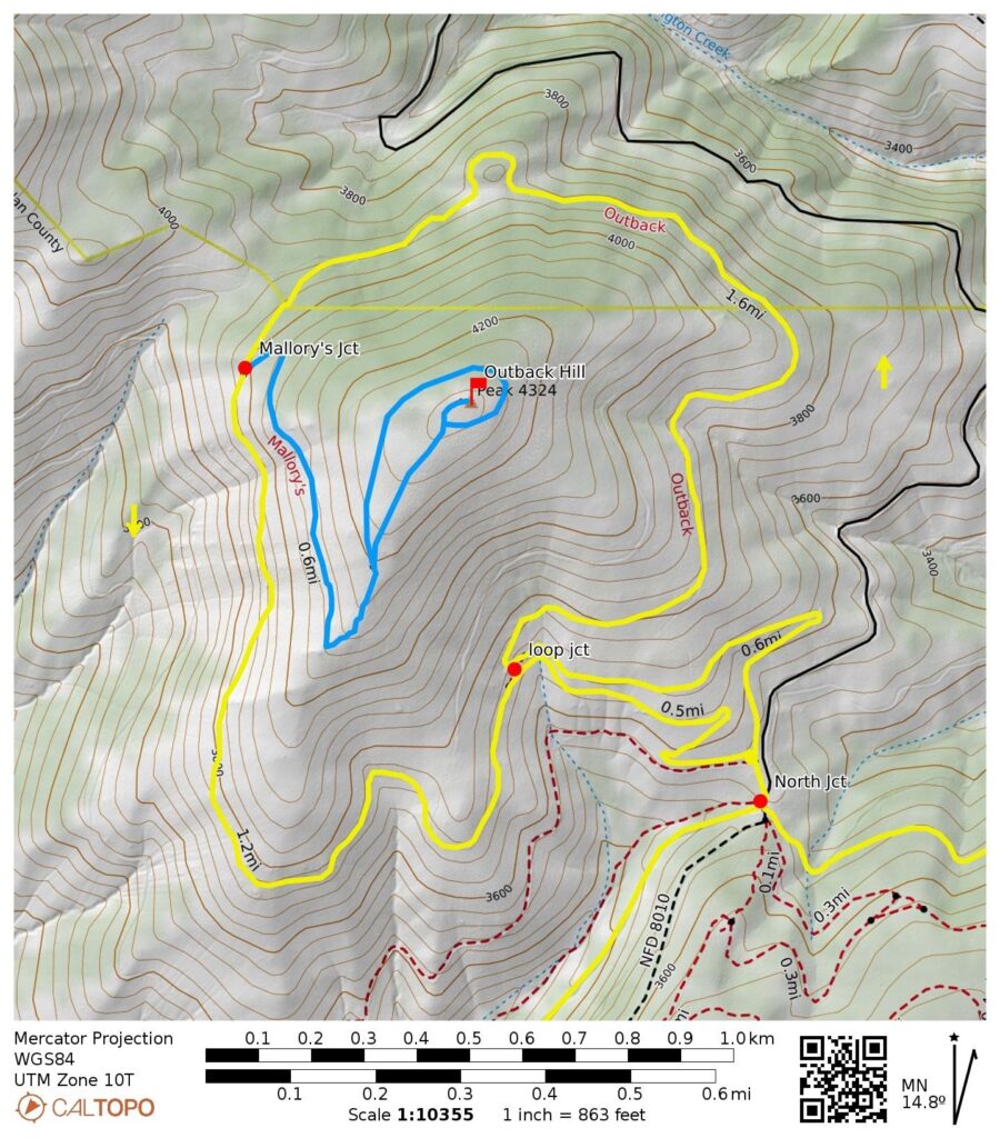
As you curve around the ridge, the rounded form of Outback Hill soon comes into view 1 mile to the north. If you look carefully, you’ll be able to see Outback Trail cutting across the hillslope, just below a patch of pine trees.
.
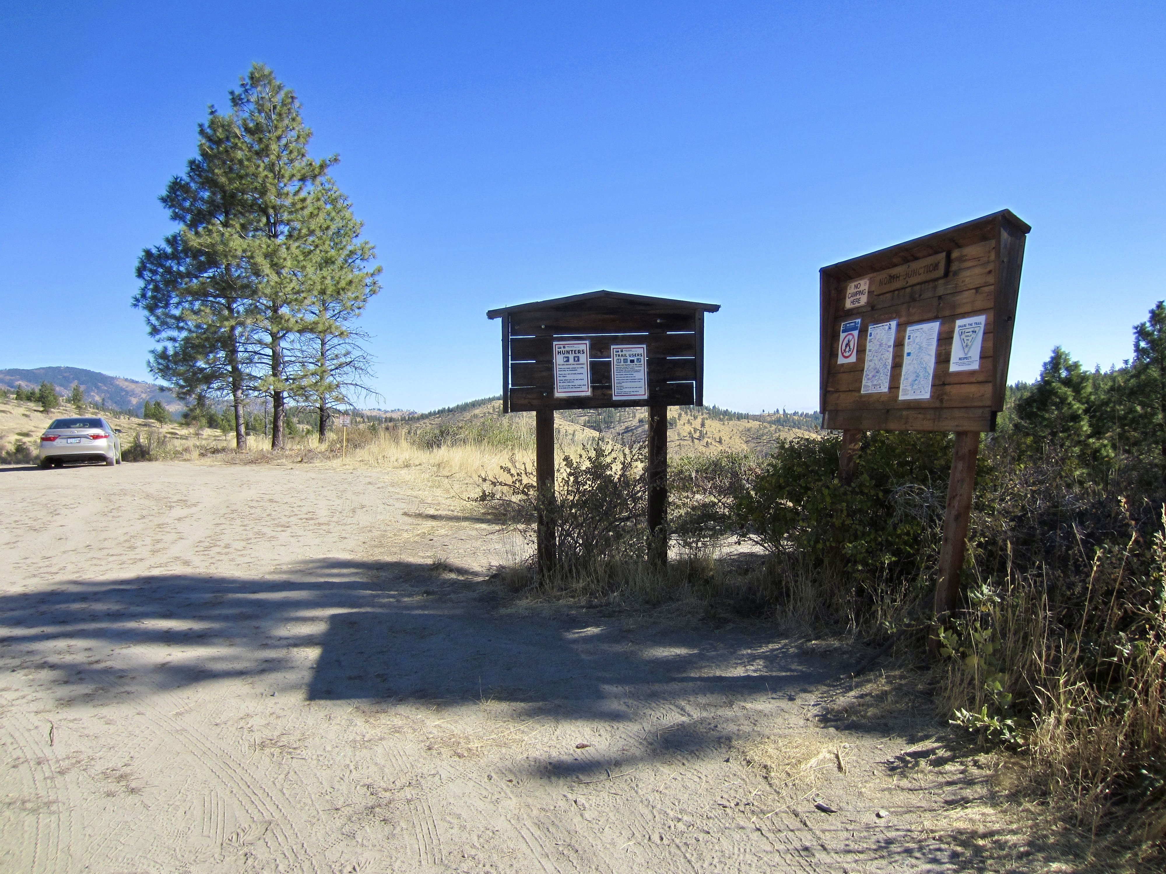
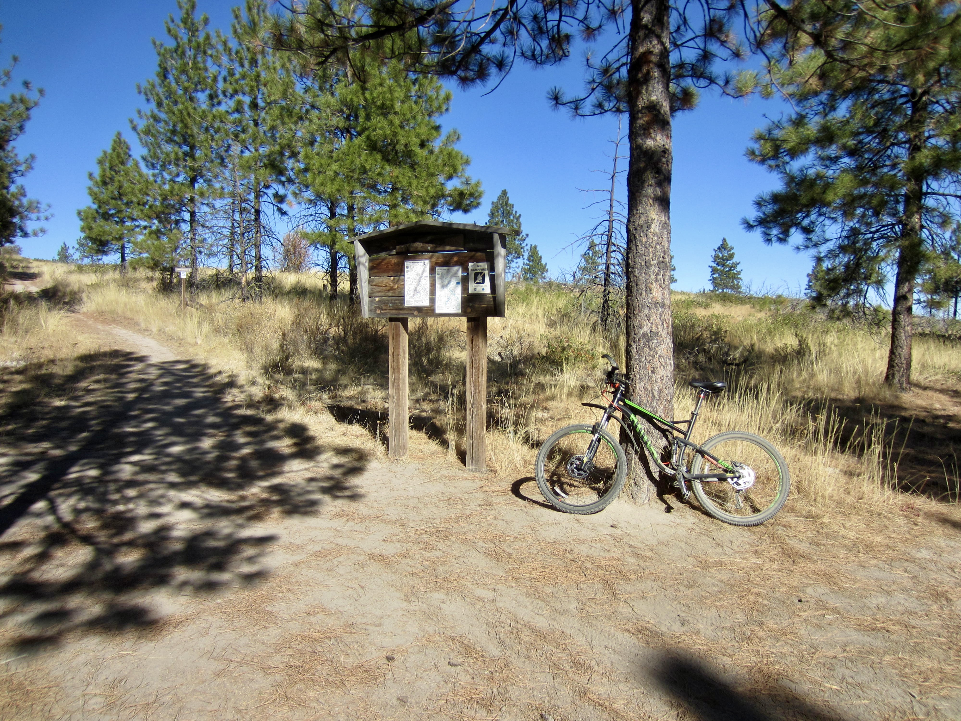
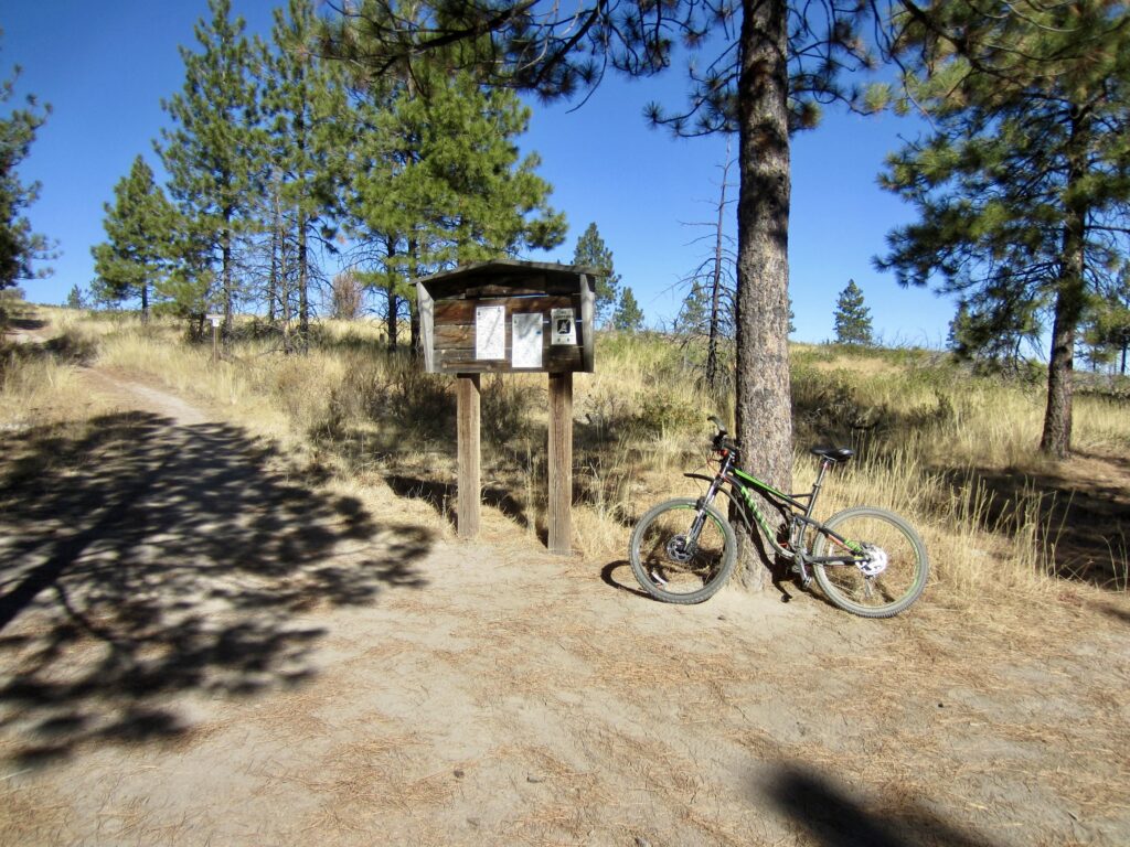
At the end of a long, uphill straightaway, you will arrive at North Junction (1.3 miles + 450 feet from starting point). This represents the “pinch point” of the figure-8, and as such, it separates the Outback Hill portion of the loop from the Echo Ridge portion. There is a large parking area here, along with two informational kiosks.
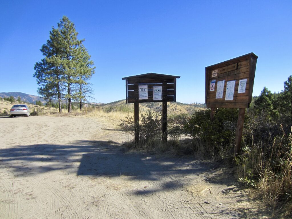
.
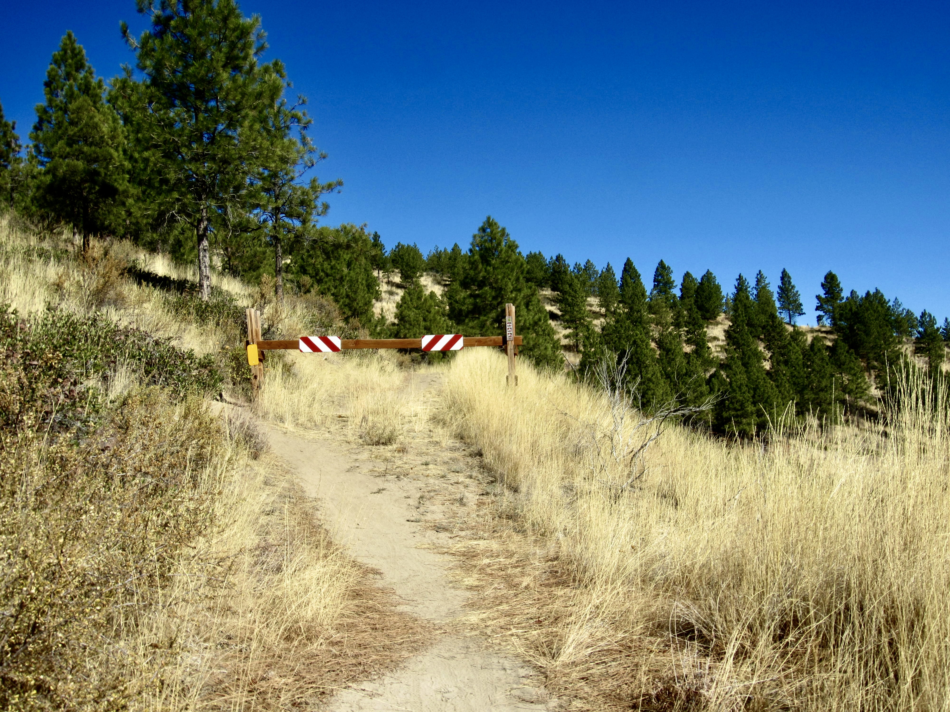
On the northern side of the parking lot, look for a sign marking the start of Outback Trail. Ride up this trail, past a vehicle gate, and continue climbing as it switchbacks to the left. Upon reaching a fork, keep right and immediately switchback to the right. You are now on a counterclockwise circuit around Outback Hill.
.
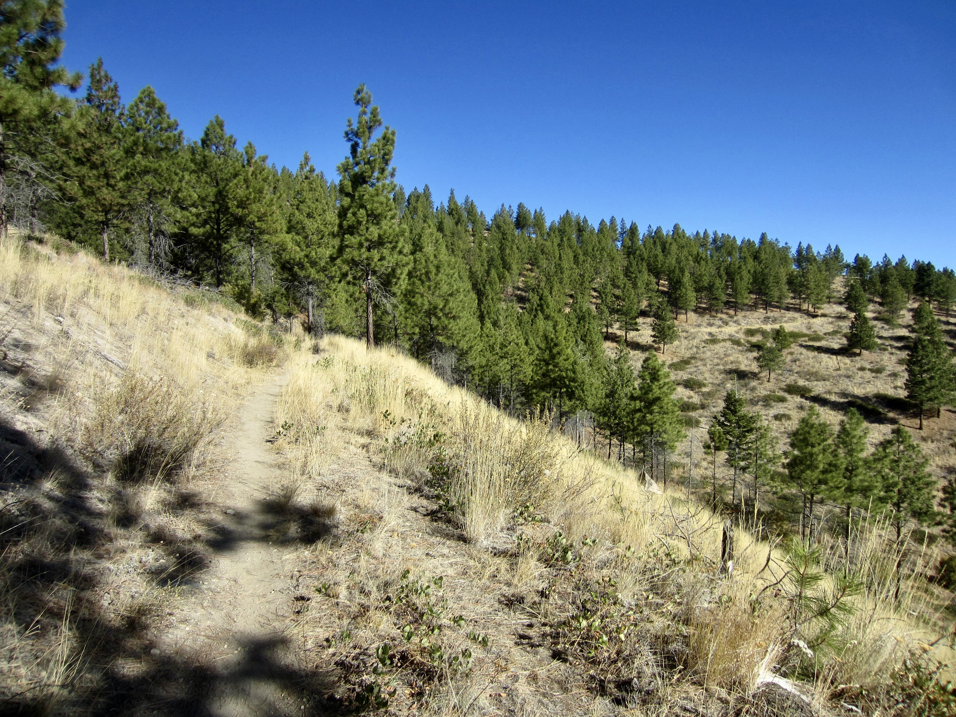
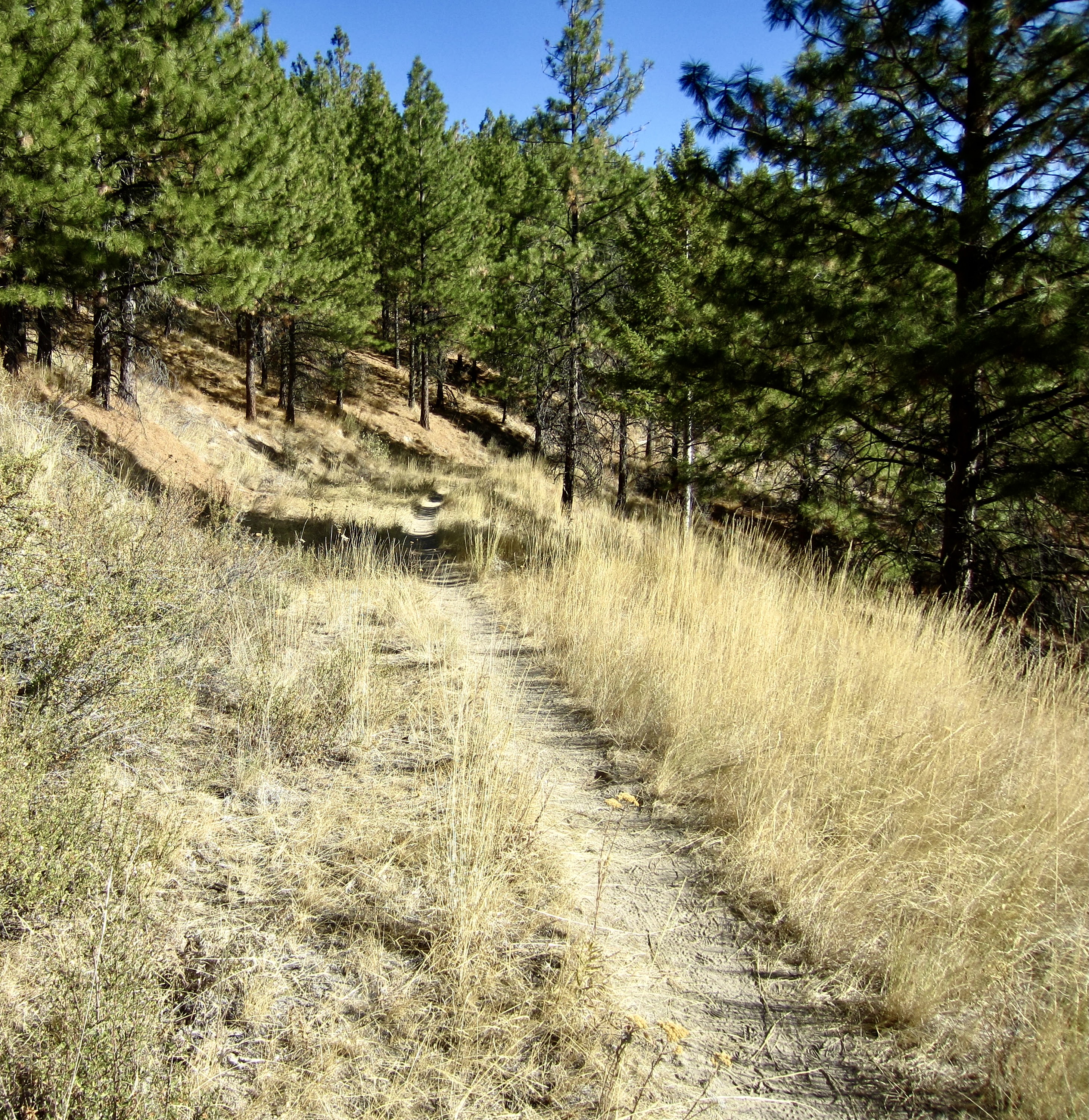
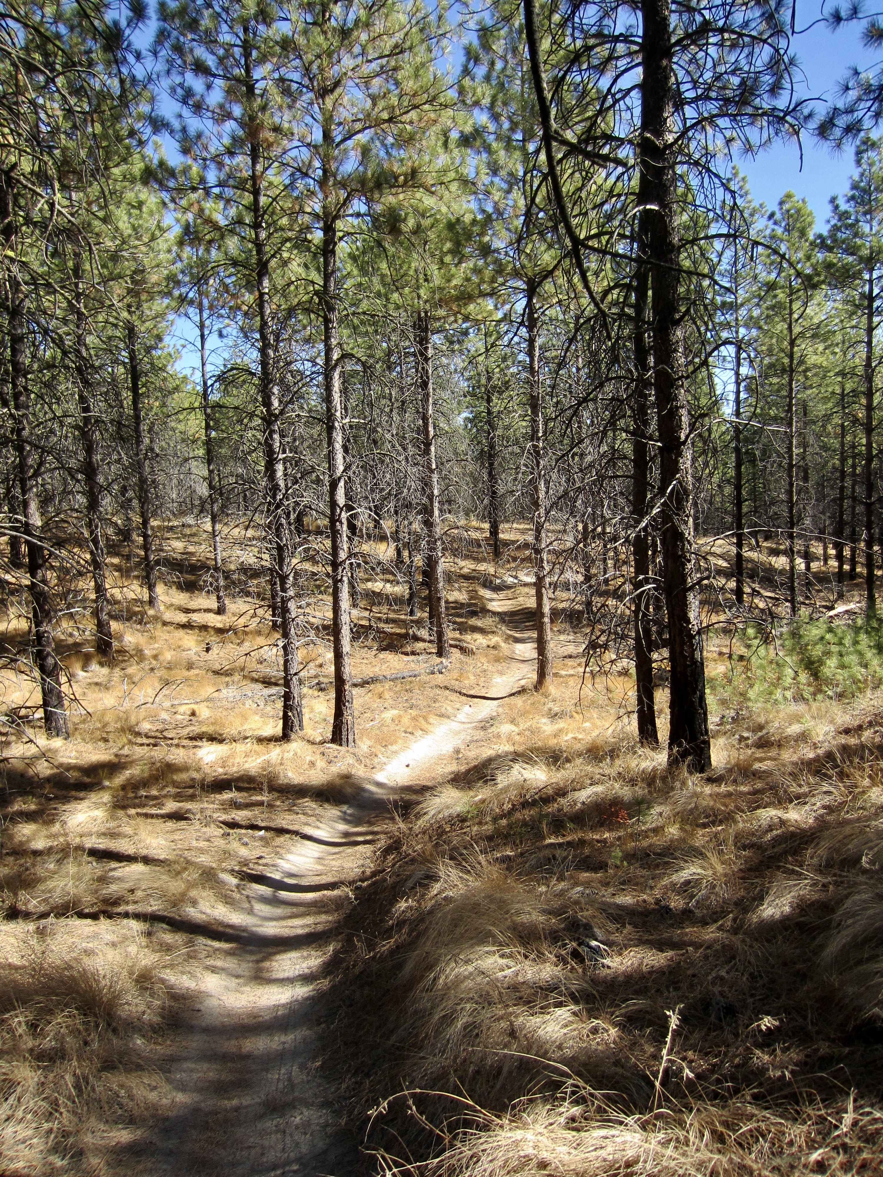
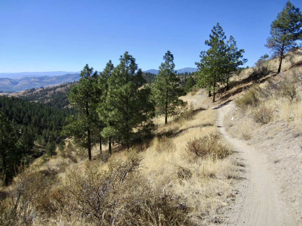
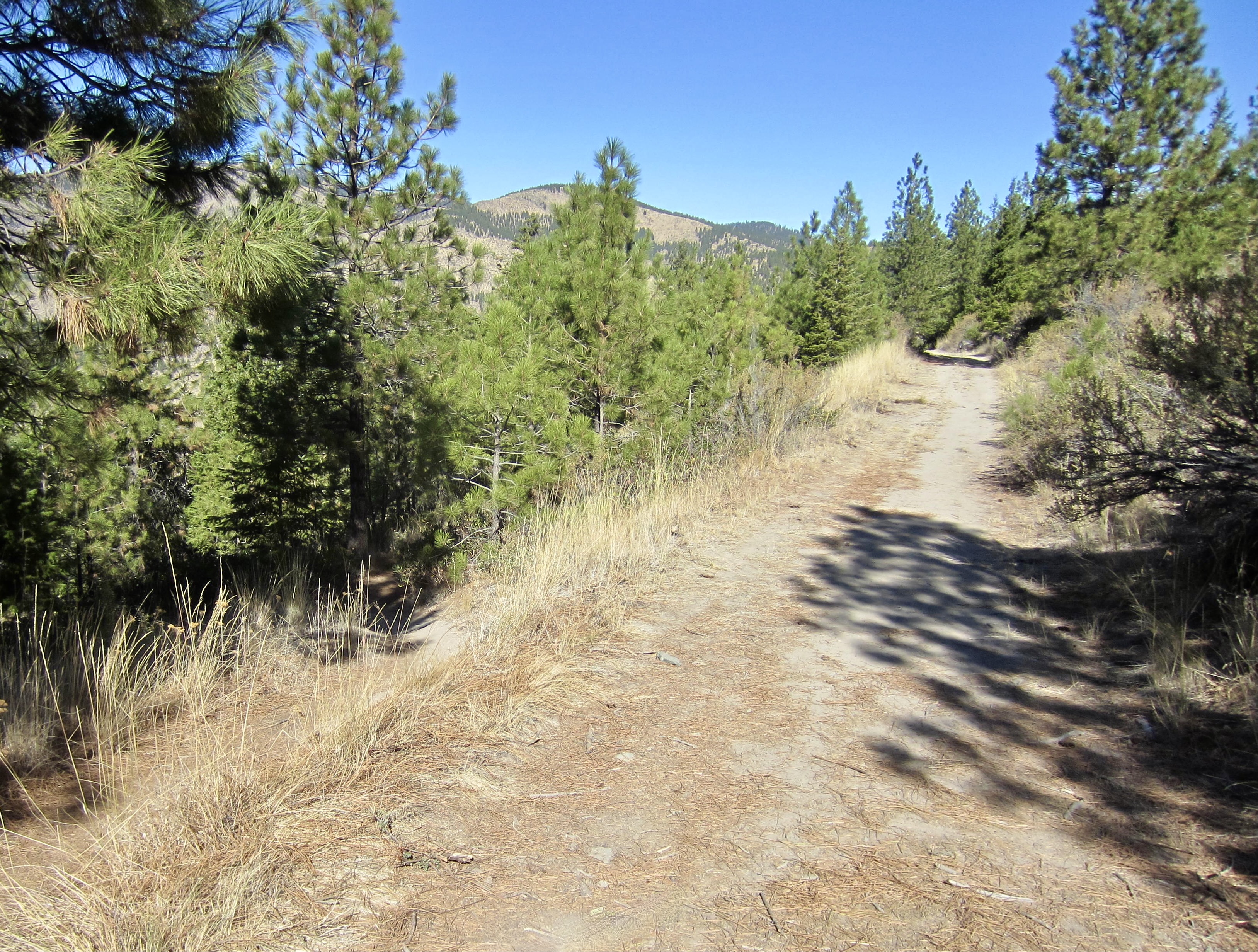
Most of Outback Trail follows a long-abandoned road, which now provides a combination of single-track and double-track riding. It passes through groves of ponderosa pine trees and fields of ryegrass. The trail surface is composed of sand and silt derived from erosion of local volcanic rhyolite and andesite rocks.
.
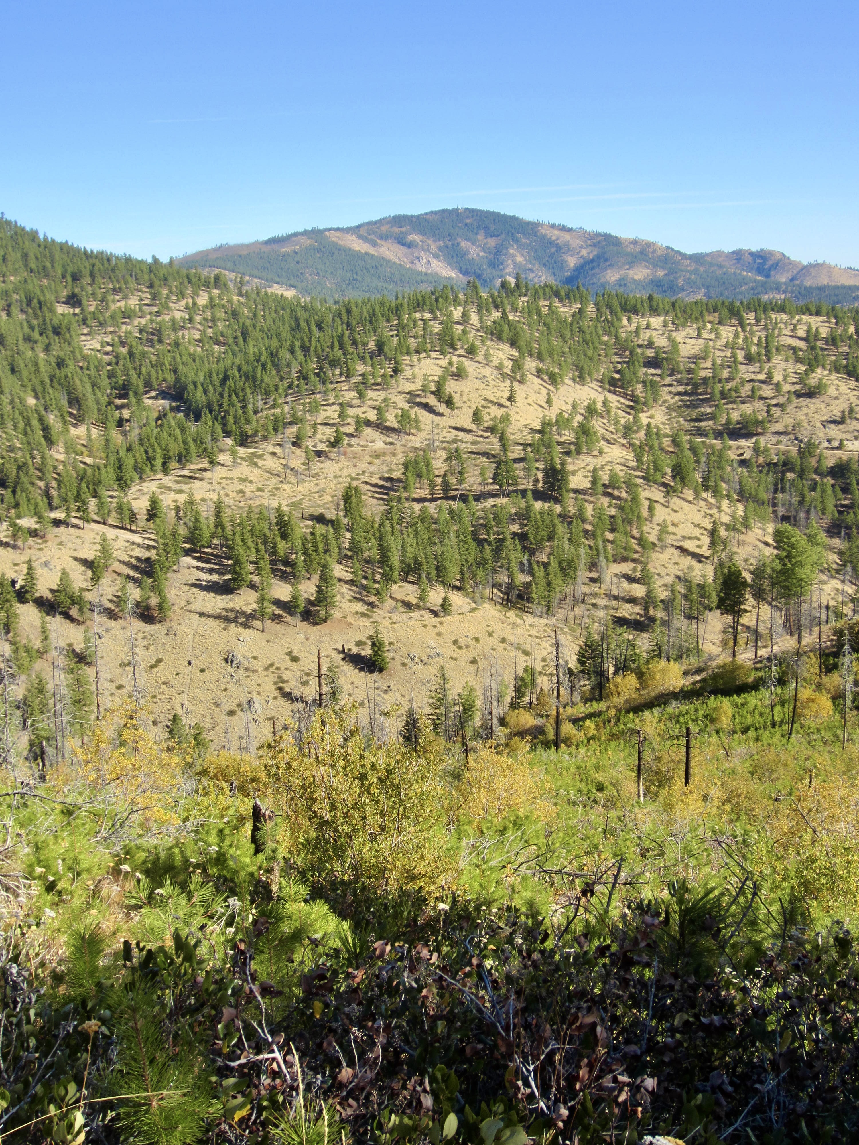
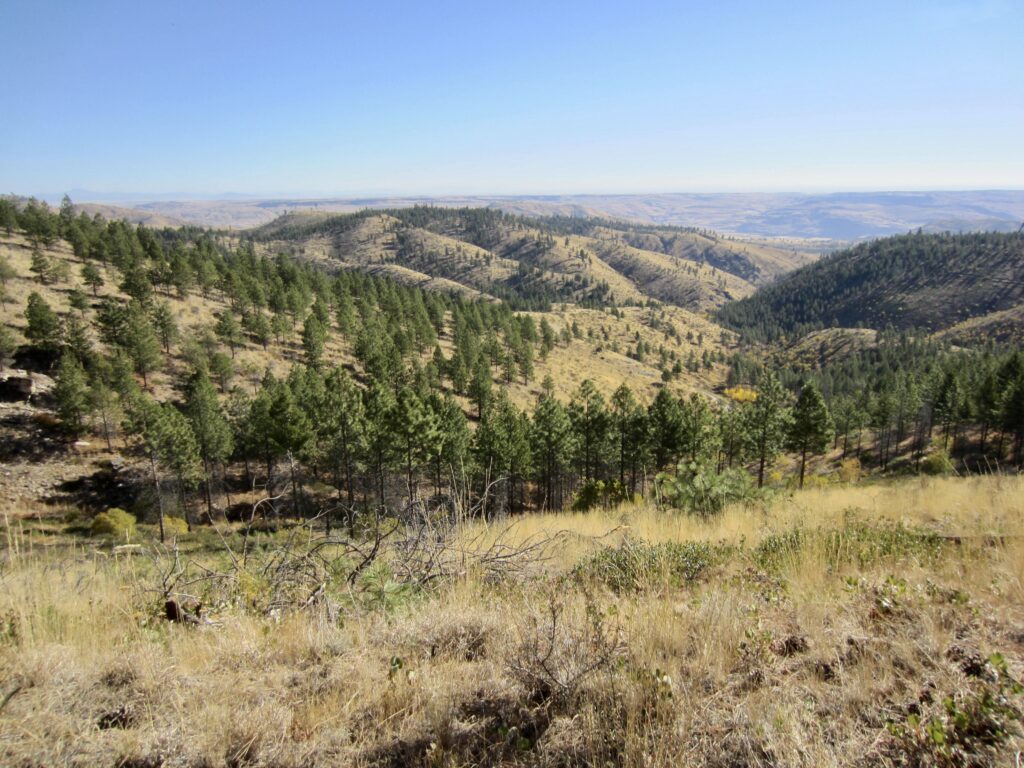
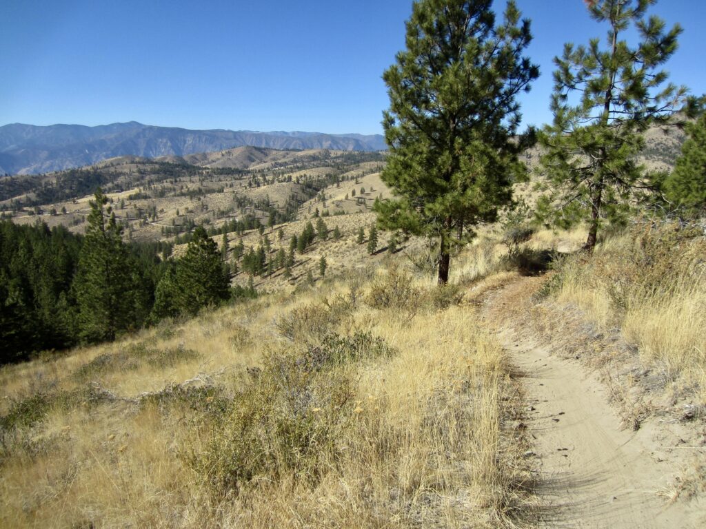
Views open up quickly as you traverse around Outback Hill. Closely to the east is the graceful channel of Washington Creek, and farther out is the vast Columbia Plateau. From the north side of the hill, Washington Butte can be seen as a broad, forested uplift.
.
.
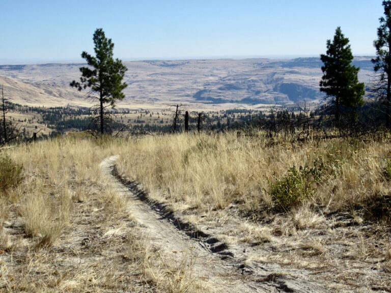
On the western side of Outback Hill, Outback Trail attains a maximum elevation of 4000 feet at Mallory’s Junction (3.6 miles + 950 feet from starting point). It then makes a gradual descent across the open hillside, first on a southerly bearing and then curving around to the northeast. Lake Chelan comes into view down to the southwest, and the rugged Stuart Range can be seen beyond the lake.

.

.
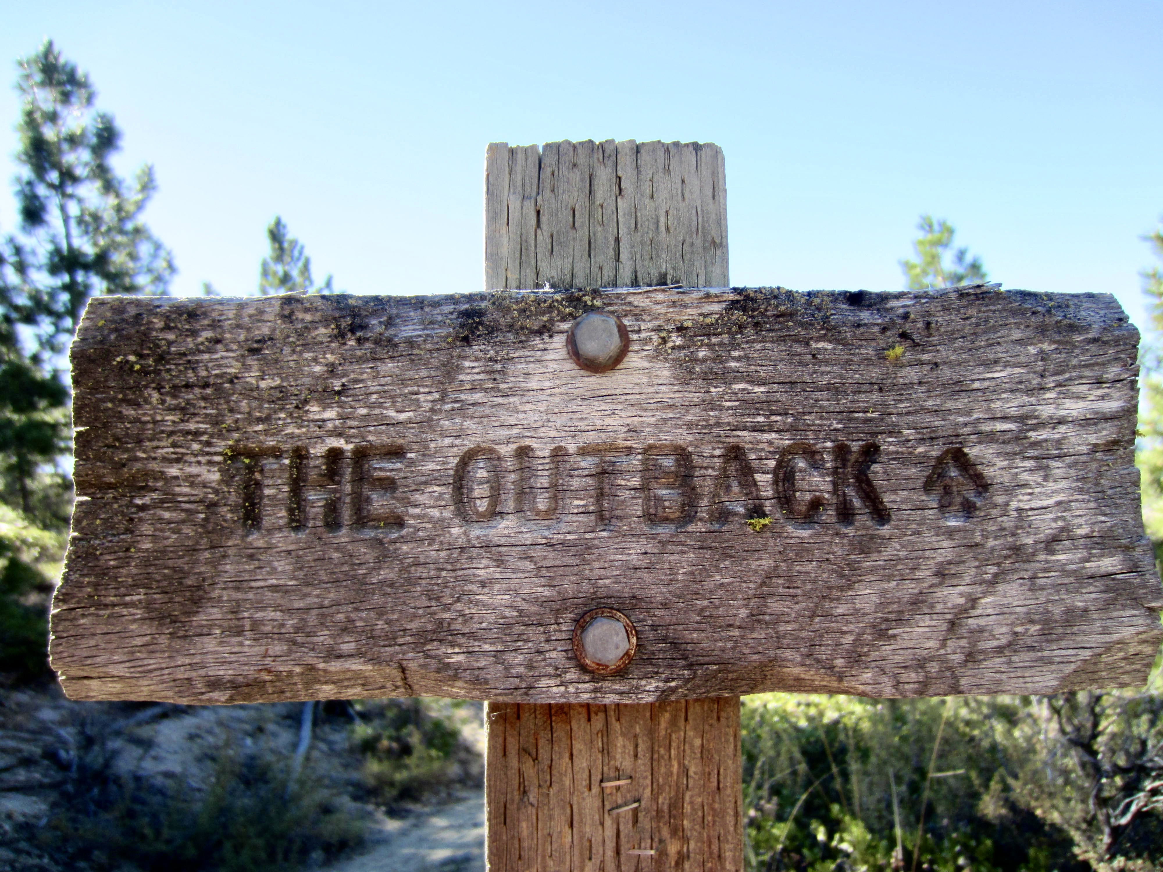
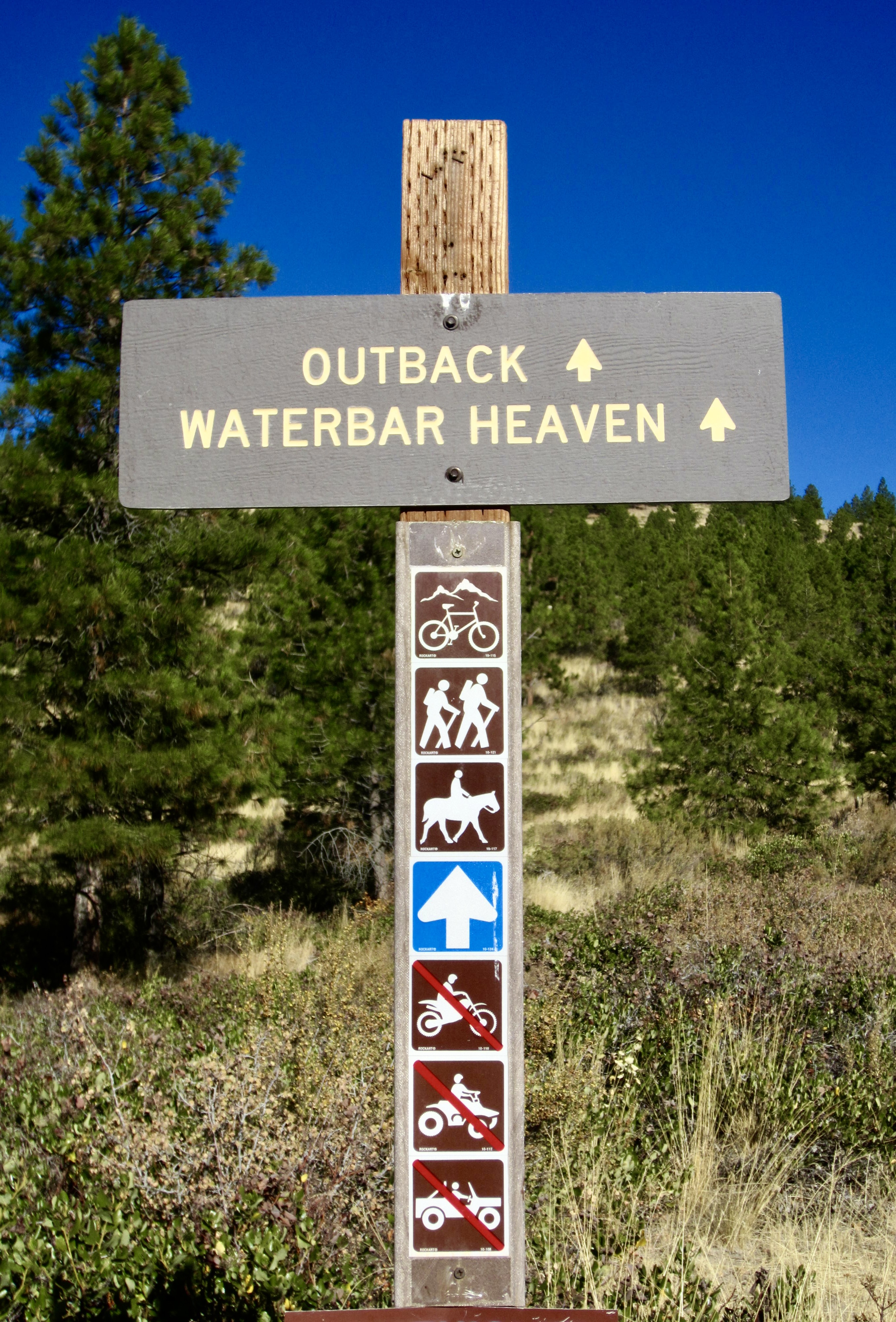
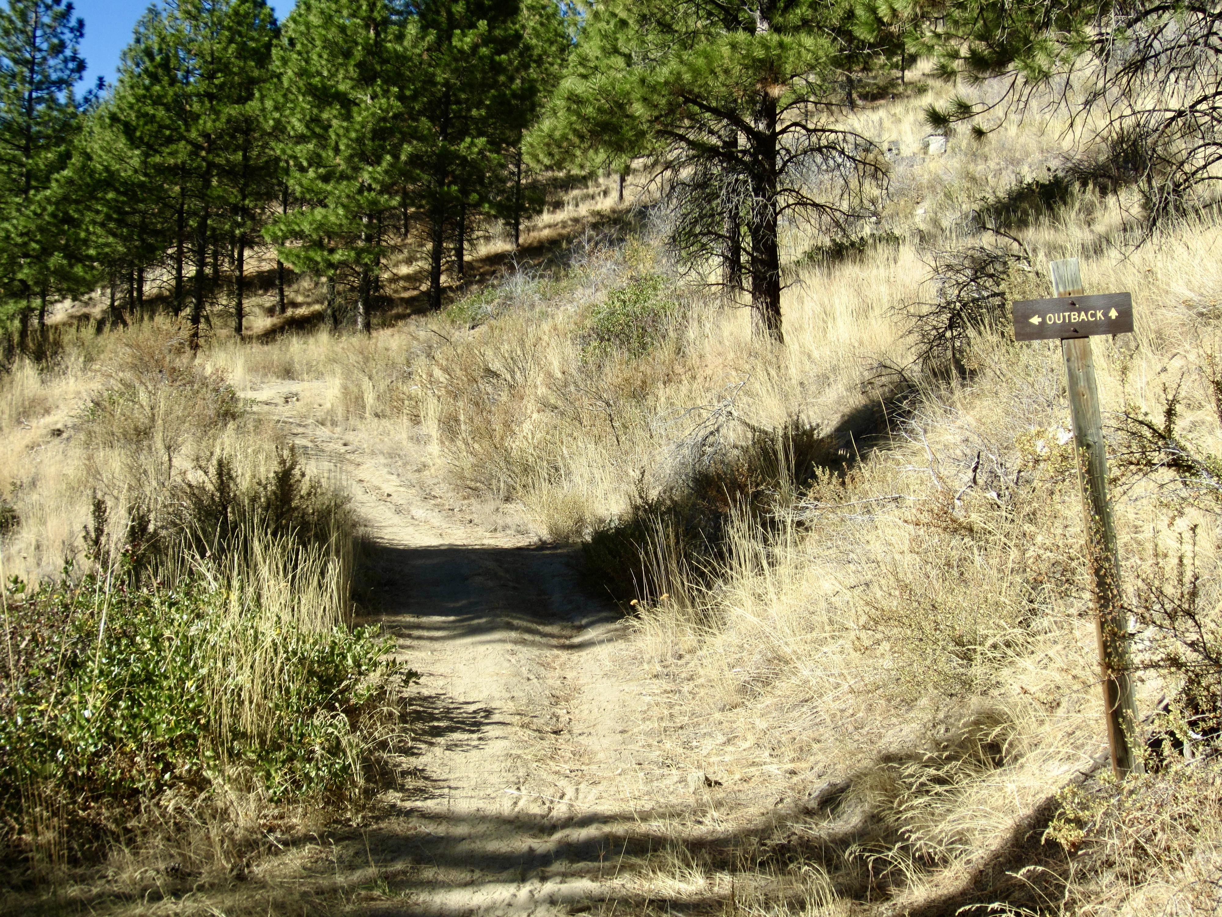
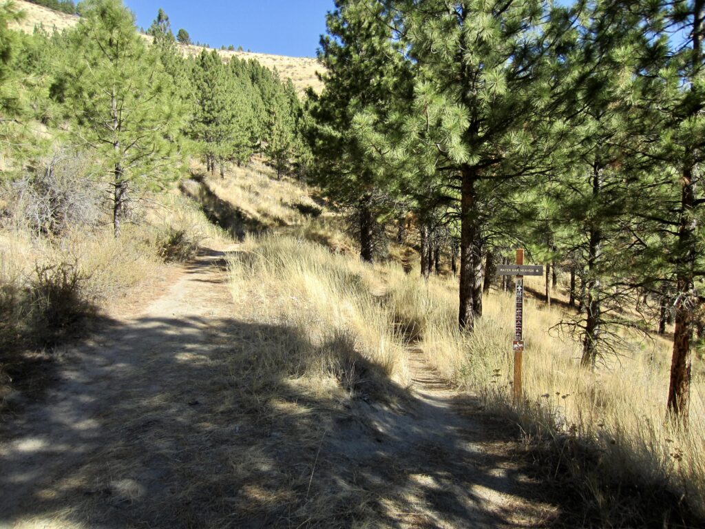
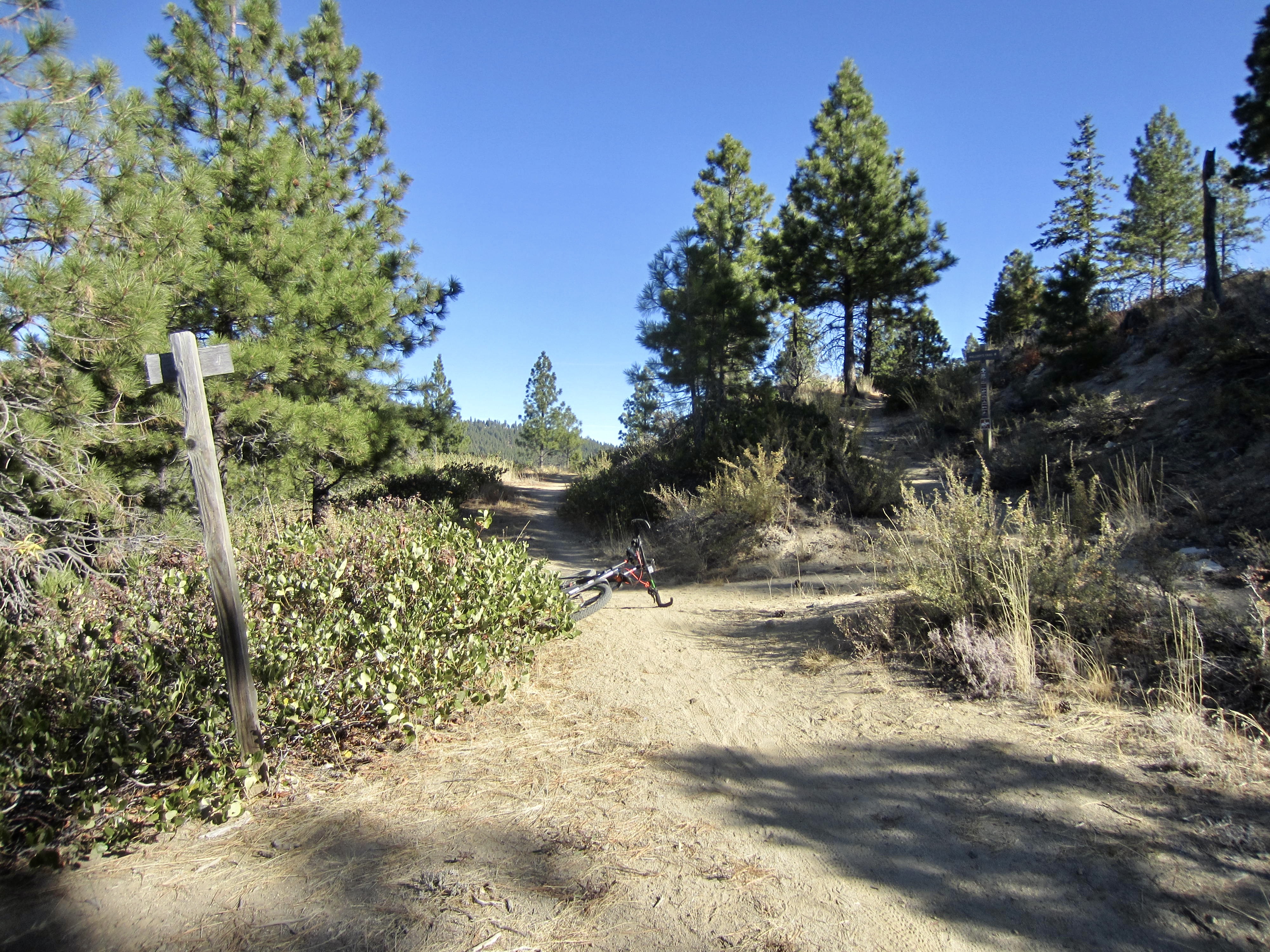
After completing a full circuit around Outback Hill, you will come to a trail fork with a double-track trail continuing straight ahead and a single-track trail angling downhill to the right. Take the latter trail, which is signed as Water Bar Heaven but is actually another branch of Outback Trail. This relatively new single-track segment was constructed specifically for mountain biking and provides a very fun descent back to North Junction (5.4 miles + 950 feet from starting point).
.
.
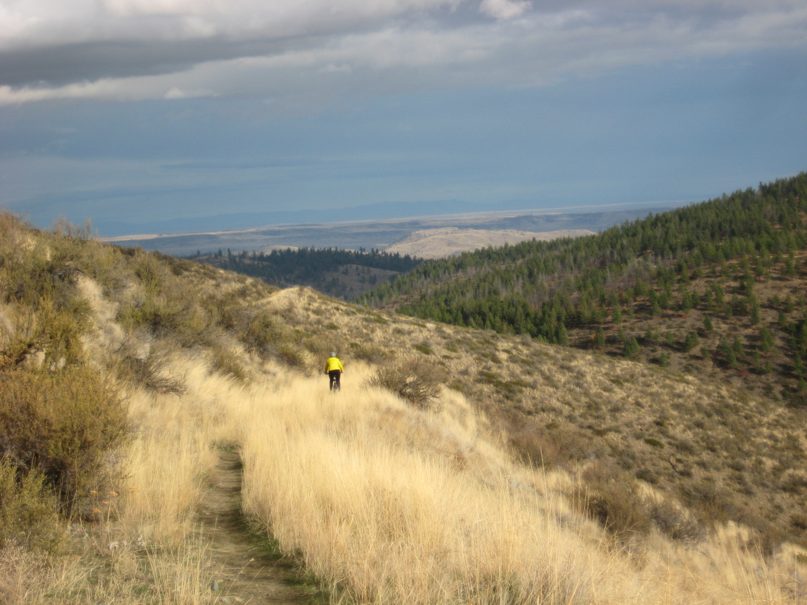
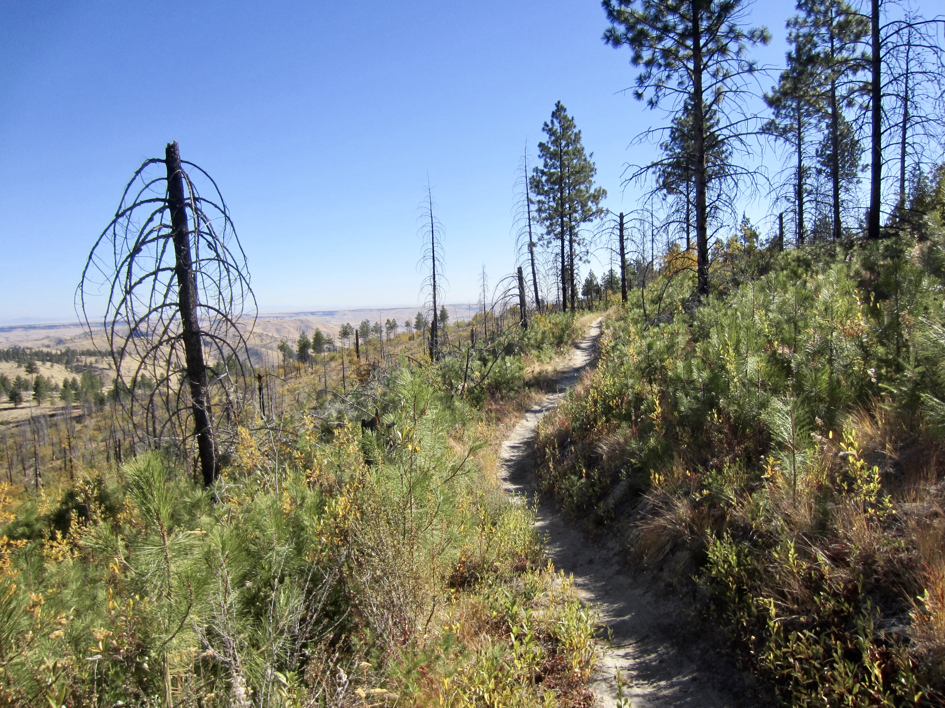
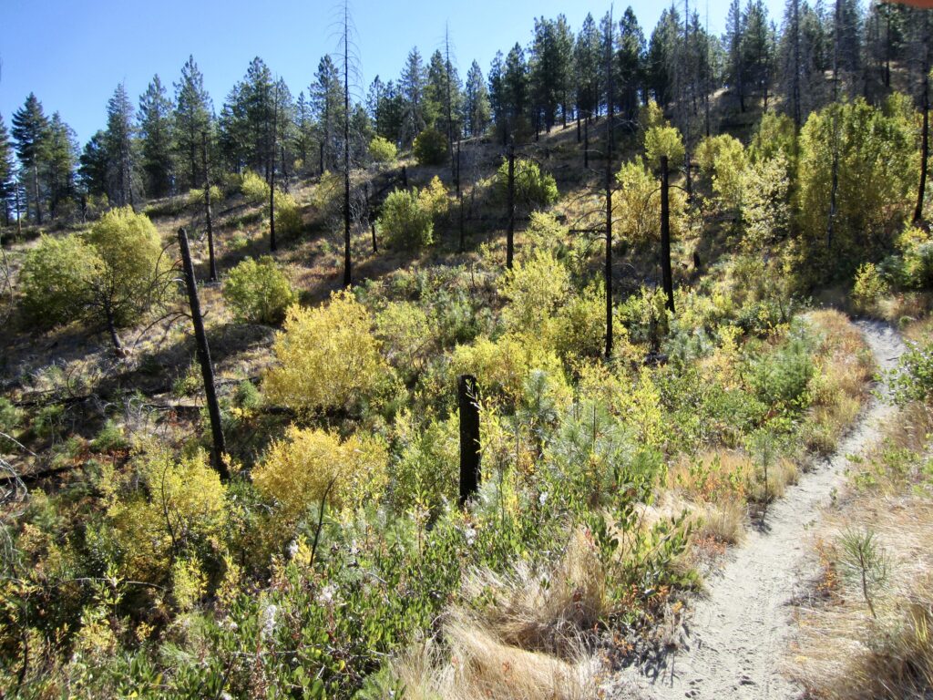
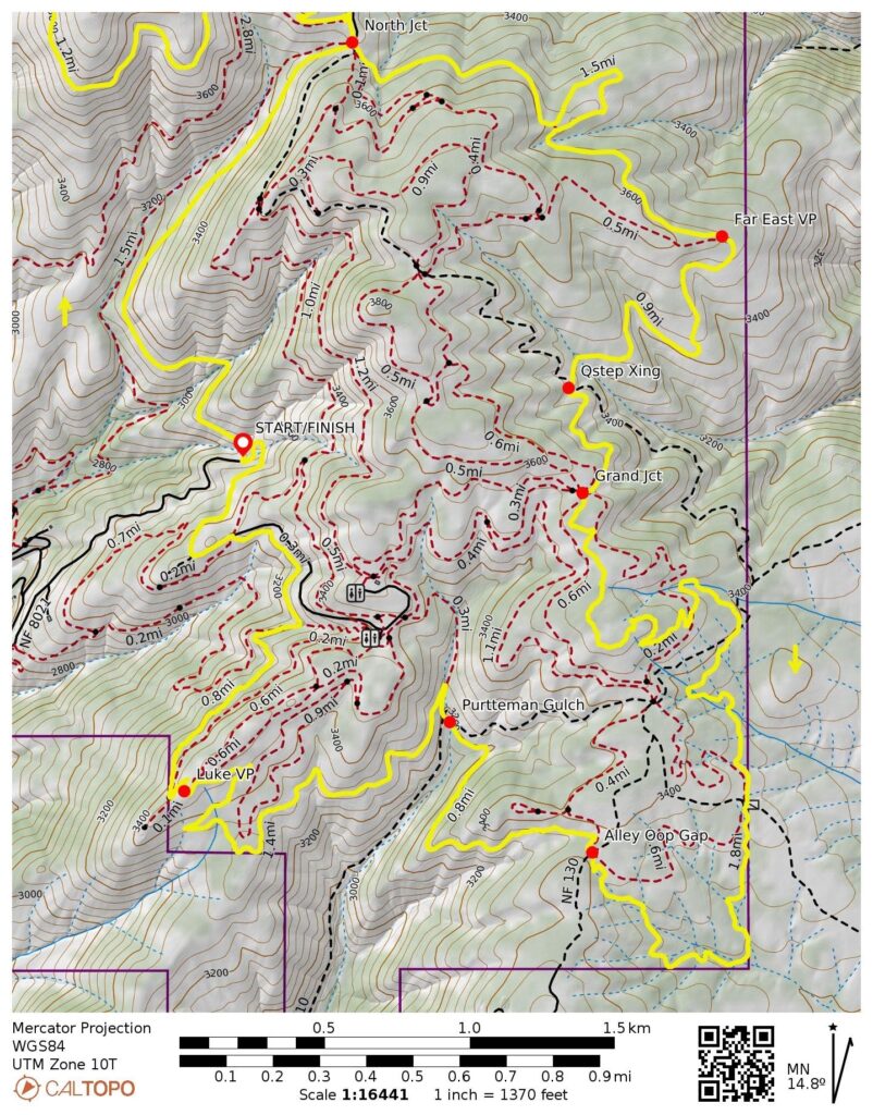
From the southeastern corner of the large parking lot at North Junction, look for a sign marking the Dust To Glory Trail. Ride eastward on this single-track trail, staying left at a fork and contouring across the brushy hillslope. A wildfire swept across the eastern side of Echo Ridge in 2015, completely burning the forest duff and groundcover plants, thereby leaving only flour-like dirt and blackened snags in its wake. Today, these hillsides have become naturally revegetated with a variety of bushes, along with thousands and thousands of young pine trees.
.
.
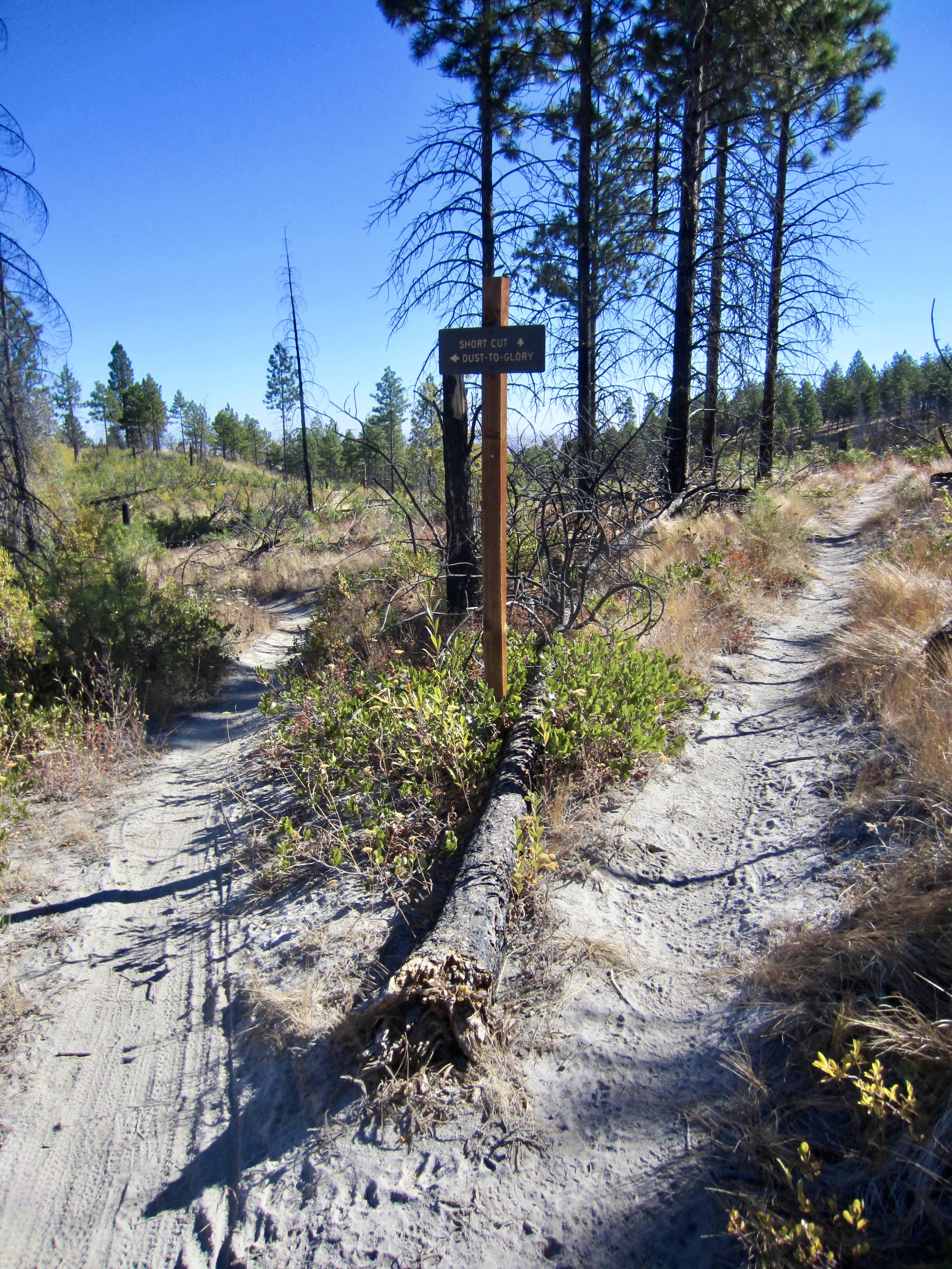
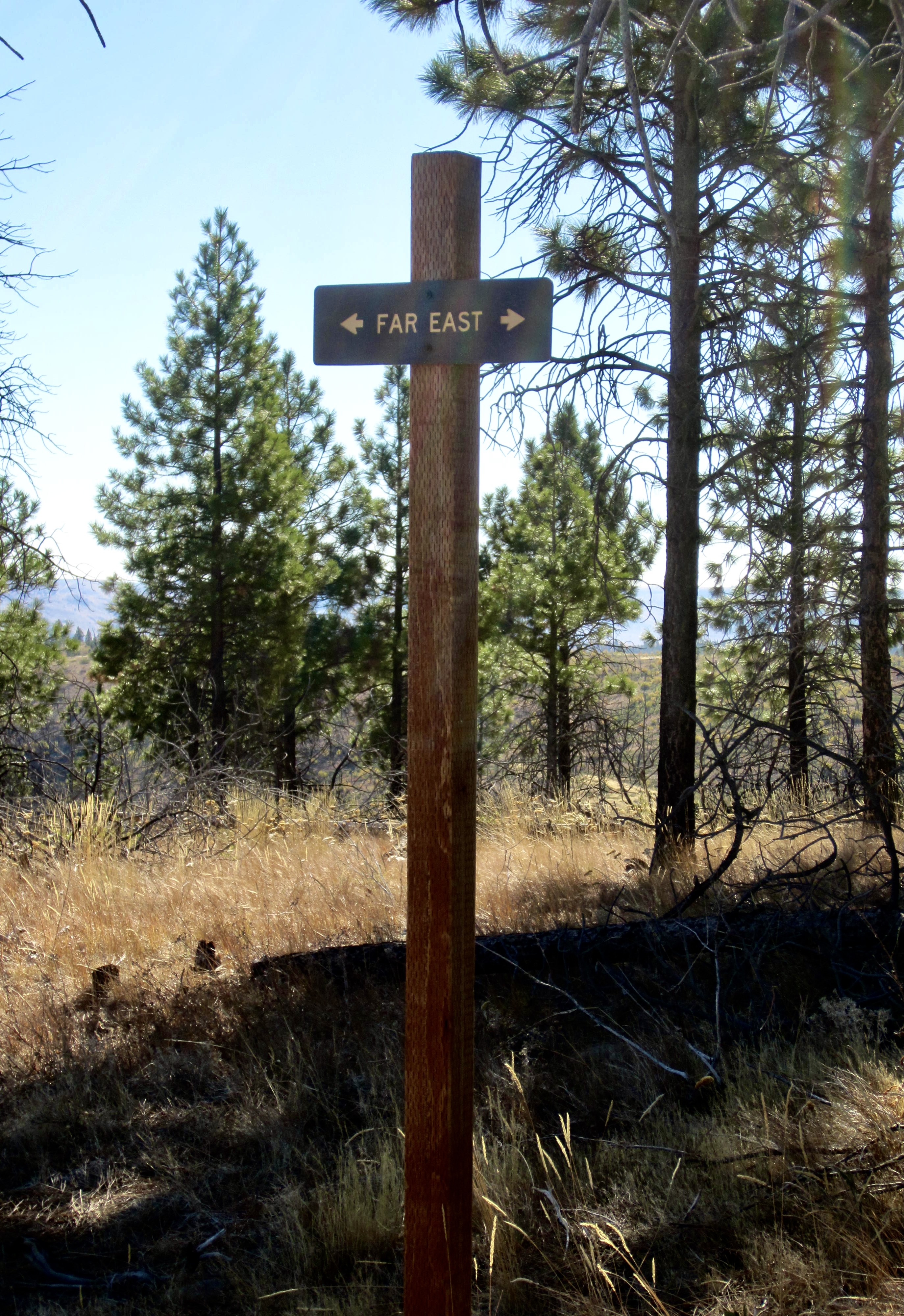
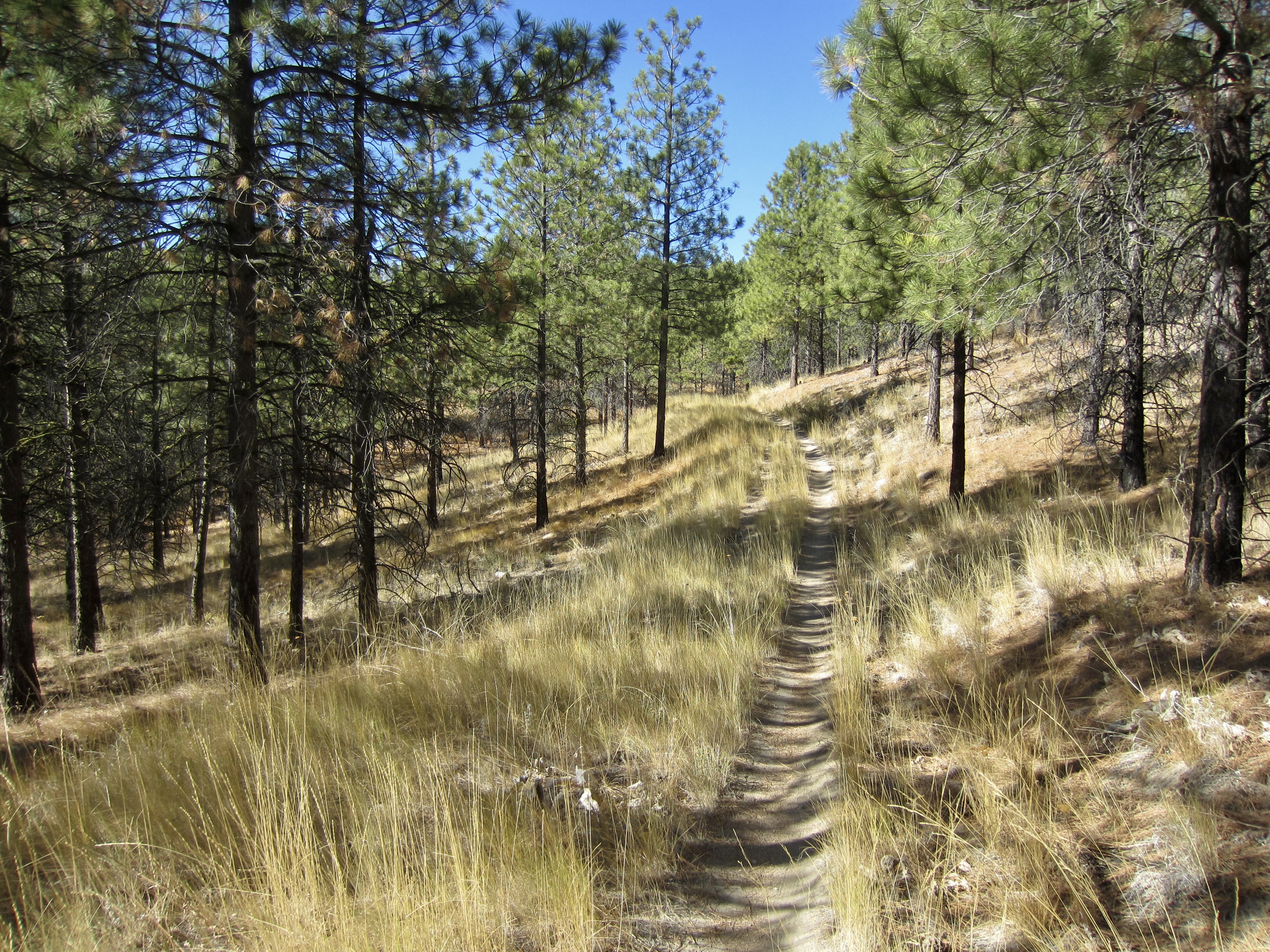
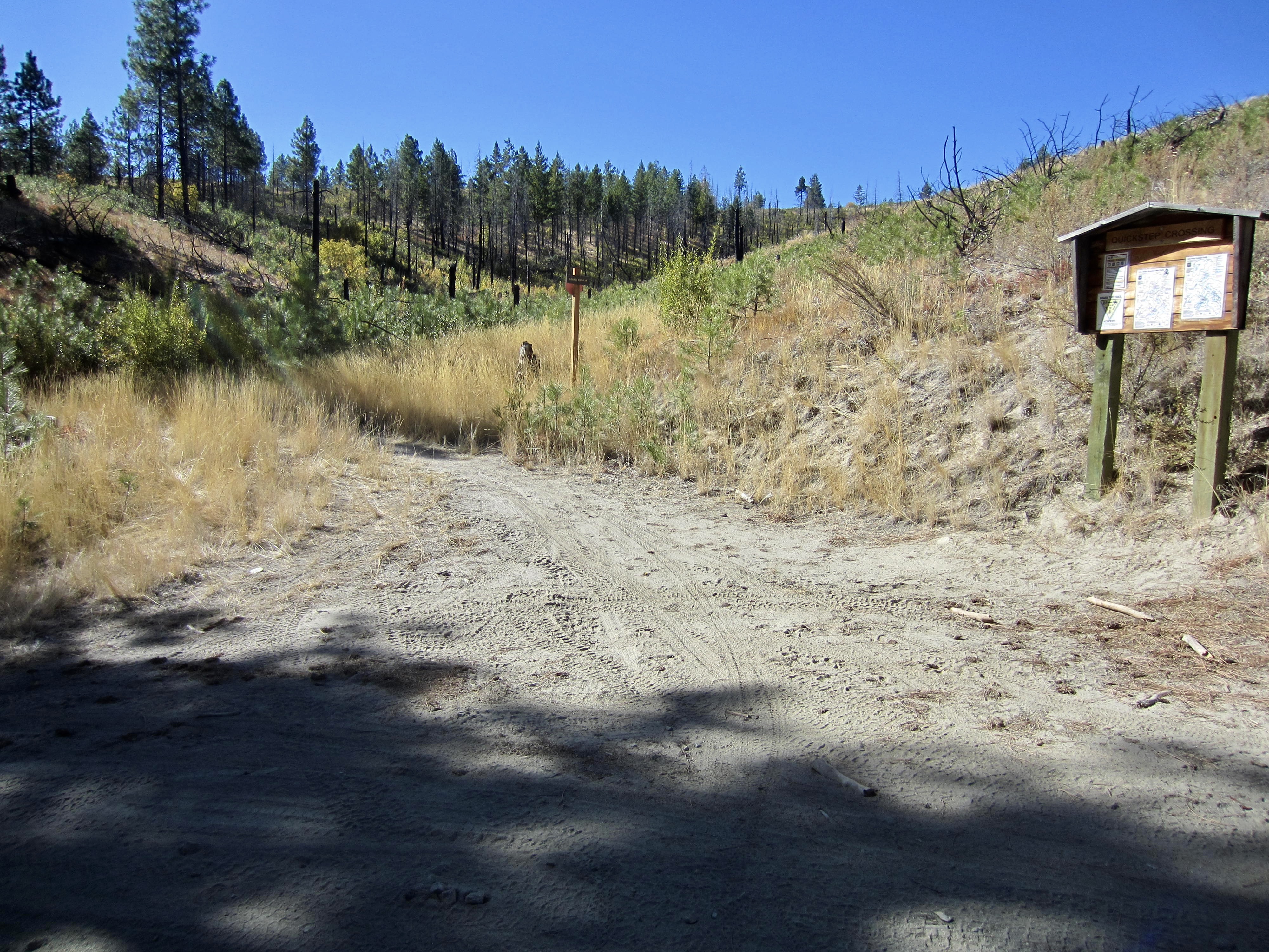
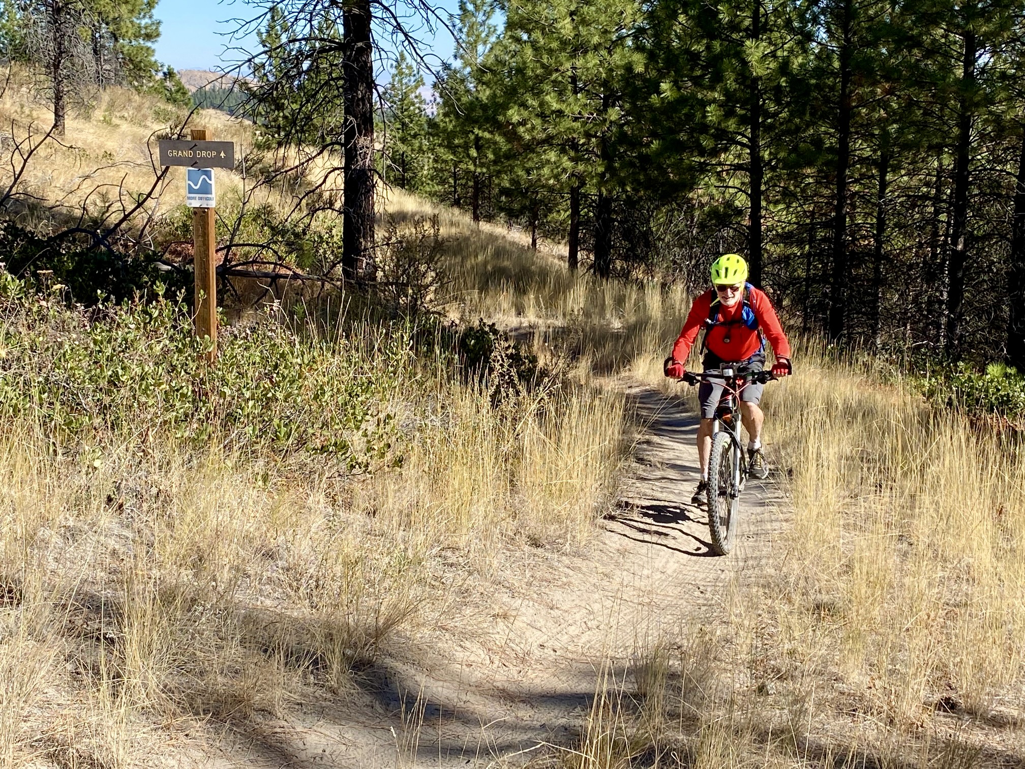
Dust To Glory Trail ends at a T-intersection with Far East Trail. Turn left at this intersection and follow Far East Trail as it zigzags through mostly unburned pine forest until its termination at Quickstep Crossing. Proceed straight ahead on Grand Drop Trail, which—contrary to its name—climbs steadily until arriving at Grand Junction (8.2 miles + 1150 feet from starting point)
.
.
.
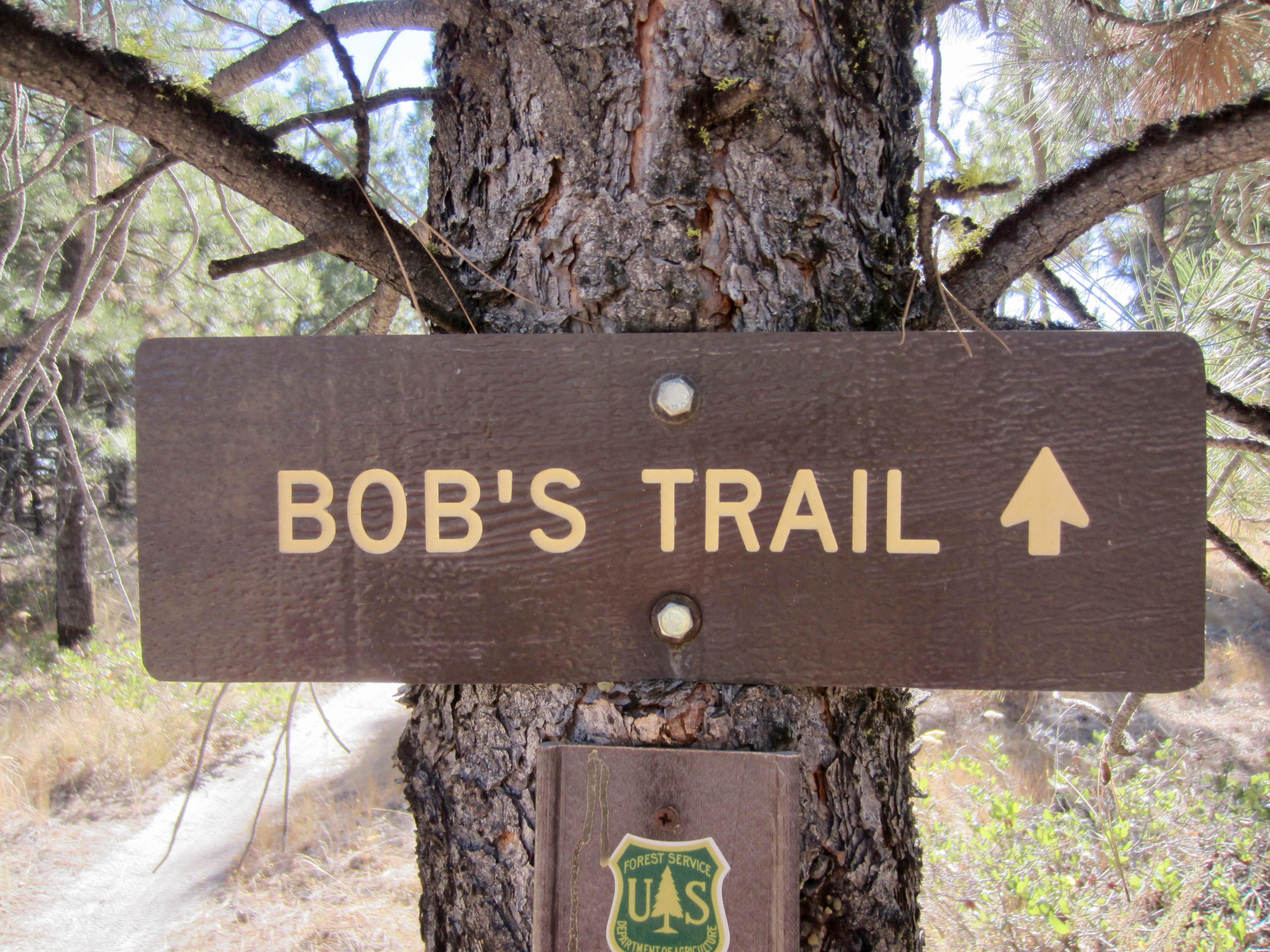
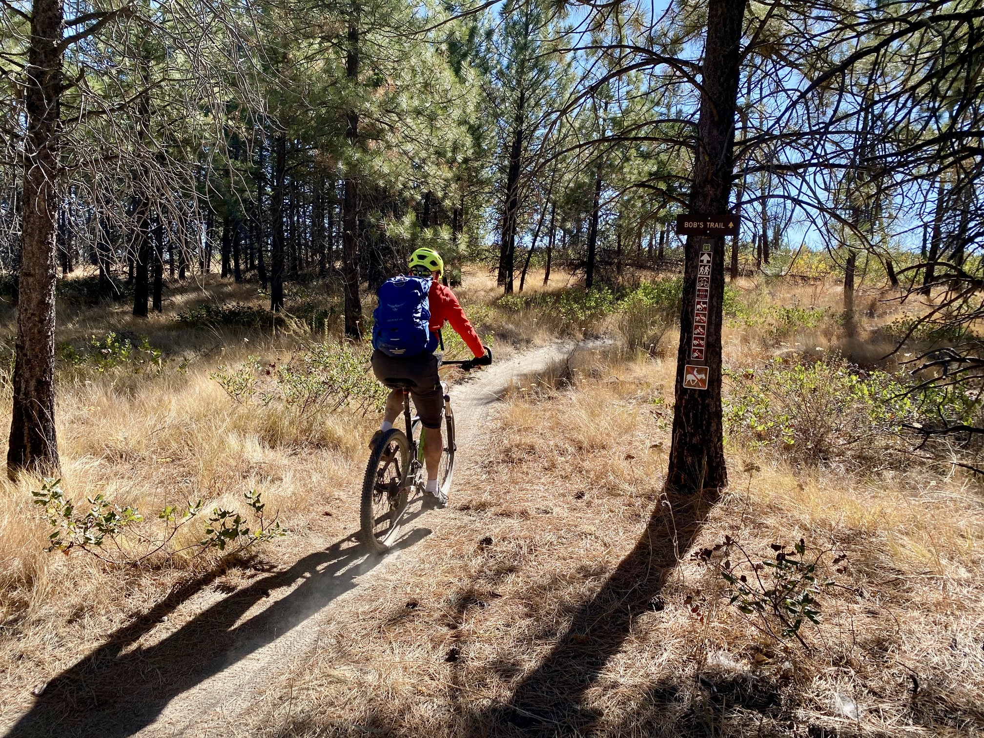
Grand Junction represents the convergence of no less than eight separate trails—like the hub of a wagon wheel. Look for a small sign marking Bob’s Trail, which heads south from the junction. This is the newest trail at Echo Ridge, and it was constructed specifically for mountain bikers. Very quickly, you will see that the builders took great care to make Bob’s Trail a truly delightful ride: it winds back and forth through the forest in in a swoopy fashion, with nicely banked corners.
.
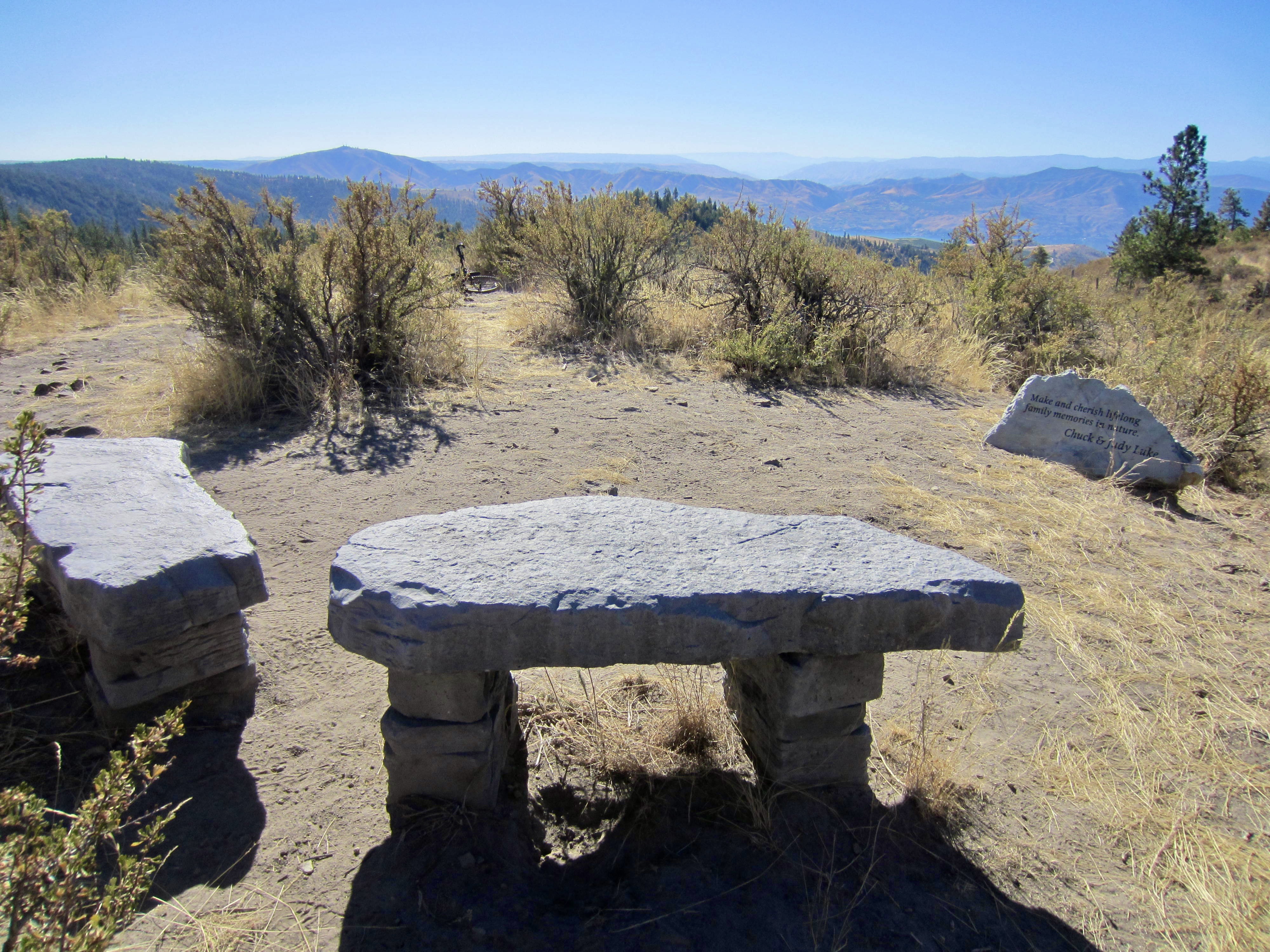
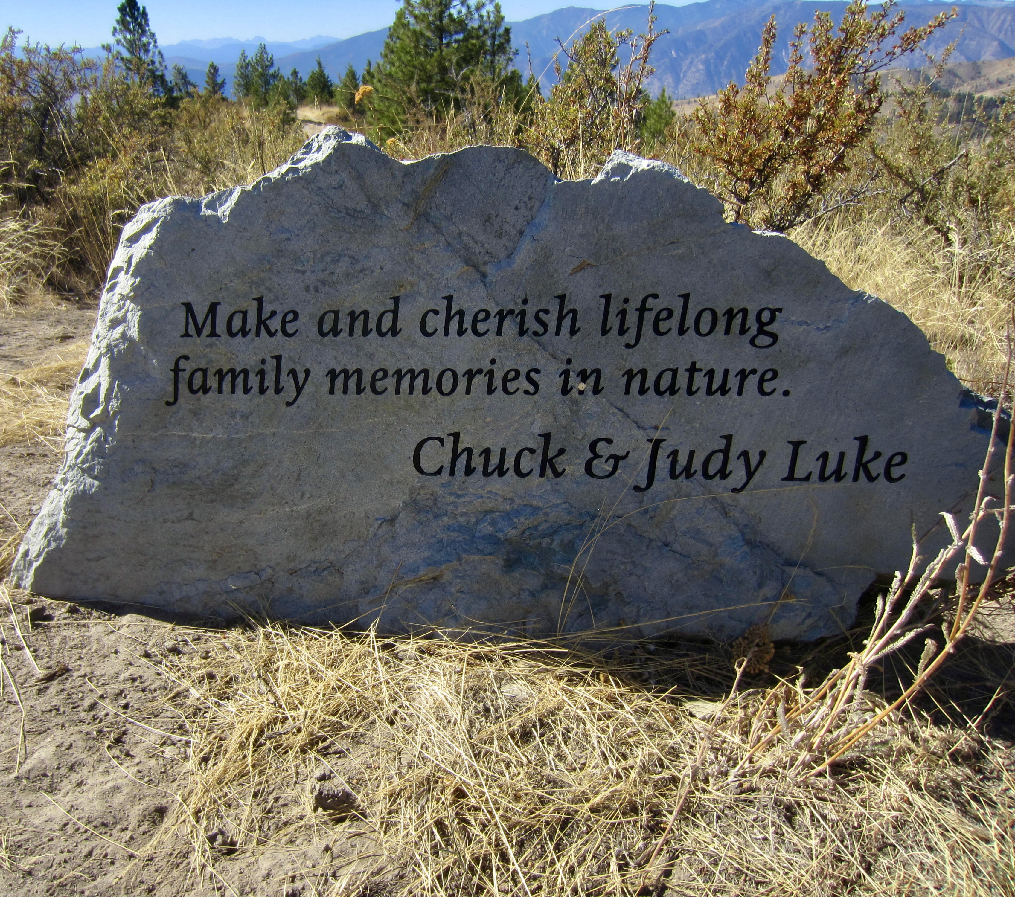
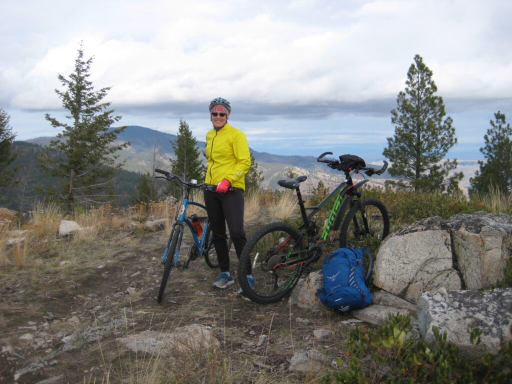
Bob’s Trail descends a bit in an easterly direction until bumping up against the National Forest boundary, then it follows the boundary line southward until forced to turn westward. It climbs over 3400-foot Alley Oop Gap, a local high point, and then drops into Purtteman Gulch. From the gulch invert, Bob’s Trail climbs along a spur ridge to reach the Luke Family Viewpoint (13.2 miles + 1650 feet from starting point). This marvelous viewpoint provides the perfect setting for a final rest stop and snack before completing your ride.
.
.
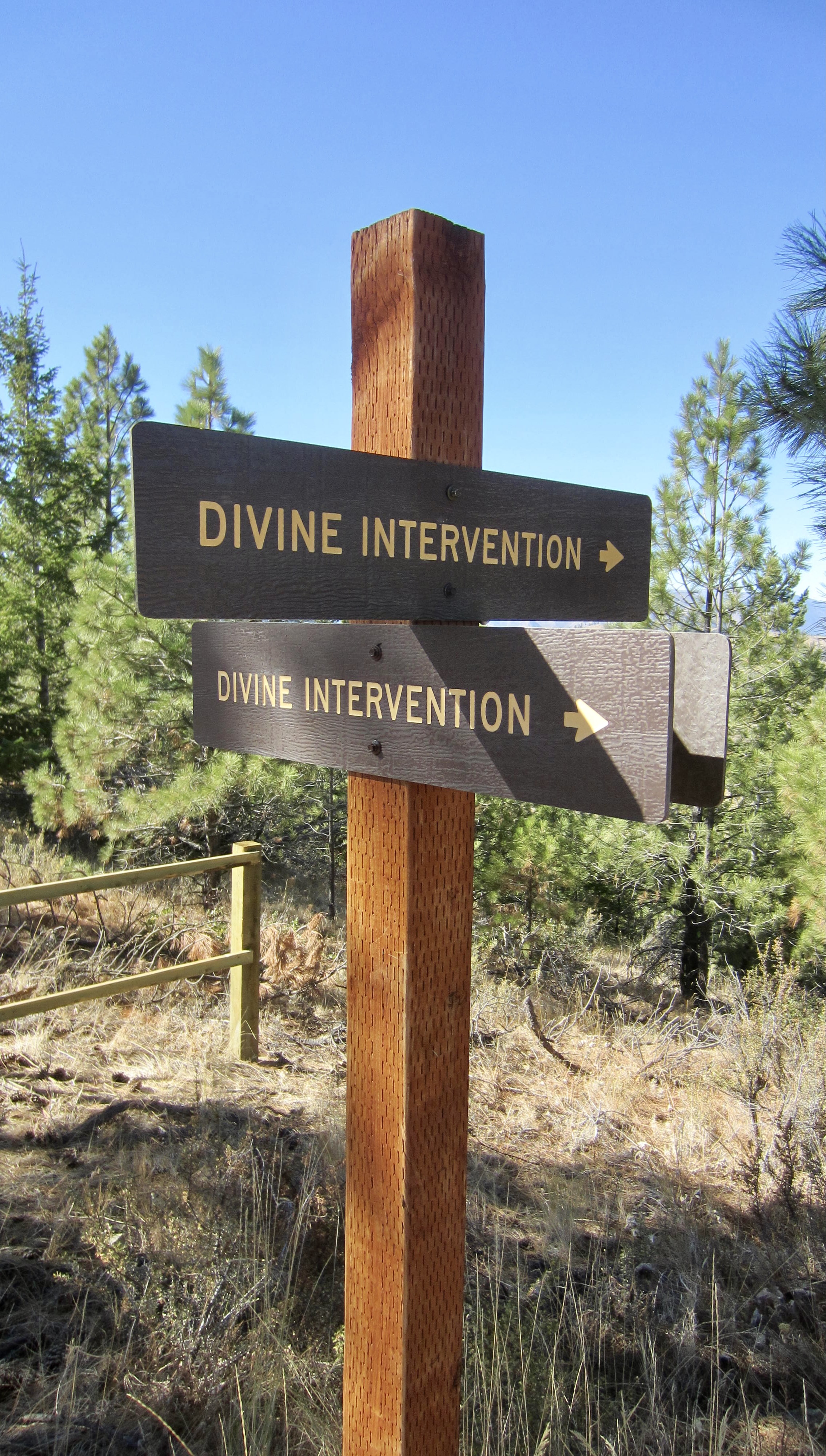
From the Luke Family Viewpoint, Bob’s Trail crosses over the ridge crest and drops slightly to a hairpin junction with Divine Intervention Trail. Your options here are to turn sharply right on a level double-track trail (an old road) or to turn less-sharply right on a single-track trail that angles down from the road. Take the latter trail and make a fun descending traverse through dense forest until reaching another trail junction in a shallow gulch.
.
.
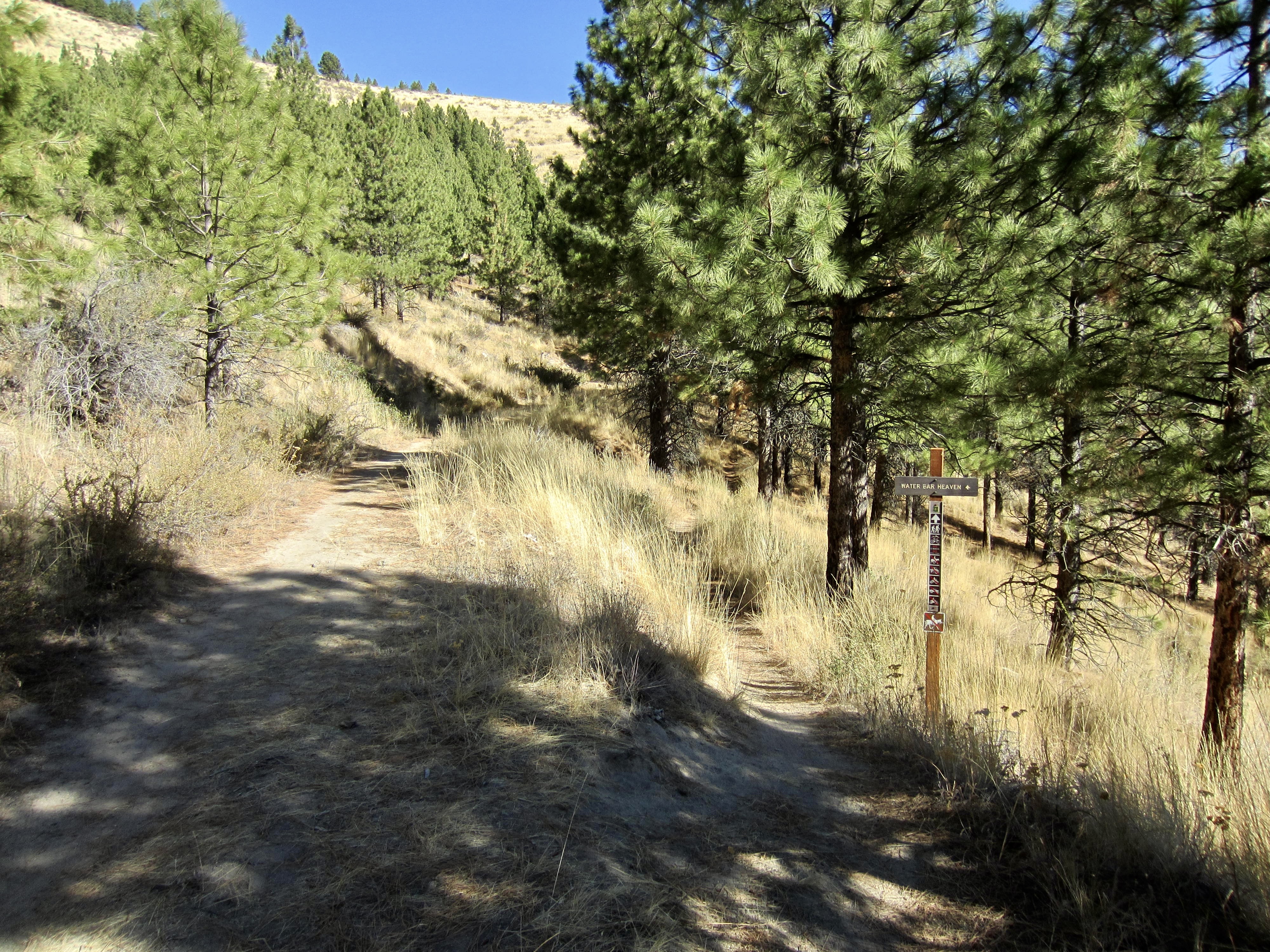
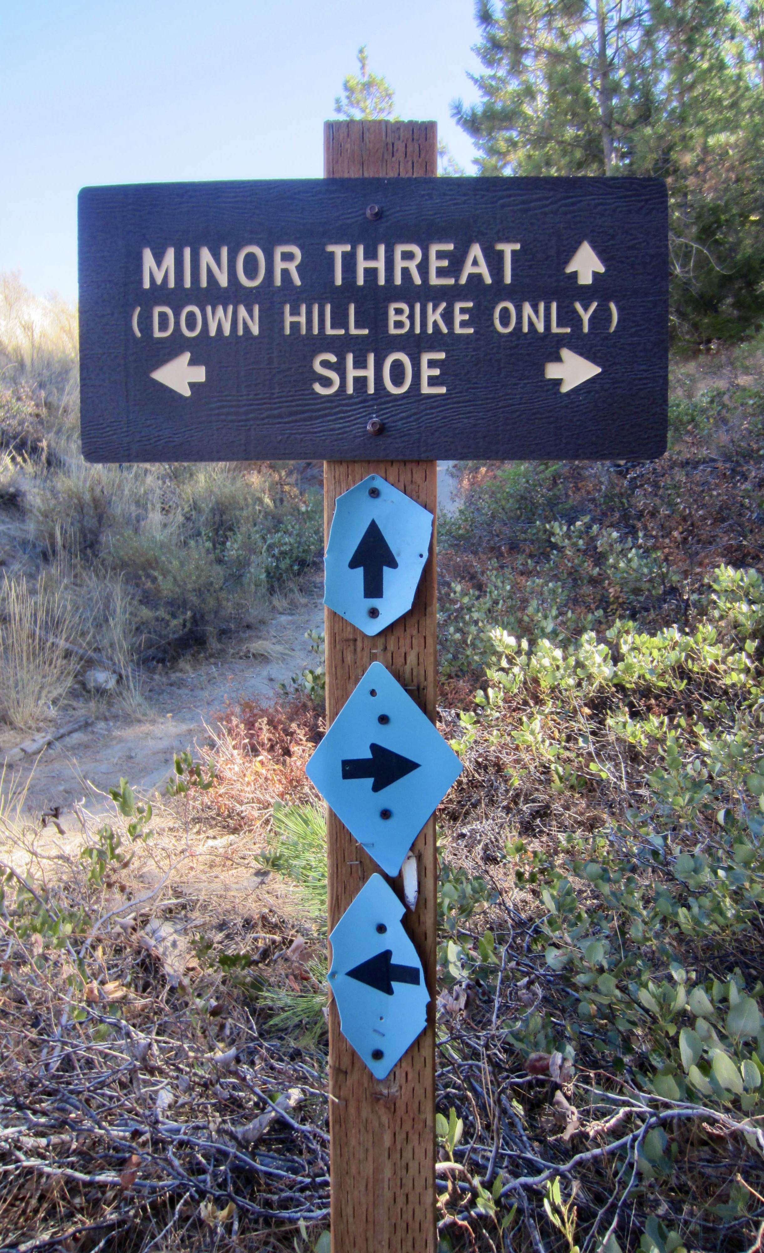
Leave the gulch on Shoe Trail, which traverses open hillslopes leading to an intersection with the wide Echo Ridge Road adjacent to the Shoe Trailhead kiosk. Turn left on Echo Ridge Road and pedal uphill slightly as it crosses over a ridge spur, then enjoy a fast glide down to your starting point at Zoom Trailhead (14.7 miles + 1700 feet from starting point).
.
Mallory’s Outback Hill Sidetrip
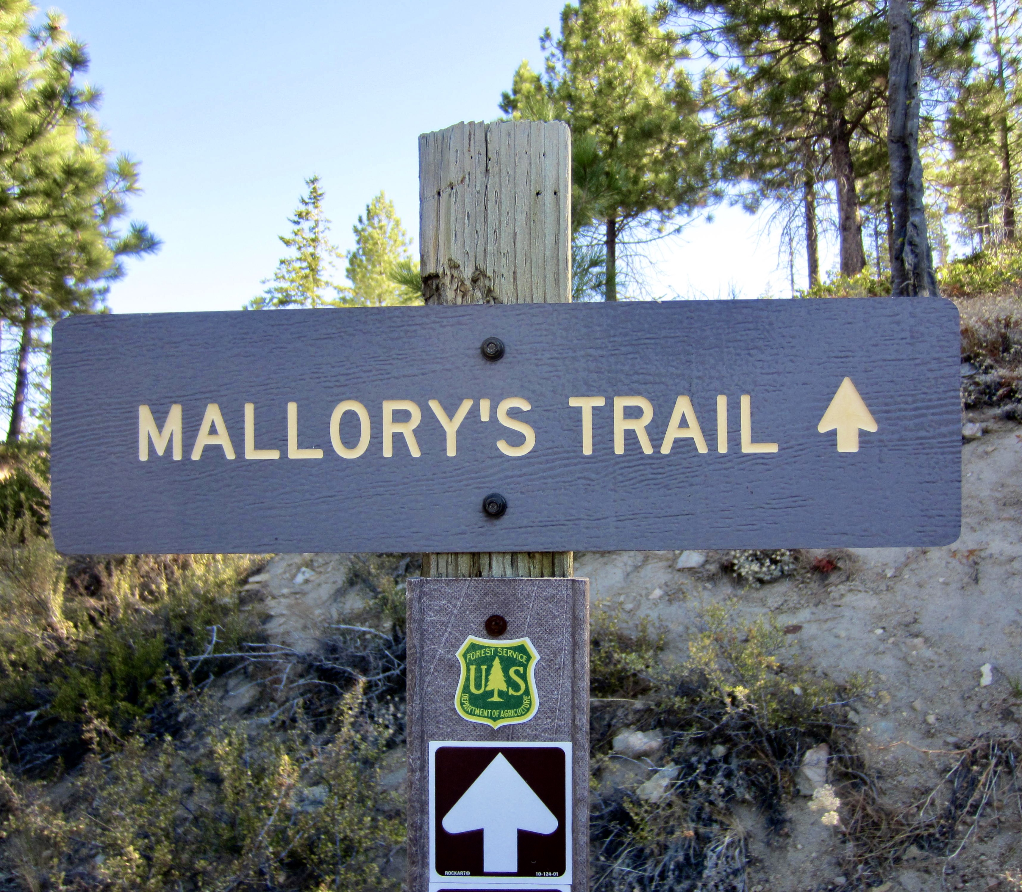
For riders who have a little extra time and energy, Outback Hill offers a worthwhile sidetrip in conjunction with the figure-8 loop. This 4324-foot summit can be accessed via Mallory’s Trail, which departs from Outback Trail at Mallory’s Junction on the western side of the hill. Strong riders will be able to pedal up the entire 330 vertical feet, but many other riders will need to push their bikes up the steeper portions. Of course, it would be reasonable to stash your bike and simply hike up the whole trail.
.
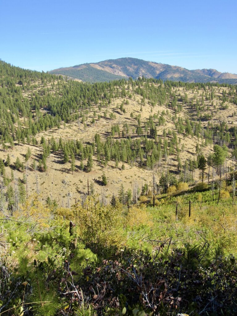
The rounded summit dome culminates in a small cluster of rocks, and there is usually some sort of register book contained in an ammo box. Not surprisingly, the summit views are excellent on a clear day. Look for Glacier Peak on the northwestern horizon, and Mt. Stuart on the southwestern horizon.
.
Route Maps & Profile
…
…
…
…
Photo Gallery
Click to enlarge…